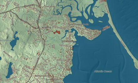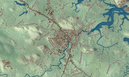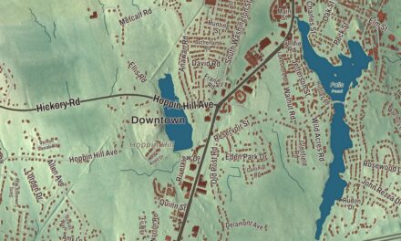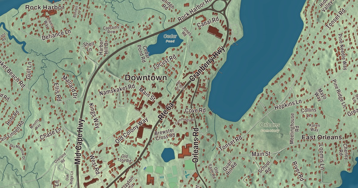
Orleans sits on the inner elbow of Cape Cod, between the bay and the ocean. This map prints the roads that cross it, the Mid-Cape Highway, Cranberry Highway, Harwich Road, South Orleans Road, Orleans Road and Bakers Pond Road, with Rock Harbor, Areys Pond and Barley Neck. Click here to purchase a print of this map for your wall.
Orleans is in Barnstable County.
KNOWOL made this map in 2026 from public survey data and gave it the look of an old coastal atlas. United States Geological Survey elevation data shapes the low ground between the ponds and the shore, and the Census Bureau supplied the streets and the town line. Orleans covers 22.7 square miles, of which 8.5 square miles is water, and had 6,307 people at the 2020 census. Eastham lies to the north, the Atlantic Ocean to the east, Pleasant Bay and Chatham to the south, Harwich to the southwest, Brewster to the west and Cape Cod Bay to the northwest. Bogs and ponds dot the west of town, and inlets, islands and harbors line the east, among them Town Cove, Nauset Harbor and Pleasant Bay.
A town that wanted a French name
The Town of Orleans’ recorded history, in the Secretary of the Commonwealth’s list, dates European settlement to 1693, when Pilgrims from the Plymouth Colony came here unhappy with the poor soil and small tracts they’d been granted. Orleans was incorporated as a town in 1797, separating from Eastham. It was named for Louis Philippe II, Duke of Orléans, in thanks for France’s help in the Revolution, and because, having been captured twice by the British during the war, the town didn’t want an English name. Fishing, whaling and farming came first, and salt works grew up to preserve the catch. The town used up its timber, and it wasn’t until the railroad came in the 1800s, bringing lumber from the mainland, that the shortage began to ease; the railroad brought tourists too.
On December 19, 1814, during the War of 1812, the British returned to Rock Harbor and set fire to two boats, and townspeople put the fires out; the town page says residents drove off the landing party. In 1891 the French Cable Company built a station at Cove Road and Route 28, and by 1898 it was the end of a 3,200-mile telegraph cable under the Atlantic from France. Ten Orleans citizens bought the building in 1972, and it’s now the French Cable Station Museum. On July 21, 1918, a German submarine shelled a tug and barges three miles offshore, and a few shells landed in a marsh and on Nauset Beach; the town page calls the beach the only site in the United States hit by foreign munitions in that war. The crew of Coast Guard Station No. 40 rowed out under fire and rescued the 32 sailors aboard, and no one was killed. The creation of the Cape Cod National Seashore in 1961 helped the town’s tourist trade.
Summer baseball
The Orleans Firebirds of the Cape Cod Baseball League play at Eldredge Park, which opened in 1913 on land given to the town by Louis Winslow “Win” Eldredge; the team’s page calls it the league’s oldest ballpark. Orleans won seven league titles between 1947 and 1957, and more than 100 of its players have gone on to the major leagues, among them Frank Thomas and Nomar Garciaparra. The town remains part of Barnstable County today.
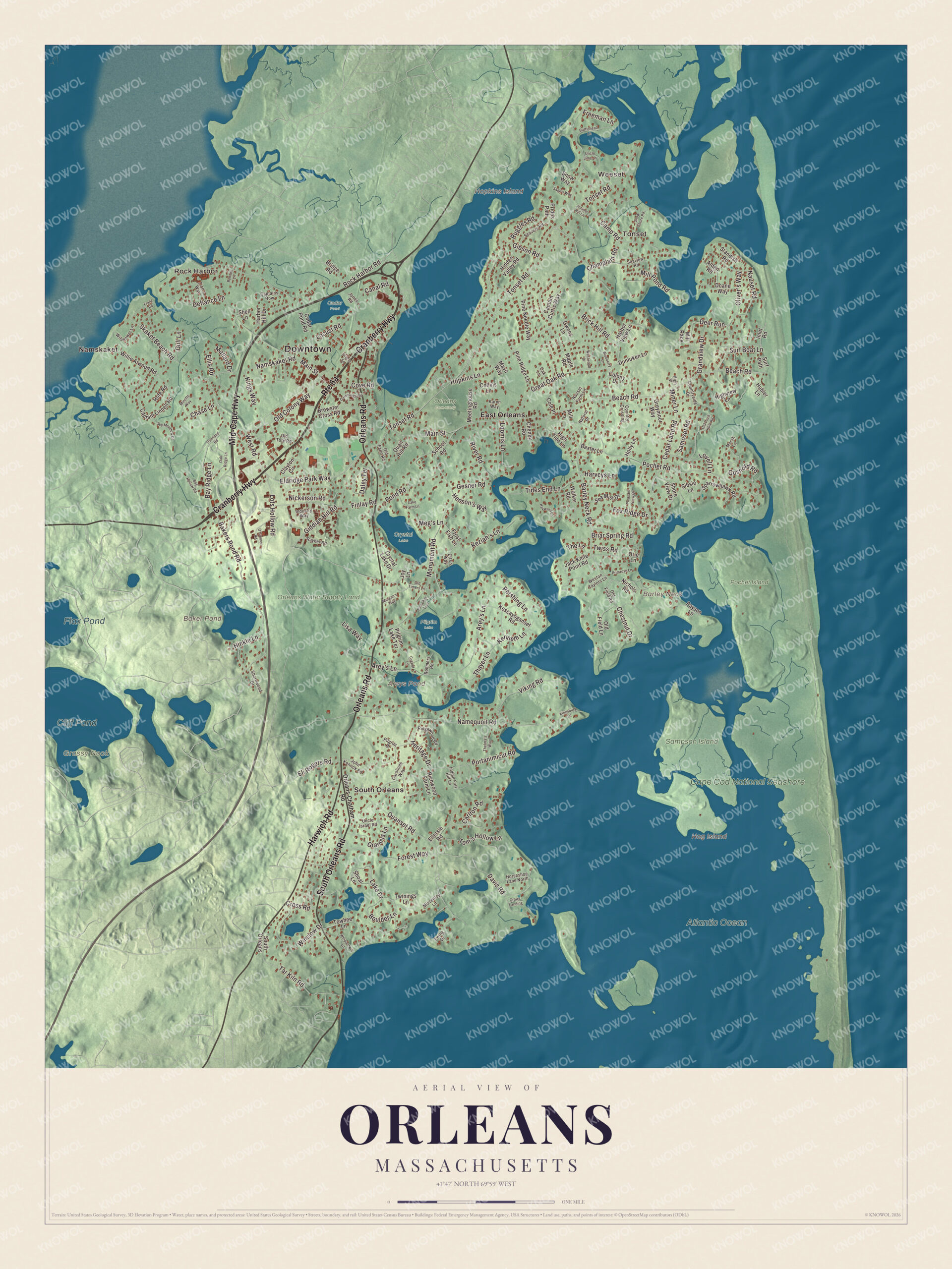
Click to explore a larger preview. The digital watermark does not appear on printed maps.
Names on this map
These names are printed on this map.
Places: Downtown, Namskaket, Rock Harbor, Weeset, Tonset, Barley Neck, Grassy Nook, Hog Island, Hopkins Island, Areys Pond, Baker Pond, Cliff Pond, Flax Pond, Atlantic Ocean, Cape Cod National Seashore, Cedar Pond, Crystal Lake, Orleans Cemetery, Orleans Water Supply Land, Pilgrim Lake, Pochet Island, Sampson Island, East Orleans and South Orleans.
Streets and roads: Cranberry Highway, Mid-Cape Highway, Harwich Road, South Orleans Road, Orleans Road, Bakers Pond Road, Tonset Road, Barley Neck Road, Beach Road, Brick Hill Road, Eldridge Park Way, Main Street.
More street names, A to Z
Alden Road, Arey's Lane, Baxter Lane, Bay Ridge Lane, Blueberry Lane, Bog Hollow Road, Bonnell Lane, Boulder Lane, Brewster Cross Road, Briar Spring Road, Bridge Road, Bufflehead Lane, Camp Road, Canal Road, Captain Curtis Way, Captain Linnell Road, Captains Row, Carlton Road, Carolines Way, Cedar Land Road, Cedar Pond Road, Champlain Road, Chase Lane, Cheney Road, Chestnut Drive, Clayton Circle, Cole Place, Collins Lane, Colony Drive, Country Crossing, Countryside Drive, Cove Road, Cross Road, Crows Landing, Crystal Lake Drive, Cummings Road, Cygnet Lane, Daley Terrace, Davis Road, Deer Run, Defiance Lane, Doane Way, Dunluken Lane, Eli Rogers Road, Ellersie Road, Ellis Road, Etta's Way, Ewing Drive, Finlay Road, Forest Way, Fox Ridge Drive, Franz Road, Freeman Lane, Frost Fish Lane, Gesner Road, Gibson Road, Giddiah Hill Road, Gosnold Road, Grandview Drive, Grannys Lane, Great Oak Road, Greymoor Way, Gull Lane, Gwens Lane, Harbor Hill Drive, Harbor View Lane, Harveys Lane, Hayward Lane, Henson's Way, Heritage Drive, Hidden Valley Road, High Street, High Tide Lane, Highview Lane, Hinkle Lane, Hofe Road, Holly Lane, Hopkins Lane, Horseshoe Lane North, Hubler Lane, Indian Fort Hill Lane, Industry Way, Inlet Road, Jack Knife Point Road, John Kenrick Road, Jones Road, Joy Lane, Juniper Hill Lane, Karen Way, Kenneth Lane, Kescayoganset Road, Keziah's Lane, Kingsbury Lane, Kings Way, Lake Drive, Lake Farm Lane, Lisa Way, Locust Road, Loomis Lane, Lots Hollow Road, Lovell Lane, Mallard Drive, Maple Road, Marsh Lane, Mayo Way, Meetinghouse Road, Meg's Lane, Mill Lane, Mill Pond Road, Mill Race, Miner Lane, Minotts Way, Mizzentop Lane, Monument Road, Morgan's Way, Namequoit Road, Namskaket Road, Natural Drive, Nauset Farm Lane, Nauset Road, Nichols Road, Nickerson Road, O'Connor Road, Oak Lane, Oak Ridge Lane, Old Colony Way, Old Duck Hole Road, Old Farm Road, Old Field Lane, Old Field Road, Old Timers Lane, Old Tote Road, Oliver's Way, Oracle Square, Orie Lane, Orleans-Chatham Road, Overland Road, Payson Lane, Pershing Lane, Pilgrim Drive, Pilgrim Lake Terrace, Pine Needle Way, Pine Ridge Lane, Pleasant View Drive, Pochet Road, Pomphos Trail, Pond Road, Portanimicut Road, Prides Path, Primrose Lane, Quail Hill Road, Quanset Road, Rayber Road, Richwood Farm Lane, Ridgewood Road, River Road, Rock Harbor Road, Rohmers Road, Ruggles Road, Sage's Way, Samoset Road, School Road, Sea Mist Drive, Seavers Road, Seaview Road, Shell Lane, Shoal Lane, Shore View Drive, Shorewood Drive, Sibsie Lane, Skaket Beach Road, Sky Meadow Drive, Snow Shore Road, Snow Way, Sparrowhawk Road, Standish Road, Surf Boat Lane, Surf Path, Tar Kiln Road, Thayer Lane, The Lane, Thelma's Way, Tides End Lane, Tom's Hollow Lane, Towhee Lane, Twinings Lane, Twiss Road, Uncle Israel Road, Uncle Jims Lane, Viking Road, Walker Road, Weston Taylors Lane, West Road, Westwood Drive, Whipporwill Lane, Wildflower Lane, Willie Atwood Road, Winslow Drive, Zion's Way.
See it on a wall
The Orleans map as a framed print. Swipe for more.


Around the map
Start with Namskaket. Follow Cranberry Highway, Mid-Cape Highway, Harwich Road, South Orleans Road, Orleans Road and Bakers Pond Road across town. Then look outward toward Rock Harbor, Weeset, Tonset, East Orleans and South Orleans. Areys Pond, Baker Pond, Cliff Pond, Flax Pond, Barley Neck and Hog Island are all printed on the map. Rock Harbor is a man-made harbor on Cape Cod Bay, on the line between Orleans and Eastham, dredged to keep 4 feet of water at low tide, where a small commercial and charter fishing fleet docks. Nauset Beach runs south along the ocean side from a point across from Nauset Bay to the mouth of Chatham Harbor, and the Snow Library stands in Orleans Center.
The Orleans map is a fine addition to an office, library or den, and it can help teach children the geography and history of a town on the elbow of Cape Cod. It’s made for anyone who calls Orleans home, from Rock Harbor to South Orleans, and it shows the town as it looks today. Zoom in on the preview above to explore the details, then click here to get your copy of the Orleans, Massachusetts map.

Sources