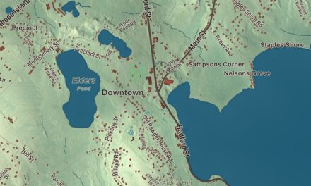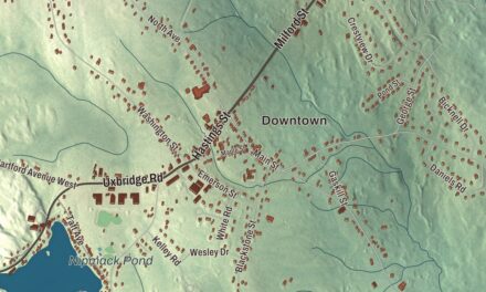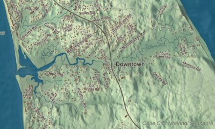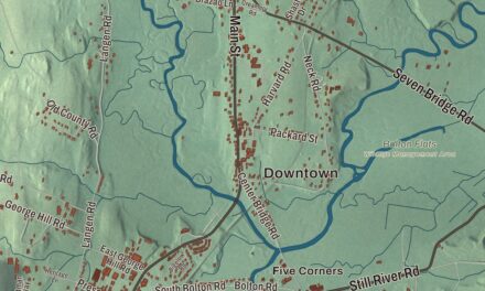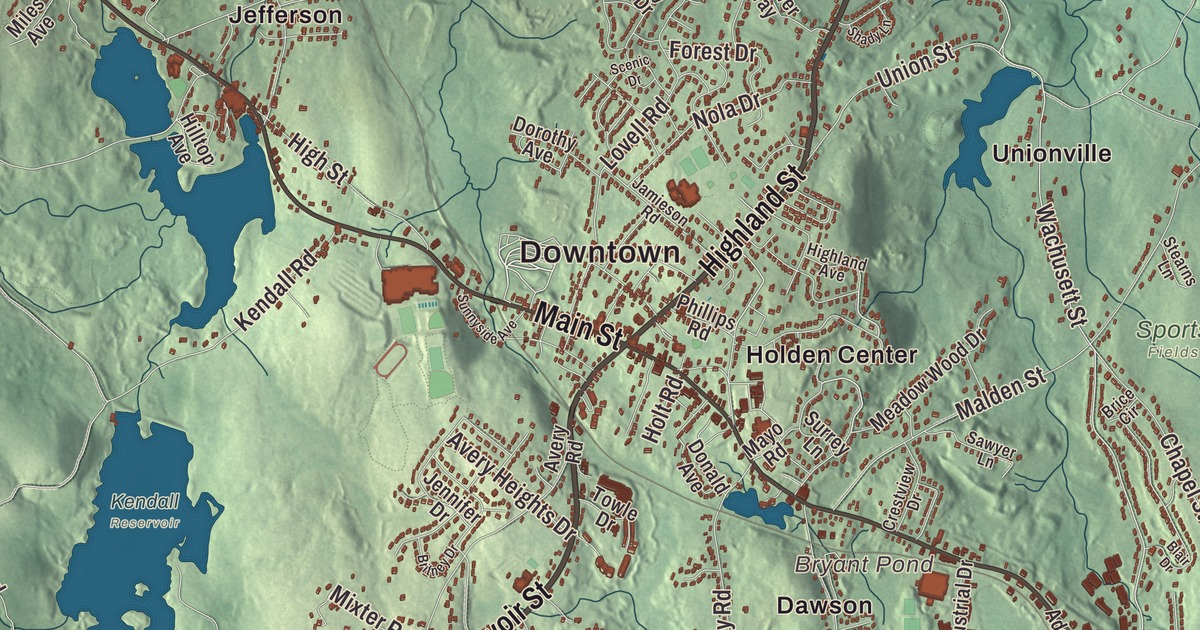
Holden is hills and reservoirs on the edge of Worcester, with the old center around the town hall and the common, and old mill villages like Jefferson out in the northwest. This map prints Main Street, Highland Street, Reservoir Street, Wachusett Street, Paxton Road and South Road, with the Quinapoxet Reservoir, Pine Hill Reservoir, Asnebumskit Hill and Christian Hill. Click here to purchase a print of this map for your wall.
Holden is in Worcester County.
KNOWOL made this map in 2026 from public survey data and gave it the look of an old atlas. United States Geological Survey elevation data shapes the hills, and the streets and the town line come from the Census Bureau. Holden covers 36.2 square miles with Rutland to the west, Princeton to the northwest and Worcester to the southeast, and it had 19,905 people at the 2020 census. The town page describes a landscape of hills and rivers, the Quinapoxet among them.
Named for a London banker
The Town of Holden’s recorded history, in the Secretary of the Commonwealth’s list, dates European settlement to 1723. Holden was incorporated as a town in 1741, and the town page says it was founded on All Hallow’s Eve. It was named for Samuel Holden, a London merchant who was a director and later governor of the Bank of England, and whose bequest also helped build Holden Chapel at Harvard College. The town remains part of Worcester County today.
The Rogers House, a small Cape-style house built sometime before 1733, may be the oldest building in town. The Holden Center Historic District gathers the 1836 town hall, the First Congregational Church of 1789, the First Baptist Church of 1835, the Old Post Office of 1880 and the Old Burying Ground of 1759, and in 1995 it was enlarged to take in the houses of the village. The public library first opened in 1888.
Mills, water and a laboratory
In northwestern Holden, the Eagleville Historic District keeps a mill village that’s now part of Jefferson. Its dam and mill complex were built around 1850 and altered into the early 1900s, and tracts of mill worker housing survive. The district was listed on the National Register in 2010.
The Alden Research Laboratory began in 1894 as Worcester Polytechnic Institute’s hydraulic testing lab, on the site of an old woolen mill in Holden given by Stephen Salisbury III. Its page calls it the oldest continuously operating hydraulic laboratory in the United States. In 1911 the lab put up a steel rotating boom over one of its ponds to test current meters and, later, airplane propellers, and the American Society of Mechanical Engineers has named that boom a historic landmark. The Quinapoxet River takes its name from Nipmuc words for “at the place of the little long pond” or “the long swamp,” and the Quinapoxet Dam in Holden holds back the Quinapoxet Reservoir, part of Worcester’s drinking water supply. The town also owns more than 600 acres as the Trout Brook Conservation Area.
Holden is home to Wachusett Regional High School, which opened in 1955 and serves Holden, Paxton, Princeton, Rutland and Sterling. The school’s page calls it the first regional high school in Massachusetts. The novelist Matthew Quick, who wrote The Silver Linings Playbook, is among Holden’s notable people.
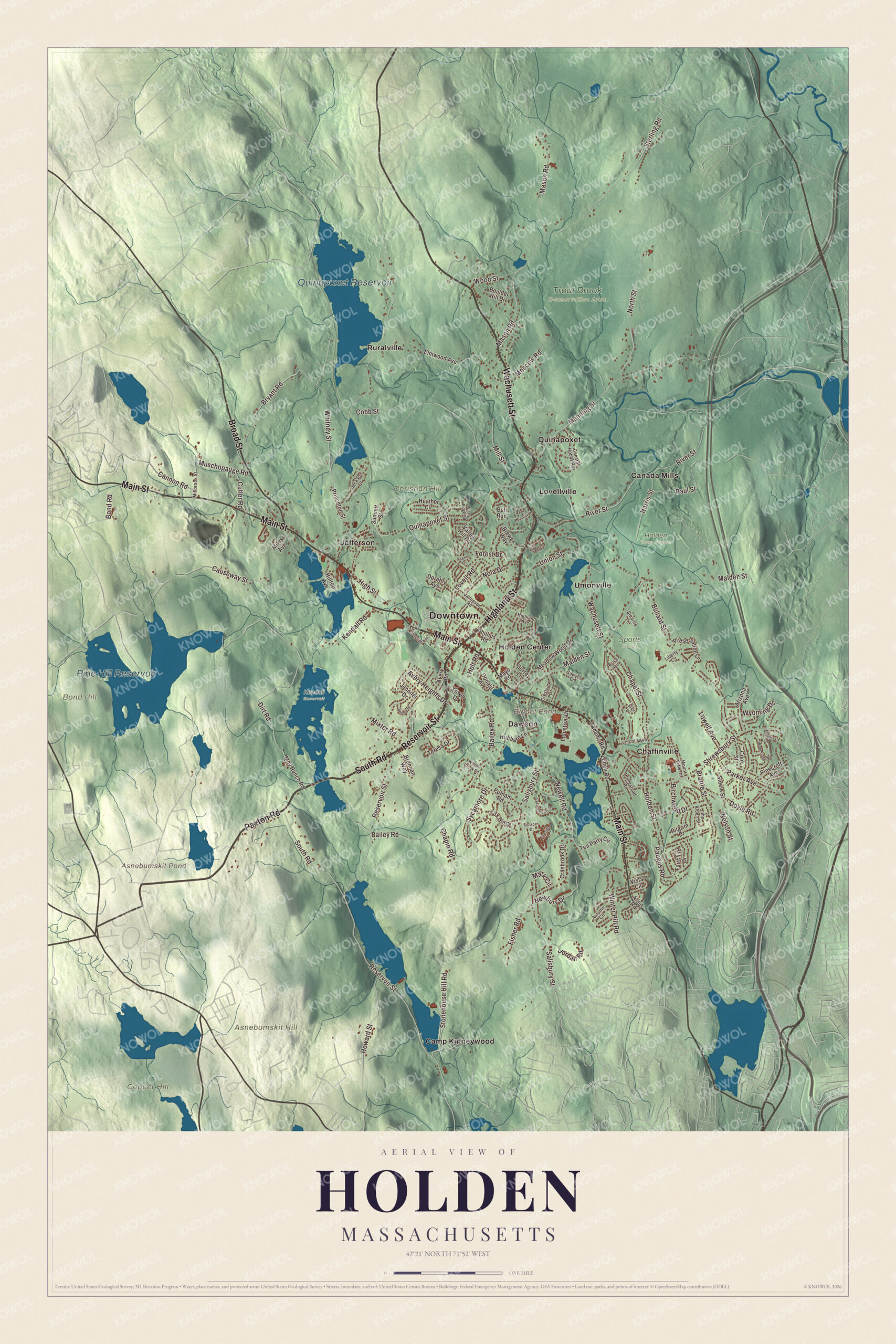
Click to explore a larger preview. The digital watermark does not appear on printed maps.
Names on this map
These names are printed on this map.
Places: Downtown, Asnebumskit Hill, Bond Hill, Christian Hill, Cooper Hill, Asnebumskit Pond, Bryant Pond, Pine Hill Reservoir, Quinapoxet Reservoir, Holden Town Forest, Kendall Reservoir, Sports Fields, Trout Brook Conservation Area, Camp Kinneywood, Canada Mills, Chaffinville, Dawson, Holden Center, Jefferson, Lovellville, Quinapoxet, Ruralville and Unionville.
Streets and roads: Highland Street, Reservoir Street, South Road, Paxton Road, Wachusett Street, Main Street, Broad Street, Salisbury Street, Malden Street, Bullard Street, Mason Road, Bailey Road.
More street names, A to Z
Adams Road, Allen Road, Arizona Avenue, Autumn Circle, Avery Heights Drive, Avery Road, Birchwood Drive, Blair Drive, Bond Road, Boulder Hill Drive, Brattle Street, Brennan Way, Brewer Way, Brice Circle, Britney Drive, Bryant Road, Bull Run, Cannon Road, Causeway Street, Chapel Street, Chapin Road, Cobb Street, Cook Street, Cranbrook Drive, Crestview Drive, Cutler Road, Dirt Road, Donald Avenue, Dorothy Avenue, Doyle Road, Elmwood Avenue, Fairchild Drive, Fireside Lane, Fisher Road, Forest Drive, Fort Sumter Drive, Fox Hill Drive, General Hobbs Road, Harris Street, Heather Circle, Highland Avenue, High Street, Hilltop Avenue, Holden Street, Holt Road, Homestead Road, Howard Street, Hubbard Lane, Industrial Drive, Jackson Street, Jamieson Road, Jennifer Drive, John Alden Street, Jordan Road, Juniper Lane, Kendall Road, Lexington Circle, Liberty Circle, Lincoln Avenue, Lovell Road, Lowell Avenue, Manning Street, Mark Circle, Mayo Road, Meadow Wood Drive, Miles Avenue, Millbrook Street, Mill Street, Mixter Road, Moscow Road, Mount View Drive, Moy Ranch Road, Muschopauge Road, Nelson Street, Newbury Drive, Newell Road, Nola Drive, North Street, Parker Avenue, Paugus Road, Paul Street, Phillips Road, Pilgrim Drive, Pinecroft Avenue, Preservation Lane, Princeton Street, Putnam Road, Quinapoxet Street, River Street, Sawyer Lane, Scenic Drive, Seasons Drive, Shady Lane, Shrewsbury Street, Stearns Lane, Steele Street, Sterling Road, Stonehouse Hill Road, Summit Street, Sunnyside Avenue, Surrey Lane, Sycamore Drive, Tea Party Circle, Teresa Drive, Towle Drive, Union Street, Valley Hill Drive, Vista Circle, Whitney Street, Willow Brook Road, Windy Ridge Road, Winter Hill Road, Woodridge Road, Wood Street, Wyoming Drive, Zottoli Road.
See it on a wall
The Holden map as a framed print. Swipe for more.


Around the map
Start with Canada Mills. Follow Highland Street, Reservoir Street, South Road, Paxton Road, Wachusett Street and Main Street across town, then look outward toward Chaffinville, Dawson, Holden Center, Jefferson and Lovellville. Asnebumskit Pond, Bryant Pond, Pine Hill Reservoir, the Quinapoxet Reservoir, Asnebumskit Hill, Bond Hill and Christian Hill are all printed on the map, and every one of those names is right there on the artwork.
The Holden map makes a fine addition to an office, library or den, and it can help teach children the geography and history of a hill town of mills and reservoirs. It’s made for people who call Holden home, from Jefferson to Holden Center, and it shows the town as it looks today. Zoom in on the preview above to explore the details, then click here to get your copy of the Holden, Massachusetts map.

Sources
- Holden, Massachusetts, Wikipedia
- Samuel Holden, Wikipedia
- Rogers House (Holden, Massachusetts), Wikipedia
- Holden Center Historic District, Wikipedia
- Eagleville Historic District, Wikipedia
- Alden Research Laboratory, Wikipedia
- Quinapoxet River, Wikipedia
- Wachusett Regional High School, Wikipedia
- Matthew Quick, Wikipedia
- City and Town Incorporation and Settlement Dates, Secretary of the Commonwealth of Massachusetts (archived copy)