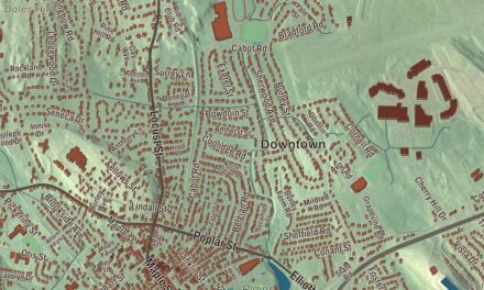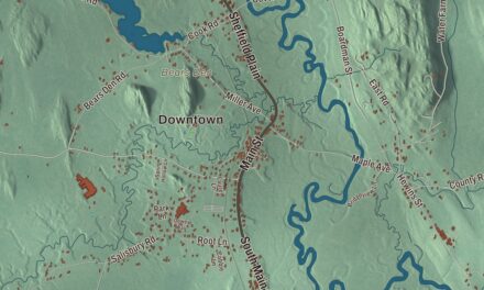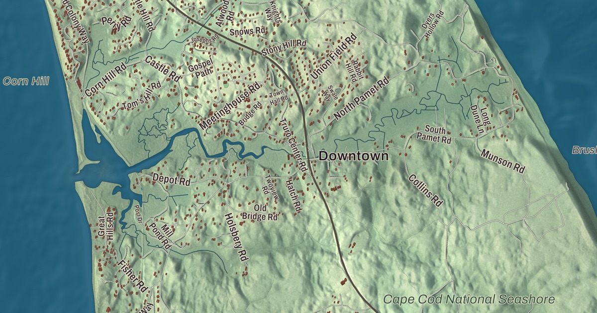
This aerial map of Truro, Massachusetts was created in 2026 using real geographic data to bring the town’s streets, buildings, neighborhoods, coastline, ponds and waterways, mountains and ridgelines, and terrain together in one highly detailed view. Look closer and you can pick out the familiar places that make Truro feel like home. Start with the street you know, then see how it connects to the rest of the Truro you call home. Click here to purchase a print of this map for your wall.
Explore an aerial view of Truro, Massachusetts
Start with Downtown and Beach Point. Follow Shore Road, Meetinghouse Road, Slough Pond Road, Quanset Road, Old Kings Highway, and Old County Road across town. Then look outward toward Pilgrim Heights, South Truro, and North Truro.
Great Pond, Gull Pond, Slough Pond, Higgins Pond, Corn Hill, Bound Brook Island, and Brush Valley are all labeled on the map. Every one of those names is printed directly on the artwork, giving you plenty to explore.
The Town of Truro’s recorded history dates European settlement to 1700. Truro was incorporated as a town in 1709. The town remains part of Barnstable County today. Click the image below to see the area as it looked in 2026.
Take a closer look at the Truro map
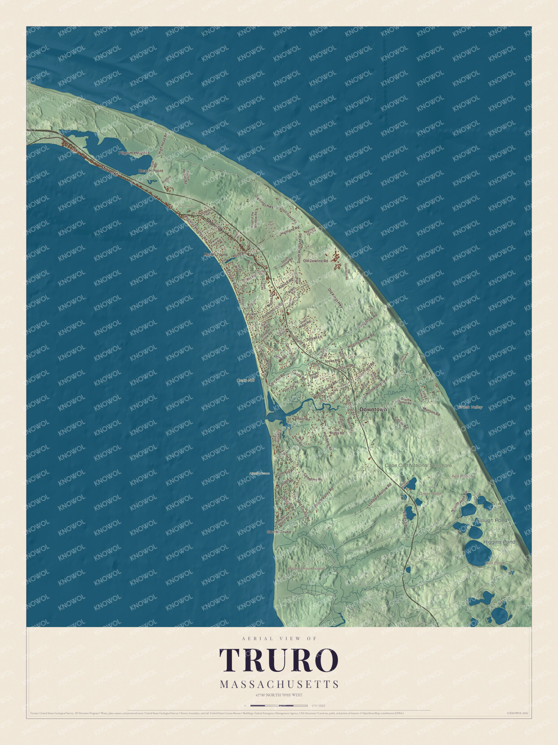
Click to explore a larger preview. The digital watermark does not appear on printed maps.
Names on this map
These names are printed on this map.
Places: Downtown, Beach Point, Pilgrim Heights, South Truro, Bound Brook Island, Brush Valley, Corn Hill, Fox Bottom, Great Pond, Gull Pond, Slough Pond, Higgins Pond, Atlantic Ocean, Cape Cod National Seashore, High Head and North Truro.
Streets and roads: Shore Road, Meetinghouse Road, Slough Pond Road, Quanset Road, Old Kings Highway, Old County Road, Collins Road, Long Nook Road, North Pamet Road, Prince Valley Road, Castle Road, South Highland Road.
More street names, A to Z
Alden Circle, Aldrich Road, Andrew Way, Arrowhead Road, Atwood Road, Avocet Road, Bayview Road, Bradford Street, Bridge Road, Cabral Farm Road, Castle Hill Road, Cemetery Road, Cliff Road, Coast Guard Road, Cooper Road, Cormorant Road, Corn Hill Road, Depot Road, Dyers Hollow Road, Elsies Road, Falcon Lane, Fisherman's Road, Fisher Road, Gospel Path, Great Hills Road, Great Hollow Road, Great Pond Road, Hart Road, Hatch Road, Head of the Meadow Road, Higgins Hollow Road, High Head Road, Highland Light Road, Highland Road, Holsbery Road, Hughes Road, Jobi Way, Josephs Road, Knights Way, Knowles Heights Road, Lauras Way, Lombard Hollow Road, Long Dune Lane, Mill Pond Road, Munson Road, Noons Drive, Old Bridge Road, Old Colony Way, Old Dewline Road, Old Outermost Road, Parker Drive, Perry Road, Pilgrim Heights Road, Pond Road, Post Drive, Priest Road, Quail Ridge Road, Rabbit Hill Road, Ryder Beach Road, Sand Pit Road, Sea Gull, Snows Road, South Hollow Road, South Pamet Road, Standish Way, Stephens Way, Stony Hill Road, Swale Way, Sylvan Lane, Tom's Hill Road, Town Hall Road, Truro Center Road, Twine Field Road, Twoview Road, Union Field Road, Whitmanville Road.
See it on a wall
The Truro map as a framed print. Swipe for more.


We designed the artwork at KNOWOL using Truro’s real streets, buildings, neighborhoods, coastline, ponds and waterways, mountains and ridgelines, and terrain, the town boundary, and the way buildings spread across the town. Then we chose the color, relief, lettering, and layout that make the map look great on the wall.
This beautifully detailed map of Truro makes an attractive addition to your office, library, or den and can even be used to teach children the geography and history of the area. When you’re done exploring, click here to get your copy of the Truro, Massachusetts map.