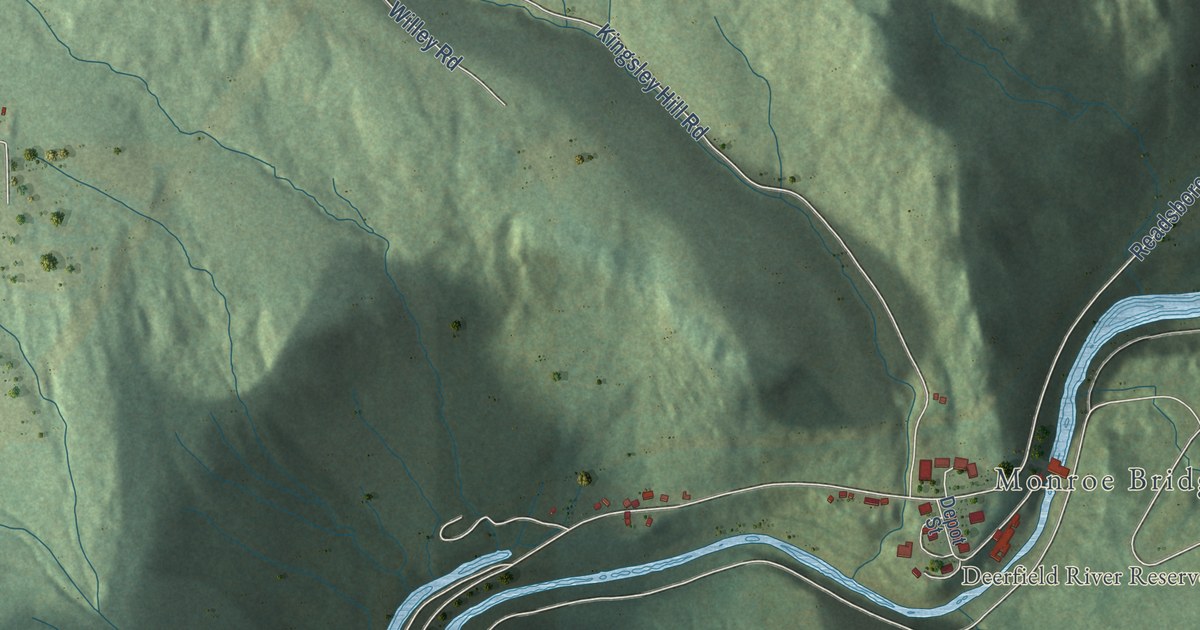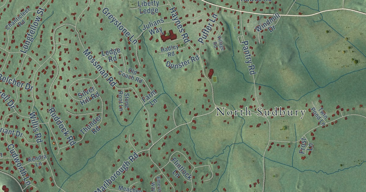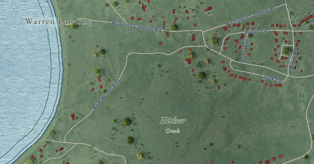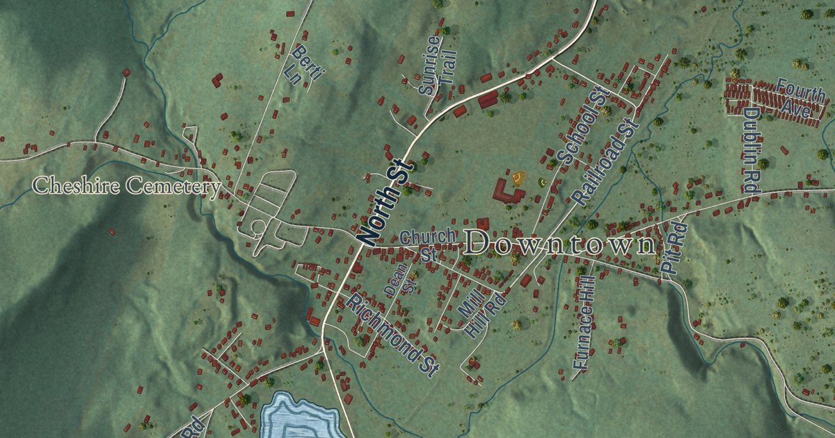
This beautifully detailed map of Cheshire, Massachusetts was created in 2026 using aerial imagery combined with modern topographical, census, street and landmark data. It’s a one-of-a-kind view of Cheshire that combines accurate data with a vintage aesthetic. The map shows every building in its true location, many of the roads carry their names, and the shaded topographic relief shows the shape of the land.
Explore an aerial view of Cheshire, Massachusetts
On the map you’ll find Downtown, Cheshire Harbor, Farnams, Cheshire Cemetery, Cheshire Harbor Hill, Cole Mountain, Hales Hill, Bassett Reservoir, Cheshire Reservoir, Gore Pond, Chalet Wildlife Management Area, Stafford Hill Wildlife Management Area, and more. If you look closely you can even find your house accurately drawn in its correct location. Zoom in on the preview to look for yours.
Did you know this piece of Cheshire, Massachusetts history?
Cheshire was the only Berkshire town to back Thomas Jefferson in 1800. When he won, the dairy town made him a giant cheese from every farmer’s curds. It weighed 1,235 pounds. Six horses pulled it on a sled, and Jefferson wrote a personal letter of thanks.
Take a closer look at the Cheshire map
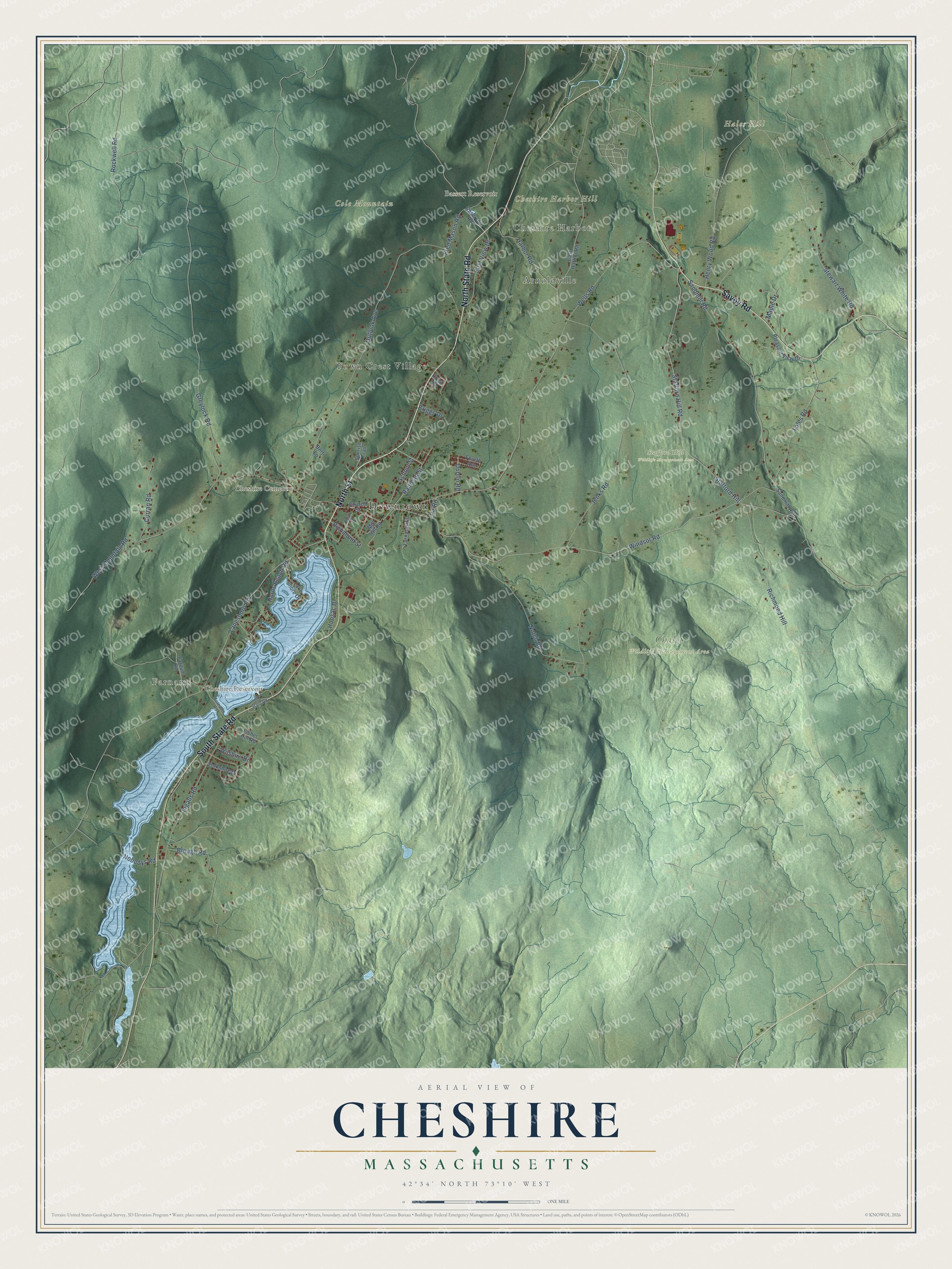
Click to explore a larger preview. The digital watermark does not appear on printed maps.
Street and place names on the Cheshire, Massachusetts map
These names are printed on the map of Cheshire, Massachusetts.
Places: Downtown, Cheshire Harbor, Farnams, Cheshire Cemetery, Cheshire Harbor Hill, Cole Mountain, Hales Hill, Bassett Reservoir, Cheshire Reservoir, Chalet Wildlife Management Area, Stafford Hill Wildlife Management Area, Town Crest Village and Arnoldville.
Streets and roads: North Street, North State Road, Savoy Road, South State Road, Railroad Street, Windsor Road, Lanesboro Road, Stewart White Road, Nobodys Road, Wells Road, West Mountain Road, Greylock Road.
More street names, A to Z
Berti Lane, Briggs Drive, Brough Road, Church Street, Crest Road, Curran Road, Dean Street, Dublin Road, East Harbor Road, East View Drive, Fales Road, Farnams Road, Farnum Road, Fisher Hill Road, Fourth Avenue, Fred Mason Road, Furnace Hill, Harbor Road, Henry Wood Road, Hoosac Drive, Horns Beach Road, Ingalls Road, Jenks Road, Lake Shore Drive, Maple Drive, Mill Hill Road, Notch Road, Old State Road, Outlook Avenue, Pit Road, Pleasant View Drive, Reservoir Road, Richmond Hill, Richmond Street, Rockwell Road, Sandmill Hill, Sandmill Road, School Street, Stafford Hill, Stafford Hill Road, Sunrise Trail, Wilshire Drive, Yorkshire Drive.
See the Cheshire, Massachusetts map on a wall
The Cheshire map as an 18 x 24 inch print in a black frame.

This beautifully detailed map of Cheshire makes an attractive addition to your office, library, or den, and it can even be used to teach children the geography and history of the area. It also makes a great gift for anyone with Cheshire roots. When you’re done exploring, click here to get your copy of the Cheshire map.