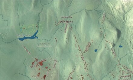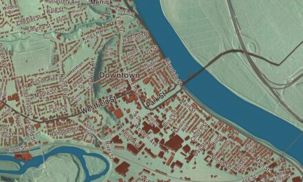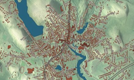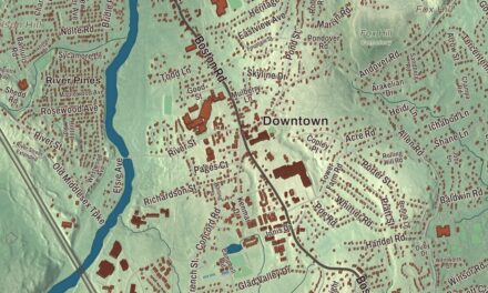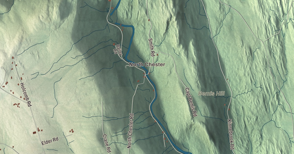
Chester is a river town in the hills, where two branches of the Westfield River run through and the old center sits up on the ridge between them. This map prints West Main Street, Main Street, Middlefield Road, Middlefield Street, Huntington Road and Prospect Road, with Littleville Lake, the West Branch Westfield River, the Middle Branch Westfield River, Round Hill Pond, Abbott Hill, Bemis Hill and Burton Hill. Click here to purchase a print of this map for your wall.
Chester is in Hampden County, 30 miles northwest of Springfield.
KNOWOL made this map in 2026 from public survey data and gave it the look of an old atlas. The relief comes from United States Geological Survey elevation data, and the roads and the town line come from the Census Bureau. Chester sits on the eastern edge of the Berkshires and forms the northwestern corner of Hampden County, covering 37.2 square miles with Huntington, Worthington, Middlefield, Becket and Blandford around it. The West Branch of the Westfield River runs through the west and south and through the village of Chester, while the Middle Branch flows through the north and east past North Chester and Dayville. The town had 1,228 people at the 2020 census.
Murrayfield becomes Chester
Most of what is now Chester and Huntington was sold at auction on June 2, 1762, as Plantation Number 9, to William Williams for £1,500. The Town of Chester’s recorded history, in the Secretary of the Commonwealth’s list, dates European settlement to 1760; the historic district’s page says the first settlers laid out the town center in 1763. Chester was incorporated as a town in 1765, on October 31, under the name Murrayfield. People kept confusing it with nearby Myrifield, also spelled Merryfield and now the town of Rowe, so the town asked the General Court to rename it Fairfield. The court chose Chester instead, and the change became law on February 21, 1783. The town remains part of Hampden County today.
Two villages
Chester Center, on high ground along Skyline Trail between the two river branches, was the heart of the farming town until railroads were built in other parts of town in the 1840s. It keeps the 1840 First Congregational Church, the Chester Burying Ground with a first burial in 1769, the 1769 house of the Rev. Aaron Bascomb, the first settled minister, and a district schoolhouse of 1798 that’s one of the oldest in Massachusetts.
Down on the West Branch, Chester Factories took its name from the Chester Glass Factory, which ran through the War of 1812, and used the river’s water power for grist mills and sawmills. A turnpike, now U.S. Route 20, reached the area in 1804, and when the Western Railroad, later the Boston and Albany, opened to Chester on May 24, 1841, it bypassed the old center in favor of the factory village, which became an important stop for supplying trains. The town hall and library were built there, and from 1879 to 1915 the village grew fastest, on abrasives and on granite quarrying and cutting. Fay’s Clothing Store, three stories built in 1896, is still its tallest building.
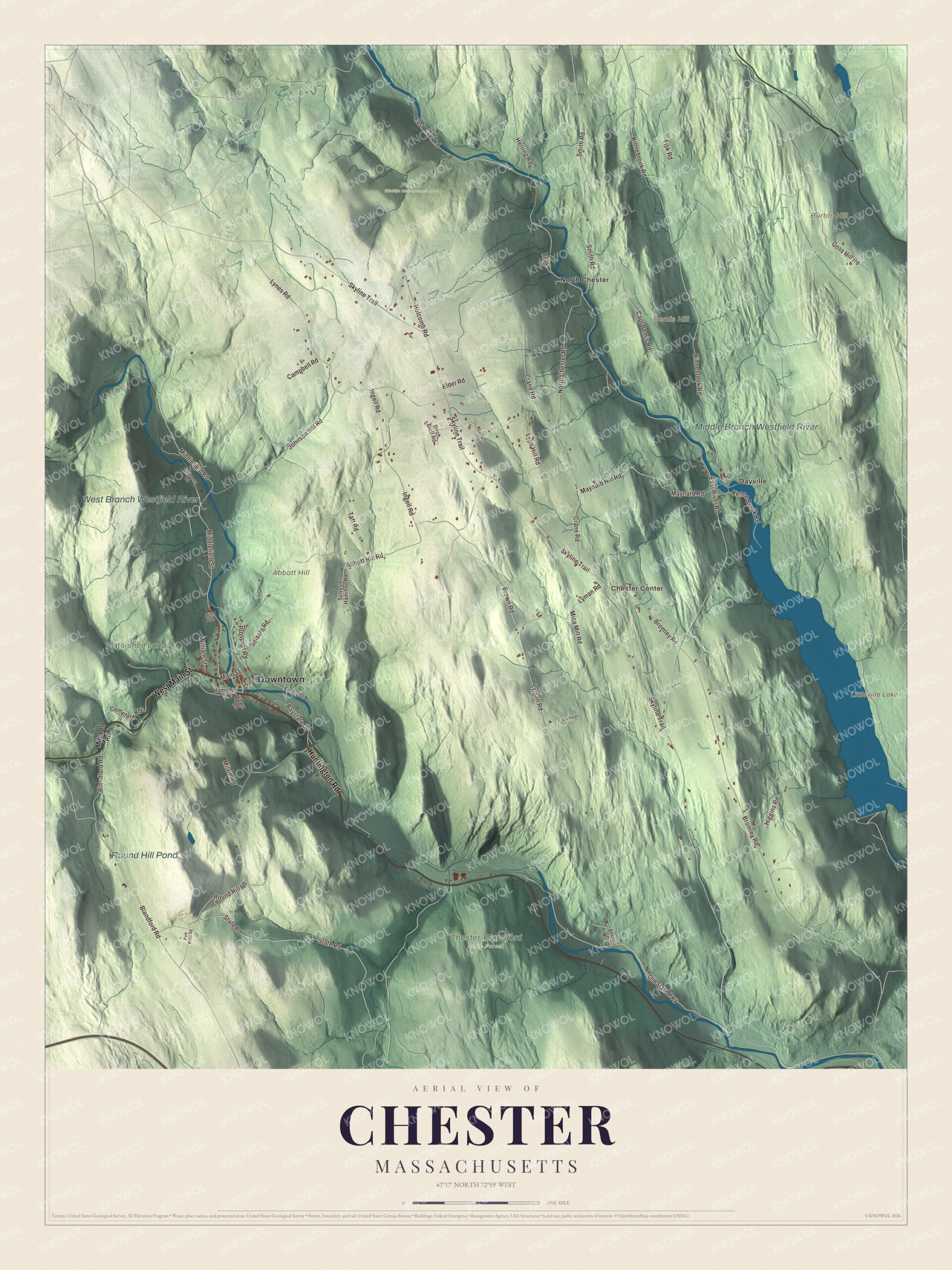
Click to explore a larger preview. The digital watermark does not appear on printed maps.
Names on this map
These names are printed on this map.
Places: Downtown, North Chester, Dayville, Chester Center, Abbott Hill, Bemis Hill, Burton Hill, Littleville Lake, West Branch Westfield River, Middle Branch Westfield River, Round Hill Pond, Chester-Blandford State Forest, Fox Den Wildlife Management Area and Watershed Land.
Streets and roads: West Main Street, Huntington Road, Middlefield Road, Middlefield Street, Main Street, Prospect Road, Skyline Trail, Fisk Road, Blandford Road, Smith Road, East River Road, Bromley Road.
More street names, A to Z
Abbott Hill Road, Allman Drive, Bailey Road, Baystate Drive, Birch Bluff Road, Brown Road, Campbell Road, Capt Bemis Road, Cemetery Road, Crane Road, Eastern Vw, Ed Lebeau Road, Elder Road, Emery Street, Goss Hill Road, Hampden Street, Herring Road, Higgins Road, Holcomb Road, Ingell Road, Johnson Hill Road, Kenne Brook Road, Kinnebrook Road, Lyman Road, Lynes Road, Lyon Hill Road, Maynard Hill Road, Maynard Road, Mica Mill Road, Milvin Road, Mitchell Road, North Chester Road, Old State Highway, Olin Avenue, Park Knox Road, Round Hill Road, Soisalo Road, Sovereign Road, State Road, Sylvester Hamilton Road, Taft Road, Town Road, William Street.
See it on a wall
The Chester map as a framed print. Swipe for more.


Hottest and coldest
Chester holds a rare double record. On August 2, 1975, the temperature here reached 107 degrees, still the hottest ever recorded in Massachusetts, matched the same day in New Bedford. On January 12, 1981, it fell to 35 below zero, the coldest ever recorded in the state. That makes Chester one of only three places in the United States to hold both of its state’s extreme temperatures. The town is also home to the Chester Theatre Company, a professional summer theater founded in 1990 that plays in the town hall.
Around the map
Start in North Chester, then follow West Main Street, Huntington Road, Middlefield Road, Middlefield Street, Main Street and Prospect Road across town, and look outward toward Dayville and Chester Center. U.S. Route 20 follows the West Branch from the southeast corner to Chester village, then turns west up the valley of Walker Brook toward Becket. Littleville Lake, mostly in Chester and partly in Huntington, was made by the Army Corps of Engineers when it dammed the Middle Branch to control flooding. The branches join downstream in Huntington, and the Westfield River goes on to become the Connecticut River’s longest tributary in Massachusetts, known for its whitewater and native trout. The Chester-Blandford State Forest, set up in 1924, has the 60-foot cascade of Sanderson Brook Falls. Littleville Lake, the West Branch Westfield River, the Middle Branch Westfield River, Round Hill Pond, Abbott Hill, Bemis Hill and Burton Hill are all printed on the map.
Chester’s map makes a fine addition to an office, library or den, and it can help teach children the geography and history of a hill town on the Westfield River. It’s made for people who call Chester home, from North Chester to Chester Center, and it shows the town as it looks today. Zoom in on the preview above to explore the details, then click here to get your copy of the Chester, Massachusetts map.

Sources
- Chester, Massachusetts, Wikipedia
- Chester Center Historic District, Wikipedia
- Chester Factory Village Historic District, Wikipedia
- Chester Theatre Company, Wikipedia
- Littleville Lake (Massachusetts), Wikipedia
- Westfield River, Wikipedia
- Chester-Blandford State Forest, Wikipedia
- City and Town Incorporation and Settlement Dates, Secretary of the Commonwealth of Massachusetts (archived copy)