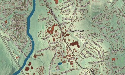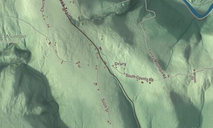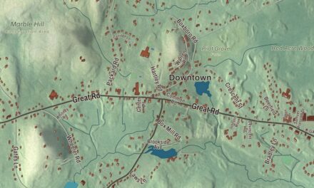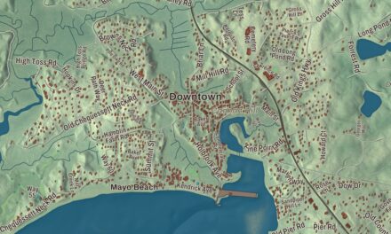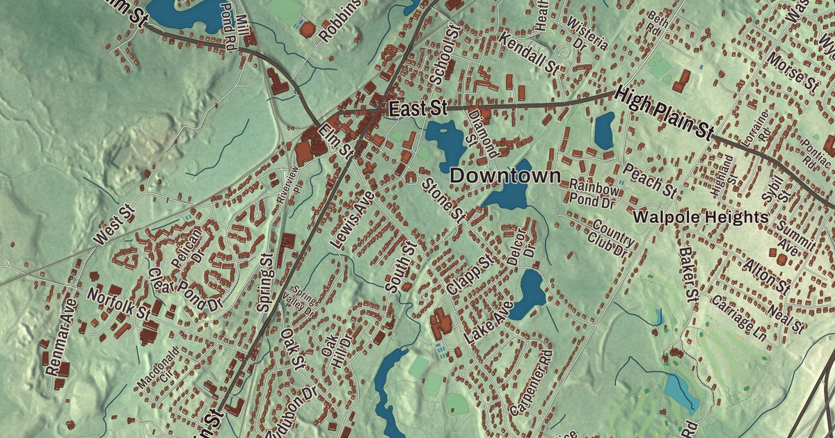
This aerial map of Walpole, Massachusetts was created in 2026 using real geographic data to bring the town’s streets, buildings, neighborhoods, ponds and waterways, mountains and ridgelines, and terrain together in one highly detailed view. Look closer and you can pick out the familiar places that make Walpole feel like home. Start with the street you know, then see how it connects to the rest of the Walpole you call home. Click here to purchase a print of this map for your wall.
Explore an aerial view of Walpole, Massachusetts
Start with Downtown and South Walpole. Follow High Plain Street, East Street, Boston-Providence Turnpike, Elm Street, Main Street, and Providence Highway across town. Then look outward toward Campbells Station, Cedar, Cedar Hill, East Walpole, and Plimptonville.
Bird Pond, Willett Pond, Turner Pond, Barefoot Hill, Bluff Hill, Crackrock, Childs Island, and Carpenter Pond are all labeled on the map. Every one of those names is printed directly on the artwork, giving you plenty to explore.
The Town of Walpole’s recorded history dates European settlement to 1659. Walpole was incorporated as a town in 1724. The town remains part of Norfolk County today. Click the image below to see the area as it looked in 2026.
Take a closer look at the Walpole map
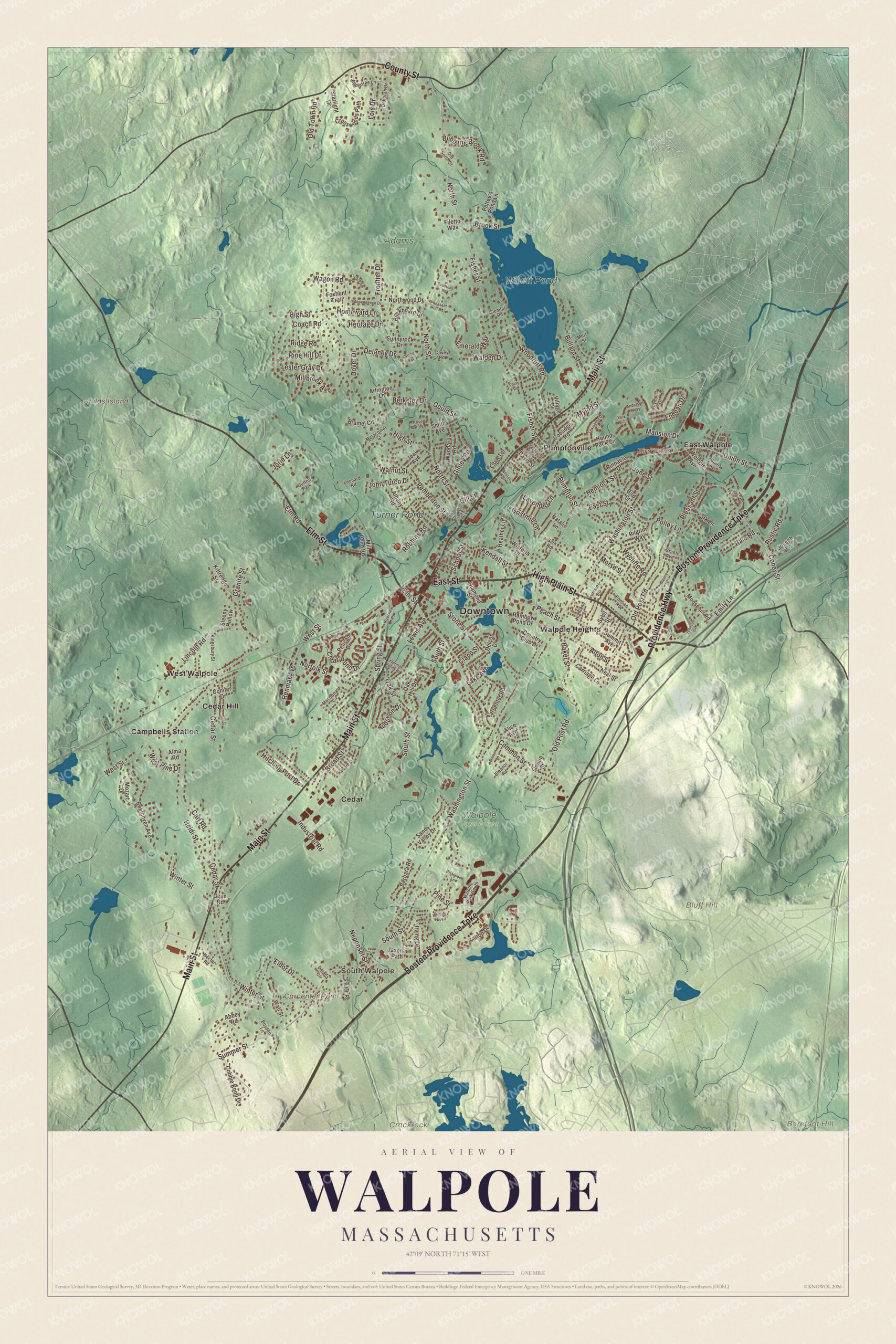
Click to explore a larger preview. The digital watermark does not appear on printed maps.
Names on this map
These names are printed on this map.
Places: Downtown, South Walpole, Barefoot Hill, Bluff Hill, Childs Island, Crackrock, Bird Pond, Carpenter Pond, Willett Pond, Turner Pond, Adams Farm, Walpole Town Forest, Campbells Station, Cedar, Cedar Hill, East Walpole, Plimptonville, Walpole Heights, West Walpole and Dutton Park.
Streets and roads: High Plain Street, East Street, Boston-Providence Turnpike, Elm Street, Main Street, Providence Highway, County Street, Coney Street, Union Street, West Street, Washington Street, North Street.
More street names, A to Z
Abbey Road, Albany Road, Alice Avenue, Allston Drive, Alma Road, Alton Street, Anderson Way, Appletree Lane, Arlington Lane, Audubon Drive, Baker Street, Barbara Road, Beethoven Avenue, Berkeley Drive, Beth Road, Birch Street, Bird Street, Boyden Lane, Bramel Circle, Briarwood Lane, Bridle Path, Broad Street, Brook Street, Bubbling Brook Road, Buckboard Drive, Bullard Street, Burns Avenue, Carl Road, Carpenter Road, Carriage Lane, Cedar Street, Clapp Street, Clear Pond Drive, Coach Road, Cobble Knoll Drive, Cobb Terrace, Common Street, Conifer Drive, Coolidge Road, Country Club Drive, Courtney Road, Covey Road, Crosswoods Path, Darwin Lane, Davis Street, Deborah Drive, Delaney Drive, Delapa Circle, Delcor Drive, Diamond Street, Dover Drive, Eldor Drive, Eleanor Road, Elm Road, Emerald Way, Emily Lane, Endean Drive, Federal Street, Filetto Way, Fisher Street, Flonun Street, Foxhunt Trail, Frontier Drive, Gill Street, Ginley Road, Glendale Road, Gould Street, Granite Street, Grant Avenue, Gristmill Lane, Hale Road, Harvard Street, Heather Lane, Heidi Street, Hemlock Street, Heritage Drive, Highland Street, High Street, Hilltop Drive, Hitching Post Drive, Homeward Lane, Hound Pack Circle, Independence Drive, Industrial Road, Irving Drive, Jason's Path, Jean Road, Joal Avenue, Johnson Drive, John Turco Drive, Jorie Lane, Joseph Lane, June Street, Kendall Street, Killeen Road, Kingsbury Street, Kittredge Street, Lake Avenue, Lavender Lane, Leonard Road, Lester Gray Drive, Lewis Avenue, Lexington Drive, Lincoln Road, Lois Drive, Lorraine Road, Macdonald Circle, Mansion Drive, Mert Street, Metacomet Street, Millbrook Avenue, Mill Pond Road, Moosehill Road, Morse Street, Mozart Drive, Mylod Street, Natalie Lane, Neal Street, Nectar Road, Neponset Street, Norfolk Street, Northwood Drive, Oak Hill Drive, Oak Street, Old North Street, Old Post Road, Old Town Road, Olympic Court, Park Lane, Peach Street, Pelican Drive, Pemberton Street, Pettee's Pond Lane, Pheasant Hill Road, Philip Road, Pilgrim Way, Pine Hill Drive, Pine Street, Pinnacle Drive, Pleasant Street, Plimpton Street, Polley Lane, Pontiac Road, Rainbow Pond Drive, Renmar Avenue, Ridge Road, Riverview Place, Robbins Road, Rose Marie Lane, Rustic Road, Saddle Way, Sandy Valley Drive, School Street, Shufelt Road, Sleepy Hollow, Smith Avenue, South Street, Spear Avenue, Spring Street, Spring Valley Drive, Squire Court, Starlight Drive, Stone Street, Summer Street, Summit Avenue, Sunnyrock Drive, Sybil Street, Village Drive, Wagon Road, Walden Drive, Wall Street, Walnut Street, Walpole Park South, West Pine Drive, Whiting Avenue, Winter Street, Wisteria Drive, Wolcott Avenue, Woodard Road, Woodruff Road, Wycliffe Road, York Circle.
See it on a wall
The Walpole map as a framed print. Swipe for more.


We designed the artwork at KNOWOL using Walpole’s real streets, buildings, neighborhoods, ponds and waterways, mountains and ridgelines, and terrain, the town boundary, and the way buildings spread across the town. Then we chose the color, relief, lettering, and layout that make the map look great on the wall.
This beautifully detailed map of Walpole makes an attractive addition to your office, library, or den and can even be used to teach children the geography and history of the area. When you’re done exploring, click here to get your copy of the Walpole, Massachusetts map.