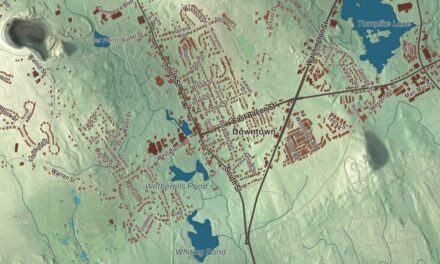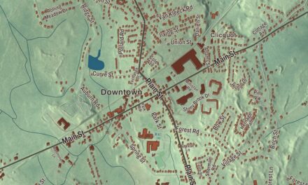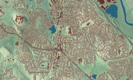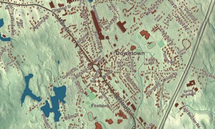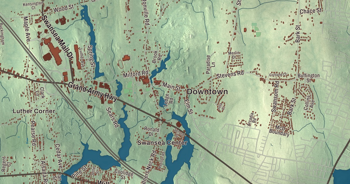
This aerial map of Swansea, Massachusetts was created in 2026 using real geographic data to bring the town’s streets, buildings, neighborhoods, coastline, ponds and waterways, and terrain together in one highly detailed view. Look closer and you can pick out the familiar places that make Swansea feel like home. Start with the street you know, then see how it connects to the rest of the Swansea you call home. Click here to purchase a print of this map for your wall.
Explore an aerial view of Swansea, Massachusetts
Start with Downtown and Barneyville. Follow Wilbur Avenue, Oak Street, Grand Army Highway, Swansea Mall Drive, Market Street, and Hortonville Road across town. Then look outward toward Hortonville, Luther Corner, Monroes, Ocean Grove, and South Swansea.
Bay Point, Cole River Pond, Warren Reservoir, Brickyard Pond, Crab Island, and Firestone Pond are all labeled on the map. Every one of those names is printed directly on the artwork, giving you plenty to explore.
The Town of Swansea’s recorded history dates European settlement to 1667. Swansea was incorporated as a town that same year. The town remains part of Bristol County today. Click the image below to see the area as it looked in 2026.
Take a closer look at the Swansea map
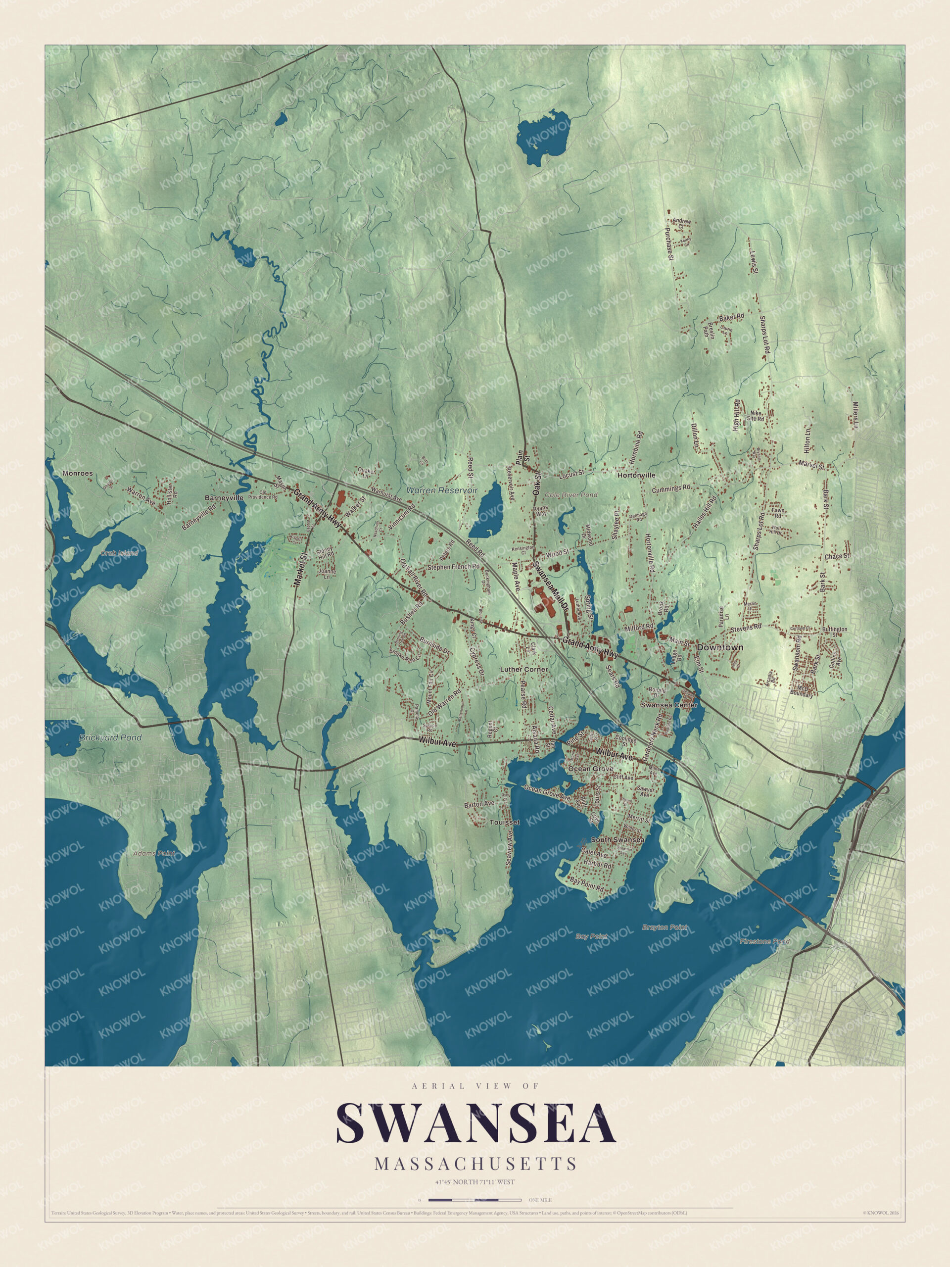
Click to explore a larger preview. The digital watermark does not appear on printed maps.
Names on this map
These names are printed on this map.
Places: Downtown, Adams Point, Bay Point, Brayton Point, Crab Island, Cole River Pond, Firestone Pond, Warren Reservoir, Brickyard Pond, Barneyville, Hortonville, Luther Corner, Monroes, Ocean Grove, South Swansea, Swansea Center and Touisset.
Streets and roads: Wilbur Avenue, Oak Street, Grand Army Highway, Swansea Mall Drive, Market Street, Hortonville Road, Locust Street, Main Street, Elm Street, Gardners Neck Road, Stevens Road, Millers Lane.
More street names, A to Z
Alsada Road, Andrew Court, Arcadia Road, Baker Road, Baptist Street, Bark Street, Barneyville Road, Barton Avenue, Bay Point Road, Bettencourt Lane, Bluff Avenue, Boule Street, Breslin Path, Brito Circle, Brook Road, Bryants Way, Buckingham Drive, Buffington Street, Burning Tree Road, Burnside Drive, Bushee Road, Calef Avenue, Cedar Avenue, Chace Street, Church Street, Clark Lane, Cliff Avenue, Collins Avenue, Coolidge Street, Cortland Court, Cove Street, Cummings Road, Cypress Drive, Delmage Road, Dillon Lane, Dyer Street, Fawn Road, George Street, Hailes Hill Road, Harbor Road, High Hill Road, Hilton Lane, Hollister Road, Hornbine Road, Ian Street, Jette Street, Joanne Lane, Julia Court, Keiths Circle, Kensington Court, Kings Court, Kispert Court, Laurie Lane, Ledge Road, Lewis Street, Louis Street, Luther Avenue, Madison Road, Maple Avenue, Marvel Street, Mason Street, McD Boundary, Merlin Drive, Merritt Street, Midwood Drive, Milford Road, Milne Avenue, Morin Avenue, Mount Fair Circle, Neadham Court, Nike Site Road, Ocean Grove Avenue, Old Fall River Road, Old Providence Road, Old Warren Road, Pamela Drive, Paradise Lane, Pearse Road, Peters Road, Pine Street, Plain Street, Purchase Street, Quaker Lane, Reed Road, Reed Street, Regent Court, Reservoir Avenue, Ronald Drive, Ryans Way, Sawyer Avenue, Sears Road, Seaview Avenue, Second Street, Sharps Lot Road, Shawmut Avenue, Shaylee Place, Smoke Rise Circle, Spring Street, Spruce Road, Stephen French Road, Stoney Hill Road, Swansom Road, Vinnicum Road, Walker Street, Warhurst Avenue, Warren Avenue, Wilder Street, Wolf Hill Drive, Wood Street.
See it on a wall
The Swansea map as a framed print. Swipe for more.


We designed the artwork at KNOWOL using Swansea’s real streets, buildings, neighborhoods, coastline, ponds and waterways, and terrain, the town boundary, and the way buildings spread across the town. Then we chose the color, relief, lettering, and layout that make the map look great on the wall.
This beautifully detailed map of Swansea makes an attractive addition to your office, library, or den and can even be used to teach children the geography and history of the area. When you’re done exploring, click here to get your copy of the Swansea, Massachusetts map.