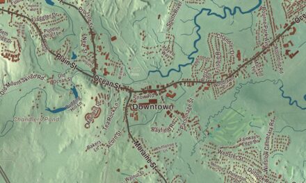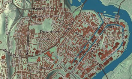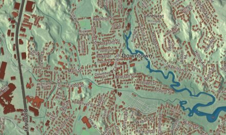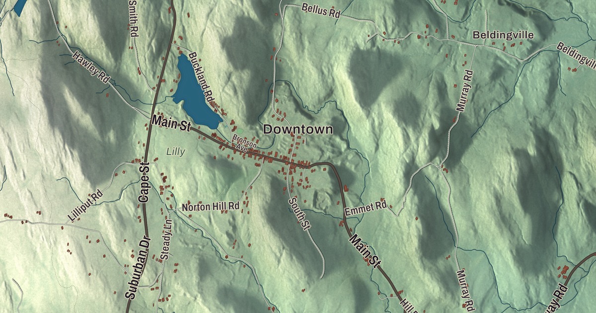
Ashfield sits in the eastern foothills of the Berkshires, a hill town where every service, from the town hall to the post office and the Belding Memorial Library, is in the town center. This map prints Main Street, Cape Street, Conway Road, Plainfield Road, Ashfield Mountain Road and Suburban Drive, along with Upper Highland Lake, City Pond, Ashfield Pond, Bassett Meadow, Bear Mountain, Abbott Hill and Badger Hill. Click here to purchase a print of this map for your wall.
Ashfield is in Franklin County, in its southwest corner along the Hampshire County line.
KNOWOL made this map in 2026 from public survey data and gave it the look of an old atlas. The shaded terrain comes from United States Geological Survey elevation data, and it covers a town of several high hills, Ridge Hill among them in the north, drained by the South River, the western Swift River and brooks bound for the Deerfield and Connecticut rivers. The roads and the town line come from the Census Bureau. Ashfield had 1,695 people at the 2020 census.
Huntstown
The land was first granted to sixty men who had served under Captain Ephraim Hunt on the 1690 expedition to Canada, as payment for their hardships, and the town was first called Huntstown for him. The town page says the first settler, before 1743, was a formerly enslaved man named Heber, who had bought rights and drawn lot number one in 1739; it names Richard Ellis, an Irish immigrant from Easton, as the founder of the first permanent settlement in 1745. The Town of Ashfield’s recorded history dates European settlement to 1743 in the state’s list. Ashfield was incorporated as a town in 1765, and it took its new name then. People still debate where the name came from: the ash trees here, or Governor Bernard’s friends in Ashfield, England. The town remains part of Franklin County today.
Ashfield has mostly farmed, with a small peppermint industry in the 1800s and some summer visitors around Ashfield Lake, near the center of town, which feeds the South River. A newspaper once called Ashfield famous for “its summer colony of learning and culture,” and two summer residents, Charles Eliot Norton and George William Curtis, helped form the Ashfield Library Association in 1866. In 1913 M. M. Belding, a New York silk manufacturer born in Ashfield, gave the town its library building, the Belding Memorial Library. The same newspaper wondered whether a farm town of under a thousand people could keep up a library with marble walls and bronze doors.
Born in Ashfield
Alvan Clark, born here in 1804, began as a portrait painter and engraver and took up telescope making at 40. His firm, Alvan Clark and Sons, ground the lenses for some of the largest refracting telescopes ever made, including the 40-inch at Yerkes Observatory, which its page calls the largest successful refracting telescope in the world, and craters on the Moon and Mars carry his name. William S. Clark, born in Ashfield too, became the third president of Massachusetts Agricultural College, now UMass Amherst, and in 1876 Japan hired him to found the Sapporo Agricultural College, now Hokkaido University. His parting words to his students, “Boys, be ambitious!”, became a well-known motto in Japan. Cecil B. DeMille, the film director, was born in Ashfield while his parents were vacationing here; his first film was the first full-length feature film shot in Hollywood. The psychologist G. Stanley Hall and the Howes Brothers, early photographers, are among Ashfield’s people as well. Click here to learn more about the history of Ashfield.
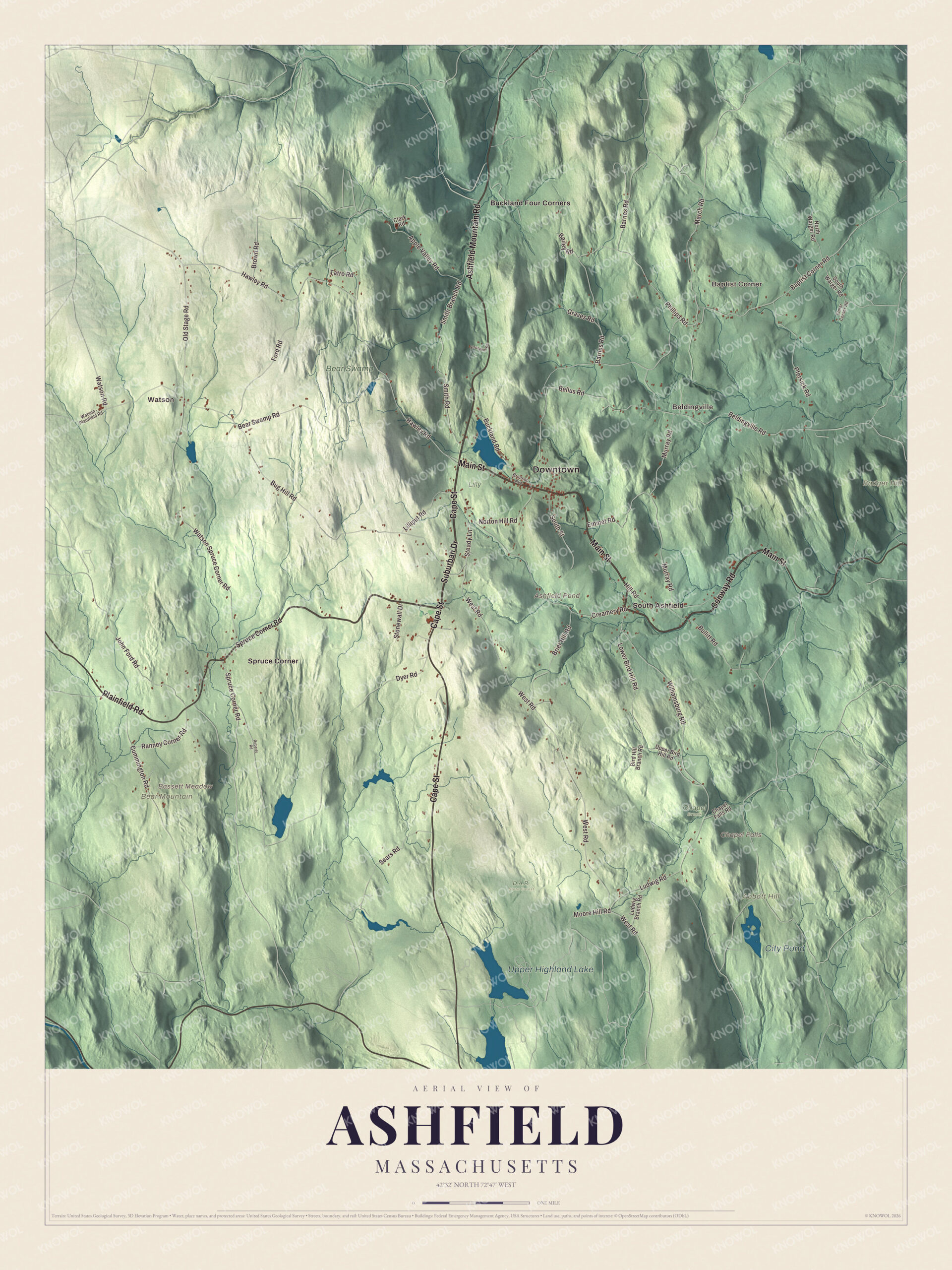
Click to explore a larger preview. The digital watermark does not appear on printed maps.
Names on this map
These names are printed on this map.
Places: Downtown, Baptist Corner, Watson, Beldingville, Abbott Hill, Badger Hill, Bassett Meadow, Bear Mountain, Ashfield Pond, Chapel Falls, Upper Highland Lake, City Pond, Bear Swamp, Chapel Brook, D.A.R. State Forest, Lilly, Buckland Four Corners, South Ashfield and Spruce Corner.
Streets and roads: Main Street, Cape Street, Suburban Drive, Conway Road, Ashfield Mountain Road, Plainfield Road, Spruce Corner Road, Baptist Corner Road, Hawley Road, West Road, Moore Hill Road, Lower Bird Hill Road.
More street names, A to Z
Apple Valley Road, Bailey Road, Barnes Road, Bear Swamp Road, Beldingville Road, Bellus Road, Bird Hill Branch Road, Brier Hill Road, Bronson Avenue, Brown Road, Buckland Road, Bug Hill Road, Bullitt Road, Chapel Falls Road, Clark Road, Creamery Road, Cummington Road, Dyer Road, Elmer Corner Road, Emmet Road, Ford Road, Graves Road, Hill Road, John Ford Road, Lilliput Road, Ludwig Branch Road, Ludwig Road, March Road, Murray Road, North Warger Road, Norton Hill Road, Old Stage Road, Pfersick Road, Phillips Road, Ranney Corner Road, Roberts Road, Sears Road, Smith Branch Road, Smith Road, South Street, South Warger Road, Steady Lane, Stonewall Drive, Stroheker Road, Tatro Road, Upper Bird Hill Road, Watson - Plainfield Road, Watson Road, Watson Spruce Corner Road, Williamsburg Road.
See it on a wall
The Ashfield map as a framed print. Swipe for more.


Hills, ponds and corners
Route 112 and Route 116 meet here and run together for 1.4 miles south of Ashfield Lake. Parts of the Poland Brook Wildlife Management Area and the Daughters of the American Revolution State Forest reach into the southwest corner of town. Upper Highland Lake, City Pond, Ashfield Pond, Bassett Meadow, Bear Mountain, Abbott Hill and Badger Hill are all printed on the map. Start with Baptist Corner, then follow Main Street, Cape Street, Suburban Drive, Conway Road, Ashfield Mountain Road or Plainfield Road across town, and look outward toward Watson, Beldingville, Buckland Four Corners, South Ashfield and Spruce Corner. Baptist Corner and Beldingville are the historic neighborhoods of the town’s northern section. Buckland lies to the north, Conway to the east, Goshen to the south, Cummington to the southwest, Plainfield to the west and Hawley to the northwest.
Give this Ashfield map a place in an office, library or den, and use it to teach children the geography and history of the hill town that sent a telescope maker, a college founder and a movie director out into the world. It’s made for people who call Ashfield home, from Baptist Corner to South Ashfield. KNOWOL created it in 2026, and it’s printed on museum quality archival paper. Zoom in on the preview above to explore the details, then click here to get your copy of the Ashfield, Massachusetts map.

Sources