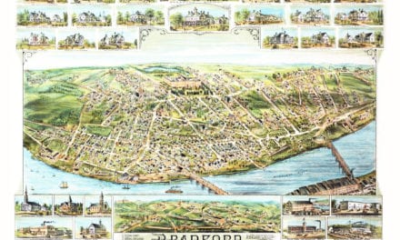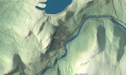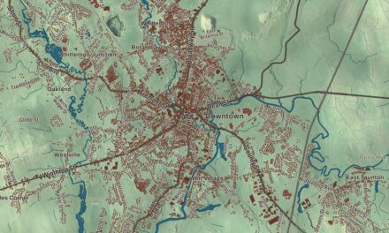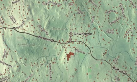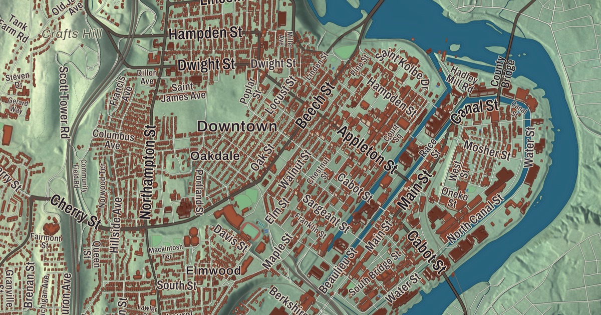
Holyoke runs from the canals and the Connecticut River up to the cliffs of Mount Tom. This map prints Main Street, Hampden Street, Lincoln Street, Cabot Street, Canal Street and Beech Street, with Mountain Park, Highland Park, Ashley Pond, McLean Reservoir and the Mount Tom State Reservation. Click here to purchase a print of this map for your wall.
Holyoke is in Hampden County.
KNOWOL made this map in 2026 from public survey data and gave it the look of an old atlas. The relief comes from United States Geological Survey elevation data, and the streets and the city line come from the Census Bureau. Holyoke covers 22.8 square miles between the west bank of the Connecticut River and the Mount Tom Range, about 8 miles north of Springfield. It borders Southampton, Westfield, Easthampton and West Springfield on land, and Hadley, South Hadley and Chicopee across the river. The city had 38,238 people at the 2020 census.
A city built around a dam
The Pocomtuc, sometimes called the Agawam or Nonotuck, lived here before the English came, though the records are incomplete. The City of Holyoke’s recorded history, in the Secretary of the Commonwealth’s list, dates European settlement to 1745; the city’s own page says colonists had settled the area by 1655, when it was part of Springfield. In 1786 it became the third parish of West Springfield, known as “Ireland Parish.” The name Hampden was considered, but the new town was named for Elizur Holyoke, son-in-law of Springfield’s founder William Pynchon, who had explored the area in the 1650s. After the Hadley Falls Company bought up land and began building, Holyoke was incorporated as a town in 1850, on March 14. It was incorporated as a city in 1873, only 23 years later, after its population had soared.
Holyoke is among the early planned industrial cities in the United States. Investors built the Holyoke Dam at Hadley Falls and dug a canal system, constructed between 1847 and 1892, that now runs 4.5 miles on three levels. The engineer Philander Anderson laid out the downtown as a grid, a novelty in New England. He named the north to south streets for trees, Beech Street among them, and the east to west streets for founders of the Hadley Falls Company, such as Cabot Street, and for Massachusetts counties, such as Hampden Street.
The Paper City
The city page says that in the late 1800s Holyoke made an estimated 80% of the writing paper used in the United States, and by 1885 it was the largest single producer of paper of any American city. More than 25 paper mills ran here at one point, and people still call Holyoke “The Paper City.” Inventions came out of the mills too. While managing the city’s testing flume in the 1880s, the hydraulic engineer Clemens Herschel invented the Venturi meter to measure how much water each mill used, the first accurate way to measure large flows. The dam and canals are recognized by the American Society of Mechanical Engineers as a Historic Mechanical Engineering Landmark for that work.
The Skinner family ran a silk business. Their house, Wistariahurst, stands at 238 Cabot Street on a block bounded by Cabot, Beech, Pine and Hampshire streets, named for the wisteria vines that spill across its east side, and it’s been a museum open to the public since 1959. After World War I, in relief work led by Belle Skinner, the city gave the French village of Apremont-la-Forêt a new waterworks, a public bath and a community center, and the village renamed its square Place d’Holyoke and its main street Rue Belle Skinner.
Where volleyball began
In 1895, William G. Morgan, the physical education director at the Holyoke YMCA, invented a less strenuous team game that suited the older members better than basketball. He called it “Mintonette,” after badminton, and it soon got a new name: volleyball. The International Volleyball Hall of Fame is in Holyoke, and Morgan was inducted as its first member in 1985. Holyoke also knows how to throw a parade. Its Saint Patrick’s Day parade began on March 16, 1952, drawing on the city’s Ireland Parish roots, and it usually draws around 400,000 spectators. The city page calls it the second-largest Saint Patrick’s Day parade in the United States, after New York City’s.
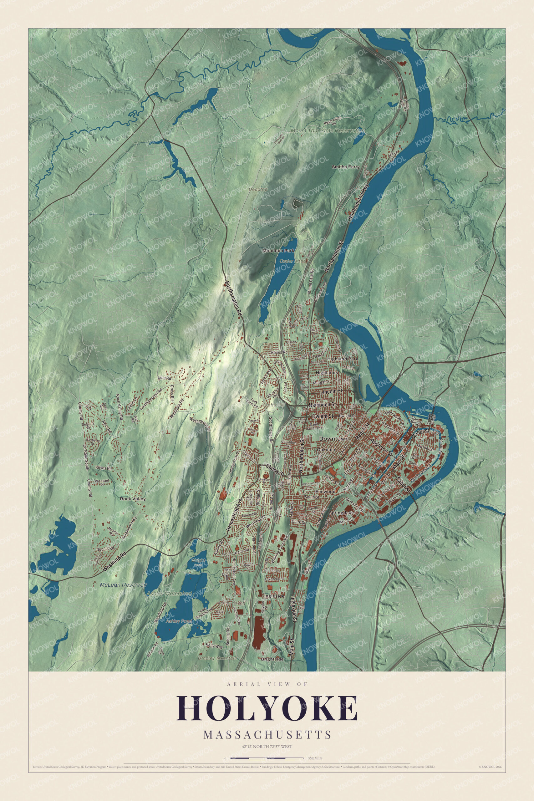
Click to explore a larger preview. The digital watermark does not appear on printed maps.
Names on this map
These names are printed on this map.
Places: Downtown, Brightside, Bradley Mountain, Cedar Knob, Crafts Hill, Deadtop, Ashley Cutoff, Ashley Pond, McLean Reservoir, Ashley Watershed, Mount Tom State Reservation, Wright Pond, Elmwood, Highland Park, Highlands, Ingleside, Mountain Park, Oakdale, Rock Valley, Smiths Ferry and Springdale.
Streets and roads: Main Street, Hampden Street, Lincoln Street, Cabot Street, Canal Street, Beech Street, Homestead Avenue, Easthampton Road, Dwight Street, Appleton Street, Northampton Street, Ingleside Street.
More street names, A to Z
Apremont Highway, Ashley Road, Bayberry Drive, Beaulieu Street, Bemis Road, Berkshire Street, Bobala Road, Bray Park Drive, Brenan Street, Brookwood Road, Brown Avenue, Carol Lane, Central Park Drive, Cherry Street, Chestnut Street, Christopher Clark Road, Claren Drive, Clark Street, Clayton Road, Columbus Avenue, Community Field Road, County Bridge, County Road, County Road South, Court Square, Cross Road, Dartmouth Street, Davis Street, Deer Run, Dicsal Lane, Dillon Avenue, Dupuis Road, Edward Drive, Elm Street, Elmwood Avenue, Evergreen Drive, Fairmont Street, Falardeau Road, Farnum Drive, Fir Lane, Francis Avenue, Franklin Street, Gary Drive, George Frost Drive, George Street, Gerard Way, Granville Street, Green Lane, Hadley Mill Road, Hillside Avenue, Hillview Road, Holyoke Street, Huron Avenue, Jarvis Avenue, Kane Road, Kelly Way, Keyes Road, Labrie Lane, Laura Lane, Laurel Street, Lawler Street, Linden Street, Line Road, Locust Street, Longfellow Road, Lower Westfield Road, Lynch Drive, Mackintosh Terrace, Maple Street, Martin Street, Michigan Avenue, Miller Avenue, Millville Road, Morgan Street, Mosher Street, Mountain Road, Mountain View Drive, Mount Park Road, Mount Tom Ski Road, Mueller Road, Northampton Highway, North Canal Street, Norwood Terrace, Oak Street, Old Ferry Road, Old Jarvis Avenue, Oneko Street, Oscar Street, Oxford Road, Pearl Street, Pheasant Drive, Pine Street, Pleasant Street, Poplar Street, Portland Street, Quarry Road, Queen Street, Race Street, Reservation Road, River Terrace, Rock Valley Road, Roland Street, Ross Road, Saint James Avenue, Saint Kolbe Drive, Sargeant Street, Scott Tower Road, Sequoia Drive, Smiths Ferry Road, Southampton Road, South Bridge Street, South Street, Steven Drive, Sun Valley Road, Tank Farm Road, Taylor Street, Temple Street, Tokeneke Road, Upland Road, Vermont Street, Wall Road, Walnut Street, Water Street, West Cherry Street, Westfield Road, West Street, Whiting Farms Road, Whitney Avenue, Woodland Street, Yale Street.
Around the map
Start with Brightside, then follow Main Street, Hampden Street, Lincoln Street, Cabot Street, Canal Street and Beech Street across the city. Look outward toward Elmwood, Highland Park, Highlands, Ingleside and Mountain Park. Elmwood is the city’s oldest neighborhood and was once called “Baptist Village”; Highland Park began as a streetcar suburb on the banks of the river, with a park designed by the Olmsted Brothers. Mountain Park started as a trolley park on the side of Mount Tom, where William Loomis built an open-air stage in 1894; it grew into an amusement park, and the old park’s grounds have since been used for outdoor concerts. Ashley Pond, McLean Reservoir, the Mount Tom State Reservation, Bradley Mountain, Cedar Knob and Crafts Hill are all printed on the map, and every one of those names is right there on the artwork. Ashley Pond is part of Ashley Reservoir, a water supply for the city since 1897, and McLean Reservoir is named for the water works commissioner Hugh McLean. Mount Tom rises to 1,202 feet, the highest traprock peak on the Metacomet Ridge, and the Metacomet-Monadnock Trail crosses the reservation.
The Holyoke map makes a fine addition to an office, library or den, and it can help teach children the geography and history of the city where volleyball was born. It’s made for people who call Holyoke home, from Elmwood to Highland Park, and it shows the city as it looks today. Zoom in on the preview above to explore the details, then click here to get your copy of the Holyoke, Massachusetts map.

We made a map for every town and city in Massachusetts. Explore the complete Massachusetts map collection and find your town.
Sources
- Holyoke, Massachusetts, Wikipedia
- Holyoke Canal System, Wikipedia
- Holyoke Dam, Wikipedia
- Wistariahurst, Wikipedia
- William G. Morgan, Wikipedia
- International Volleyball Hall of Fame, Wikipedia
- Holyoke Saint Patrick’s Day Parade, Wikipedia
- Highland Park, Holyoke, Massachusetts, Wikipedia
- Mountain Park (Holyoke, Massachusetts), Wikipedia
- Ashley Reservoir, Wikipedia
- Mount Tom State Reservation, Wikipedia
- City and Town Incorporation and Settlement Dates, Secretary of the Commonwealth of Massachusetts (archived copy)