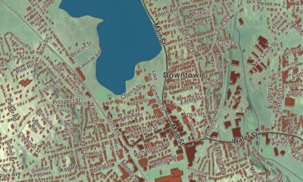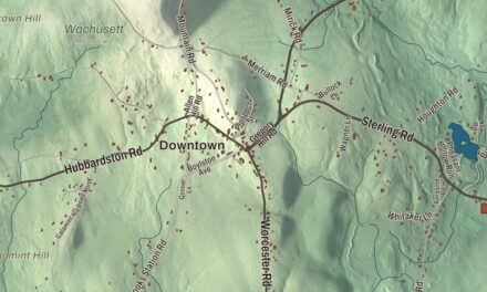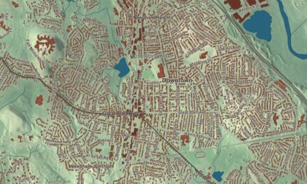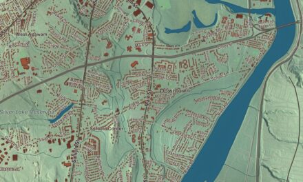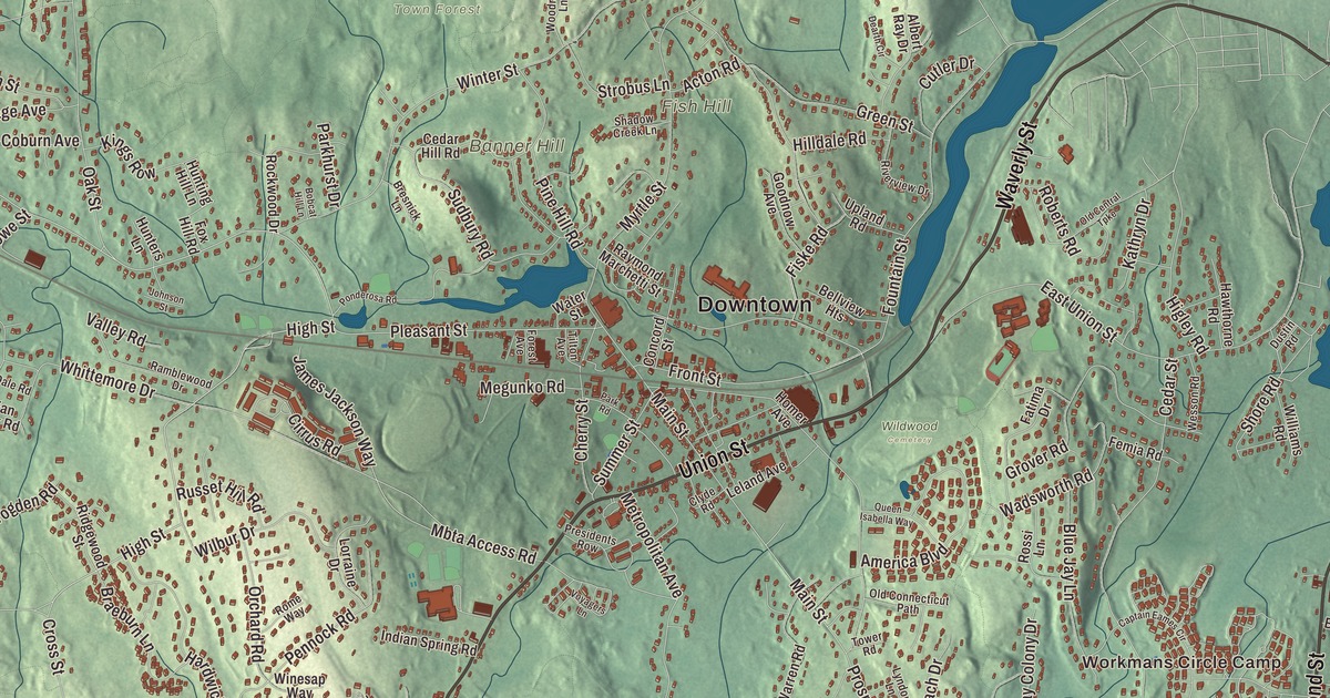
Ashland is the town where the Boston Marathon started, where Henry Warren built his electric clocks, and where Daniel Webster spoke from an inn’s balcony the day the first train came in. This map prints its roads, Pond Street, Union Street, West Union Street, Waverly Street, High Street and Cordaville Road, and its waters and hills: the Ashland Reservoir, Farm Pond, Ballard Hill, Banner Hill and Broad Hill. Click here to purchase a print of this map for your wall.
Ashland is in Middlesex County, in the MetroWest region about halfway between Boston and Worcester.
KNOWOL made this map in 2026 from public survey data and gave it the look of an old atlas. The shaded terrain comes from United States Geological Survey elevation data, and the roads and the town line come from the Census Bureau. The town covers 12.9 square miles, half a square mile of it water. Ashland had 18,832 people at the 2020 census.
Unionville
The Megunko people lived here before English settlers came, and Megunko Hill still carries their name. The Town of Ashland’s recorded history dates European settlement to 1750 in the state’s list, while the town page says the area was settled in the early 1700s. The village was known as Unionville, and Ashland was incorporated as a town in 1846, taking its name from Henry Clay’s Kentucky estate. It’s younger than many of its neighbors, made from nearly equal parts of Hopkinton, Holliston and Framingham. The town page traces Ashland’s Thanksgiving football rivalry with Hopkinton back to the town’s founding and an 1846 dispute over Ashland’s fire engine, the Megunko 1. The town remains part of Middlesex County today.
The Boston and Worcester Railroad, built in the 1830s, was key to Ashland’s early growth. In 1832 Captain John Stone built the Railroad House in the center of town to serve it; later called John Stone’s Inn, it’s now Stone’s Public House. On the day the first train arrived in 1834, Daniel Webster gave a speech from its balcony. When the inn was renovated after 1976, a hidden chamber was found in the basement, and some think it sheltered people escaping slavery on the Underground Railroad. The railroad and the Sudbury River drew mills and a busy boot and shoe trade, but in 1878 the Boston Water Board built three reservoirs on the river, which the town page says halted further growth, stopping work on the Dwight Printing Company’s granite mills.
True time and the first marathon miles
Henry E. Warren came to Ashland in 1904 with the Lombard governor company and settled here in 1907, on a farm on Chestnut Street. In the barn behind his house he worked out the synchronous electric clock, which keeps time by the steady pulse of the power grid; he patented it in 1918, and he’s been called the father of electric time. His company, Telechron, went into partnership with General Electric, and at its height in the 1950s it employed 2,000 people, roughly a third of the town. GE made clocks in Ashland until 1979, Timex closed the plant in 1992, and one of Warren’s timers is at the Smithsonian’s National Museum of American History. The high school teams are still called the Clockers.
From 1897 to 1923 the Boston Marathon started in Ashland, until marathon distances grew and the start moved back to Hopkinton in 1924. A small park on Pleasant Street keeps the history with a sign that reads “It all started here.” Click here to learn more about the history of Ashland.
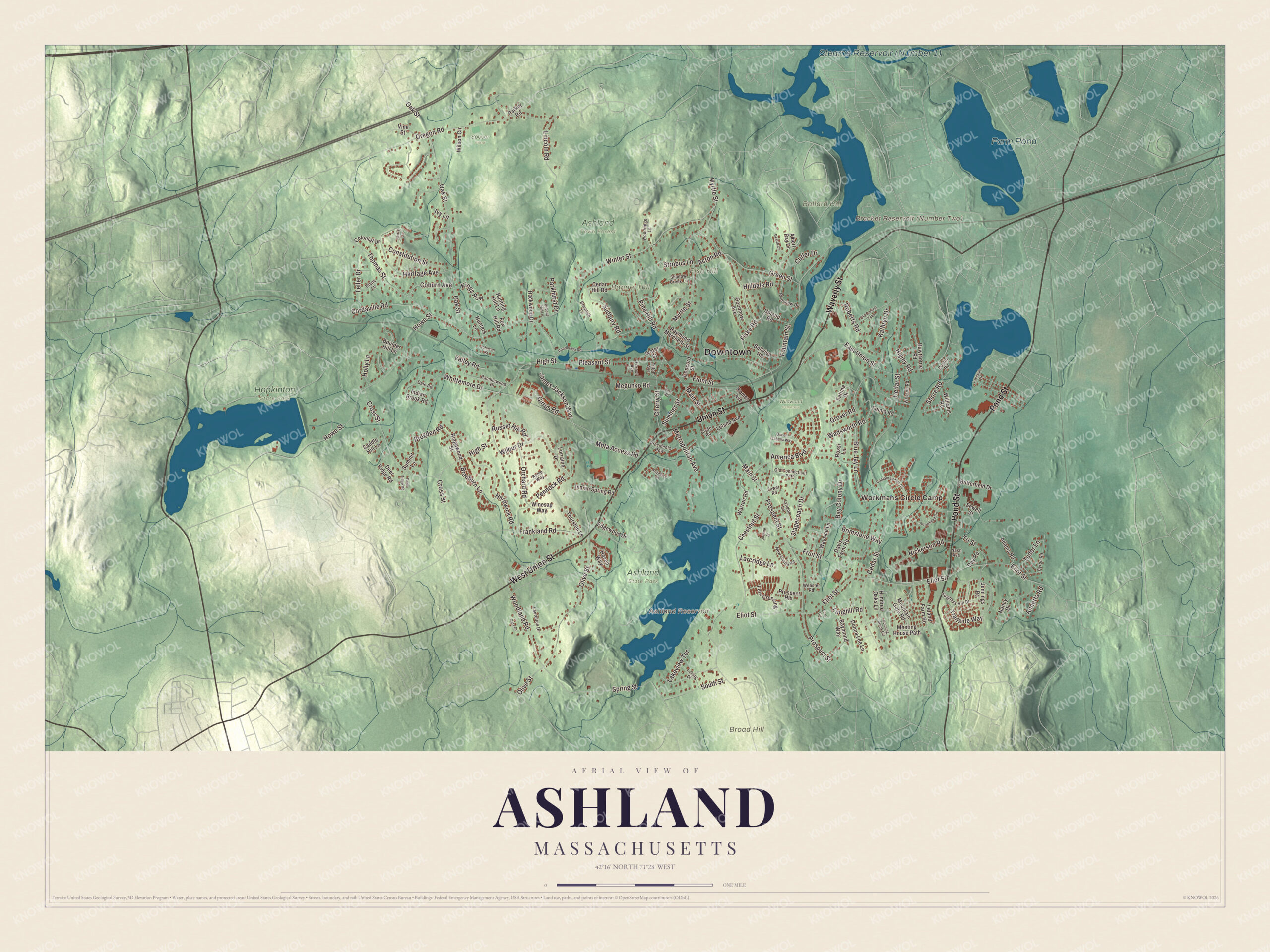
Click to explore a larger preview. The digital watermark does not appear on printed maps.
Names on this map
These names are printed on this map.
Places: Downtown, Workmans Circle Camp, Ballard Hill, Banner Hill, Broad Hill, Fish Hill, Ashland Reservoir, Farm Pond, Ashland Town Forest, Ashland State Park, Hopkinton State Park, Soccer Field and Wildwood Cemetery.
Streets and roads: Pond Street, West Union Street, Union Street, Waverly Street, High Street, Cordaville Road, Fiske Road, Eliot Street, Chestnut Street, Cedar Street, Oak Street, Winter Street.
More street names, A to Z
Acton Road, Adams Road, Albert Ray Drive, America Boulevard, Annetta Road, Arrowhead Circle, Bay Colony Drive, Bellview Heights, Blue Jay Lane, Bobcat Hill Lane, Boulder Hill Lane, Braeburn Lane, Bresnick Lane, Brimstone Way, Brogden Road, Butterfield Drive, Byron Road, Captain Eames Circle, Cary Drive, Cedar Hill Road, Cherry Street, Cirrus Road, Clyde Road, Coburn Avenue, Colonial Drive, Concord Street, Constitution Street, Cross Street, Cutler Drive, Dale Road, Davis Farm Road, Day Road, Dearth Circle, Deer Ridge Road, Diane Lane, Donna Lee Lane, Dustin Road, East Union Street, Edgewood Drive, Eliot Circle, Fatima Drive, Fawn Ridge Road, Femia Road, Fern Crossing, Forest Avenue, Fountain Street, Fox Hill Road, Frankland Road, Front Street, Fruit Street, Goodnow Avenue, Green Street, Grover Road, Hardwick Road, Harris Lane, Haven Way, Hawthorne Road, Heritage Avenue, Higley Road, Hilldale Road, Holly Lane, Homer Avenue, Howe Street, Hundred Oaks Lane, Hunters Lane, Hunting Hill Lane, Indian Brook Road, Indian Spring Road, Ivy Lane, James Jackson Way, Jennings Road, Joanne Drive, Johnson Street, Kathryn Drive, Kings Row, Lakeside Drive, Lakeview Terrace, Larcridge Lane, Laurelton Drive, Leland Avenue, Leland Farm Road, Lincoln Road, Longhill Road, Loring Drive, Lorraine Drive, Lyndon Lane, Main Street, Mbta Access Road, Meeting House Path, Megunko Road, Metropolitan Avenue, Mountain Gate Road, Myrtle Street, Nancy Drive, Nash Avenue, New Castle Road, Nickerson Road, Old Central Turnpike, Old Connecticut Path, Olive Street, Orchard Road, Oregon Road, Parker Road, Parkhurst Drive, Park Road, Pennock Road, Pine Hill Road, Pleasant Street, Ponderosa Road, Presidents Row, Prospect Heights, Prospect Street, Queen Isabella Way, Ramblewood Drive, Raymond Marchetti Street, Raymond Way, Ridgewood Street, Riverview Drive, Roberts Road, Rockwood Drive, Rome Way, Rossi Lane, Running Brook Circle, Russet Hill Road, Saddle Hill Lane, Sewell Street, Shadow Creek Lane, Shore Road, South Street, Spring Street, Spyglass Hill Drive, Stagecoach Drive, Strobus Lane, Sudbury Road, Summer Street, Summit Lane, Teller Drive, Thomas Street, Thurston Lane, Tilton Avenue, Tower Road, Trailside Way, Tri Street, Tudor Lane, Upland Road, Valley Road, Vine Street, Voyagers Lane, Wadsworth Road, Warren Road, Water Street, Wayside Lane, Webster Road, Wesson Road, Whittemore Drive, Wilbur Drive, Williams Road, Wilson Circle, Winesap Way, Woodland Road, Woodridge Lane.
See it on a wall
The Ashland map as a framed print. Swipe for more.


Reservoirs and open land
Ashland State Park covers 470 acres around the 157-acre Ashland Reservoir, which Boston built as part of its second major water supply system, damming Cold Spring Brook, a branch of the Sudbury River. The reservoir was taken out of service in 1947 and became the state park, and its earthen dam and granite spillway, built to look like a brook stepping down through the landscape, are on the National Register of Historic Places. A loop trail of about three and a half miles circles the water. The Ashland Town Forest covers 550 acres, and Warren Woods, more than 100 acres on the south side of town, was once Henry Warren’s land. On Waverly Street, the Sri Lakshmi Temple, opened on September 6, 1986, is a regional Hindu temple that the town page calls the largest of its kind in New England. Farm Pond, Ballard Hill, Banner Hill, Broad Hill and the Bracket Reservoir are printed on the map too. The reservoir’s full label reads Bracket Reservoir (Number Two). Follow Pond Street, West Union Street, Union Street, Waverly Street, High Street or Cordaville Road across town.
This Ashland map fits an office, library or den, and it can help teach children the geography and history of the town where the marathon began. It’s made for people who call Ashland home, from Stone’s Public House to the reservoir. KNOWOL created it in 2026, and it’s printed on museum quality archival paper. Zoom in on the preview above to explore the details, then click here to get your copy of the Ashland, Massachusetts map.

Sources