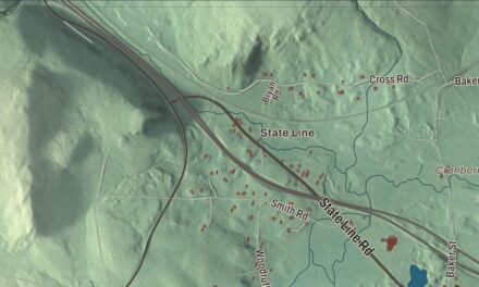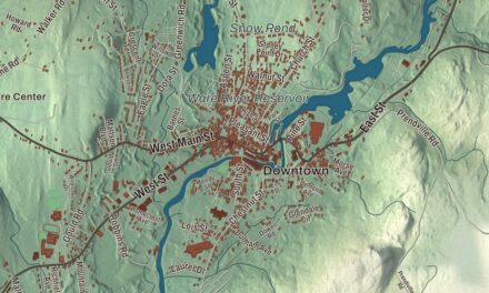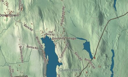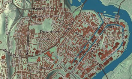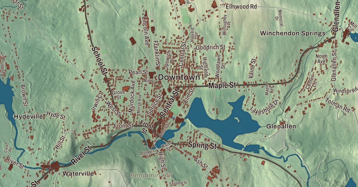
This aerial map of Winchendon, Massachusetts was created in 2026 using real geographic data to bring the town’s streets, buildings, neighborhoods, ponds and waterways, parks, mountains and ridgelines, and terrain together in one highly detailed view. Look closer and you can pick out the familiar places that make Winchendon feel like home. Start with the street you know, then see how it connects to the rest of the Winchendon you call home. Click here to purchase a print of this map for your wall.
Explore an aerial view of Winchendon, Massachusetts
Start with Downtown and Harrisville. Follow Baldwinville State Road, Winchendon Road, River Street, Main Street, Central Street, and Maple Street across town. Then look outward toward Bullardville, Glenallen, Hydeville, Pequoig, and Waterville.
Beaman Pond, Cowee Pond, Lake Monomonac, Lake Denison, Nineteenth Hill Wildlife Conservation Easement, Benjamin Hill, Birch Hill, Coolidge Hill, and Blueberry Island are all labeled on the map. Every one of those names is printed directly on the artwork, giving you plenty to explore.
The Town of Winchendon’s recorded history dates European settlement to 1753. Winchendon was incorporated as a town in 1764. The town remains part of Worcester County today. Click the image below to see the area as it looked in 2026.
Take a closer look at the Winchendon map
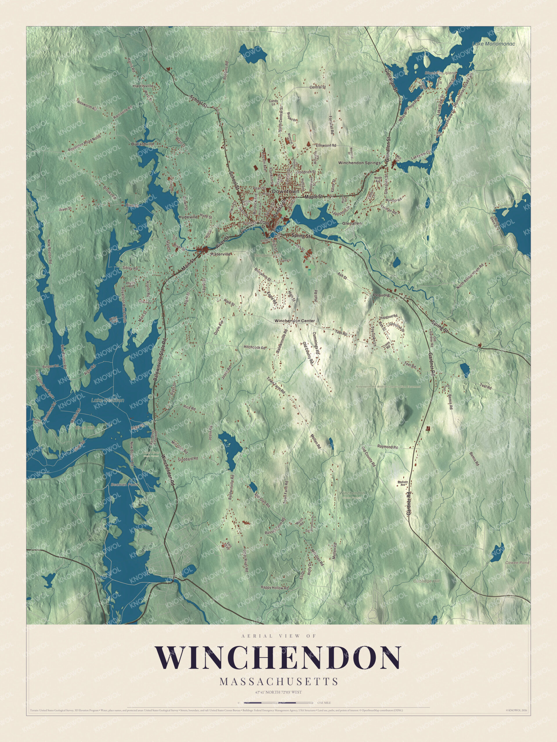
Click to explore a larger preview. The digital watermark does not appear on printed maps.
Names on this map
These names are printed on this map.
Places: Downtown, Harrisville, Benjamin Hill, Birch Hill, Blueberry Island, Coolidge Hill, Beaman Pond, Cowee Pond, Lake Monomonac, Lake Denison, Nineteenth Hill Wildlife Conservation Easement, Otter River State Forest, Winchendon State Forest, Bullardville, Glenallen, Hydeville, Pequoig, Waterville, Winchendon Center and Winchendon Springs.
Streets and roads: Baldwinville State Road, Winchendon Road, River Street, Main Street, Central Street, Maple Street, School Street, Glenallen Street, Glenallan Street, Spring Street, Gardner Road, Front Street.
More street names, A to Z
Alger Road, Alger Street, Ash Street, Baldwinville Road, Bayberry Circle, Beachview Drive, Beech Street, Bemis Road, Benjamin Street, Big Dam, Bosworth Road, Brooks Drive, Brooks Road, Brown Street, Burgess Road, Candy Lane, Center Lane, Chase Lane, Clark Road, Converse Drive, Cross Road, Cummings Road, Doyle Avenue, Eagle Road, Eli Drive, Elm Street, Elmwood Road, Fairbank Street, Foristall Road, Fourth Street, Franklin Street, Goodnow Road, Goodrich Street, Grove Street, Hale Street, Hall Road, Hapgood Road, Happy Hollow Road, Harris Road, Harrisville Road, Harvard Street, Highland Street, High Street, Hill Street, Hitchcock Road, Holly Drive, Hyde Street, Independence Drive, Ipswich Drive, Irwin Court, Island Road, Joslin Road, Krantz Road, Lakeshore Drive, Lake View Drive, Lakeview Drive, Laurel Street, Liberty Drive, Lincoln Avenue, Madison Avenue, Main Street Extended, Maple Avenue, Mellen Road, Memorial Drive, Middle Road, Mill Circle, Miller Trail, Mill Glen Road, Mill Street, Monomonac Road East, Morse Avenue, Murdock Avenue, New Boston Road, North Ashburnham Road, North Avenue, North Central Street, Old County Road, Old Gardner Road, Otter River Road, Pearl Street, Phyllis Road, Prospect Street, Raymond Road, Rice Road, River Road, Robbins Road, Royalston Road Annx, Royalston Road North, Royalston Road South, Russell Farm Road, Second Street, Sibley Road, Spruce Street, Stoddard Road, Swamp Road, Teel Road, Tolman Road, Town Farm Road, Toy Town Lane, Vaine Street, Vals Way, Water Street, Welch Road, West Monomonac Road, West Shore Drive, West Street, Willoughby Avenue, Windsor Road, Woodlawn Street.
See it on a wall
The Winchendon map as a framed print. Swipe for more.


We designed the artwork at KNOWOL using Winchendon’s real streets, buildings, neighborhoods, ponds and waterways, parks, mountains and ridgelines, and terrain, the town boundary, and the way buildings spread across the town. Then we chose the color, relief, lettering, and layout that make the map look great on the wall.
This beautifully detailed map of Winchendon makes an attractive addition to your office, library, or den and can even be used to teach children the geography and history of the area. When you’re done exploring, click here to get your copy of the Winchendon, Massachusetts map.