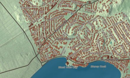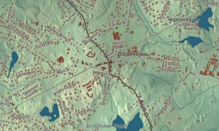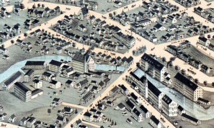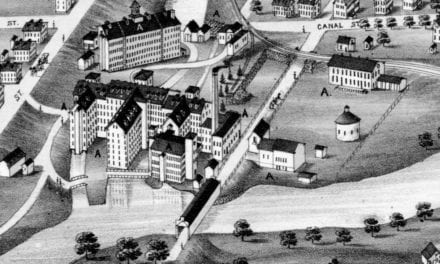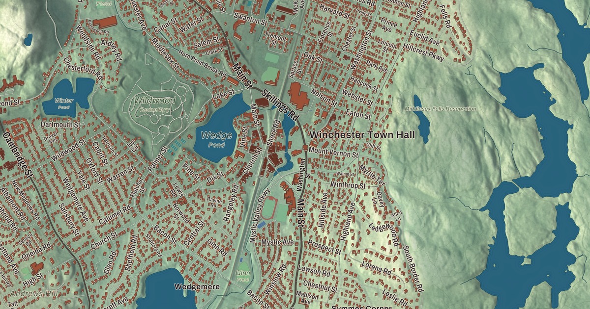
This aerial map of Winchester, Massachusetts was created in 2026 using real geographic data to bring the town’s streets, buildings, neighborhoods, ponds and waterways, parks, mountains and ridgelines, and terrain together in one highly detailed view. Look closer and you can pick out the familiar places that make Winchester feel like home. Start with the street you know, then see how it connects to the rest of the Winchester you call home. Click here to purchase a print of this map for your wall.
Explore an aerial view of Winchester, Massachusetts
Start with Winchester Town Hall and Symmes Corner. Follow Main Street, Skillings Road, Cambridge Street, Lake Street, Palmer Street, and Mount Vernon Street across town. Then look outward toward Wedgemere and Winchester Highlands.
Aberjona Pond, Upper Mystic Lake, North Reservoir, Middlesex Fells Reservation, and Andrews Hill are all labeled on the map. Every one of those names is printed directly on the artwork, giving you plenty to explore.
The Town of Winchester’s recorded history dates European settlement to 1640. Winchester was incorporated as a town in 1850. The town remains part of Middlesex County today. Click the image below to see the area as it looked in 2026.
Take a closer look at the Winchester map
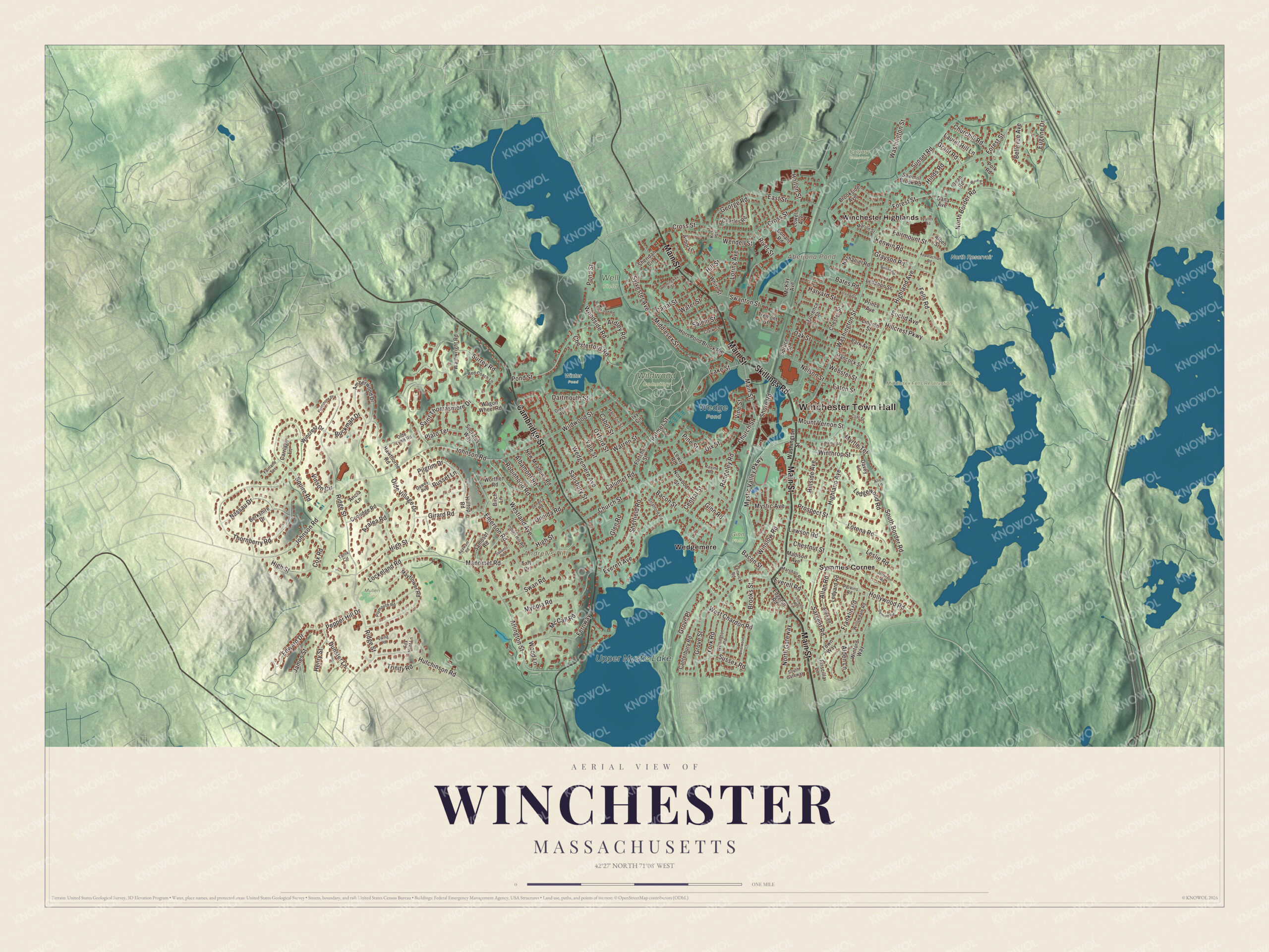
Click to explore a larger preview. The digital watermark does not appear on printed maps.
Names on this map
These names are printed on this map.
Places: Winchester Town Hall, Andrews Hill, Aberjona Pond, Upper Mystic Lake, Calvary Cemetery, Middlesex Fells Reservation, North Reservoir, Wedge Pond, Wildwood Cemetery, Winter Pond, Mullen Field, Well Field, Ginn Field, Symmes Corner, Wedgemere and Winchester Highlands.
Streets and roads: Main Street, Skillings Road, Cambridge Street, Lake Street, Palmer Street, Mount Vernon Street, Bacon Street, Middlesex Street, Dunster Lane, Franklin Road, Ridge Street, Swanton Street.
More street names, A to Z
Agawam Road, Albamont Road, Alben Street, Alden Lane, Alice Lane, Allan Road, Allen Road, Amberwood Drive, Appalachian Road, Arbor Lane, Ardley Road, Aricia Lane, Arlington Street, Azalea Road, Bates Road, Bellevue Avenue, Berkshire Drive, Birch Lane, Bonad Road, Brantwood Road, Briarwood Lane, Brookside Avenue, Brooks Street, Buckman Drive, Cabot Street, Calumet Road, Canal Street, Canterbury Road, Carriage Lane, Central Street, Charles Road, Chesterford Road, Chester Street, Chestnut Street, Churchill Road, Church Street, Clark Street, Cliff Street, Conant Road, Coolidge Road, Cox Road, Cross Street, Dana Avenue, Dartmouth Street, Davey Lane, Dawes Avenue, Dean Road, Dennett Road, Dix Street, Drexel Avenue, East Street, Eaton Street, Edgehill Road, Edward Drive, Emerson Road, Euclid Avenue, Eugene Drive, Everell Road, Everett Avenue, Fairlane Terrace, Fairmount Street, Fells Road, Fenwick Road, Fernway, Fieldstone Drive, Fletcher Street, Florence Street, Forest Street, Fox Hunt Lane, George Road, Ginn Road, Girard Road, Glen Road, Grant Road, Grayson Road, Grove Place, Grove Street, Hancock Street, Harrison Street, Harvard Street, Hawthorne Road, Hemingway Street, Henry Street, Highland Avenue, High Street, Hillcrest Parkway, Hillside Avenue, Hill Street, Hilltop Road, Hinds Road, Hollywood Road, Holton Street, Horn Pond Brook Road, Hutchinson Road, Indian Hill Road, Irving Street, Ivy Circle, James Street, Jefferson Road, Johnson Road, Kenwin Road, Kirk Street, Laurel Hill Lane, Lawson Road, Lebanon Street, Ledgewood Road, Ledyard Road, Leslie Road, Lewis Road, Lincoln Street, Lockeland Road, Lorena Road, Loring Avenue, Lowell Avenue, Madison Avenue, Manomet Road, Marion Street, Marshall Road, Mayflower Road, McCall Road, McKay Avenue, Myopia Road, Myrtle Terrace, Mystic Avenue, Mystic Valley Parkway, Nassau Drive, Nathaniel Road, Nelson Street, New Meadows Road, North Border Road, North Gateway, Norwood Street, Oak Street, Olde Lyme Road, Olde Village Drive, Oneida Road, Oxford Street, Park Avenue, Pepper Hill Drive, Perkins Road, Pilgrim Drive, Pine Street, Plato Terrace, Plymouth Road, Polk Road, Pond Street, Prince Avenue, Priscilla Lane, Prospect Street, Rangeley Road, Ravine Road, Red Coach Lane, River Street, Robinhood Road, Russet Lane, Saint Thomasmore Drive, Salem Street, Salisbury Street, Samoset Road, Sargent Road, Sawmill Brook Road, Seneca Road, Sheffield Road, Sheridan Circle, Shore Road, Socrates Way, South Border Road, South Gateway, Spruce Street, Squanto Road, Squire Road, Stowell Road, Stratford Road, Sunset Road, Surrey Road, Sussex Road, Swan Road, Sylvester Avenue, Taft Drive, Tania Circle, Thornberry Road, Town Way, Tremont Street, Trinity Road, Valley Road, Viking Road, Vine Street, Vinson Circle, Wagon Wheel Road, Wainwright Road, Walnut Street, Ware Road, Warren Street, Washington Street, Water Street, Webster Street, Wedgemere Avenue, Wellington Road, Wendell Street, West Chardon Road, Westland Avenue, White Street, Wildwood Street, Willowdale Road, Wincrest Drive, Winford Way, Winslow Road, Winthrop Street, Wood Lane, Woodside Road, Worthen Road, Yale Street, York Road.
See it on a wall
The Winchester map as a framed print. Swipe for more.


We designed the artwork at KNOWOL using Winchester’s real streets, buildings, neighborhoods, ponds and waterways, parks, mountains and ridgelines, and terrain, the town boundary, and the way buildings spread across the town. Then we chose the color, relief, lettering, and layout that make the map look great on the wall.
This beautifully detailed map of Winchester makes an attractive addition to your office, library, or den and can even be used to teach children the geography and history of the area. When you’re done exploring, click here to get your copy of the Winchester, Massachusetts map.