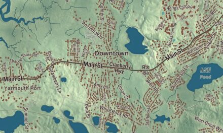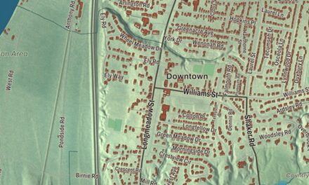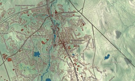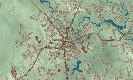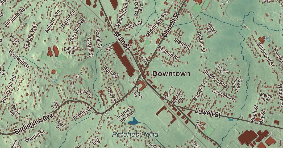
This aerial map of Wilmington, Massachusetts was created in 2026 using real geographic data to bring the town’s streets, buildings, neighborhoods, ponds and waterways, parks, mountains and ridgelines, and terrain together in one highly detailed view. Look closer and you can pick out the familiar places that make Wilmington feel like home. Start with the street you know, then see how it connects to the rest of the Wilmington you call home. Click here to purchase a print of this map for your wall.
Explore an aerial view of Wilmington, Massachusetts
Start with Downtown and North Wilmington. Follow Burlington Avenue, Church Street, Middlesex Avenue, Salem Street, Main Street, and Lowell Street across town. Then look outward toward Wilmington Junction.
College Pond, Fosters Pond, Shawsheen River, Patches Pond, Town Park, Pine Hill, Snake Hill, and Wood Hill are all labeled on the map. Every one of those names is printed directly on the artwork, giving you plenty to explore.
The Town of Wilmington’s recorded history dates European settlement to 1639. Wilmington was incorporated as a town in 1730. The town remains part of Middlesex County today. Click the image below to see the area as it looked in 2026.
Take a closer look at the Wilmington map
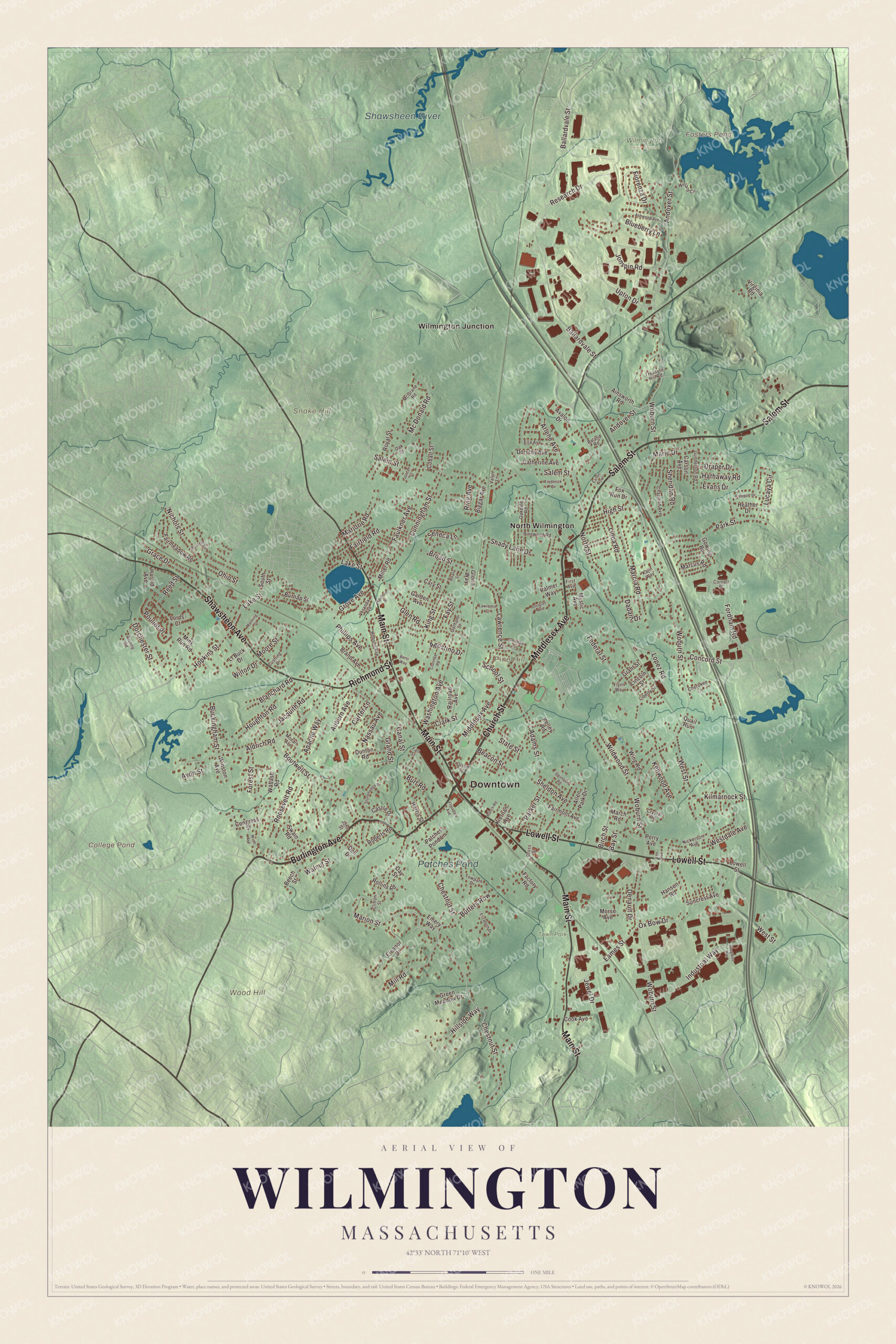
Click to explore a larger preview. The digital watermark does not appear on printed maps.
Names on this map
These names are printed on this map.
Places: Downtown, Pine Hill, Snake Hill, Wood Hill, College Pond, Fosters Pond, Shawsheen River, Patches Pond, Town Park, Wilmington Town Forest, North Wilmington and Wilmington Junction.
Streets and roads: Burlington Avenue, Church Street, Middlesex Avenue, Salem Street, Main Street, Lowell Street, Shawsheen Avenue, Richmond Street, Marion Street, Lake Street, Hopkins Street, Dorchester Street.
More street names, A to Z
Adams Street, Agostino Drive, Ainsworth Road, Aldrich Road, Allen Park Drive, Andover Street, Apache Way, Arlene Avenue, Ashwood Avenue, Auburn Avenue, Avalon Drive, Avon Street, Baland Road, Ballardvale Street, Bay Street, Beacon Street, Beech Street, Benji Way, Biggar Avenue, Birch Street, Blanchard Road, Blueberry Lane, Boutwell Street, Brand Avenue, Broad Street, Bruning Road, Buckingham Street, Burnap Street, Burt Road, Butters Row, Canal Street, Carson Avenue, Carter Lane, Cary Street, Castle Drive, Catherine Avenue, Chapman Avenue, Cherokee Lane, Chestnut Street, Clark Street, Clifton Street, Clorinda Road, Cobalt Street, Concord Street, Congress Street, Cook Avenue, Cornell Place, Cross Street, Crystal Road, Cunningham Street, Cushing Drive, Dadant Drive, Day Street, Dell Drive, Denault Drive, Doane Street, Dorothy Avenue, Douglas Avenue, Draper Drive, Dunton Road, Eames Street, Earles Row, Eleanor Drive, Elizabeth Drive, Ella Avenue, Emery Way, Evans Drive, Factory Road, Fairfield Road, Fairmeadow Road, Fairmont Avenue, Fall Street, Faulkner Avenue, Fay Street, Federal Street, Fiorenza Drive, First Avenue, Floradale Avenue, Flynn Way, Fordham Road, Forest Street, Fox Run Drive, Frederick Drive, Freeport Drive, Garden Avenue, Glendale Circle, Glen Road, Gloria Way, Gorham Street, Gowing Road, Grace Drive, Grand Street, Grant Street, Green Meadow Drive, Grove Avenue, Gunderson Road, Hanson Road, Harnden Street, Harold Avenue, Harris Street, Hathaway Road, Heather Drive, High Street, Hillside Way, Hobson Avenue, Houghton Road, Industrial Way, Jacquith Road, Jewel Drive, John Street, Jonspin Road, Jordan Street, Kajin Way, Kelley Road, Kenwood Avenue, Kiernan Avenue, Kilmarnock Street, King Street, Lawrence Court, Lawrence Street, Lee Avenue, Liberty Street, Lincoln Street, Linda Road, Lopez Road, Lords Court, Lt Buck Drive, Lucaya Circle, Manning Street, March Road, Marcia Road, Marcus Road, Marie Drive, Marjorie Road, Mc Donald Road, McGrane Road, Miller Road, Mill Road, Mink Run Road, Moore Street, Morse Avenue, Mozart Avenue, Mystic Avenue, Nassau Avenue, Nichols Street, Nickerson Avenue, North Street, Oakdale Road, Oak Street, Ogunquit Road, Ohio Street, Olson Street, Ox Bow Drive, Palmer Way, Parker Street, Park Street, Patches Pond Lane, Perry Avenue, Phillips Avenue, Pinewood Road, Pouliot Place, Progress Way, Quail Run, Railroad Avenue, Ranch Road, Reed Street, Research Drive, Ring Avenue, Roberts Road, Rollins Road, Roosevelt Road, Royal Street, Russell Road, School Street, Seneca Lane, Shady Lane Drive, Sheldon Avenue, Sheridan Road, South Street, State Street, Stonehedge Drive, Suncrest Avenue, Swain Road, Towpath Drive, Treasure Hill Road, Upton Drive, Valyn Lane, Veranda Avenue, Virginia Road, Wabash Road, Walnut Street, Washington Avenue, Westdale Avenue, West Street, Wildwood Street, Willard Circle, Wilton Drive, Wing Road, Winston Avenue, Wirth Avenue, Woburn Street.
See it on a wall
The Wilmington map as a framed print. Swipe for more.


We designed the artwork at KNOWOL using Wilmington’s real streets, buildings, neighborhoods, ponds and waterways, parks, mountains and ridgelines, and terrain, the town boundary, and the way buildings spread across the town. Then we chose the color, relief, lettering, and layout that make the map look great on the wall.
This beautifully detailed map of Wilmington makes an attractive addition to your office, library, or den and can even be used to teach children the geography and history of the area. When you’re done exploring, click here to get your copy of the Wilmington, Massachusetts map.