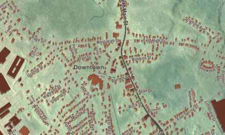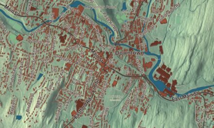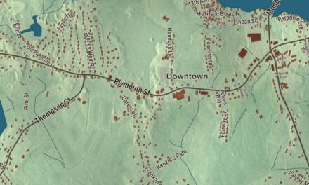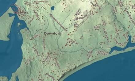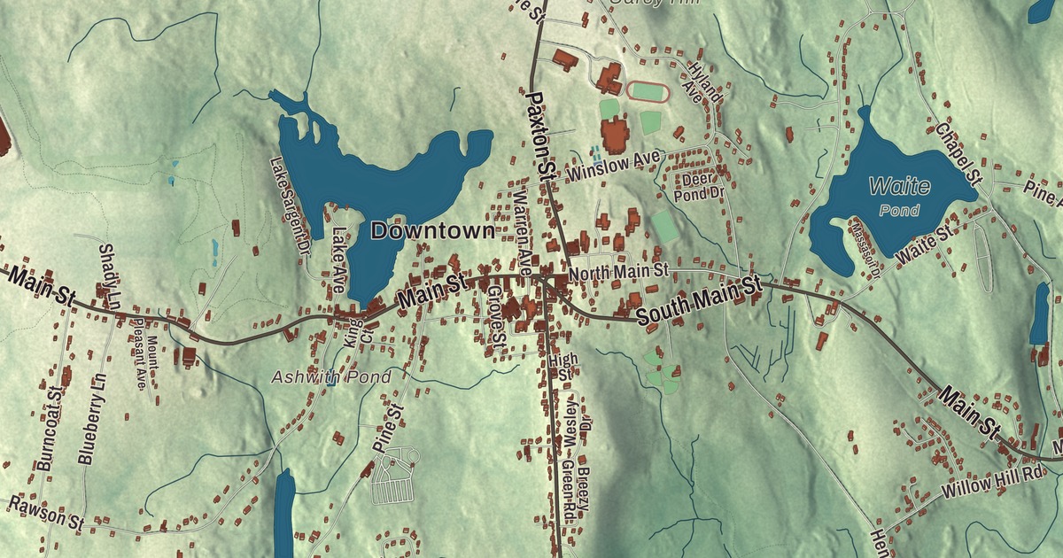
In Leicester, the day runs along Main Street, Route 9, from Cherry Valley on the Worcester side through the center and on toward Spencer, with Paxton Street and Pleasant Street meeting it at the crossroads. This map prints Main Street, South Main Street, North Main Street, Paxton Street, Pleasant Street and the Huntoon Memorial Highway, with Stiles Reservoir, Cedar Meadow Pond, Ashwith Pond and Carey Hill. Click here to purchase a print of this map for your wall.
Leicester is in Worcester County.
KNOWOL made this map in 2026 from public survey data and gave it the look of a vintage atlas. The hills and valleys come from United States Geological Survey elevation data, and the Census Bureau supplied the streets and the town line. Leicester covers 24.7 square miles on the west side of Worcester and had 11,087 people at the 2020 census. Two state highways cut it into quarters, Route 9 running east and west and Route 56 running north and south. Route 56 is Paxton Street north of the center crossroads and Pleasant Street south of it, until it swings onto the Huntoon Memorial Highway along the edge of Rochdale.
Strawberry Hill
The Nipmuc people knew this land as Towtaid. In 1686 nine proprietors, seven of them from Roxbury, bought eight square miles of it for 15 pounds and called it Strawberry Hill, but nearly 30 years passed before anyone settled there. The General Court voted to incorporate Leicester on February 15, 1713, on condition that 50 families settle within seven years. The Town of Leicester’s recorded history, in the Secretary of the Commonwealth’s list, dates European settlement to 1713 and incorporation as a town to 1714. Samuel Green, the first selectman, suggested the name, since his father came from Leicester, England. Dr. Samuel Green, an early settler who lived at 2 Charlton Street in Greenville, trained many other doctors in the early 1700s, and the town page counts that as the first medical school in Massachusetts. The western half became the town of Spencer in 1753, and large parts of Paxton and Auburn were once Leicester land too. The town remains part of Worcester County today.
Ready on a minute’s notice
At a Committee of Safety meeting in 1774, Leicester’s Colonel William Henshaw declared that the colony must have companies of men ready to march on a minute’s notice, and the town page credits him with coining the word “minutemen.” Before the British marched out of Boston, ammunition and equipment were moved west to four places in Leicester, among them Dr. Green’s house on Charlton Street. When word came on April 19, 1775, that the British had attacked, Leicester’s minutemen gathered on Leicester Common and marched to join the fight at Lexington and Concord. That winter, Henry Knox hauled cannons from the captured forts on Lake Champlain across New York and Massachusetts to Washington’s army outside Boston, arriving in January 1776, and his route ran through Leicester. A monument near the Leicester Library marks it.
Peter Salem was born into slavery in Framingham and freed in 1775 so that he could serve in the militia. He fought at Bunker Hill, Saratoga and Stony Point, and after the war he built a cabin near Leicester and worked as a cane weaver. Peter Salem Road carries his name today, as Henshaw Street carries the colonel’s. Henshaw’s daughter, Ruth Henshaw Bascom, grew up in Leicester and became a folk artist who made more than a thousand portraits in pastel, pencil and cut paper.
Cards for the mills
Leicester had a hand in the country’s industrial start as well. As early as the 1780s its mills turned out one third of American hand cards, the tools used to straighten fibers before spinning, and by the 1890s, when the industry began to fade, the town was making one third of all hand and machine cards in North America. Pliny Earle of Leicester built the carding machine for Samuel Slater’s mill at Pawtucket, Rhode Island, and today Leicester is one of the northernmost communities in the Blackstone River Valley National Heritage Corridor.
Leicester Academy opened in 1784 under a charter signed by Governor John Hancock and Samuel Adams, on land given by the merchant Aaron Lopez. It soon admitted girls as well as boys, which its page calls very unusual for the time, and Eli Whitney, inventor of the cotton gin, studied there. The academy became Leicester High School in 1921. Charles Adams, a military officer and foreign minister, was born in town, Emory Washburn served as governor of Massachusetts from 1854 to 1855, and the abolitionist pastor Samuel May kept a house that was a stop on the Underground Railroad and later became part of the Becker College campus.
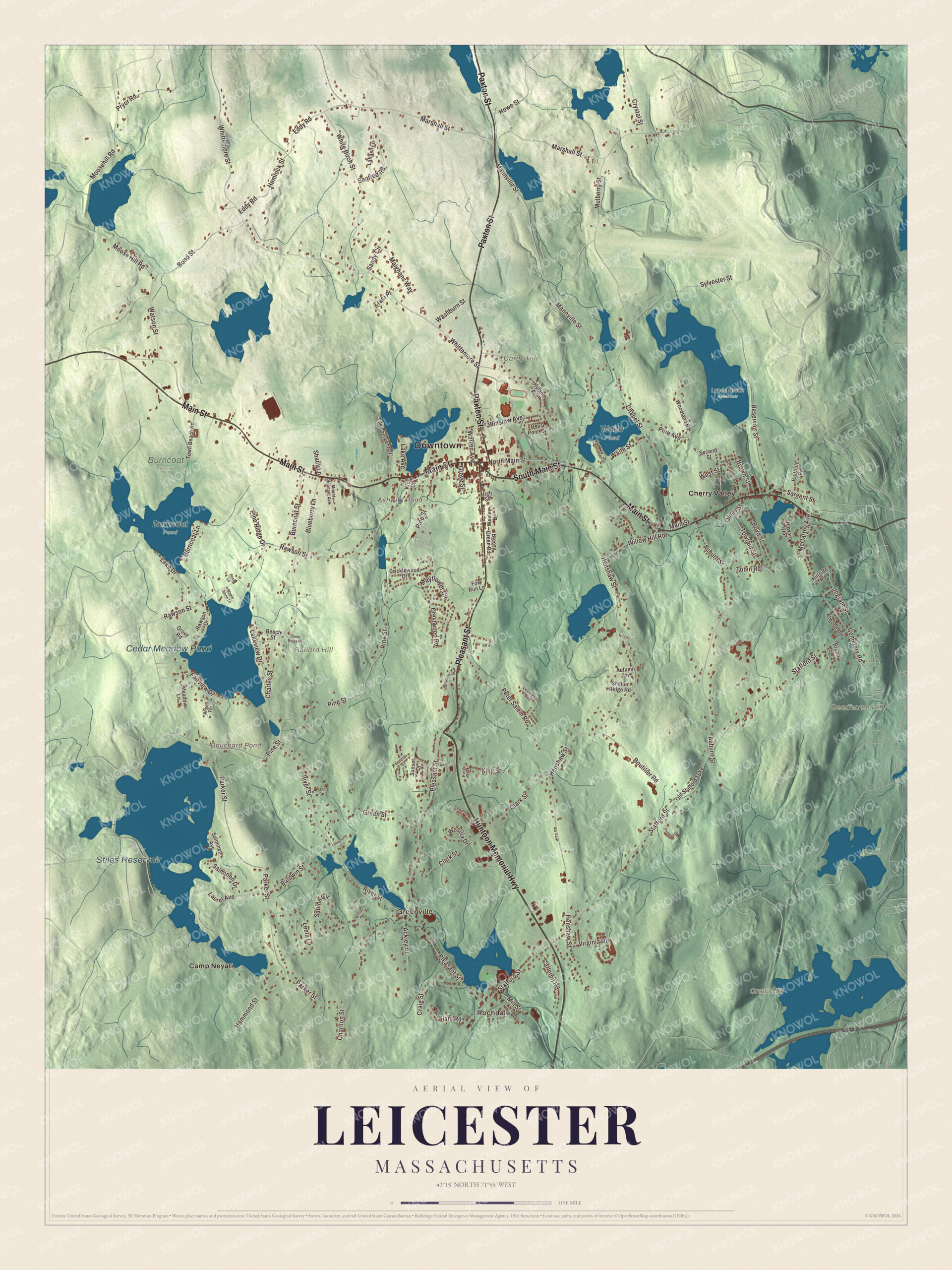
Click to explore a larger preview. The digital watermark does not appear on printed maps.
Names on this map
These names are printed on this map.
Places: Downtown, Rochdale, Greenville, Ballard Hill, Carey Hill, Crowl Hill, Deadhorse Hill, Ashwith Pond, Bouchard Pond, Stiles Reservoir, Cedar Meadow Pond, Burncoat Park, Burncoat Pond, Lynde Brook Reservoir, Waite Pond, Camp Neyati and Cherry Valley.
Streets and roads: Huntoon Memorial Highway, South Main Street, Main Street, Paxton Street, Pleasant Street, North Main Street, Winslow Avenue, Mill Street, Henshaw Street, Stafford Street, Pine Street, Whittemore Street.
More street names, A to Z
Ackley Drive, Angell Terrace, Atwood Road, Auburn Street, Autumn Lane, Baldwin Street, Beech Street, Blueberry Lane, Bond Street, Bottomly Avenue, Boutilier Road, Boyd Street, Breezy Green Road, Broad Street, Brown Street, Burncoat Lane, Burncoat Street, Carleton Road, Cemetery Road, Chapel Street, Charles Street, Charlton Street, Clark Street, Craig Street, Crestwood Road, Cricklewood Drive, Crystal Street, Deer Pond Drive, Eddy Road, Edward Street, Fairview Drive, Flagg Drive, Forest Street, Fox Run Lane, Green Street, Greenville Circle, Grove Road, Grove Street, Hammond Street, Hemlock Street, High Street, Hillside Road, Howard Terrace, Howe Street, Hyland Avenue, Ingram Street, King Court, King Street, King Terrace, Laflash Lane, Lake Avenue, Lake Drive, Lake Sargent Drive, Lakeview Drive, Laurel Avenue, Leela Lane, Lexington Avenue, Maighans Way, Mannville Street, Maple Glenn Lane, Marshall Street, Massasoit Drive, Mayflower Circle, McCarthy Avenue, Meadow Lane, Memorial Drive, Moosehill Road, Moose Hill Road, Mount Pleasant Avenue, Mulberry Street, Old Stafford Turnpike, Olney Street, Parker Street, Peter Salem Road, Pine Avenue, Pine Ridge Drive, Pryor Road, Rawson Drive, Rawson Street, Redfield Road, Reservoir Street, River Street, Rock Lane, Sabina Circle, Salminen Avenue, Salminen Drive, Sandy Circle, Sanfred Road, Sargent Street, Second Street, Shady Lane, Shelter Ridge Road, Siani Road, Stone Ridge Drive, Sunset Drive, Sylvester Street, Tobin Road, Town Beach Road, Towtaid Street, Traci Place, Victoria Drive, Virginia Drive, Waite Street, Warren Avenue, Washburn Street, Wasilla Drive, Watson Street, Wendy Place, Wesley Drive, West Street, White Birch Street, Willow Hill Road, Woodland Road.
Around the map
Start with Rochdale, the crossroads village in the southeast corner near the Oxford line, which now takes in old Greenville. Follow the Huntoon Memorial Highway, Pleasant Street, South Main Street, Main Street, North Main Street and Paxton Street across town. Then look outward toward Greenville and Cherry Valley, the eastern village next to Worcester. Ashwith Pond, Bouchard Pond, Stiles Reservoir, Cedar Meadow Pond, Ballard Hill, Carey Hill and Crowl Hill are all printed on the map, with plenty more to find between them. Most of Worcester’s Kettle Brook reservoir system sits inside Leicester, and so does the end of the longest runway at Worcester Regional Airport.
The Leicester map makes a fine addition to an office, library or den, and it can help teach children the geography and history of a Revolutionary town. It’s made for people who call Leicester home, from Cherry Valley to Rochdale, and it shows the town as it looks today. Zoom in on the preview above to explore the details, then click here to get your copy of the Leicester, Massachusetts map.

We made a map for every town and city in Massachusetts. Explore the complete Massachusetts map collection and find your town.
Sources