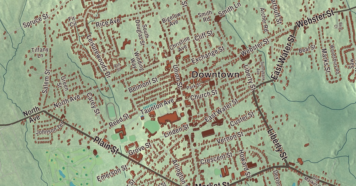
Rockland is named for its rocky ground, which was better suited to mills and industry than to farming, and in the 1800s its shoe factories, timber and sawmills made it boom. This map of the town prints Market Street, Centre Avenue, Liberty Street, East Water Street, Plain Street and Hingham Street, with Studleys Pond, Accord Pond, Hobart Pond and Beech Hill. Click here to purchase a print of this map for your wall.
Rockland is in Plymouth County.
KNOWOL made this map in 2026 from public survey data and gave it the look of an old atlas. United States Geological Survey elevation data gives the land its shape, and the streets and the town line come from the Census Bureau. Rockland lies 22 miles south of Boston and covers 10.1 square miles, nearly all of it land. Weymouth borders it to the northwest, Hingham and Norwell to the northeast, Hanover to the east, Hanson to the south, Whitman to the southwest and Abington to the west, and it had 17,803 people at the 2020 census.
East Abington
The land was part of a grant made to Timothy Hatherly in 1654, later known as the Hatherly Grant. The Town of Rockland’s recorded history, in the Secretary of the Commonwealth’s list, dates European settlement to 1673, when settlers made their homes here as the northeastern part of Abington. Rockland was incorporated as a town in 1874, splitting from Abington on March 9. Before the Civil War it was known for its lumber, sent to the shipyards of Hanover and Scituate, and its industry boomed in the 1800s and during the war with shoe factories, timber and sawmills, until production fell off after the Great Depression. After World War II new businesses grew up along Routes 123 and 139. Part of the landing strips of the South Weymouth Naval Air Station lay in Rockland until the base closed in 1996.
Hulda Barker Loud was born in East Abington, now Rockland, in 1844. She taught in her hometown for twenty-two years, fifteen of them as a grammar school principal, and persuaded the school board to pay her the same salary as a man. In 1884 she became editor of a new local paper, which she named The Independent, bought it five years later, and used it to argue for equal rights for women and for labor rights. The writer Maria Louise Pool, born here in 1841, became widely known in 1887 with A Vacation in a Buggy; she lived beside her family’s home on Liberty Street with her companion Caroline M. Branson, and the two are buried side by side in Rockland’s Mount Pleasant Cemetery. Brian Duffy, who flew four Space Shuttle missions for NASA, graduated from Rockland High School in 1971, and the novelist George V. Higgins grew up in town.
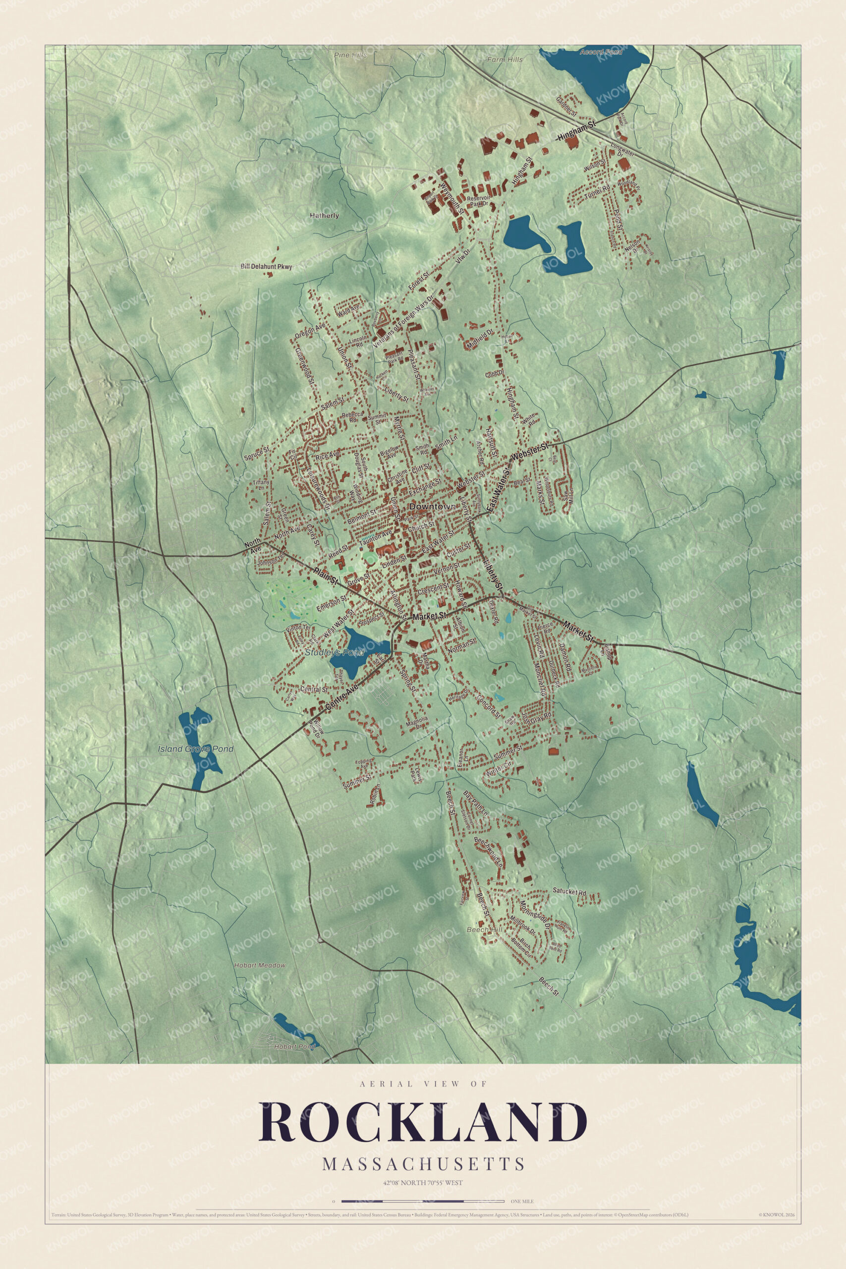
Click to explore a larger preview. The digital watermark does not appear on printed maps.
Names on this map
These names are printed on this map.
Places: Downtown, Hatherly, Beech Hill, Farm Hills, Hobart Meadow, Pine Hills, Accord Pond, Hobart Pond, Island Grove Pond, Studleys Pond and Lewis Park.
Streets and roads: Market Street, Centre Avenue, Liberty Street, East Water Street, Plain Street, Hingham Street, Webster Street, Spring Street, Beech Street, Bill Delahunt Parkway, Weymouth Street, Arlington Street.
More street names, A to Z
Accord Park Drive, Airport Park Drive, Albion Street, Archer Road, Ash Street, Bay Path Lane, Beal Court, Beal Street, Beechwood Lane, Belmont Street, Bigelow Avenue, Birch Bottom Circle, Bishop Lane, Boxberry Lane, Carey Street, Carlys Way, Central Street, Christine Avenue, Church Street, Clark Road, Cliff Street, Cobb Drive, Concord Street, Cornet Stetson Drive, Crescent Street, Custer Street, Damon Road, Dexter Road, Durbeck Road, Earl Street, Eleanor Lane, Emerson Street, Exchange Street, Fairview Street, Fir Circle, Foley Road, Forest Street, Franklin Hunt Road, French Road, Gardner Street, Green Street, Greenwood Street, Grove Street, Hackett Circle, Hartsuff Street, Heritage Drive, Hobart Lane, Howard Street, Johnson Terrace, Josh Gray Road, Krisroy Drive, Leisurewoods Drive, Levin Road, Lincoln Road, Linden Street, Longwater Drive, Magnolia Drive, Manzella Court, Marks Street, Martha Drive, Midfield Drive, Millbrook Drive, Moncrief Road, Morningside Drive, Myrtle Street, Nelson Drive, Norman Street, North Avenue, Old Market Street, Oregon Avenue, Park Street, Pierce Road, Pleasant Park Road, Pleasant Street, Pond Street, Prospect Street, Rebecca Road, Reed Bent Road, Reed Street, Reservoir Park Drive, Rice Avenue, Robin Lane, Salem Street, Satucket Road, Saw Mill Lane, Shaw Road, Smith Lane, Smith Road, South Douglas Street, Spruce Street, Summer Street, Summit Street, Sunnybank Avenue, Taunton Avenue, Thayer Terrace, Tiffany Lane, Topping Avenue, Turner Road, Union Street, Vernon Street, Veterans of Foreign Wars Drive, Vfw Drive, Vinton Terrace, Ward Avenue, West Water Street, Wheeler Avenue, White Road, Willow Pond Drive, Wilson Street, Winding Way, Winter Circle, Woodland Place, Woodsbury Road.
See it on a wall
The Rockland map as a framed print. Swipe for more.


Around the map
Start with Hatherly. Follow Market Street, Centre Avenue, Liberty Street, East Water Street, Plain Street and Hingham Street across town. The Lower Union Street Historic District runs down Union Street from East Water Street to Market Street, with well-kept houses from the late 1700s to the early 1900s; the oldest, the David Lane and Deacon Reed houses, date from 1816 and about 1818. At the corner of Union and Belmont streets, the Rockland Memorial Library was completed in 1903 in a red brick building paid for with a grant from Andrew Carnegie. Artists now work in old factory buildings such as the E. T. Wright Building of 1880 and the Sandpaper Factory of 1890.
Accord Pond, Hobart Pond, Island Grove Pond, Studleys Pond, Beech Hill and Hobart Meadow are all printed on the map. Studleys Pond, which people in town call Reeds Pond, sits just south of Rockland Center and can be seen from Market Street. Accord Pond, a 100-acre reservoir where Rockland meets Hingham and Norwell, supplies water to Hingham and Hull and is said to be named for an accord made there in early colonial times between local Native people and English settlers. Beech Hill rises in the south of town.
The Rockland map makes a fine addition to an office, library or den, and it can help teach children the geography and history of an old shoe and lumber town. It’s made for people who call Rockland home, from Hatherly to Beech Hill, and it shows the town as it looks today. Zoom in on the preview above to explore the details, then click here to get your copy of the Rockland, Massachusetts map.

Sources
- Rockland, Massachusetts, Wikipedia
- Hulda Barker Loud, Wikipedia
- Maria Louise Pool, Wikipedia
- Brian Duffy (astronaut), Wikipedia
- George V. Higgins, Wikipedia
- Lower Union Street Historic District, Wikipedia
- Rockland Memorial Library, Wikipedia
- Accord Pond, Wikipedia
- City and Town Incorporation and Settlement Dates, Secretary of the Commonwealth of Massachusetts (archived copy)