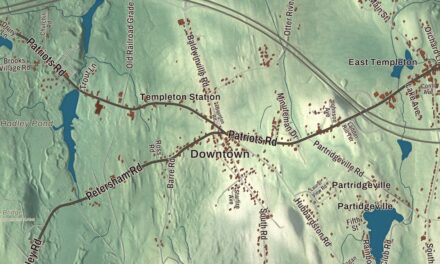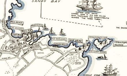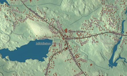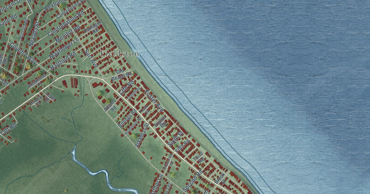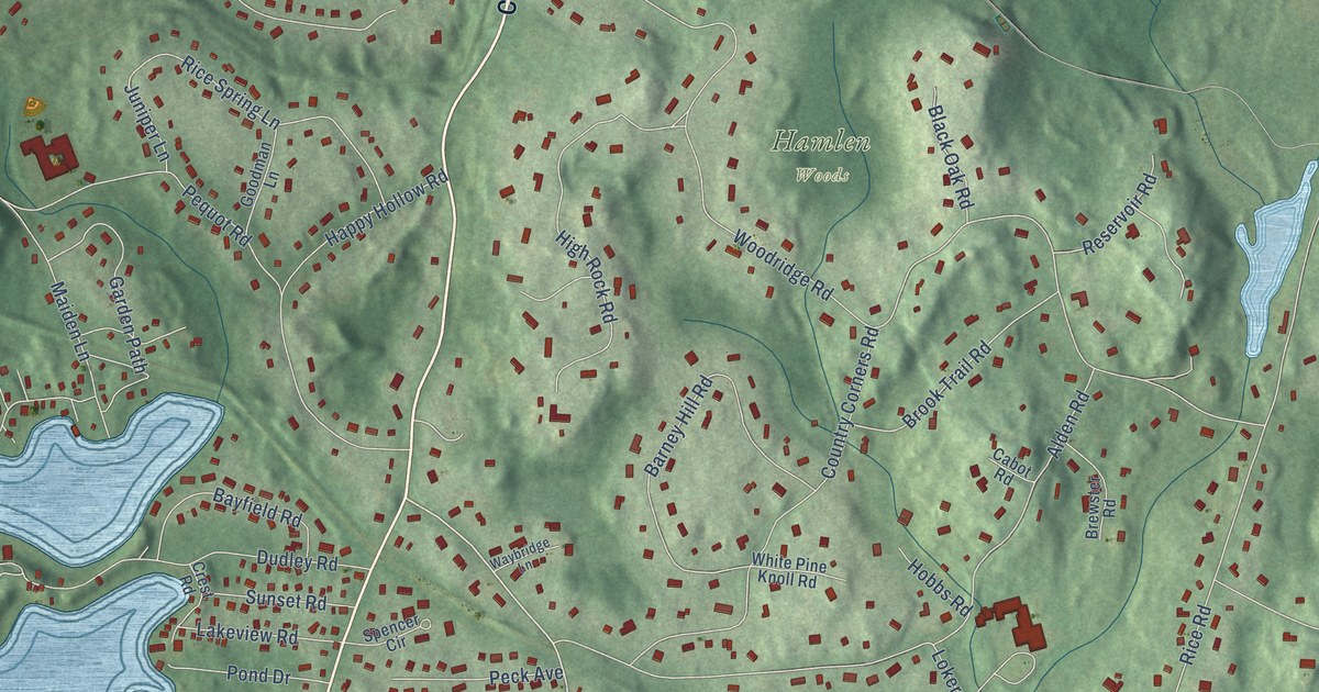
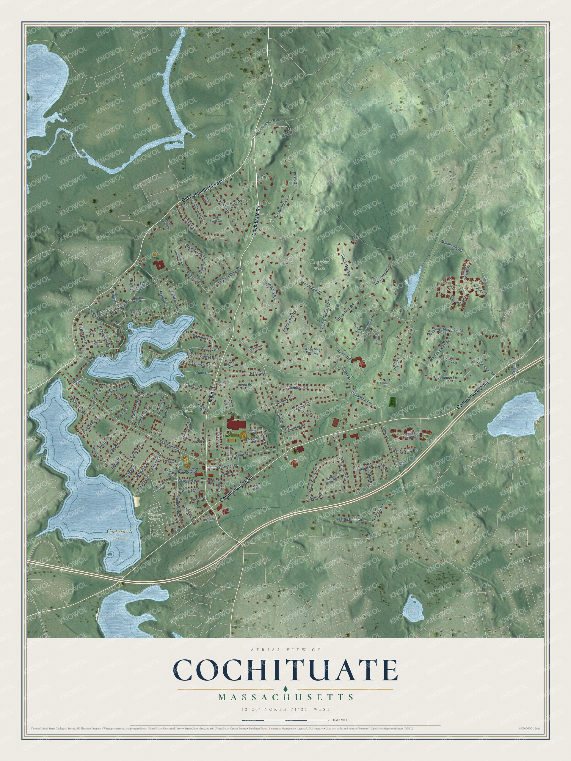
This beautifully detailed map of Cochituate, Massachusetts was created in 2026 using aerial imagery combined with modern topographical, census, street and landmark data. It's a modern aerial view of Cochituate in Middlesex County, Massachusetts, that combines modern data with a vintage aesthetic. The roads feature printed names, and if you look closely you can find your exact house accurately shown in its correct location.
Explore an aerial view of Cochituate, Massachusetts
On this map you'll find Cochituate State Park, Hamlen Woods, Lakeview Cemetery, The Hills, Dudley Woods, Cochituate Road, Old Connecticut Path, Main Street, Commonwealth Road, School Street, Doran Road, Hearthstone Circle, and more. Each red shape is a building, so zoom in on the preview and look for yours.
Cochituate is a community in Middlesex County. The Census Bureau counted 6,927 people here in 2020. The map prints the town name in its title panel, with the coordinates below it.
Take a closer look at the Cochituate map
Names on this map
These names are printed on this map.
Places: Cochituate State Park, Hamlen Woods, Lakeview Cemetery, The Hills and Dudley Woods.
Streets and roads: Cochituate Road, Old Connecticut Path, Main Street, Commonwealth Road, School Street, Doran Road, Hearthstone Circle, Woodridge Road, Lake Shore Drive, Rice Road, West Plain Street, Loker Street.
More street names, A to Z
Adelaide Avenue, Alden Road, Amey Road, Aqueduct Road, Bald Rock Road, Barney Hill Road, Bayfield Road, Bent Avenue, Black Oak Road, Bogren Lane, Bradford Street, Brewster Road, Brooks Road, Brook Trail Road, Cabot Road, Carpenter Road, Castle Gate Road, Caulfield Road, Cedar Crest Road, Center Street, Centre Street, Charles Street, Clubhouse Lane, Cole Road, Cormans Lane, Cottage Road, Country Corners Road, Crest Road, Cutting Cross Way, Damon Street, Davelin Road, Dean Road, Dudley Road, Dunster Avenue, East Plain Street, Eden Road, Edgewood Road, Elizabeth Road, Emerson Road, Fox Meadow Lane, French Avenue, Fuller Road, Gage Road, Garden Path, Gennaro Circle, Goodman Lane, Gregory Lane, Griffin Circle, Happy Hollow Road, Harrison Street, Haven Lane, Hawthorne Road, High Rock Road, Hillside Drive, Hill Street, Hobbs Road, Indian Road, Indian Rock Road, Jennison Avenue, Joyce Road, Juniper Lane, Keith Road, King Street, Knollwood Lane, Lake Road, Lake Road Terrace, Lakeview Road, Langdon Road, Leary Street, Linn Lane, Lodge Road, Loring Lane, Maguire Road, Maiden Lane, Mainstone Road, Mansion Road, Mathews Drive, Mayflower Path, Melville Place, Mitchell Street, Morrill Drive, Nolan Farm Road, Oak Street, Old Farm Circle, Old Farm Road, Old Tavern Road, Parkland Drive, Parkridge Road, Peck Avenue, Pemberton Road, Pequot Road, Pickwick Way, Pilgrim Path, Pine Needle Road, Pine Ridge Road, Pleasant Street, Pollock Road, Pond Drive, Puritan Path, Quincy Road, Reservoir Road, Rice Spring Lane, Richard Road, Ridgefield Road, Rolling Lane, Russell Road, Saddlebrook Road, Shaw Drive, Shawmut Avenue, Shawmut Avenue Extended, Simpson Road, Smokey Hill Road, Snake Brook Road, South Street, Spencer Circle, Stanton Street, Sunset Road, Sycamore Road, Thompson Road, Timber Lane, Trudeau Terrace, Valley View Road, Village Lane, Waybridge Lane, Wayland Hills Road, White Pine Knoll Road, Willard Street, Willow Brook Drive, Willow Lane, Winter Street, Woodland Road, Yeager Way.
See it on a wall
The Cochituate map as a framed print. Swipe for more.


Created by KNOWOL in 2026. The buildings are small red shapes, the roads carry their printed names, and shaded relief shows the shape of the land. The title panel reads "AERIAL VIEW OF COCHITUATE, MASSACHUSETTS" with 42°20' NORTH 71°21' WEST.
It suits a den, a classroom or a front hall, and it makes a gift for anyone with Cochituate roots. Open the preview and find the block you know. See sizes and frames for the Cochituate map.