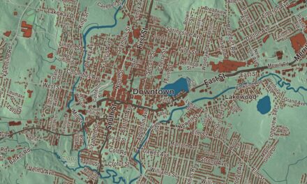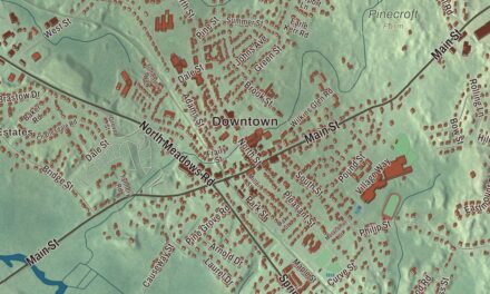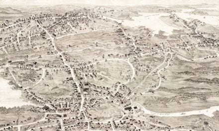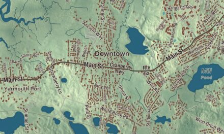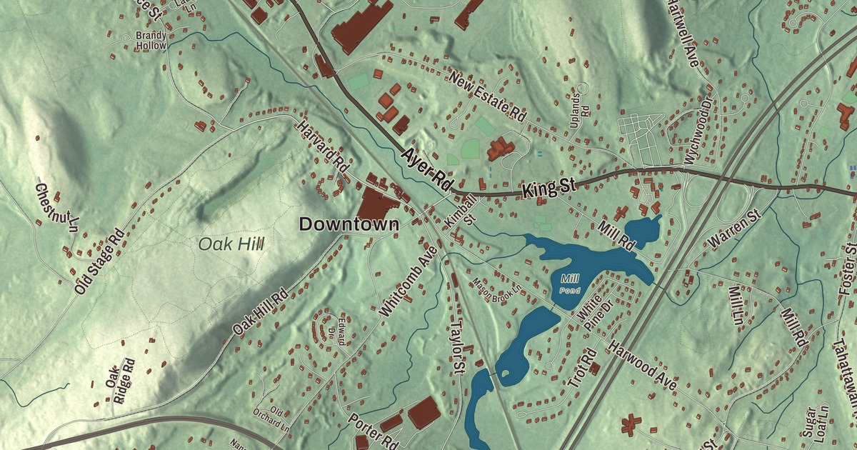
Littleton life runs along the Great Road and King Street, between the Common and the Depot, with Fort Pond, Long Lake and Lake Nagog close at hand. This map prints Great Road, King Street, Ayer Road, Harvard Road, Taylor Street and Norfolk Drive, with Nagog Pond, Fort Pond, Forge Pond and Fletcher Hill. Click here to purchase a print of this map for your wall.
Littleton is in Middlesex County.
KNOWOL made this map in 2026 from public survey data and gave it the look of a vintage atlas. The hills come from United States Geological Survey elevation data, and the Census Bureau supplied the streets and the town line. Littleton covers 17.5 square miles between Groton, Westford, Acton, Boxborough, Harvard and Ayer, and it had 10,141 people at the 2020 census. It contains the census-designated place of Littleton Common, and commuter trains on the Fitchburg Line stop in town on the way to Boston’s North Station.
Nashoba
Littleton’s old name is Nashoba. In 1645 the missionary John Eliot founded his sixth Praying Indian village here, Nashoba Plantation, on the land between Lake Nagog and Fort Pond, home to about ten families of mostly Massachusett people. During King Philip’s War the colony removed them, many to Deer Island, and afterward most of the survivors moved to Natick and sold their land. Sarah Doublet, remembered as the last of the Praying Indians here, died in 1736.
The Town of Littleton’s recorded history, in the Secretary of the Commonwealth’s list, dates European settlement to 1686, and Littleton was incorporated as a town in 1715, by act of the General Court on November 2. Its first limits took in what is now Boxborough, which became its own town in 1783 and took almost a quarter of Littleton’s land. According to a story in Herbert Joseph Harwood’s town history of 1890, the name honored George Lyttleton, a member of Parliament, who sent a church bell as a gift, but the man in charge of it sold it instead, claiming he could find no town spelled Lyttleton. The town remains part of Middlesex County today.
The minutemen and the Tory town
On April 19, 1775, Littleton’s militia and minutemen mustered at Liberty Square, on the Boxborough side of town, marched over Fort Pond Hill and on through Acton, and fought at Concord and along the Battle Road. Several taverns served the town, among them the Long Store on the Great Road, built around 1700, and the Fox Tavern on Foster Street from about the same time. Local lore says a band of Loyalists stayed on after the war and blocked every attempt to rename King Street as Main, Washington or Adams Street, and the neighboring towns still tease Littleton as a Tory town.
Apples, the Lyceum and the Depot
Through the 1800s Littleton was known for its apple orchards and its cider. Residents founded the Littleton Lyceum on December 21, 1829, “to promote mutual improvement,” and it kept up its lectures and debates for close to a century, long after most lyceums had faded. The Fitchburg Railroad arrived in 1844, and stores and shops grew up around the Common and the Depot. In 1894 and 1895 the Houghton Memorial Building went up as the town library, a gift of Elizabeth and Clement S. Houghton, and after the library moved out in 1991 it became home to the Littleton Historical Society.
In 1930 Arthur Rowse moved his vinegar and juice company, maker of Veryfine apple juice, to the Depot to be closer to the state’s orchards, and the plant ran in town until the end of 2015. On the Great Road, J. Fred Herpy’s dairy built two large swimming pools, and by the last summer they were open, in 1968, more than a thousand children had learned to swim at Herpy’s. Digital Equipment Corporation built a very large facility on King Street near the Common in the 1970s, and in 2007 IBM bought it and announced it would become its main New England location. Littleton spent 2014 celebrating its 300th anniversary.
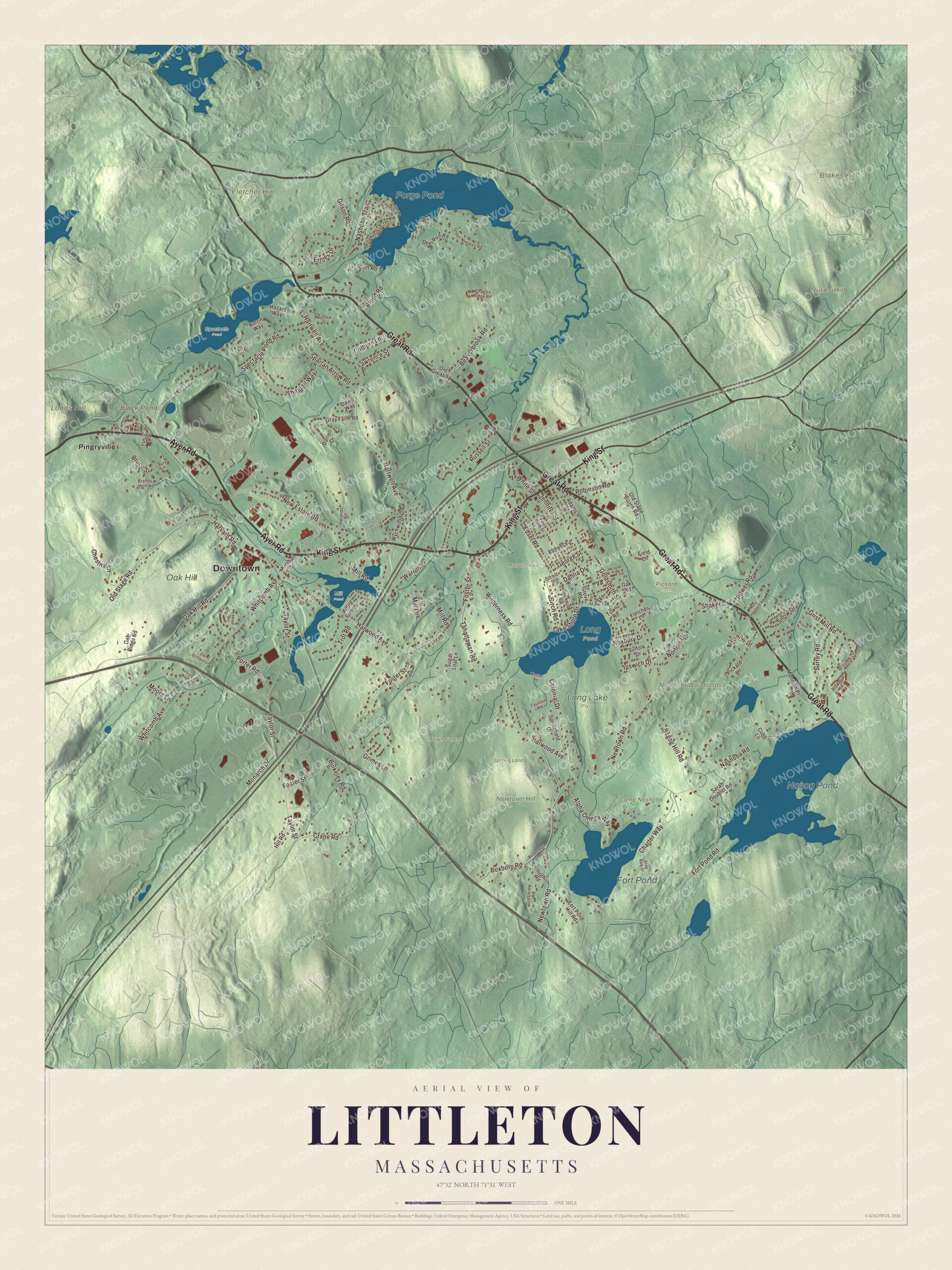
Click to explore a larger preview. The digital watermark does not appear on printed maps.
Names on this map
These names are printed on this map.
Places: Downtown, Blakes Hill, Burns Hill, Fletcher Hill, Longs Hill, Black Pond, Nagog Pond, Forge Pond, Fort Pond, Brown's Woods, Camp Nashoba, Gray Farm, Long Pond, Long Lake Park, Mill Pond, Morgan Land, Nashoba Woodlands, Newtown Hill, Oak Hill, Pickard Farm, Spectacle Pond, Sprong Land, Town Forest, Whitetail Woods and Pingryville.
Streets and roads: Great Road, Ayer Road, King Street, Harvard Road, Norfolk Drive, Taylor Street, Goldsmith Street, Bruce Street, Roxbury Drive, Newtown Road, Whitetail Way, Lake Shore Drive.
More street names, A to Z
Adams Street, Alpha Omega Way, Baron Way, Beaverbrook Road, Birch Road, Blood Road, Boxboro Road, Boxborough Road, Boxwood Drive, Brandy Hollow, Bulkeley Road, Charles Ridge Road, Charter Way, Chestnut Lane, Cobb Lane, Colburn Lane, Colonial Drive, Coughlin Road, Crane Road, Crestview Road, Cricket Lane, Dahlia Drive, Darrell Drive, David Way, Deer Run Road, Dogwood Road, Drover Lane, Edsel Road, Edward Drive, Ernies Drive, Field Lane, Fifth Street, Fletcher Lane, Florence Street, Fort Pond Hill Road, Fort Pond Road, Foster Street, George Street, Gilson Road, Gray Farm Road, Green Needles Road, Grimes Lane, Grist Mill Road, Grove Road, Hartwell Avenue, Harwood Avenue, Hazard Way, Hill Road, Ipswich Drive, Jennifer Street, Kimball Street, Lake Drive, Laurel Road, Laury Lane, Lawrence Street, Mannion Place, Mary Shepherd Road, Mason Brook Lane, Matawanakee Trail, Matthew Drive, McIntosh Lane, Meadow Drive, Mill Lane, Mill Road, Monarch Drive, Moore Lane, Nagog Hill Road, Nancy's Way, Nashoba Road, Nashoba Trail, New Estate Road, Oak Hill Road, Oak Ridge Road, Oak Road, Old Great Road, Old Orchard Lane, Old Stage Coach Road, Old Stage Road, Orchid Drive, Paula Beth Street, Pickard Lane, Porter Road, Power Road, Robinson Road, Russell Street, Sarah Doublet Road, Scott Road, Shag Bark Drive, Shaker Lane, Snow Drive, Spartan Arrow Road, Spectacle Pond Road, Springfield Drive, Suffolk Drive, Sugar Loaf Lane, Surrey Road, Tadmuck Trail, Tahattawan Road, Taunton Road, Town Road, Trot Road, Uplands Road, Warren Street, Weston Road, Whitcomb Avenue, White Pine Drive, White Street, Wilderness Road, Wychwood Drive.
Around the map
Start with Pingryville. Follow Great Road, Ayer Road, King Street, Harvard Road, Norfolk Drive and Taylor Street across town. Black Pond, Nagog Pond, Forge Pond, Fort Pond, the Town Forest, Blakes Hill, Burns Hill and Fletcher Hill are all printed on the map as well. The Stony Brook Railroad once kept a station in North Littleton by Forge Pond. Freight trains still run on that line every day.
The Littleton map makes a fine addition to an office, library or den, and it can help teach children the geography and history of an old orchard town. It’s made for people who call Littleton home, from Pingryville to the Common, and it shows the town as it looks today. Zoom in on the preview above to explore the details, then click here to get your copy of the Littleton, Massachusetts map.

We made a map for every town and city in Massachusetts. Explore the complete Massachusetts map collection and find your town.
Sources