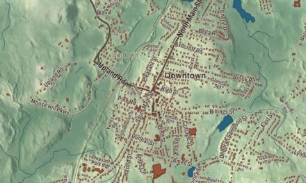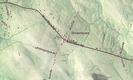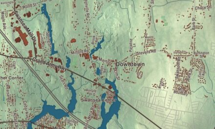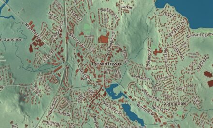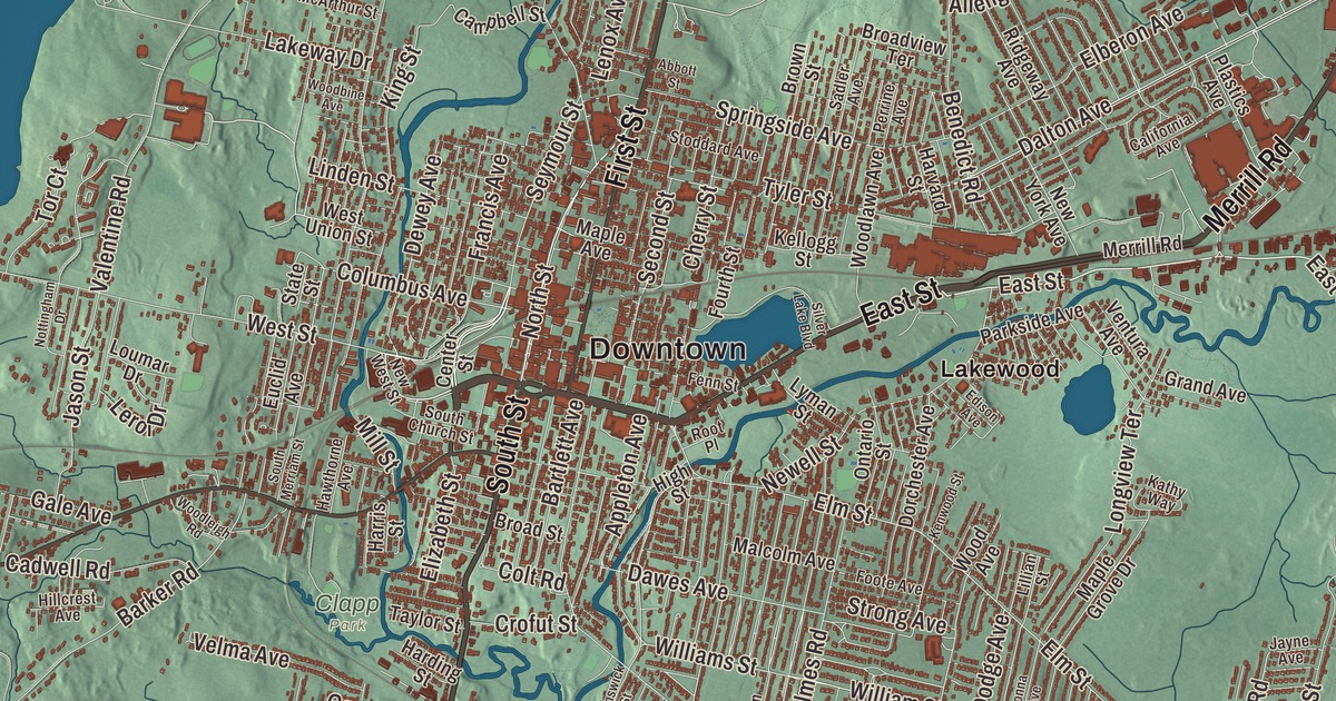
Herman Melville wrote Moby-Dick in a farmhouse on Holmes Road in Pittsfield. This map of the city prints South Street, Merrill Road, East Street, Cheshire Road, Dalton Avenue and North Street, with Onota Lake, Pontoosuc Lake, Berry Mountain and Court Hill. Click here to purchase a print of this map for your wall.
Pittsfield is in Berkshire County.
KNOWOL made this map in 2026 from public survey data and gave it the look of an old atlas. The valley and the hills around it come from United States Geological Survey elevation data, and the streets and the city line come from the Census Bureau. Pittsfield is the county seat and the most populous city in Berkshire County, with 43,927 people at the 2020 census, and it covers 42.5 square miles. It lies where the east and west branches of the Housatonic River meet, between the Berkshire Hills to the east and the Taconic Range to the west, at an elevation of 1,039 feet.
Pontoosuck
The Mohicans, an Algonquian people, lived here until the early 1700s, when war and disease brought by European colonists greatly reduced their numbers and many moved west. Early records say the Mohicans often landed their canoes along the Housatonic in what’s now the Canoe Meadows Wildlife Sanctuary, kept by Mass Audubon, and the sanctuary’s name comes from that. In 1738 the Bostonian Colonel Jacob Wendell bought 24,000 acres here as an investment, land known as Pontoosuck, from a Mohican word meaning “a field or haven for winter deer.” Young militia men began clearing it in 1743, but around the time of King George’s War they were forced to leave. Settlers from Westfield came next, and their village was incorporated as Pontoosuck Plantation in 1753. The City of Pittsfield’s recorded history dates European settlement to 1752. By 1761 the plantation had 200 residents. Pittsfield was incorporated as a town in 1761, and Royal Governor Sir Francis Bernard named it for the British statesman William Pitt.
By the end of the Revolution Pittsfield had nearly 2,000 residents, among them Colonel John Brown, who began accusing Benedict Arnold of being a traitor in 1776, years before Arnold went over to the British. Mills for lumber, grist, paper and textiles dotted the many brooks running into the Housatonic, and after Merino sheep arrived from Spain in 1807 the area became the center of woolen manufacturing in the United States, the industry that led the town’s economy for almost a century. It was incorporated as a city in 1891. William Stanley Jr. had founded the Stanley Electric Manufacturing Company in Pittsfield in 1890, making transformers, motors and appliances; General Electric took a controlling interest in 1903, and thanks to GE’s success the city had grown past 50,000 people by 1930.
Melville at Arrowhead
Melville bought the 160-acre farm in 1850, next to land his uncle Thomas owned, and spent the next twelve years farming and writing there. At Arrowhead he wrote Moby-Dick, Pierre, which he dedicated to Mount Greylock, The Confidence-Man and Israel Potter, and he named The Piazza Tales for the house’s porch. Built in the 1780s as a farmhouse and inn, Arrowhead at 780 Holmes Road has belonged to the Berkshire County Historical Society since 1975, with most of it restored to Melville’s time. It’s a National Historic Landmark. The Berkshire Athenaeum, Pittsfield’s public library, keeps special collections on Melville and on local history.
A baseball town
In 2004 the historian John Thorn came across a mention of a 1791 Pittsfield bylaw that barred anyone from playing “baseball” within 80 yards of the new meeting house, and a reference librarian, AnnMarie Harris, found the bylaw itself in the Berkshire Athenaeum. If it’s authentic and means a game we’d recognize, it was, as of 2004, the earliest known reference to baseball in America. In 1859 Pittsfield hosted the first intercollegiate baseball game, which Amherst won over Williams, 73 to 32. Frank Grant, born in Pittsfield in 1865, was a star of the International League shortly before organized baseball banned African-American players, and then he starred in the early Negro leagues; he’s widely considered the greatest African-American player of the 19th century and was elected to the National Baseball Hall of Fame in 2006. Wahconah Park, built in 1919, is one of the last ballparks in the country with a wooden grandstand. Its diamond faces west, and some umpires still pause games at sunset so the sun won’t blind the batters.
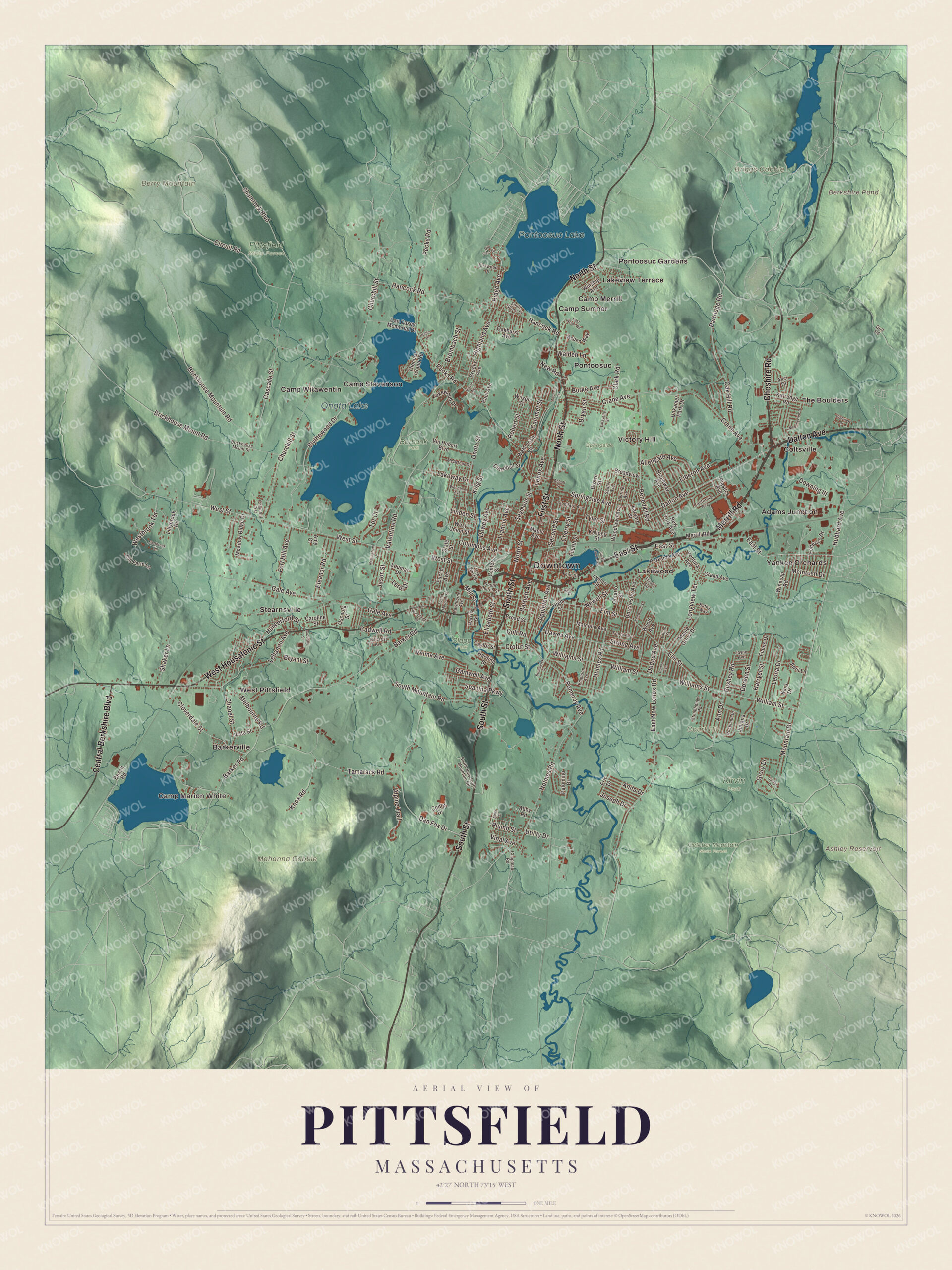
Click to explore a larger preview. The digital watermark does not appear on printed maps.
Names on this map
These names are printed on this map.
Places: Downtown, Camp Marion White, Berry Mountain, Briggs Cobble, Court Hill, Mahanna Cobble, Ashley Reservoir, Berkshire Pond, Onota Lake, Pontoosuc Lake, Burbank Park, Clapp Park, Kirvin Park, October Mountain State Forest, Pittsfield State Forest, Springside Park, Adams Junction, Barkerville, Camp Merrill, Camp Stevenson, Camp Sumner, Camp Witawentin, Coltsville, Lakeview Terrace, Lakewood, Pontoosuc, Pontoosuc Gardens, Stearnsville, The Boulders, Victory Hill, West Pittsfield and Yankee Orchards.
Streets and roads: South Street, Merrill Road, East Street, Cheshire Road, Dalton Avenue, North Street, West Housatonic Street, Central Berkshire Boulevard, First Street, William Street, Dewey Avenue, Bushey Road.
More street names, A to Z
Abbott Street, Abby Road, Allengate Avenue, Alma Street, Alpine Trail, Amy Court, Anita Drive, Ann Drive, Appleton Avenue, April Lane, Asci Drive, Aspen Way, Audubon Street, Barker Road, Bartlett Avenue, Beach Road, Benedict Road, Blythewood Drive, Brickhouse Mountain Road, Brickhouse Mount Road, Brickhouse Mount Street, Broad Street, Broadview Terrace, Brombach Street, Brooks Avenue, Brown Street, Brunswick Street, Bryan Street, Bryant Street, Burke Avenue, Cadwell Road, California Avenue, Calumet Street, Campbell Street, Caroline Street, Cascade Street, Center Street, Chapel Street, Chapman Road, Cherry Street, Churchill Crst, Churchill Street, Circuit Road, Clark Road, Cloverdale Street, Colt Road, Columbus Avenue, Conte Drive, Crane Avenue, Crofut Street, Dan Casey Memorial Drive, Dan Fox Drive, Dawes Avenue, Dodge Avenue, Donna Avenue, Dorchester Avenue, Doreen Street, Downing III, East Acres Road, Eastbrook Lane, East New Lenox Road, Edison Avenue, Elaine Drive, Elberon Avenue, Eleanor Road, Elizabeth Street, Elm Street, Emerson Avenue, Eric Drive, Euclid Avenue, Federico Drive, Fenn Street, Foote Avenue, Fort Hill Avenue, Fourth Street, Francis Avenue, Gale Avenue, Gamwell Avenue, Gaston Drive, Glory Drive, Grand Avenue, Gulf Road, Hancock Road, Harding Street, Harris Street, Harryel Street, Harvard Street, Hawthorne Avenue, Highland Avenue, High Street, Highview Drive, Hillcrest Avenue, Holmes Road, Hubbard Avenue, Hungerford Street, Jason Street, Jayne Avenue, Joseph Drive, Juliana Drive, Kara Drive, Kathy Way, Kellie Drive, Kellogg Street, Kenwood Street, King Street, Kirkwood Drive, Kittredge Road, Knox Road, Lafayette Street, Lakeway Drive, Lakewood Drive, Lebanon Avenue, Lenox Avenue, Leona Drive, Leroi Drive, Lillian Street, Lillybrook Road, Linden Street, Longview Terrace, Loumar Drive, Lyman Street, Malcolm Avenue, Maple Avenue, Maple Grove Drive, McArthur Street, McIntosh Drive, Meadow Ridge Drive, Melbourne Road, Mill Street, Morningview Drive, Mountain Drive, Newell Street, New Road, New West Street, New York Avenue, Nottingham Drive, Oak Hill Road, Oakhurst Avenue, Old Farm Lane, Old Field Drive, Onota Street, Ontario Street, Osceola Street, Palomino Drive, Parkside Avenue, Partridge Road, Paul Avenue, Pecks Road, Perrine Avenue, Plastics Avenue, Plumb Street, Pomeroy Avenue, Ridge Avenue, Ridgeway Avenue, Robert Street, Rockland Drive, Root Place, Sadler Avenue, Second Street, Seymour Street, Shaker Lane, Shamrock Boulevard, Silver Lake Boulevard, South Church Street, South Merriam Street, South Mountain Road, South New South Mountain Road, South Shore Street, Spadina Parkway, Springside Avenue, State Street, Stoddard Avenue, Stonehenge Road, Strong Avenue, Taconic Is, Tamarack Road, Taylor Street, Thomas Island Road, Tor Court, Tyler Street, Unkamet Park Drive, Utility Drive, Valentine Road, Velma Avenue, Ventura Avenue, Vinal Avenue, Vin Hebert Boulevard, Vista Street, Vivian Avenue, Wahconah Street, Walden Lane, Westbrook Terrace, West Street, West Union Street, Williams Street, Wilson Street, Winesap Road, Winship Avenue, Wood Avenue, Woodbine Avenue, Woodlawn Avenue, Woodleigh Road.
See it on a wall
The Pittsfield map as a framed print. Swipe for more.


Around the map
Start with Adams Junction, then follow South Street, Merrill Road, East Street, Cheshire Road, Dalton Avenue and North Street across the city. Then look outward toward Barkerville, Coltsville, Lakeview Terrace, Lakewood and Pontoosuc. Ashley Reservoir, Berkshire Pond, Onota Lake, Pontoosuc Lake, Berry Mountain and Court Hill are all printed on the map. At 111 South Street, the Colonial Theatre opened in 1903 and hosted George M. Cohan, Sarah Bernhardt, John Barrymore, Eubie Blake and John Philip Sousa; it closed in 1951 and became an art supply store whose owners kept its interior, and after it was named a National Historic Treasure in 1998 the community spent more than $22 million to restore it, reopening it in 2006. Onota and Pontoosuc lakes feed the west branch of the Housatonic, and Pontoosuc Lake lies partly in Lanesborough; both are used for swimming, boating and fishing. Berry Mountain stands in Pittsfield State Forest, an 11,000-acre forest with more than 30 miles of trails; its summits lie in Hancock and its east slopes in Pittsfield, and Berry Pond, presumed the highest natural pond in Massachusetts, sits on the ridge just over the line. Hancock Shaker Village, a Shaker community in Hancock and Pittsfield active until 1960, is now an open-air museum, and its round barn is one of the few surviving in the state.
The Pittsfield map makes a fine addition to an office, library or den, and it can help teach children the geography and history of the Berkshires’ county seat. It’s made for people who call Pittsfield home, from Pontoosuc to the Lenox line, and it shows the city as it looks today. Zoom in on the preview above to explore the details, then click here to get your copy of the Pittsfield, Massachusetts map.

Sources
- Pittsfield, Massachusetts, Wikipedia
- Canoe Meadows Wildlife Sanctuary, Wikipedia
- William Stanley Jr., Wikipedia
- Arrowhead (Herman Melville House), Wikipedia
- Berkshire Athenaeum, Wikipedia
- Frank Grant (baseball), Wikipedia
- Wahconah Park, Wikipedia
- Colonial Theatre (Pittsfield, Massachusetts), Wikipedia
- Berry Mountain, Wikipedia
- Pittsfield State Forest, Wikipedia
- Hancock Shaker Village, Wikipedia
- City and Town Incorporation and Settlement Dates, Secretary of the Commonwealth of Massachusetts (archived copy)