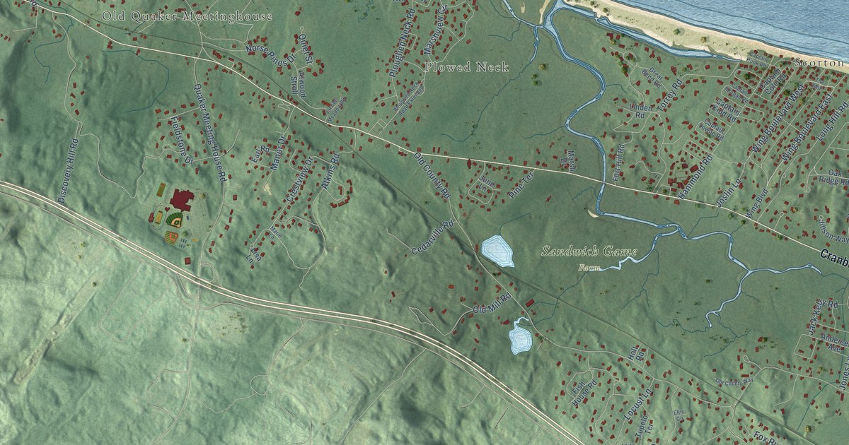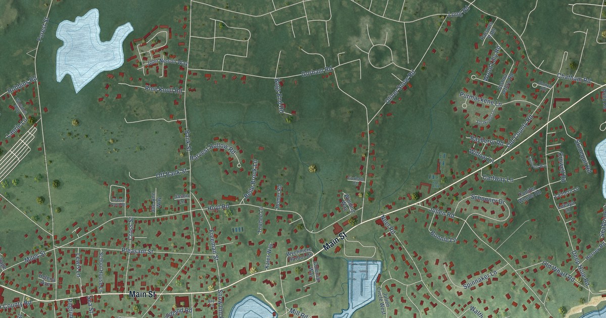
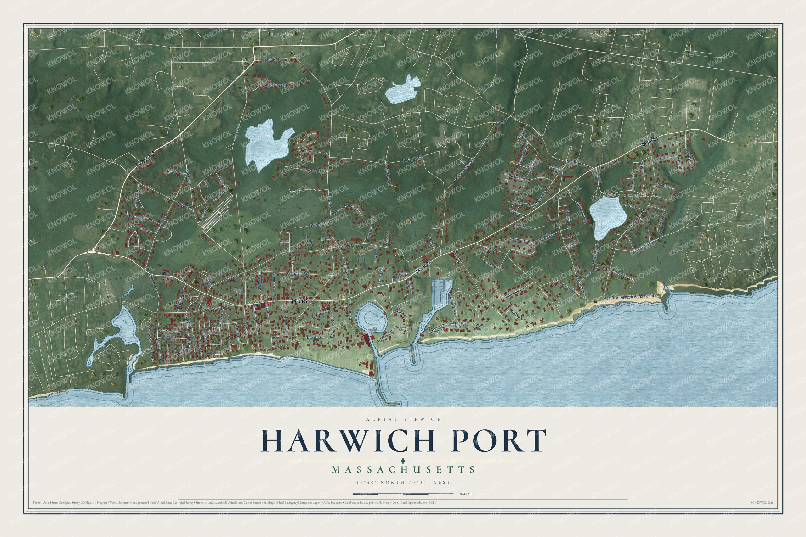
This beautifully detailed map of Harwich Port, Massachusetts was created in 2026 using aerial imagery combined with modern topographical, census, street and landmark data. It's a modern aerial view of Harwich Port in Barnstable County, Massachusetts, that combines modern data with a vintage aesthetic. The roads feature printed names, and if you look closely you can find your exact house accurately shown in its correct location.
Explore an aerial view of Harwich Port, Massachusetts
On this map you'll find South Harwich, Harwich, Sisson Road, Main Street, South Chatham Road, Bonnie Lane, Bank Street, Gorham Road, Forest Street, South Street, Uncle Venies Road, Deep Hole Road, and more. Each red shape is a building, so zoom in on the preview and look for yours.
Harwich Port is a community in Barnstable County. The Census Bureau counted 1,899 people here in 2020. The map prints the town name in its title panel, with the coordinates below it.
Take a closer look at the Harwich Port map
Names on this map
These names are printed on this map.
Places: South Harwich and Harwich.
Streets and roads: Sisson Road, Main Street, South Chatham Road, Bonnie Lane, Bank Street, Gorham Road, Forest Street, South Street, Uncle Venies Road, Deep Hole Road, Miles Street, Hoyt Road.
More street names, A to Z
Alden Street, Alonzo Road, Anns Way, Atlantic Street, Ayer Lane, Bayberry Road, Bay Lane, Bayview Road, Belle Brook Lane, Bob-White Lane, Bogs End Road, Braddock Lane, Brettwood Road, Cartway Lane, Chatham Road, Cliff Drive, Colonial Way, Conifer Woods Road, Cottage Avenue, Cross Street, Crowell Road, Davis Lane, Deer Run, Doane Road, Doane Way, Eastern Avenue, Edgewood Road, Englewood Drive, Freeman Street, Gilbert Lane, Gorham Court, Grassy Pond Road, Grove Street, Harbor Road, Harbor View Road, Harold Street, Harvest Hollow Road, Helena Avenue, Hersey Road, Hershey Road, Hiawatha Road, Hilltop Road, Homer Road, Jason Lane, Joe-Ann Way, John Nelson Way, Joshua Jethro Road, Julien Circle West, Julien Road, Kales Way, Kildee Road, Lake Drive, Lake Street, Lantern Lane, Laurie Lane, Lewis Lane, Lincoln Avenue, Long Road, Lower County Road, Lucaya Lane, Mill Road, Moody Road, Neel Road, Ocean Avenue, Off Bank Street, Old County Road, Old Tavern Lane, Old Wharf Road, Oliver Snow Road, Orton Road, Parallel Street, Park Place, Parsons Path, Pilgrim Road, Pine Knoll Road, Pine Street, Pleasant Street, Port Pines Road, Purmackene Lane, Quason Lane, Red River Beach Parking Lot, Red River Road, Robbins Road, Route 28, Saquatucket Bluffs Road, Saquatucket Point Road, Sarakumitt Lane, School House Lane, Schooner Drive, Sea Breeze Avenue, Seabrook Lane, Sea Pine Knoll, Seaport Lane, Sea Street, Sea Street Extension, Sequatton Lane, Signal Lane, Skinequit Pond Road, Skinequit Road, Snow Inn Road, Soundview Road, Spindrift Way, Spinnaker Lane, Sunrise Lane, Towhee Lane, Trout Brook Road, Union Street, Village Green, Wah Wah Taysee Road, Walther Road, Wheaton Way, Willow Lane, Winding Way, Woodland Road, Wood Lilly Road, Wooncepit Road, Wychmere Harbor Drive, Wychmere Road, Wyndemere Bluffs Road, Wyndemere Road, Zylpha Road.
See it on a wall
The Harwich Port map as a framed print. Swipe for more.


Created by KNOWOL in 2026. The buildings are small red shapes, the roads carry their printed names, and shaded relief shows the shape of the land. The title panel reads "AERIAL VIEW OF HARWICH PORT, MASSACHUSETTS" with 41°40' NORTH 70°04' WEST.
It suits a den, a classroom or a front hall, and it makes a gift for anyone with Harwich Port roots. Open the preview and find the block you know. See sizes and frames for the Harwich Port map.