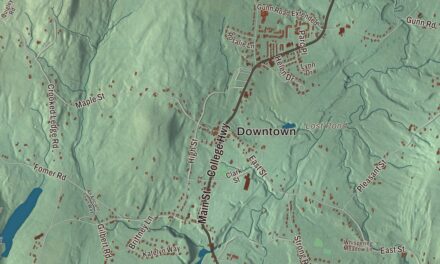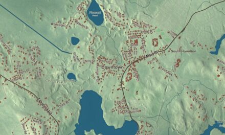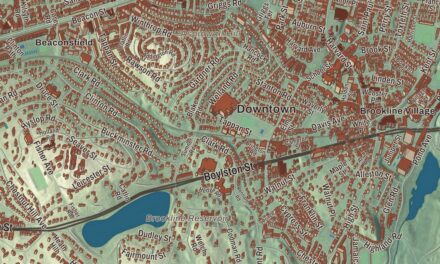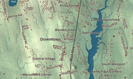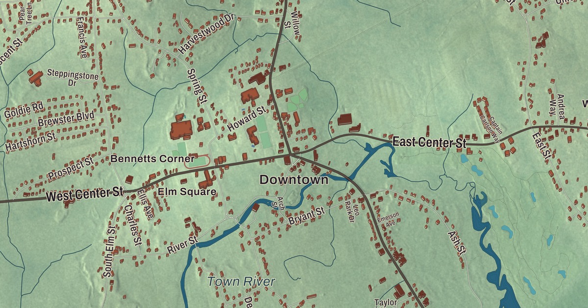
This aerial map of West Bridgewater, Massachusetts was created in 2026 using real geographic data to bring the town’s streets, buildings, neighborhoods, ponds and waterways, and terrain together in one highly detailed view. Look closer and you can pick out the familiar places that make West Bridgewater feel like home. Start with the street you know, then see how it connects to the rest of the West Bridgewater you call home. Click here to purchase a print of this map for your wall.
Explore an aerial view of West Bridgewater, Massachusetts
Start with Downtown and Manleys Corner. Follow West Center Street, North Main Street, South Main Street, East Center Street, Pleasant Street, and Maple Street across town. Then look outward toward Bennetts Corner, Brooks Place, Cochesett, Elm Square, and Matfield.
Mill Pond, Town River Reservoir, West Meadow Brook Pond, and Town River are all labeled on the map. Every one of those names is printed directly on the artwork, giving you plenty to explore.
The Town of West Bridgewater’s recorded history dates European settlement to 1651. West Bridgewater was incorporated as a town in 1822. The town remains part of Plymouth County today. Click the image below to see the area as it looked in 2026.
Take a closer look at the West Bridgewater map
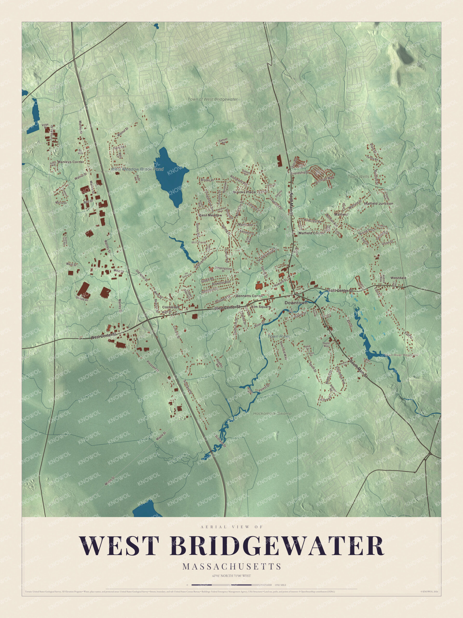
Click to explore a larger preview. The digital watermark does not appear on printed maps.
Names on this map
These names are printed on this map.
Places: Downtown, Manleys Corner, Mill Pond, Town River Reservoir, West Meadow Brook Pond, Town River, Town Wells, Hockomock Swamp, Town of West Bridgewater, Bennetts Corner, Brooks Place, Cochesett, Elm Square, Matfield, Matfield Corner, Matfield Junction, West Meadow and Westdale.
Streets and roads: West Center Street, North Main Street, South Main Street, East Center Street, Pleasant Street, Maple Street, Turnpike Street, Plain Street, Walnut Street, Manley Street, North Elm Street, East Street.
More street names, A to Z
Aldrich Road, Ames Drive, Andrea Way, Arch Street, Ash Street, Bc Way, Beacon Street, Bedford Street, Belmont Street, Bert Drive, Brewster Boulevard, Bryant Street, Caetano Circle, Captain Carlson Way, Charles Street, Clinton Road, Columbus Avenue, Copeland Street, Copper Beech Circle, Coweeset Lane, Crescent Street, Cyr Street, Daniel Terrace, Deerfield Way, Elizabeth Lane, Ellis Avenue, Emerson Avenue, Esther Drive, Farm Road, Forest Street, Francis Avenue, Friendship Drive, Gabriella Circle, God's Way, Goldie Road, Grant Street, Hartshorn Street, Harvestwood Drive, Highland Avenue, High Street, Howard Street, Jason Way, Keenan Street, Kenneth Street, Leo Park Drive, Liberty Street, Lincoln Street, Lisa Way, Maolis Avenue, Marisa Drive, Matfield Street, Milebrook Road, Molly Lane, Norman Avenue, Old Crescent Street, Old West Street, Orchard Drive, Pearl Road, Pear Tree Lane, Pebbles Road, Pinecrest Road, Pinetree Drive, Progressive Avenue, Prospect Street, Purchase Street, Rising Sun Lane, River Street, Roberts Way, Roosevelt Avenue, Samuel Avenue, Sandy Hill Road, Scotland Street, Sinnott Street, Snells Way, Soares Farm Road, South Elm Street, South Street, Spring Street, Steppingstone Drive, Stoney Road, Sunset Avenue, Tayler Avenue, Taylor Way, Teresa Road, Thayer Avenue, Tiffany Circle, Timothy Drive, Union Street, United Drive, Victorian Way, Volpe Drive, West Street, Willow Street, Woodrow Lane.
We designed the artwork at KNOWOL using West Bridgewater’s real streets, buildings, neighborhoods, ponds and waterways, and terrain, the town boundary, and the way buildings spread across the town. Then we chose the color, relief, lettering, and layout that make the map look great on the wall.
This beautifully detailed map of West Bridgewater makes an attractive addition to your office, library, or den and can even be used to teach children the geography and history of the area. When you’re done exploring, click here to get your copy of the West Bridgewater, Massachusetts map.

We made a map for every town and city in Massachusetts. Explore the complete Massachusetts map collection and find your town.