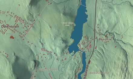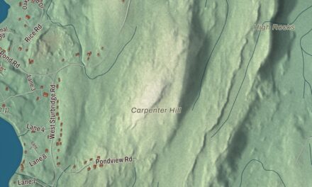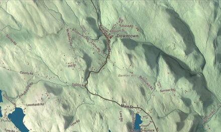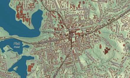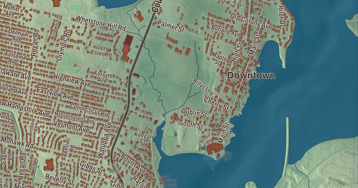
Somerset’s shore follows the Taunton River down to Mount Hope Bay, and this map takes in the whole town, from Pottersville and Somerset Reservoir to County Street, Riverside Avenue, Wilbur Avenue, Fox Hill and Conspiracy Island. Click here to purchase a print of this map for your wall.
Somerset is in Bristol County.
KNOWOL made this map in 2026 from public survey data and set it in the style of an old atlas. United States Geological Survey elevation data shapes the land, and the roads and the town line come from the Census Bureau. Somerset covers 12.0 square miles, and 3.9 square miles of that are water. The Taunton River forms its eastern border across from Fall River, Mount Hope Bay lies to the south, and the line with Bristol, Rhode Island, runs down the middle of the bay. Swansea is to the west and Dighton to the north. Somerset had 18,303 people at the 2020 census.
Bowers Shore
English colonists first settled here in the 1670s on the Shawomet lands, after the area was bought from Native Americans and became part of Swansea. The Town of Somerset’s recorded history, in the Secretary of the Commonwealth’s list, dates European settlement to 1677, and Somerset was incorporated as a town in 1790. It took its name from Somerset Square in Boston, which was named for the English county of Somerset. The old village on the Taunton River was known early on as Bowers Shore, for Jonathan Bowers, who started its first shipyard in 1705. It grew into a port for foreign goods and a whaling center until the mid-1700s, and it was home to shipbuilders and ship captains. The village also had a pottery works, and when the town was incorporated it became the town center.
After the War of 1812, Somerset was one of the country’s chief distribution points. It became a major coal port in 1872, and a large cannery ran here in the early twentieth century. As Fall River’s industry grew it took in much of Somerset’s, and the town became more of a suburb; its population even grew during the Great Depression as people moved out from Fall River. The Somerset Village Historic District, on the west bank of the river near Somerset Reservoir, keeps houses from about 1723 to the mid-1800s, the Greek Revival Baptist Church of 1804, St. Patrick’s Catholic Church of 1873, and buildings left from the old shipyards at either end of the village.
Bridges to Fall River
Slade’s Ferry crossed the river to Fall River from the late 1700s. The Slade’s Ferry Bridge was built in 1875, a swing truss bridge with a railroad on its upper deck and a road below, starting where Riverside Avenue, Brayton Avenue and Wilbur Avenue meet. It came down in 1970, and two large sets of power lines still cross the river along its path. The Brightman Street Bridge opened just to the north in 1908, the Braga Bridge carries Interstate 195, and the Veterans Memorial Bridge, dedicated on September 11, 2011, carries U.S. Route 6 and Route 138. The Taunton River is the longest coastal river in New England without dams, and it was named a National Wild and Scenic River in 2009.
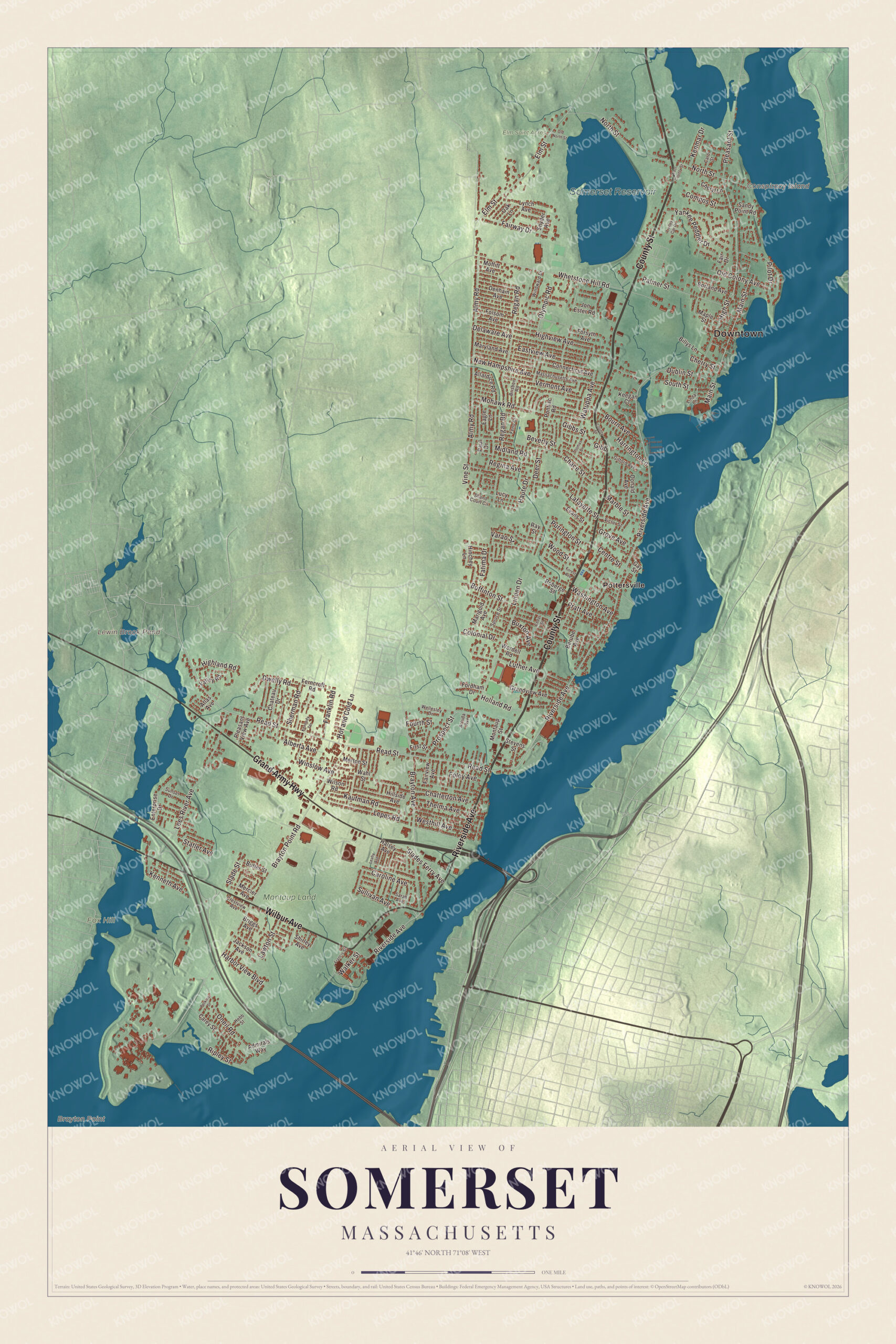
Click to explore a larger preview. The digital watermark does not appear on printed maps.
Names on this map
These names are printed on this map.
Places: Downtown, Brayton Point, Conspiracy Island, Fox Hill, Lewin Brook Pond, Somerset Reservoir, Elm Saint Acres, Montaup Land and Pottersville.
Streets and roads: County Street, Grand Army Highway, Riverside Avenue, Wilbur Avenue, Read Street, Elm Street, Dublin Street, Midland Road, Pilot Drive, Regina Avenue, Fatima Drive, Brayton Point Road.
More street names, A to Z
Admirals Way, Alberta Avenue, Allardice Road, Almy Road, Arruda Avenue, Atlas Avenue, Berube Avenue, Beverly Street, Billys Lane, Borland Avenue, Bourn Avenue, Brayton Avenue, Briggs Avenue, Brisbon Road, Buffinton Street, Butler Street, Buxton Avenue, Carey Street, Caroline Avenue, Carol Street, Cedar Street, Centre Street, Chace Street, Chateau Drive, Chatterton Avenue, Cherry Street, Cheryl Lane, Colonial Drive, Compos Street, Connecticut Avenue, Crestview Avenue, Deer Street, Delaware Avenue, Denham Avenue, Donald Avenue, Dwelly Road, Eagle Lane, East County Street, Eastview Avenue, Enterprise Drive, Evans Street, Fair Drive, Fairview Avenue, Fairway Drive, Feno Court, Ferncroft Road, First Street, Foley Avenue, Folsom Avenue, Fordham Drive, Forest Avenue, Forsyth Avenue, Fourth Street, Francis Street, Franklin Road, Gay Street, Gibb, Gibbs Street, Gifford Avenue, Grandview Avenue, Grove Avenue, Halsey Avenue, Harbor View Boulevard, Harrington Lane, Haute Drive, Hebb Street, Highland Road, High Street, Highview Avenue, Hillside Avenue, Hinchey Lane, Holland Road, Hot and Cold Lane, Jackson Avenue, Jon Ester Road, Kaufman Road, Keegan Court, Kenmar Drive, Kennedy Terrace, Kenneth Avenue, Lafayette Street, Lawton Street, Leahy Avenue, Lees River Avenue, Lepes Road, Linda Lane, Linden Drive, Lucy Lane, Luther Avenue, Lynch Avenue, Main Street, Maple Street, Marble Street, Marigold Avenue, Maryland Avenue, Massachusetts Avenue, Mercier Avenue, Merton Street, Moffitt Avenue, Mohawk Road, Montaup Street, New Hampshire Avenue, North Street, Oak Lane, Old Colony Avenue, Old North Street, Olympic Road, Oneil Road, Palmer Street, Paul Drive, Perkins Street, Pleasant Street, Pleasant View Avenue, Pontiac Road, Pratt Avenue, Prospect Street, Purington Street, Ray Street, Regan Road, Ripley Street, Roberge Street, Sandy Point Road, Sarah Avenue, Shand Court Circle, Sherman Road, Shirley Avenue, Slades Ferry Avenue, Slade Street, Snyder Avenue, South Street, Spruce Street, Statler Avenue, Stevens Street, Sullivan Avenue, Sunset Drive, Thelma Avenue, Thomas Drive, Trolley Car Drive, Valley Road, Varao Street, Vermont Avenue, Victor Street, Vine Street, Wahl Street, Walker Street, Washington Avenue, Watuppa Avenue, Wellesley Drive, Westhill Avenue, Whetstone Hill Road, Wilson Road, Windward Drive, Winslow Avenue, Wood Street, Wordell Road, Yankee Peddler Drive.
See it on a wall
The Somerset map as a framed print. Swipe for more.


Around the map
Start with Pottersville. Follow County Street, Grand Army Highway, Riverside Avenue, Wilbur Avenue, Read Street and Elm Street across town. Conspiracy Island, Lewin Brook Pond, Somerset Reservoir and Fox Hill are all printed on the map. County Street is Route 138, the town’s main north and south road, and it passes Somerset Berkley Regional High School, which opened in its new building in 2014. The school is known locally for two former players who went on to play professional baseball, Greg Gagne and Jerry Remy. Power generation became the town’s major industry, with the Montaup Electric Company plant upriver from 1923 and the Brayton Point Power Station at the southern tip from 1963. Brayton Point was the largest coal-fired station in New England; it closed in 2017, and its two cooling towers came down in 2019.
Somerset is also the birthplace of Clifford Milburn Holland, born here in 1883. He became the first chief engineer of the vehicular tunnel under the Hudson River between New York and New Jersey, and the project was renamed the Holland Tunnel in his memory. When it opened, it was the first underwater vehicular tunnel in the United States.
The Somerset map makes a good addition to an office, library or den, and it can help teach children the geography and history of a river town on Mount Hope Bay. It’s made for people who call Somerset home, from Pottersville to Brayton Point, and it shows the town as it looks today. Zoom in on the preview above to explore the details, then click here to get your copy of the Somerset, Massachusetts map.

Sources
- Somerset, Massachusetts, Wikipedia
- Somerset Village Historic District, Wikipedia
- Slade’s Ferry Bridge, Wikipedia
- Brayton Point Power Station, Wikipedia
- Taunton River, Wikipedia
- Clifford Milburn Holland, Wikipedia
- City and Town Incorporation and Settlement Dates, Secretary of the Commonwealth of Massachusetts (archived copy)