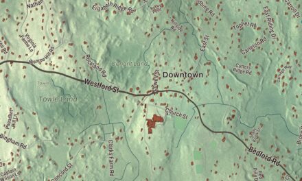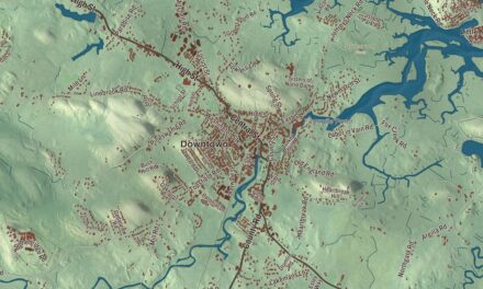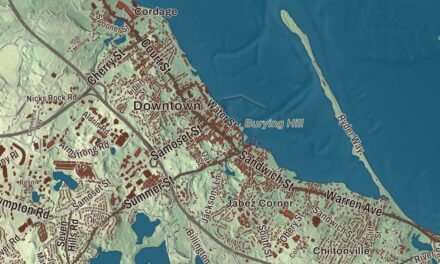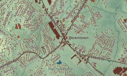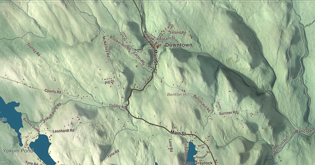
Becket people know their town by its summers: dancers on the hill at Jacob’s Pillow, summer camps, and the Appalachian Trail coming over Becket Mountain. This map prints Main Street, Chester Road, Otis Road, Jacobs Ladder Road, Jesters Lane and Bonny Rigg Hill Road, with Center Pond, Yokum Pond, Buckley Dunton Lake, the Palmer Brook Reservoir, Becket Mountain, Benton Hill and Cherry Hill. Click here to purchase a print of this map for your wall.
Becket is in Berkshire County, on its eastern border where Hampshire and Hampden counties meet it.
KNOWOL made this map in 2026 from public survey data and gave it the look of an old atlas. The shaded mountains come from United States Geological Survey elevation data, and the roads and the town line come from the Census Bureau. Becket sits in the southern Berkshires, flanked by Becket Mountain and Walling Mountain on the west and Mount Gobble on the east, and its 47.8 square miles held 1,931 people at the 2020 census.
Township Number Four
The Town of Becket’s recorded history dates European settlement to 1740, in the Secretary of the Commonwealth’s list, and Becket was incorporated as a town in 1765. Until then it was Township Number Four. The name came from Sir Francis Bernard, the royal governor who approved the incorporation. Bernard was a close friend of Lord Barrington, who owned an estate called Beckett in Shrivenham, then in Berkshire, England, and the town page says Bernard’s happy holidays there led him to give the township its name. The town remains part of Berkshire County today. Early Becket tried something new with its church: rather than tax everyone for it, the town set up a church society that its members supported on their own, and the town page calls Becket one of the first frontier communities to use that model. Becket people also looked west. On September 11, 1810, sixteen men met at Thatcher Conant’s house in Becket to plan a purchase of land in Ohio, and in 1811 they founded the village of Windham, Ohio.
From its earliest days Becket worked its woods and quarries for lumber and stone, and later it added dairy farming, baskets and silk. After a flood in the early 1900s most of those industries died out, and Becket became better known as a resort town with an artists’ community. The Becket Arts Center was founded by the pianist Emanuel Levenson and the painter Fay Kleinman. The Becket Athenaeum, the library Becket shares with Washington, is housed in the old North Congregational Church, a Greek Revival building that has lost its steeple but kept its wooden walls.
Jacob’s Pillow
Jacob Carter III settled a hilltop farm in 1790. The zigzagging road up to it reminded people of the Bible story and became known as Jacob’s Ladder, and a pillow-shaped rock gave the farm its name, Jacob’s Pillow. Jacobs Ladder Road, printed on the map, carries the same old name. In 1931 the modern dance pioneer Ted Shawn bought the farm as a dance retreat, and the men of his all-male company built many of its buildings themselves. When debts nearly forced a sale, the British ballet stars Alicia Markova and Anton Dolin helped raise $50,000 to buy the property and build a theatre, and the summer festival went on with Shawn as its director. Martha Graham and Jack Cole got their start with Shawn, and Alvin Ailey, José Limón and Mark Morris are among the artists the Pillow has helped since. In 2003 the campus was named a National Historic Landmark District, which its page says no other dance organization in the country has received, and in 2011 the Pillow was named a recipient of the 2010 National Medal of Arts. Its Doris Duke Theatre burned in 2020; a new theatre, twice the size, was planned to open on July 9, 2025. The outdoor Henry J. Leir Stage puts on free shows with the Berkshire hills behind the dancers.
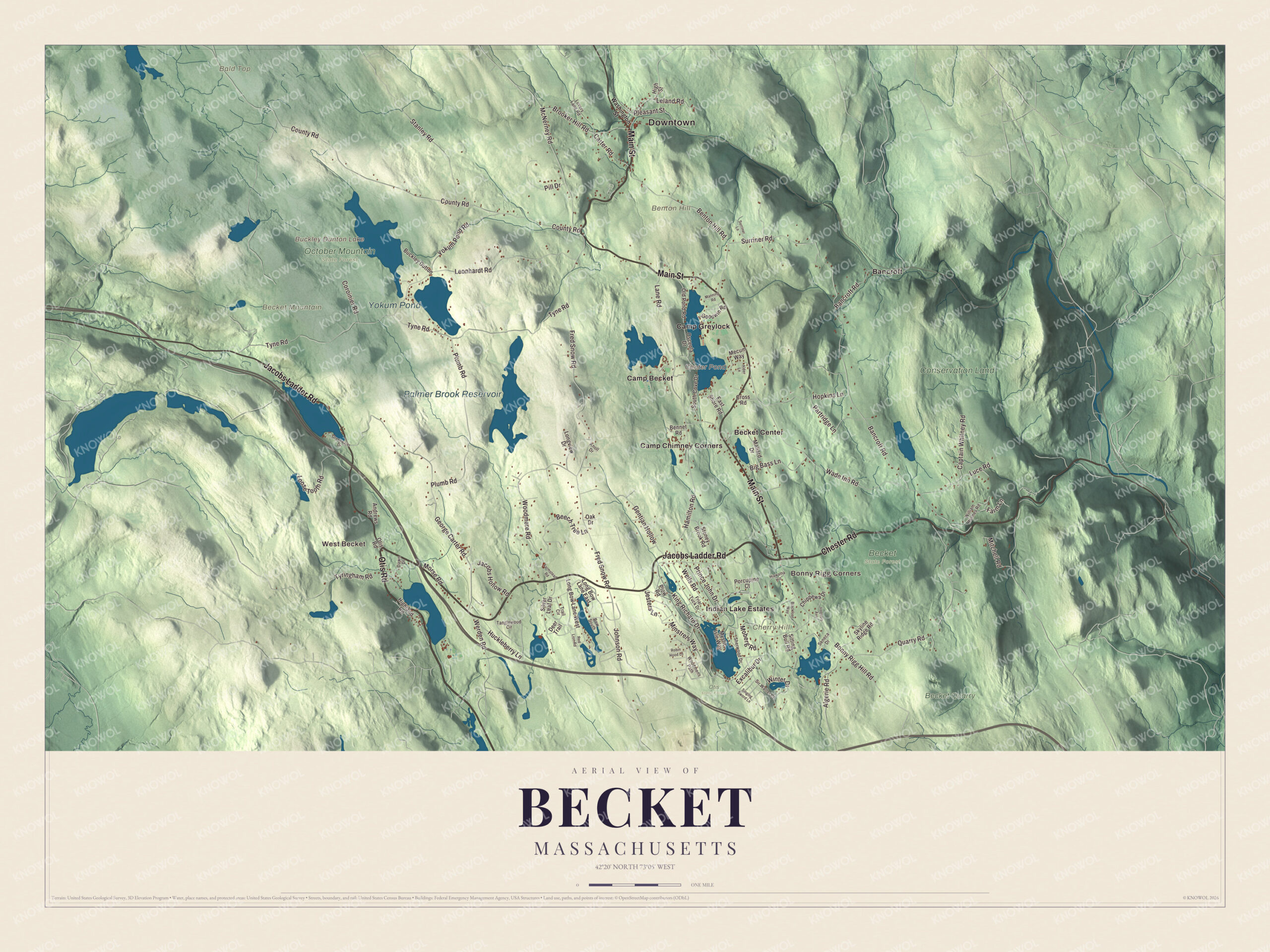
Click to explore a larger preview. The digital watermark does not appear on printed maps.
Names on this map
These names are printed on this map.
Places: Downtown, West Becket, Bonny Rigg Corners, Bald Top, Becket Mountain, Benton Hill, Cherry Hill, Buckley Dunton Lake, Center Pond, Palmer Brook Reservoir, Yokum Pond, Becket State Forest, Becket Quarry, Conservation Land, October Mountain State Forest, Otis State Forest, Bancroft, Becket Center, Camp Becket, Camp Chimney Corners, Camp Greylock and Indian Lake Estates.
Streets and roads: Chester Road, Main Street, Otis Road, Jacobs Ladder Road, Jesters Lane, Bonny Rigg Hill Road, Bancroft Road, King Richard Drive, Brooker Hill Road, Wells Road, Fred Snow Road, Tyne Road.
More street names, A to Z
Alder Lane, Algerie Road, Andrews Road, Beech Tree Lane, Bennet Road, Benton Hill Road, Big Bass Lane, Blackfoot Way, Bow South, Buckley Dutton, Captain Whitney Road, Carter Road, Chippewa Drive, Coroinier Road, County Road, Cross Road, Dawn Drive, Deer Trail, East Shore Road, Excalibur Drive, Farm Lane, Farmstead Road, Friar Tuck Drive, Gentian Hollow, George Carter Road, Goodwin Road, Greenwater Drive, Hamilton Road, Hiawatha Hill, Highland Road, High Street, Hopkins Lane, Huckleberry Lane, Iroquois Avenue, Jacobs Hollow Road, Johnson Road, Knoll Drive, Lane Road, Leland Road, Leonhardt Road, Long Bow Lane East, Long Bow Lane West, Longview Drive, Loose Tooth Road, Lovers Lane Road, Luce Road, Mallard Drive, Manning Road, McNerney Road, Mecum Way, Minstrels Way, Mitchell Road, Moberg Road, Morse Road, Mystic Isle Way, Oak Drive, Old Pond Road, Osceola Drive, Partridge Lane, Pill Drive, Pleasant Street, Plow Road, Plumb Road, Porcupine Court, Prince John Drive, Quarry Road, Red Lion Road, Robin Hood Lane, Seneca Drive, Sherwood Drive, Silver Leaf Drive, Singing Sword Lane, Sir Walter Court, Sitting Bull Road, Skyline Ridge Road, South Cove Drive, Stanley Road, Stoney Brook Road, Surriner Lane, Surriner Road, Tanglewood Circle, Trail Circle, Tyringham Road, Wade Inn Road, Washington Street, Werden Road, William Holmes Road, Winter Drive, Woodmens Path, Woodmere Road, Yokum Pond Road.
See it on a wall
The Becket map as a framed print. Swipe for more.


Lakes, camps and trails
U.S. Route 20 is Becket’s main east-west road, and Route 8 runs with it for 5 miles from the center of town; most people live around Robin Hood Lake, south of that stretch. The West Branch of the Westfield River follows much of the Middlefield line, and the Palmer Brook Reservoir sits among the town’s marshy brooks and ponds. To the west, the Appalachian Trail climbs over Becket Mountain on its way from Tyringham to Washington, and the southeastern corner of October Mountain State Forest reaches into town. The town page lists Camp Becket and Camp Greylock among its points of interest. Camp Becket for boys dates to 1902, and Camp Greylock, founded by three Mason brothers, opened in 1916; its page calls it the oldest continuously operating private all-boys’ summer camp in Massachusetts.
Start in West Becket, then follow Main Street, Chester Road, Otis Road, Jacobs Ladder Road, Jesters Lane and Bonny Rigg Hill Road out toward Bonny Rigg Corners, Bancroft and Becket Center. Buckley Dunton Lake, Center Pond, the Palmer Brook Reservoir, Yokum Pond, the Conservation Land, Becket Mountain, Benton Hill and Cherry Hill are all printed on the map.
This Becket map makes a lovely addition to an office, library or den, and it can help teach children the geography and history of a hill town where American dance found a home. It’s made for people who call Becket home, from West Becket to Becket Center, and it shows the town as it looks today. Zoom in on the preview above to explore the details, then click here to get your copy of the Becket, Massachusetts map.

Sources