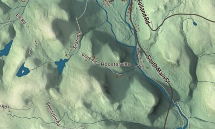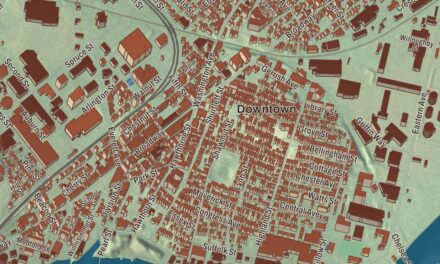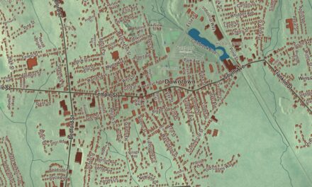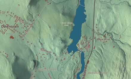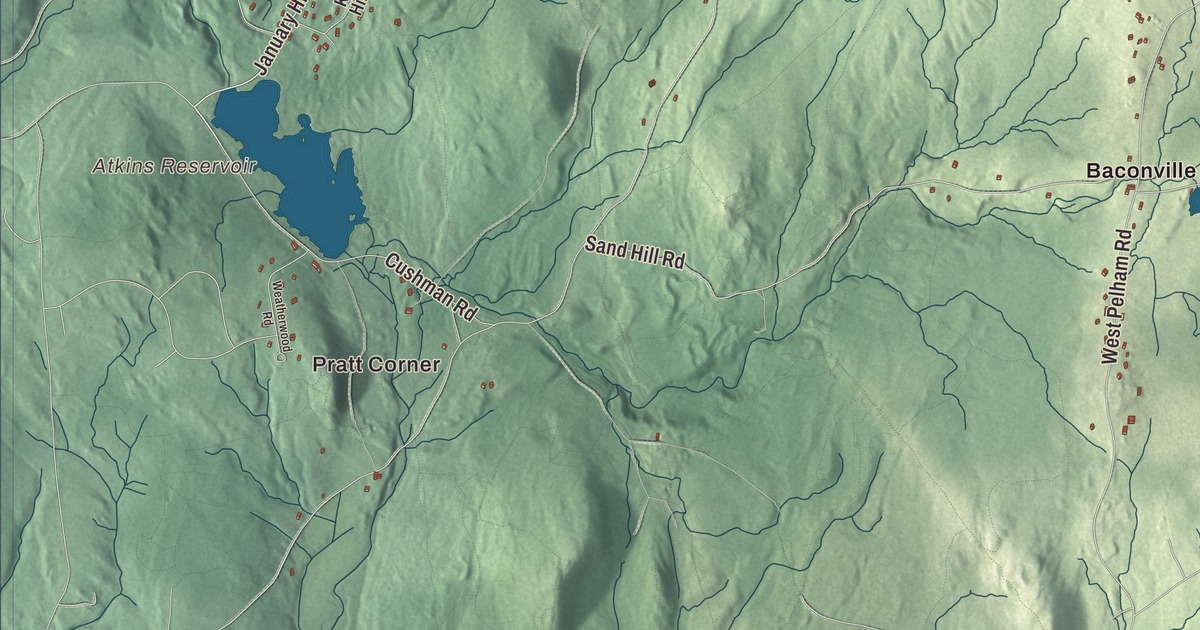
Come up Leverett Road or Cooleyville Road and you’re in Shutesbury, where this map spreads the town out from Pratt Corner and Locks Village to Lake Wyola Reservoir, Brushy Mountain and the long reach of Daniel Shays Highway. Click here to purchase a print of this map for your wall.
Shutesbury is in Franklin County.
KNOWOL made this map in 2026 from public survey data, and drew it to read like a page from an old atlas. United States Geological Survey elevation data gives the ridges their shape, and the roads and the town line come from the Census Bureau. Shutesbury covers 27.2 square miles of hills, with a ridge about 1,200 feet high through its center and a southwestern corner that slopes toward the Connecticut River. It sits at the north end of the Quabbin Reservoir’s western branch, and most of the eastern third of the town belongs to the Quabbin Reservation. Shutesbury had 1,717 people at the 2020 census.
Difficult land
According to the Indian Land Archives of Springfield, Nipmuc towns along the nearby rivers called the country around today’s South Shutesbury “Sanakkamak,” meaning difficult land, for its many ponds, swamps and streams running down toward the steep slopes of Mount Toby and Brushy Mountain. The same archives say the land was used for hunting, fishing, gathering chestnuts and berries, and cutting timber. When the sachems who held rights here deeded it away, they wrote in a clause keeping the right for themselves and their descendants to hunt, fish and take wood, and asking the English to be friendly and neighborly toward them.
English colonists arrived in 1735, and the place was first called Road Town, because their original request to Boston had been for a road through a roadless area. The Town of Shutesbury’s recorded history, in the Secretary of the Commonwealth’s list, dates European settlement to 1735, and Road Town was incorporated as Shutesbury in 1761. The new name honored Samuel Shute, who was appointed governor of Massachusetts and New Hampshire in 1716. Each family was required at first to clear four acres of forest and plant grass for grazing. After the Revolution the hills were cut over and sheep grazing took hold for a time, and the land grew back into forest only after the Civil War.
A town that keeps the dark
Many residents work to keep Shutesbury’s rural character, and it’s one of very few towns with real night darkness, since it has gone without street lighting. Part of the eastern hills is protected in Shutesbury State Forest, and the West Branch of the Swift River still runs through town toward the reservoir. The tiny M.N. Spear Library, built in 1902, had only 768 square feet and no running water. After years of effort, a grant and town funding, the new Shutesbury Public Library opened on January 10, 2026. The town library lends more than books: members can also borrow kayaks, life vests and paddles to use on Lake Wyola.
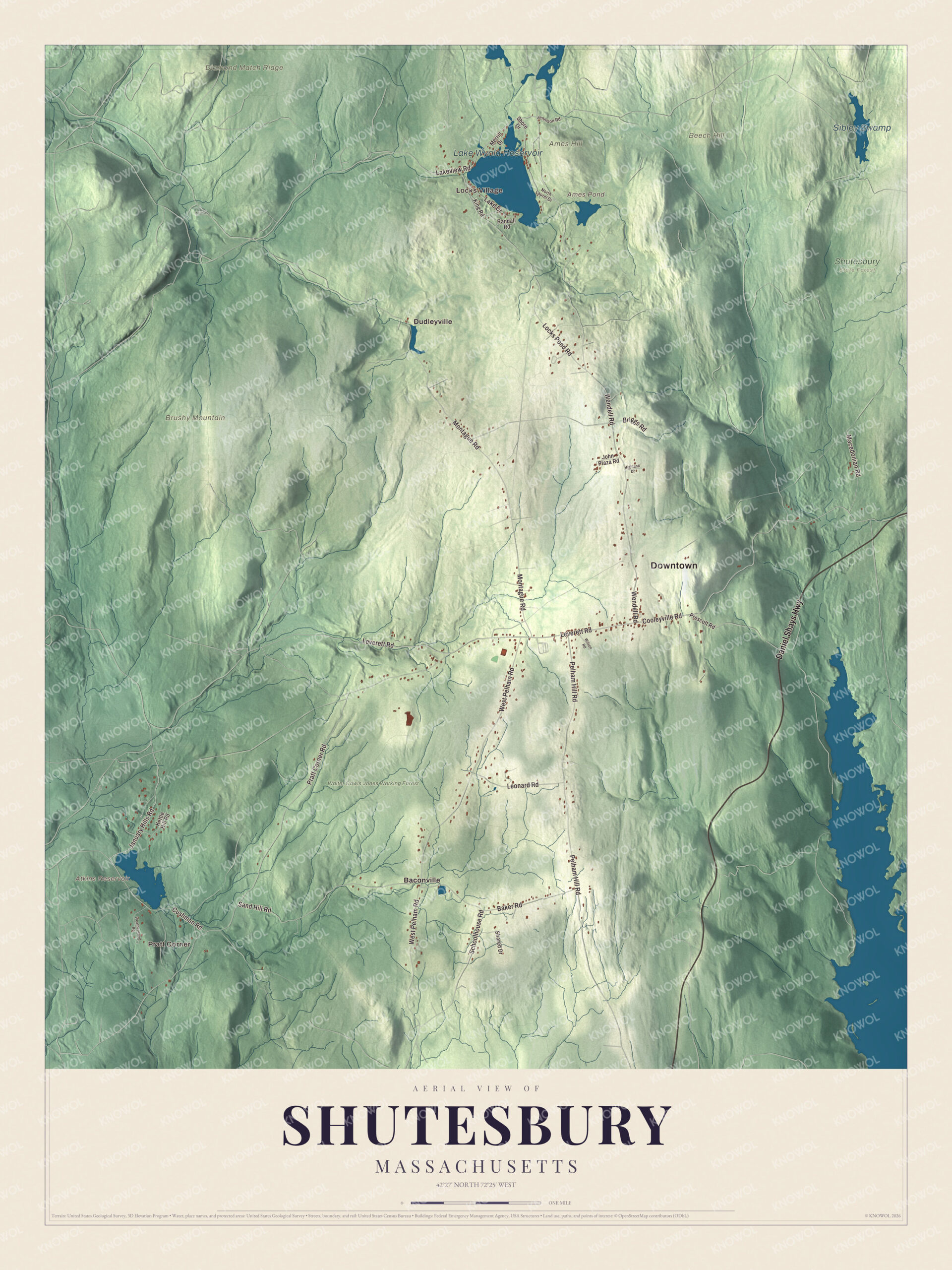
Click to explore a larger preview. The digital watermark does not appear on printed maps.
Names on this map
These names are printed on this map.
Places: Downtown, Pratt Corner, Locks Village, Ames Hill, Beech Hill, Brushy Mountain, Diamond Match Ridge, Ames Pond, Atkins Reservoir, Lake Wyola Reservoir, Sibley Swamp, Shutesbury State Forest, Walter Cowls Jones Working Forest, Baconville and Dudleyville.
Streets and roads: Daniel Shays Highway, January Hills Road, Cooleyville Road, Lakeview Road, Leverett Road, Wendell Road, Pratt Corner Road, West Pelham Road, Montague Road, Pelham Hill Road, Locks Pond Road, Sand Hill Road.
More street names, A to Z
Baker Road, Briggs Road, Cushman Road, Highland Drive, Jennison Road, John Plaza Road, Kettle Hill Road, King Road, Lake Drive, Leonard Road, Macedonian Road, Merrill Drive, North Laurel Drive, Prescott Road, Randall Road, Schoolhouse Road, Shared Drive, Shore Drive, Weatherwood Road, Wilson Road.
See it on a wall
The Shutesbury map as a framed print. Swipe for more.


Around the map
Start with Pratt Corner. Follow Daniel Shays Highway, January Hills Road, Cooleyville Road, Lakeview Road, Leverett Road and Wendell Road across town. Then look outward toward Locks Village, Baconville and Dudleyville. Ames Pond, Atkins Reservoir, Lake Wyola Reservoir, Sibley Swamp, Walter Cowls Jones Working Forest, Ames Hill, Beech Hill and Brushy Mountain are all printed on the map. Lake Wyola, in the town’s northwest corner, was once called Locks Pond. A dam finished in 1883 doubled it from 65 acres to 130, to power the mills on the Sawmill River below. In 1997 the state bought Lake Wyola Park on its northwest shore and made it the Carroll A. Holmes Recreation Area, named for a former Shutesbury selectman, with a beach, picnic grounds and trails.
The Shutesbury map makes a fine addition to an office, library or den, and it can help teach children the geography and history of a quiet hill town. It’s made for people who call Shutesbury home, from Pratt Corner to Locks Village, and it shows the town as it looks today. Zoom in on the preview above to explore the details, then click here to get your copy of the Shutesbury, Massachusetts map.

Sources