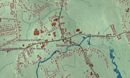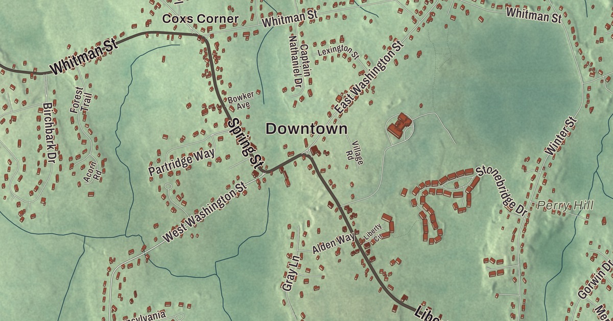
Hanson is cranberry country, with old bogs out at Burrage, the twin lakes at Monponsett and Main Street running through South Hanson. This map prints Main Street, Liberty Street, Maquan Street, County Road, Spring Street and Indian Head Street, with Oldham Pond, Chaffin Reservoir, Bonney Hill and Monument Island. Click here to purchase a print of this map for your wall.
Hanson is in Plymouth County.
KNOWOL made this map in 2026 from public survey data and set it in the style of an old atlas. The rise and fall of the land comes from United States Geological Survey elevation data, and the Census Bureau supplied the streets and the town line. Hanson covers 15.7 square miles about 20 miles south of Boston, one of the inland towns of the South Shore, and it had 10,639 people at the 2020 census. Like many towns in central Plymouth County it’s dominated by lakes, rivers and swamps, and the town page says the land is mostly flat.
The west parish of Pembroke
The Town of Hanson’s recorded history, in the Secretary of the Commonwealth’s list, dates European settlement to 1632, when the land was the western parish of Pembroke. Hanson was incorporated as a town in 1820. It was named for Alexander Contee Hanson, a Maryland publisher and United States senator whom the town page calls a champion of free speech and a free press. In 1812, four days after the War of 1812 began, a mob angered by his newspaper’s attacks on the administration wrecked his Baltimore office. The town remains part of Plymouth County today.
Early Hanson lived by farming, bog iron and quarrying, and mills went up along its rivers in the 1800s. The Indian Head River begins on the line between Hanson and Hanover, where Indian Head Brook meets the Drinkwater River. In 1812 James Reed built a gristmill on the Hanson side of the river and then a dam for a tack and nail factory, and the dam where State Street crosses the river marks the site of the Ezra Phillips and Sons tack factory. Into the 1900s the Postal Service kept offices at Hanson Center, North Hanson, Bryantville, Monponsett and South Hanson.
Where Ocean Spray began
The town page says Ocean Spray was first started by several bogs in Hanson. The cooperative’s own page tells it this way: in 1930 three growers, Marcus L. Urann, Elizabeth F. Lee and John C. Makepeace, formed Cranberry Canners, Inc. and based it in Hanson. Urann was the first grower to can cranberry sauce. The group brought out Cranberry Juice Cocktail in 1933, took the Ocean Spray name in 1957 and kept its headquarters in Hanson until the move to Plymouth in the 1970s. Today the town is mostly homes, with some farming and cranberry growing still going on.
South Hanson, along Route 27, was the center of town in the industrial era and held the original Ocean Spray facility. The neighborhood called Burrage takes its name from Albert Burrage, an industrialist whose Atlantic Dyestuff Company opened its first factory where Hawks Avenue runs now. About half of the 1,625 acres of the Burrage Pond Wildlife Management Area lie in Hanson and half in Halifax, swampy land, old cranberry bogs and cedar forest open for hiking and birding. Monponsett, on the southern line with Halifax, has its own post office and takes its name from the Monponsett twin lakes along the border.
Hills, ponds and neighbors
The highest ground in Hanson is Bonney Hill, at 152 feet. From 1919 to 1992 it held the Plymouth County Hospital, a tuberculosis sanatorium, which was torn down in 2017. Oldham Pond, 232 acres, lies on the Pembroke line, and Monument Island is the largest of its three islands. The heavyweight boxing champion Rocky Marciano had a house on Main Street in South Hanson. Hanson’s notable people also include Albert C. Read, the Navy officer who commanded and navigated the NC-4, which the town page calls the first aircraft to complete a transatlantic flight, in 1919, and the tap dancer Jimmy Slyde.
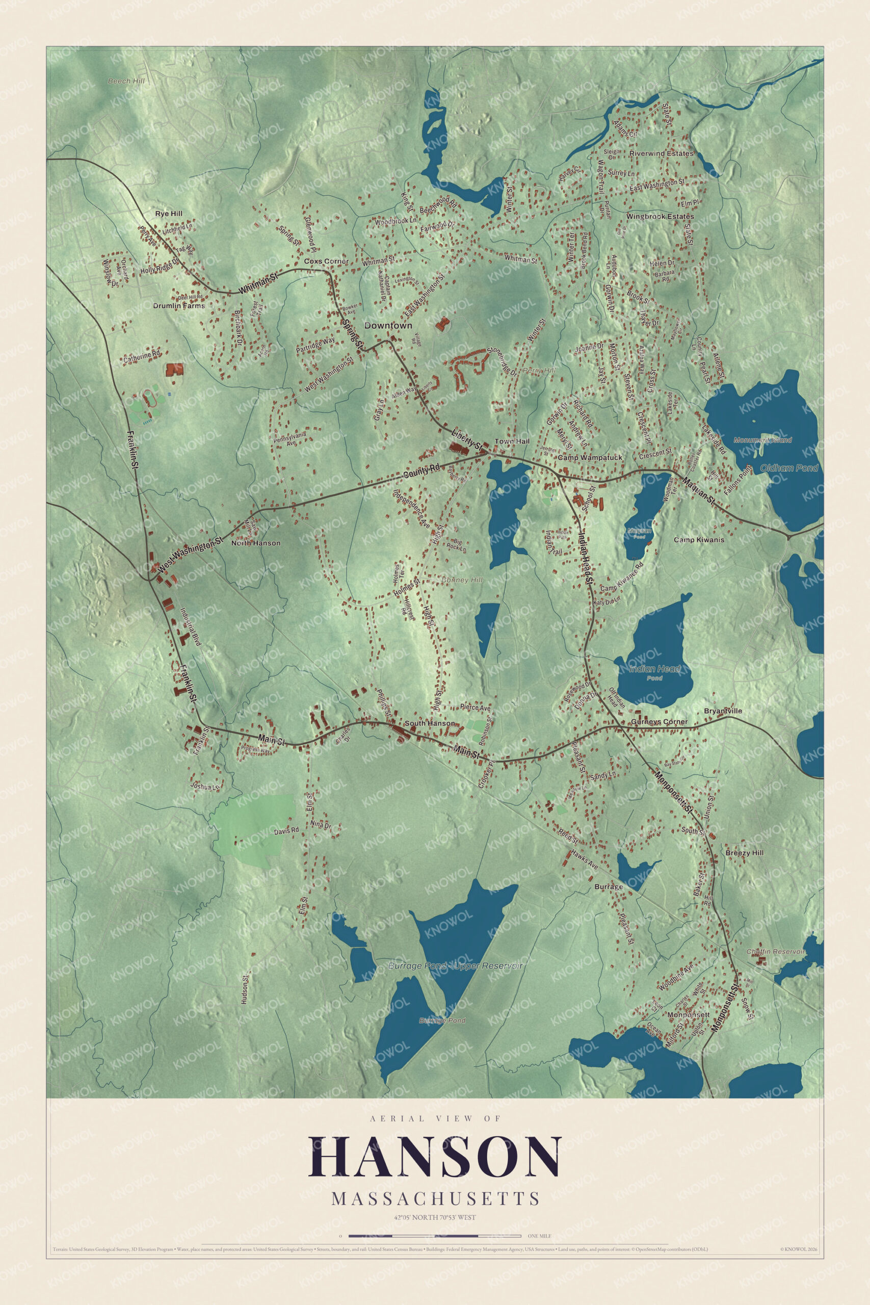
Click to explore a larger preview. The digital watermark does not appear on printed maps.
Names on this map
These names are printed on this map.
Places: Downtown, Monponsett, Riverwind Estates, Beech Hill, Bonney Hill, Monument Island, Perry Hill, Burrage Pond, Chaffin Reservoir, Oldham Pond, Burrage Pond - Upper Reservoir, Indian Head Pond, Maquan Pond, Breezy Hill, Bryantville, Burrage, Camp Kiwanis, Camp Wampatuck, Coxs Corner, Drumlin Farms, Gurneys Corner, North Hanson, Rye Hill, South Hanson, Town Hall and Wingbrook Estates.
Streets and roads: Liberty Street, Maquan Street, County Road, Spring Street, Indian Head Street, Main Street, Whitman Street, West Washington Street, Monponsett Street, Franklin Street, High Street, Union Street.
More street names, A to Z
Acorn Road, Adams Circle, Alden Way, Andrew Lane, Arlene Street, Audubon Lane, Azalea Way, Baker Street, Barbara Road, Bayberry Road, Bay State Circle, Beechwood Road, Big Rock Lane, Birchbark Drive, Bowker Avenue, Brook Bend Road, Brook Street, Camp Kiwanee Road, Captain Nathaniel Drive, Catherine Road, Charles Drive, Charles Street, Country Lane, Crescent Place, Crescent Street, Crooker Place, Cross Street, Davis Road, Deer Hill Road, Donna Drive, East Washington Street, Elm Place, Elm Street, Fairwood Drive, Fallons Point, Forest Trail, Glenwood Place, Gorwin Drive, Gray Lane, Harvey Circle, Hawks Avenue, Helen Drive, Hillcrest Road, Hill Road, Hill Street, Holly Ridge Drive, Holmes Street, Holmes Terrace, Hudson Street, Independence Avenue, Indian Path, Indian Trail, Industrial Boulevard, Jay Street, Jerrold Street, Joanne Drive, Joshua Lane, Katy Did Lane, King Street, Lakeside Road, Lakeside Terrace, Leon Court, Lexington Street, Liberty Circle, Litchfield Lane, Mayflower Circle, Meadow Lane, Meryl Street, Milford Street, Mill Street, Morton Street, Nina Drive, Ocean Avenue, Off Indian Head, Old Pine Drive, Orchard Avenue, Partridge Way, Pearl Street, Pennsylvania Avenue, Perry Avenue, Phillips Street, Pierce Avenue, Pleasant Street, Progress Way, Puritan Drive, Reed Street, Richard Road, Robinson Street, Roller Coaster Road, Rosewood Drive, Sandy Lane, Saw Mill Lane, School Street, Sleigh Drive, Snow Street, South Street, State Street, Steven Street, Stonebridge Drive, Surrey Lane, Tag Way, Thayer Drive, Upton Street, Village Road, Wagon Trail, White Street, Winslow Drive, Winter Street, Winter Terrace, Woodbine Avenue, Woodbrook Lane, Woodman Terrace.
See it on a wall
The Hanson map as a framed print. Swipe for more.


Around the map
Start with Monponsett, then follow Liberty Street, Maquan Street, County Road, Spring Street, Indian Head Street and Main Street across town. Look outward toward Breezy Hill, Bryantville, Burrage, Coxs Corner and Drumlin Farms. Chaffin Reservoir, Oldham Pond, Beech Hill, Bonney Hill, Perry Hill, Monument Island, Burrage Pond and Burrage Pond – Upper Reservoir are all printed on the map, and every one of those names is right there on the artwork.
The Hanson map makes a fine addition to an office, library or den, and it can help teach children the geography and history of a South Shore cranberry town. It’s made for people who call Hanson home, from Monponsett to Bryantville, and it shows the town as it looks today. Zoom in on the preview above to explore the details, then click here to get your copy of the Hanson, Massachusetts map.

Sources
- Hanson, Massachusetts, Wikipedia
- Alexander C. Hanson, Wikipedia
- Ocean Spray (cooperative), Wikipedia
- Indian Head River, Wikipedia
- Burrage Pond Wildlife Management Area, Wikipedia
- Oldham Pond (Massachusetts), Wikipedia
- City and Town Incorporation and Settlement Dates, Secretary of the Commonwealth of Massachusetts (archived copy)