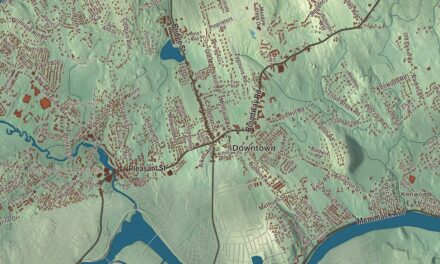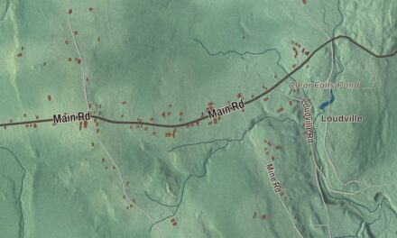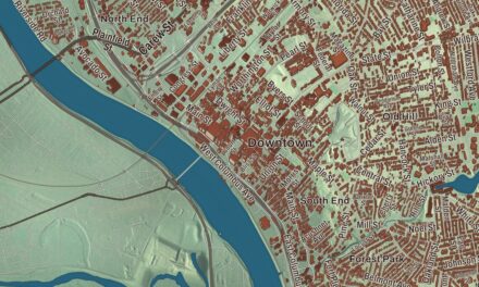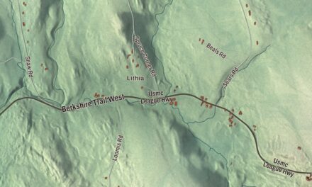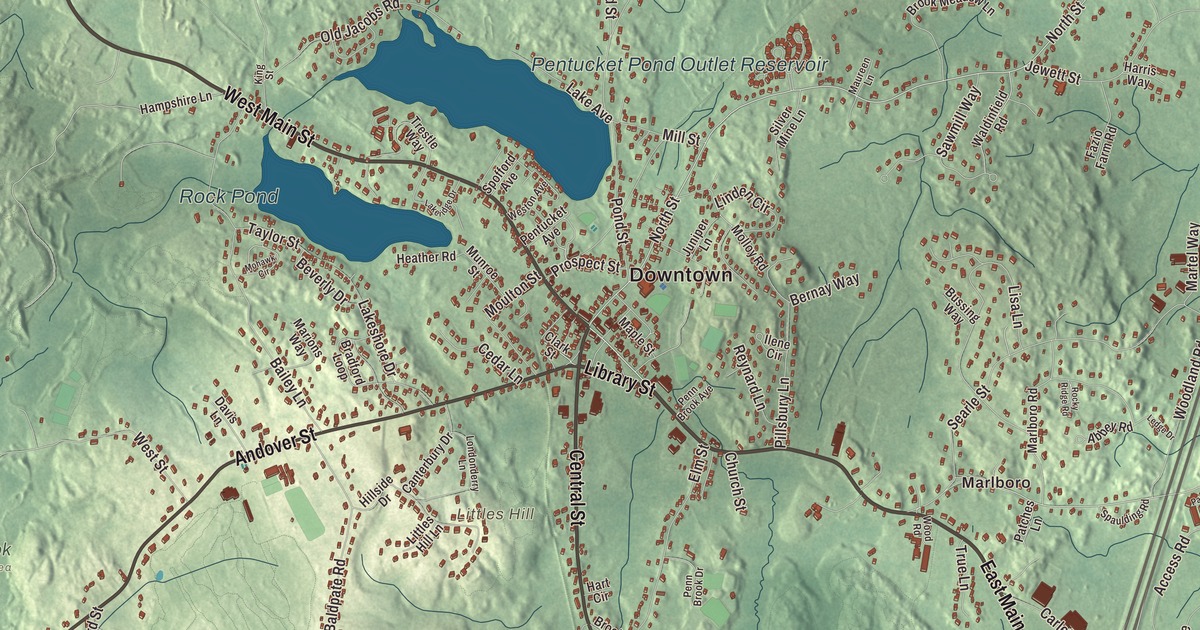
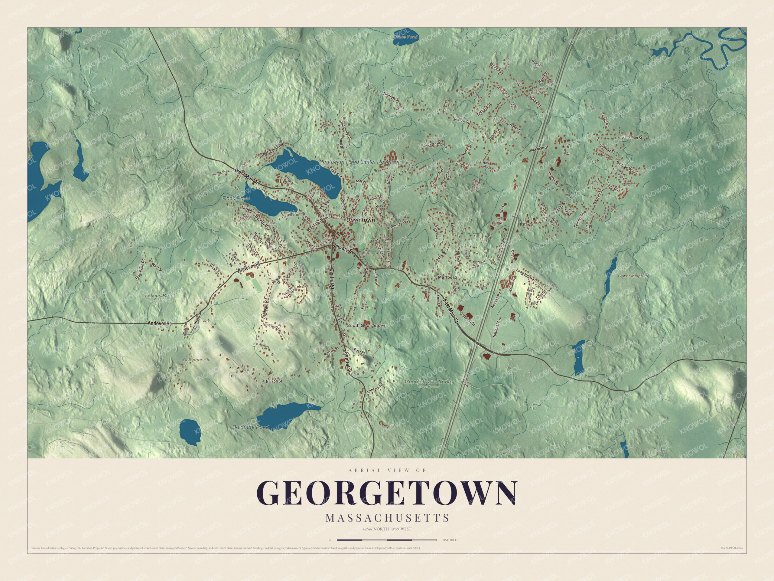
Georgetown is an old Rowley parish that grew into its own town, and its two main streets still carry houses from the 1600s and 1700s. This map prints East Main Street, West Main Street, Library Street, Central Street, Andover Street and North Street, with Rock Pond, Crane Pond, Baldpate Pond, the Pentucket Pond Outlet Reservoir, Baldpate Hill, Littles Hill and Long Hill. Click here to purchase a print of this map for your wall.
Georgetown is in Essex County, about 28 miles north of Boston.
KNOWOL made this map in 2026 from public survey data and gave it the look of an old atlas. The relief comes from United States Geological Survey elevation data, and the roads and the town line come from the Census Bureau. Georgetown covers 13.2 square miles, 12.9 of them land, on the edge of the hills and coastal plain of northeastern Massachusetts. Groveland lies to the northwest, Newbury to the northeast, Rowley to the southeast and Boxford to the southwest. The town had 8,470 people at the 2020 census.
Rowley’s West Parish
The Town of Georgetown’s recorded history, in the Secretary of the Commonwealth’s list, dates European settlement to 1639, when the Reverend Ezekiel Rogers settled Rowley, a town that then reached from the Atlantic coast to the Merrimack River. By the middle of the 1600s, farmers who found good meadowland in the western half of Rowley had settled along the Penn Brook and formed Rowley’s West Parish. The village, later known as New Rowley, grew around small mills and eventually a shoe company, and by 1838 it was big enough to stand on its own. Georgetown was incorporated as a town that year, and it remains part of Essex County today. Small industry carried on, and today it’s mostly a residential town on Boston’s North Shore.
Old houses on Main Street
The Brocklebank-Nelson-Beecher House, at 108 East Main Street, is a First Period house believed to have been built around 1668 by Captain Samuel Brocklebank, a surveyor and militia captain who came from England in 1638. It became a tavern in 1754, and in 1858 it was bought by the Reverend Charles Beecher, brother of Harriet Beecher Stowe and Henry Ward Beecher, who came to Georgetown as a pastor in 1857 and died here in 1900. Today the Georgetown Historical Society runs it as a museum. Out on West Main Street, the Adams-Clarke House, built about 1725, sits at an unusual angle to the road, facing almost due south. The Dickinson-Pillsbury-Witham House, whose oldest part James Dickinson built around 1700, keeps its massive original frame, a rare enclosed stairway and early paint, and it was the historical society’s first home.
The novelist John Updike lived at 58 West Main Street from 1976 to 1982, and the town’s page says his runs through Georgetown gave him the backdrop for his novel Rabbit Is Rich. The book won the Pulitzer Prize for Fiction, the National Book Award and the National Book Critics Circle Award.
Click to explore a larger preview. The digital watermark does not appear on printed maps.
Names on this map
These names are printed on this map.
Places: Downtown, South Georgetown, Marlboro, Baldpate Hill, Littles Hill, Long Hill, Crane Pond, Lower Millpond, Pentucket Pond Outlet Reservoir, Baldpate Pond, Rock Pond, Georgetown-Rowley State Forest and Lufkins Brook Conservation Area.
Streets and roads: East Main Street, West Main Street, Library Street, Central Street, Andover Street, North Street, Tenney Street, Jewett Street, Baldpate Road, Thurlow Street, Jackman Street, West Street.
More street names, A to Z
Abbey Road, Access Road, Acorn Way, Alyssa Way, Amburg Street, Ash Lane, Bailey Lane, Belleau Woods, Bernay Way, Beverly Drive, Birch Tree Drive, Blueberry Lane, Bradford Loop, Brook Meadow Lane, Brook Street, Brown Field Lane, Bussing Way, Canterbury Drive, Carleton Drive, Cedar Lane, Charles Street, Church Street, Clark Street, Crescent Drive, Davis Lane, Deer Run Lane, East Street, Elm Street, Farm Lane, Farnham Road, Fazio Farm Road, Forest Street, Hampshire Lane, Hardy Terrace, Harris Way, Hart Circle, Hawk Way, Heather Road, Hickory Lane, Hillside Drive, Ilene Circle, Industrial Way, Juniper Lane, Kenneth Road, King Street, Lake Avenue, Lakeridge Drive, Lakeshore Drive, Lantern Lane, Ledge Drive, Linden Circle, Lisa Lane, Littles Hill Lane, Londonderry Lane, Long Hill Road, Long View Way, Lull Street, Maple Street, Marions Way, Marlboro Road, Martel Way, Maureen Lane, Meadowview Road, Mill Street, Mohawk Circle, Molloy Road, Moulton Street, Munroe Street, National Avenue, Nelson Street, Norino Way, Noyes Road, Old Jacobs Road, Ordway Street, Parish Road, Patches Lane, Patriot Lane, Pearson Street, Penn Brook Avenue, Penn Brook Drive, Pentucket Avenue, Pillsbury Lane, Pillsbury Street, Pineneedle Lane, Pine Plain Road, Pond Street, Prescott Lane, Prospect Street, Rainbow Ridge, Reynard Lane, Rocky Ridge Road, Sage Road, Sawmill Way, Searle Street, Silver Mine Lane, Spaulding Road, Spofford Avenue, Spofford Street, Stone Row Lane, Swanton Way, Taylor Street, Tenney Court, Tiger Row, Trestle Way, True Lane, Village Lane, Vineyard Lane, Waldinfield Road, Warren Street, Web Road, Wells Avenue, Wells Court, Weston Avenue, Woodland Road, Wood Road.
Fire company, cannon and library
The town’s page calls the Erie 4 Fire Company the oldest privately owned and operated volunteer fire company in America, and the “Old Nancy” cannon, a relic of the Revolutionary War, is on view at the Town Hall. The Georgetown Peabody Library is named for the philanthropist George Peabody, who paid for it to honor his mother. In Union Cemetery, Cuffee Dole, an African American man, was buried at the edge of the grounds, and as the cemetery grew, his grave came to lie near its center.
Rock Pond and Pentucket Pond are the town’s two major ponds, and the 2008 movie The Women was filmed mostly at Camp Leslie on the shore of Pentucket Pond. The Crane Pond Wildlife Management Area lies to the north, and the 1,112-acre Georgetown-Rowley State Forest to the south, crossed by the Bay Circuit Trail.
Around the map
Start with South Georgetown, then follow East Main Street, West Main Street, Library Street, Central Street, Andover Street and North Street across town. Look outward toward Marlboro. Crane Pond, the Pentucket Pond Outlet Reservoir, Baldpate Pond, Rock Pond, Baldpate Hill, Littles Hill and Long Hill are all printed on the map.
The Georgetown map makes a fine addition to an office, library or den, and it can help teach children the geography and history of an old parish town on the North Shore. It’s made for people who call Georgetown home, from South Georgetown to Crane Pond, and it shows the town as it looks today. Zoom in on the preview above to explore the details, then click here to get your copy of the Georgetown, Massachusetts map.

We made a map for every town and city in Massachusetts. Explore the complete Massachusetts map collection and find your town.
Sources
- Georgetown, Massachusetts, Wikipedia
- Brocklebank-Nelson-Beecher House, Wikipedia
- Charles Beecher, Wikipedia
- Adams-Clarke House, Wikipedia
- Dickinson-Pillsbury-Witham House, Wikipedia
- John Updike, Wikipedia
- Georgetown-Rowley State Forest, Wikipedia
- City and Town Incorporation and Settlement Dates, Secretary of the Commonwealth of Massachusetts (archived copy)