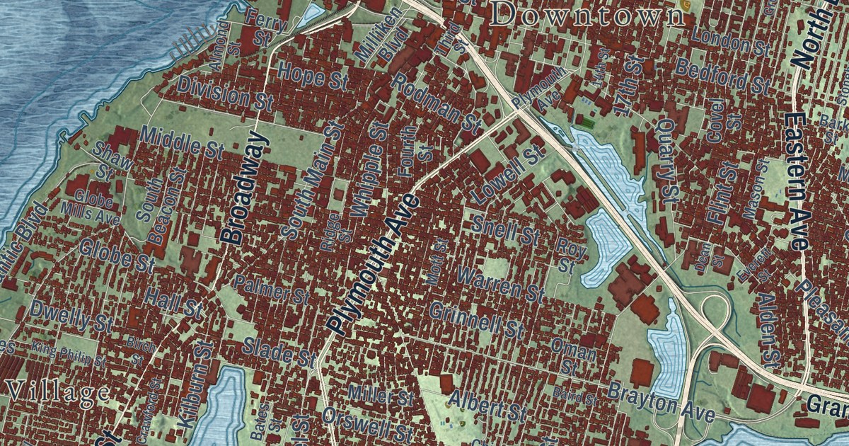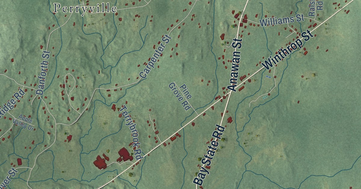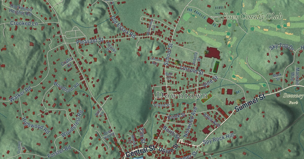
This beautifully detailed map of Manchester-by-the-Sea, Massachusetts was created in 2026 using aerial imagery combined with modern topographical, census, street and landmark data. It’s a one-of-a-kind view of Manchester-by-the-Sea that combines accurate data with a vintage aesthetic. The map shows every building in its true location, many of the roads carry their names, and the shaded topographic relief shows the shape of the land.
Explore an aerial view of Manchester-by-the-Sea, Massachusetts
On the map you’ll find Downtown, Kettle Cove Village, West Manchester, Beaverdam Hill, Boohoo Ledge, Clark Pond, Manchester Essex Woods, Sweeney Park, The Monoliths, Wyman Hill Conservation Area, and Essex County Club, along with Bridge Street, and more. If you look closely you can even find your house accurately drawn in its correct location. Zoom in on the preview to look for yours. Click here to learn more about the history of Manchester-by-the-Sea.
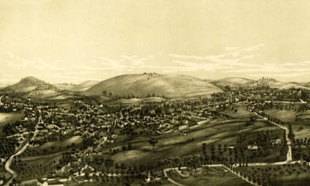
Did you know this piece of Manchester-by-the-Sea, Massachusetts history?
Boston publisher James T. Fields first used the name Manchester by the Sea in 1877 at a summer picnic. Longtime resident Edward Corley later pushed to make it official, so people would stop confusing it with Manchester, New Hampshire. Town meeting approved the change in 1989 by just 97 votes to 95.
Take a closer look at the Manchester-by-the-Sea map
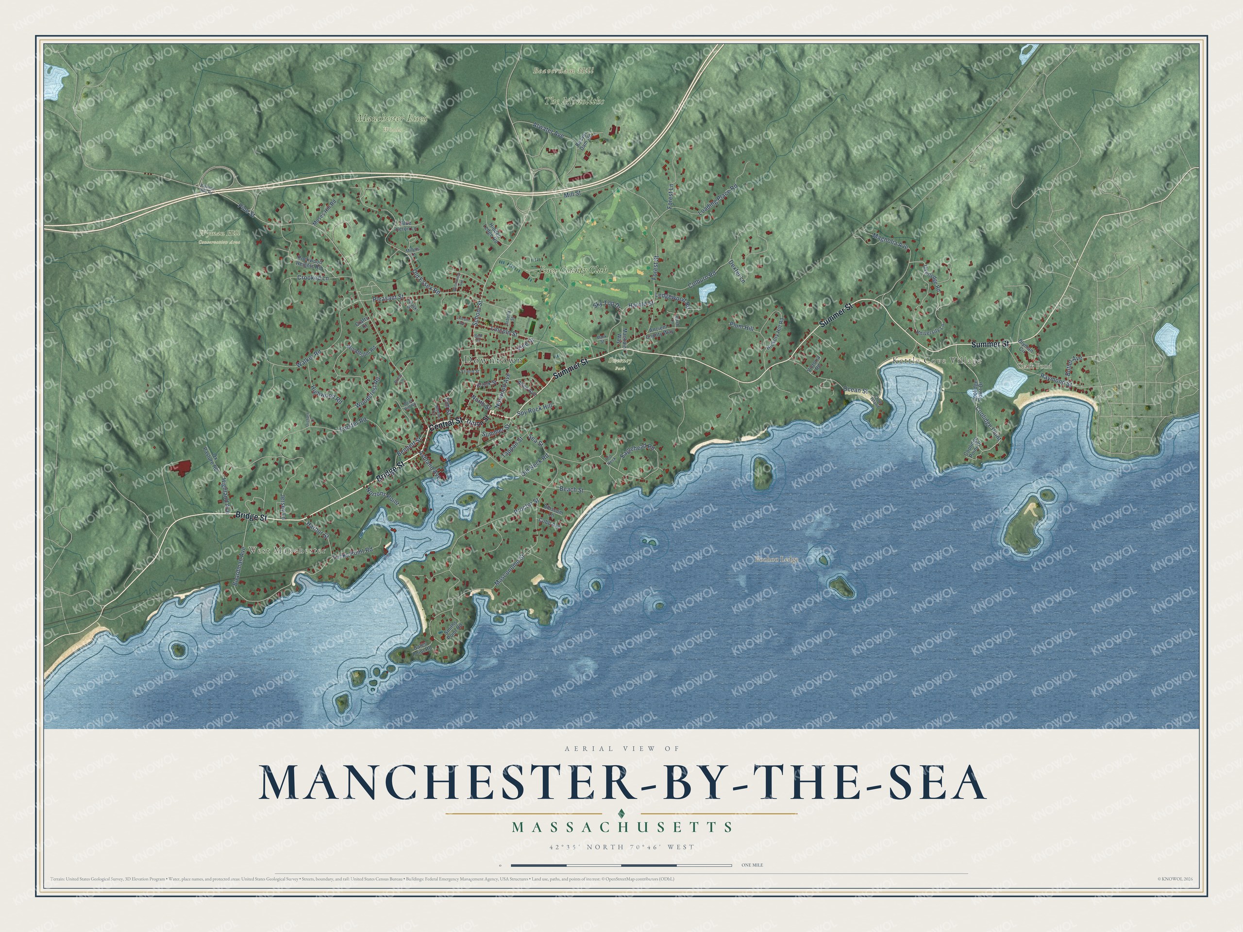
Click to explore a larger preview. The digital watermark does not appear on printed maps.
Street and place names on the Manchester-by-the-Sea, Massachusetts map
These names are printed on the map of Manchester-by-the-Sea, Massachusetts.
Places: Downtown, Kettle Cove Village, West Manchester, Beaverdam Hill, Boohoo Ledge, Clark Pond, Manchester Essex Woods, Sweeney Park, The Monoliths, Wyman Hill Conservation Area and Essex County Club.
Streets and roads: Bridge Street, Central Street, Summer Street, School Street, Boardman Avenue, Harbor Street, Eaglehead Road, Old Neck Road, Pine Street, Forest Street, Masconomo Street, Ocean Street.
More street names, A to Z
Allen Avenue, Ancient County Way, Arbella Street, Ashland Avenue, Atwater Avenue, Beach Street, Beaver Dam Road, Bell Court, Bennett Street, Birch Lane, Blossom Lane, Blue Heron Lane, Blyman Circle, Brice Lane, Brook Street, Butler Avenue, Cobb Avenue, Colburn Road, Coolidge Point, Coolidge Point Drive, Crafts Court, Crooked Lane, Crow Island, Deer Hill Road, Dexter Lane, Elm Street, Forest Lane, Forster Road, Friend Street, Gales Point Road, Harold Street, Hickory Hill Road, Hidden Ledge Road, Highland Avenue, Highwood Road, Jersey Lane, Ledgewood Road, Lincoln Avenue, Lincoln Street, Loading Place Road, Machain Way, Magnolia Avenue, Mark Street, Millets Lane, Mill Street, Morse Court, Moses Hill Road, North Street, Nortons Point, Norwood Avenue, Old Essex Road, Old Neck, Orchard Lane, Overledge Road, Ox Pasture Road, Pipeline Line Road, Pleasant Street, Plum Hill, Proctor Street, Pulaski Drive, Raymond Street, Rockwood Heights Road, Sea Street, Sky Top Drive, Smiths Point Road, Spy Rock Hill, Tappan Street, Tucks Point Road, Union Street, University Lane, Victoria Road, Vine Street, Walker Road, Willmonton Avenue, Woodcrest Road, Woodholm Road.
See the Manchester-by-the-Sea, Massachusetts map on a wall
The Manchester-by-the-Sea map as an 18 x 24 inch print in a black frame.

This beautifully detailed map of Manchester-by-the-Sea makes an attractive addition to your office, library, or den, and it can even be used to teach children the geography and history of the area. It also makes a great gift for someone who left Manchester-by-the-Sea and still calls it home. When you’re done exploring, click here to get your copy of the Manchester-by-the-Sea map.