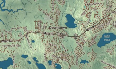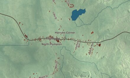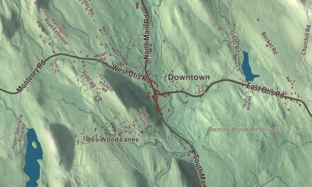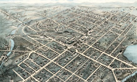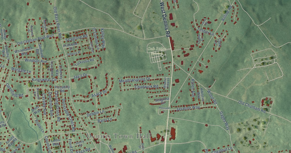
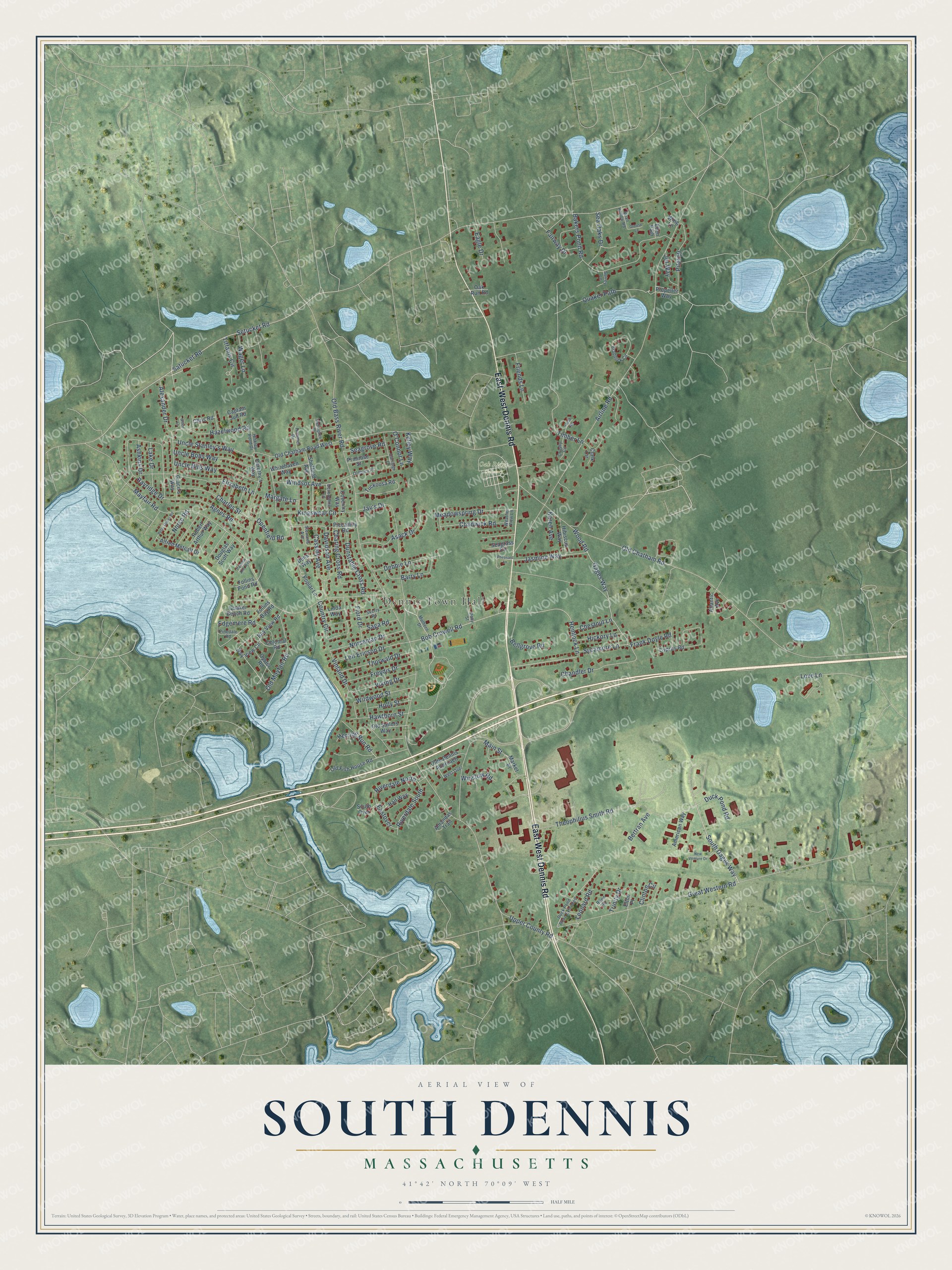
This beautifully detailed map of South Dennis, Massachusetts was created in 2026 using aerial imagery combined with modern topographical, census, street and landmark data. It's a modern aerial view of South Dennis in Barnstable County, Massachusetts, that combines modern data with a vintage aesthetic. The roads feature printed names, and if you look closely you can find your exact house accurately shown in its correct location.
Explore an aerial view of South Dennis, Massachusetts
On this map you'll find Dennis Town Hall, Oak Ridge Cemetery, East-West Dennis Road, Bob Crowell Road, Quaker Path, Hemlock Lane, South Gages Way, Gages Way, Wood Road, Norseman Drive, Tiffanis Circle, Vinland Drive, and more. Each red shape is a building, so zoom in on the preview and look for yours.
South Dennis is a community in Barnstable County. The Census Bureau counted 3,899 people here in 2020. The map prints the town name in its title panel, with the coordinates below it.
Take a closer look at the South Dennis map
Names on this map
These names are printed on this map.
Places: Dennis Town Hall and Oak Ridge Cemetery.
Streets and roads: East-West Dennis Road, Bob Crowell Road, Quaker Path, Hemlock Lane, South Gages Way, Gages Way, Wood Road, Norseman Drive, Tiffanis Circle, Vinland Drive, Old Bass River Road, Old Chatham Road.
More street names, A to Z
Agnes Road, Airline Road, Alexander Drive, Alfred Metcalf Drive, Amandas Trail, American Way, Asack Drive, Ashkins Drive, Atlantic Avenue, Bakers Pond Road, Barry Lane, Bayridge Drive, Bay View Circle, Bay View Road, Bellgrove Road, Bertran Avenue, Braddock Circle, Captain Jud Road, Carriage Drive, Cassidy Avenue, Chadwick Road, Chandler Drive, Charing Cross Road, Charles Street, Chestnut Lane, Chris Road, Clark Circle, Clinton Circle, Colonial Road, Country Circle, Coventry Way, Crosby Circle, Cyprus Road, Davidson Avenue, Debbie Lane, Devonshire Lane, Dolly Street, Dons Way, Dorothy's Way, Douglas Scott Way, Duck Pond Road, Duck Pond Road Extended, Dunstable Cross Road, Eagle Drive, Eastover, Eben Path, Edgemere Road, Elizabeth Lane, Elton Place, Fairway Drive, Fiord Drive, Follins Bay Road, Follins Pond Road, Frank Doyle Road, Freydis Drive, Friends Lane, Grace's Way, Great Western Road, Grouse Lane, Half Way, Hawthorn Street, Hazelwood Road, Herring Run Road, Hibiscus Way, Hickory Lane, Hinkley Pond Drive, Holly Street, Hummel Drive, Jacob Road, Jasmine Way, Jay's Drive, Jet Way, Karen Avenue, Kelley Way, Kingswear Circle, Lake Drive, Leif Ericson Drive, Leonard Road, Linda Way, Love Lane, Main Street, Margate Lane, Market Place, Mayfair Road, Meadowspring Drive, Mulhern Drive, New Venture Drive, Norse Road, O'Connor Lane, Oak Run Road, Oldbury Place, Old Chatham Road West, Olde Dennis Approach, Old Fish House Road, Old Mayfair Road, Old Sailors Way, Openfield Road, Oyster Road, Pamela Ann Way, Peter Oliver Road, Pheasant Lane, Piccadilly Road, Pilot Drive, Pinedale Road, Poplar Lane, Primrose Street, Propeller Way, Quail Hollow Road, Quaker Beach Road, Reed Road, Riverdale North, Riverdale South, Robert Arthur Way, Saga Road, Satucket Road, Seagrass Circle, Seagrove Road, Sea Oaks Drive, Setucket Road, Sheffield Avenue, Skerry Road, South Over, Stewarts Avenue, Surrey Lane, Sycamore Lane, Theophilius Smith Road, Thorwald Drive, Timber Lane, Trinity Drive, Tuckoosa Road, Uncle Bills Way, Uncle Bobs Way, Uncle Stanley's Way, Upper County Road, Viking Drive, Wager Lane, Weather View Lane, Wellingtree Drive, West Over, Whitehaven Way, White Lane, Wildwood Street, Windsor Avenue, Wing Lane, Winslow Road.
See it on a wall
The South Dennis map as a framed print. Swipe for more.


Created by KNOWOL in 2026. The buildings are small red shapes, the roads carry their printed names, and shaded relief shows the shape of the land. The title panel reads "AERIAL VIEW OF SOUTH DENNIS, MASSACHUSETTS" with 41°42' NORTH 70°09' WEST.
It looks right in a kitchen, an office or a den, and it's a gift for anyone who grew up in South Dennis or moved away. Open the preview and find your street. See sizes and frames for the South Dennis map.