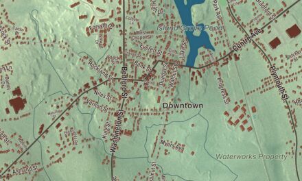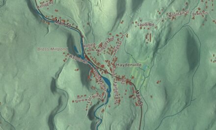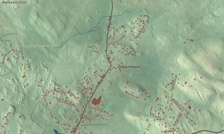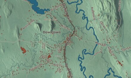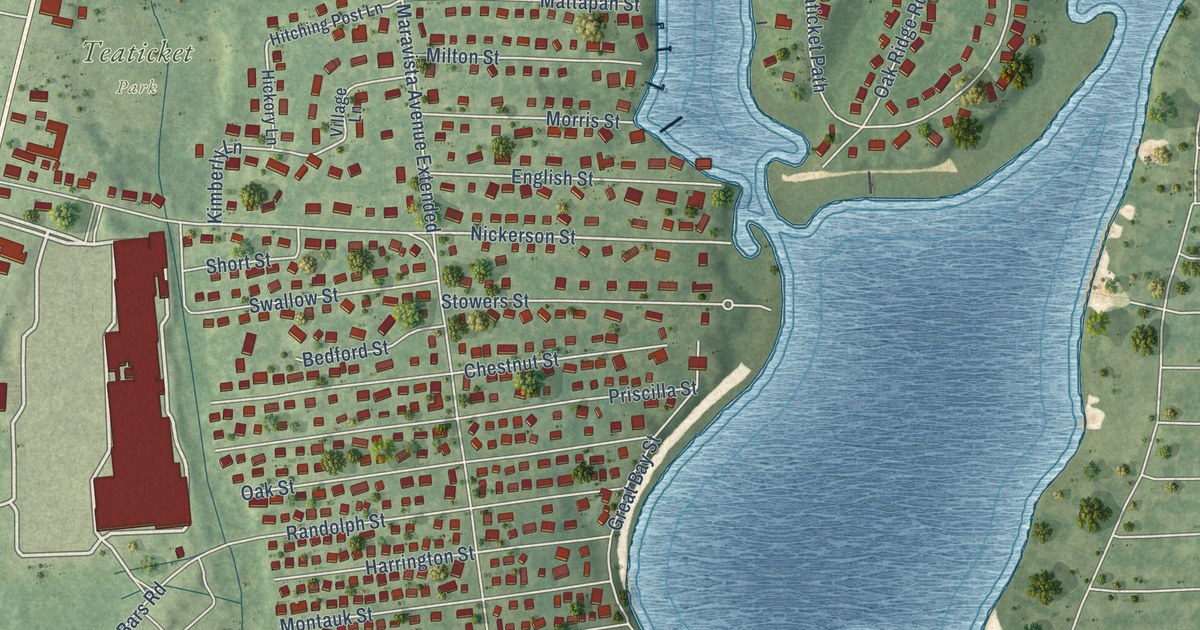
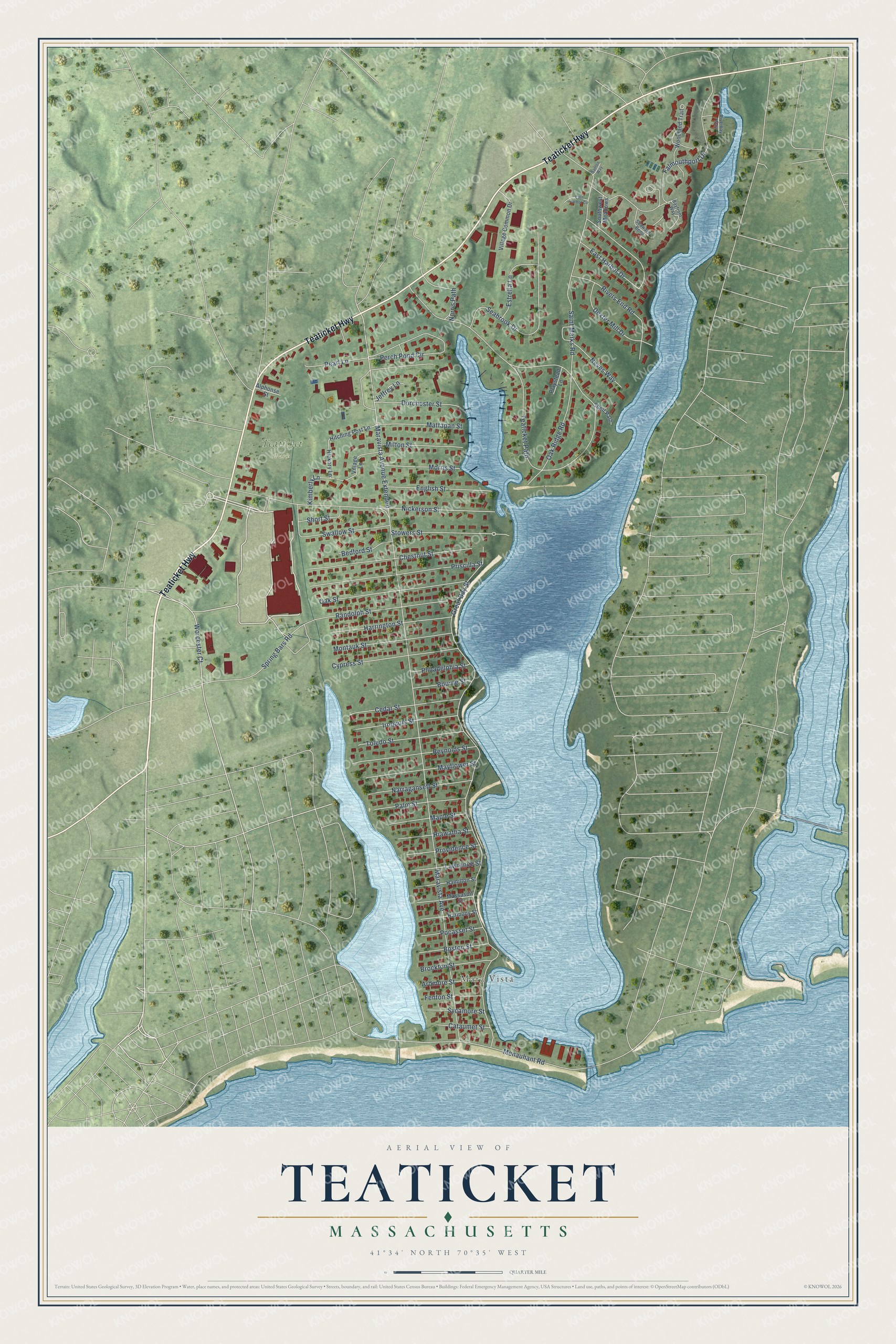
This beautifully detailed map of Teaticket, Massachusetts was created in 2026 using aerial imagery combined with modern topographical, census, street and landmark data. It's a modern aerial view of Teaticket in Barnstable County, Massachusetts, that combines modern data with a vintage aesthetic. The roads feature printed names, and if you look closely you can find your exact house accurately shown in its correct location.
Explore an aerial view of Teaticket, Massachusetts
On this map you'll find Mara Vista, Teaticket Park, Teaticket Highway, Worcester Court, Maravista Avenue Extended, Nickerson Street, Spring Bars Road, Maravista Avenue, Great Bay Street, Teaticket Path, Falmouthport Drive, Saint Marks Road, and more. Each red shape is a building, so zoom in on the preview and look for yours.
Teaticket is a community in Barnstable County. The Census Bureau counted 1,663 people here in 2020. The map prints the town name in its title panel, with the coordinates below it.
Take a closer look at the Teaticket map
Names on this map
These names are printed on this map.
Places: Mara Vista and Teaticket Park.
Streets and roads: Teaticket Highway, Worcester Court, Maravista Avenue Extended, Nickerson Street, Spring Bars Road, Maravista Avenue, Great Bay Street, Teaticket Path, Falmouthport Drive, Saint Marks Road, Menauhant Road, Seabrook Drive.
More street names, A to Z
Alphonse Street, Ardmore Street, Bayfront Way, Bedford Street, Boston Street, Bourne Street, Brockton Street, Cataumet Street, Cedar Street, Chestnut Street, Cypress Street, Dexter Mill Drive, Dorchester Street, East Harbor Circle, East Harbor Drive, English Street, Estrella Lane, Fenton Street, Hamilton Street, Harmony Street, Harrington Street, Hiawatha Street, Hickory Lane, Hitching Post Lane, Iroquois Street, Jeffrey Lane, Kimberly Lane, Lawrence Street, Maple Street, Massasoit Street, Mattapan Street, Mayflower Street, Milton Street, Montauk Street, Morris Street, Narragansett Street, Neves Way, Norris Path, Oak Ridge Road, Oak Street, Palm Street, Pearl Lane, Perch Pond Circle, Philadelphia Street, Playstead Lane, Pocasset Street, Priscilla Street, Providence Street, Randolph Street, Reynolds Street, Riverbay Way, Rivers End Road, Santos Way, Seaward Bend, Shell Path, Short Street, Southwest Meadows, Stowers Street, Swallow Street, Sycamore Street, Toledo Street, Village Common Drive, Village Lane, Woodland Trail.
See it on a wall
The Teaticket map as a framed print. Swipe for more.


Created by KNOWOL in 2026. The buildings are small red shapes, the roads carry their printed names, and shaded relief shows the shape of the land. The title panel reads "AERIAL VIEW OF TEATICKET, MASSACHUSETTS" with 41°34' NORTH 70°35' WEST.
It looks right in a kitchen, an office or a den, and it's a gift for anyone who grew up in Teaticket or moved away. Open the preview and find your street. See sizes and frames for the Teaticket map.