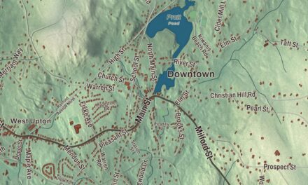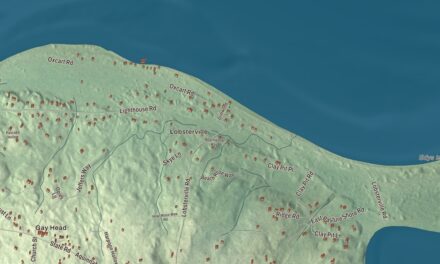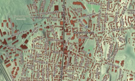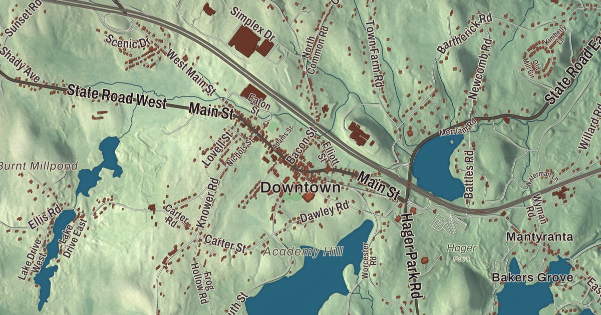
This aerial map of Westminster, Massachusetts was created in 2026 using real geographic data to bring the town’s streets, buildings, neighborhoods, ponds and waterways, mountains and ridgelines, and terrain together in one highly detailed view. Look closer and you can pick out the familiar places that make Westminster feel like home. Start with the street you know, then see how it connects to the rest of the Westminster you call home. Click here to purchase a print of this map for your wall.
Explore an aerial view of Westminster, Massachusetts
Start with Downtown and Bakers Grove. Follow Main Street, Worcester Road, West Main Street, Ashburnham State Road, Fitchburg Road, and Hager Park Road across town. Then look outward toward Lakewood Park, Leino Park, Mantyranta, Wachusett, and Whitmanville.
Bickford Pond, Mare Meadow Reservoir, Lake Wampanoag, Academy Hill, Baldwin Hill, and Ball Hill are all labeled on the map. Every one of those names is printed directly on the artwork, giving you plenty to explore.
The Town of Westminster’s recorded history dates European settlement to 1737. Westminster was incorporated as a town in 1770. The town remains part of Worcester County today. Click the image below to see the area as it looked in 2026.
Take a closer look at the Westminster map
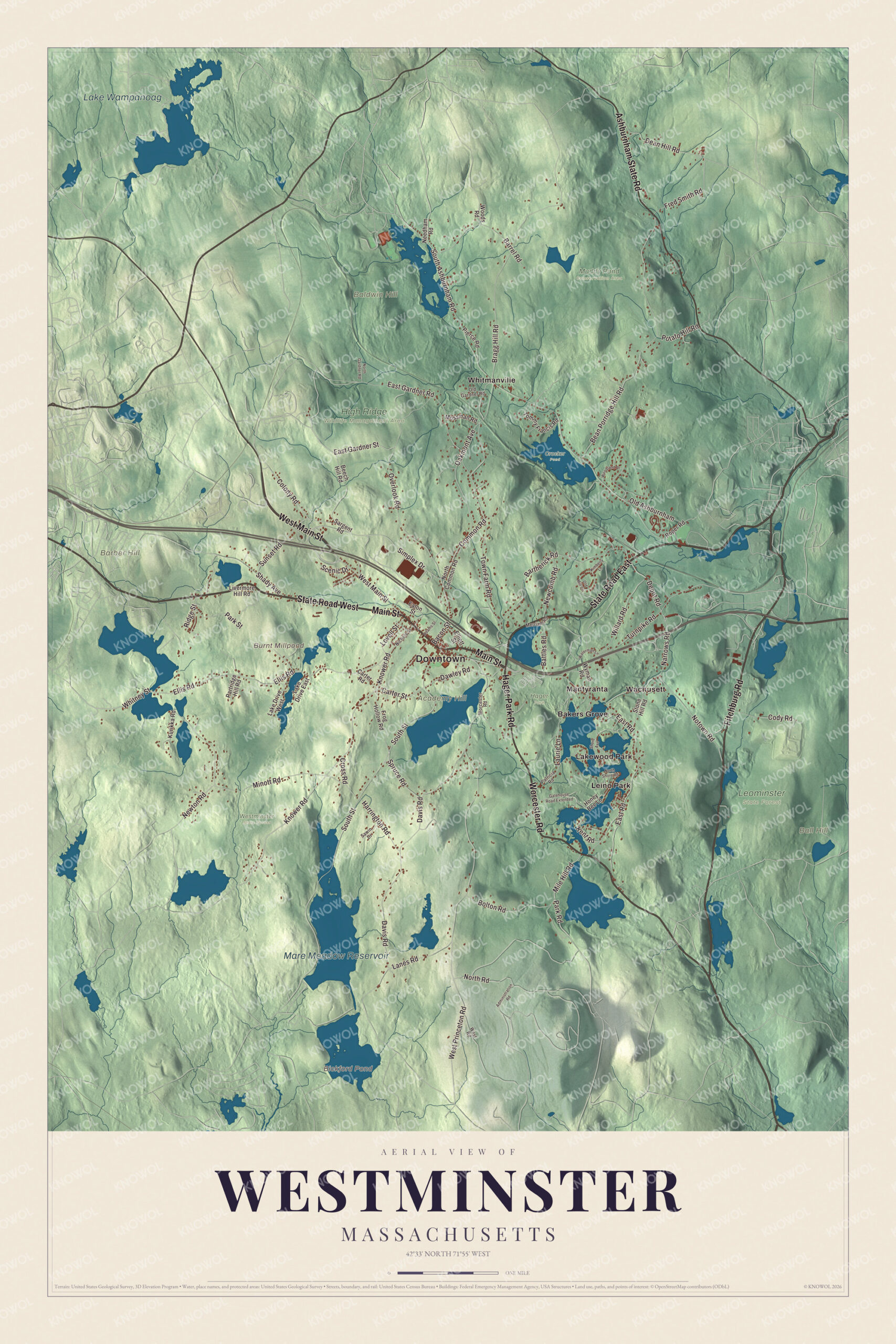
Click to explore a larger preview. The digital watermark does not appear on printed maps.
Names on this map
These names are printed on this map.
Places: Downtown, Academy Hill, Baldwin Hill, Ball Hill, Barber Hill, Bickford Pond, Burnt Millpond, Mare Meadow Reservoir, Lake Wampanoag, Crocker Pond, Hager Park, High Ridge Wildlife Management Area, Leominster State Forest, Muddy Pond Conservation Area, Westminster State Forest, Bakers Grove, Lakewood Park, Leino Park, Mantyranta, Wachusett and Whitmanville.
Streets and roads: State Road East, State Road West, Main Street, Worcester Road, West Main Street, Ashburnham State Road, Fitchburg Road, Hager Park Road, East Gardner Street, Knower Road, Ellis Road, Whitney Street.
More street names, A to Z
Adams Street, Administration Road, Bacon Street, Barrel Road, Bartherick Road, Battles Road, Bean Porridge Hill Road, Beech Hill Road, Bolton Road, Bragg Hill Road, Carter Road, Carter Street, Cody Road, Colony Road, Common Road, Cross Road, Davis Road, Dawley Road, Dean Hill Road, Depot Road, East Gardner Road, East Road, Eaton Street, Elliott Street, Fred Smith Road, Frog Hollow Road, Gatehouse Road Extended, Harrington Road, Honey Bee Lane, Kent Road, Kimberly Lane, Kurikka Road, Lake Drive East, Lake Drive West, Lanes Road, Laurie Lane, Livermore Hill Road, Lovell Street, Merriam Road, Mile Hill Road, Minott Road, Mossman Road, Narrows Road, Needham Road, Newcomb Road, Newton Road, Nichols Street, North Common Road, North Gardner Road, North Road, North Shore Road, Notown Road, Oakmont Avenue, Old Ashburnham, Old Gardner Road, Old Mill Circle, Overlook Road, Park Road, Park Street, Partridge Hill Road, Patricia Road, Pierce Road, Potato Hill Road, Ridge Street, Roper Road, Sargent Road, Sawin Drive, Scenic Drive, Shady Avenue, Shore Avenue, Simplex Drive, South Ashburnham Road, South Street, Spruce Road, Stone Hill Road, Sunset Road, Tommy Francis Road, Town Farm Road, Turnpike Road, Waterman Lane, West Princeton Road, West Road, Willard Road, Woodland Drive, Woods Road, Wyman Road.
See it on a wall
The Westminster map as a framed print. Swipe for more.


We designed the artwork at KNOWOL using Westminster’s real streets, buildings, neighborhoods, ponds and waterways, mountains and ridgelines, and terrain, the town boundary, and the way buildings spread across the town. Then we chose the color, relief, lettering, and layout that make the map look great on the wall.
This beautifully detailed map of Westminster makes an attractive addition to your office, library, or den and can even be used to teach children the geography and history of the area. When you’re done exploring, click here to get your copy of the Westminster, Massachusetts map.