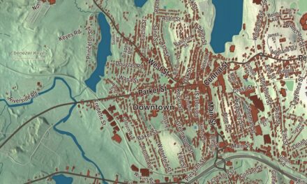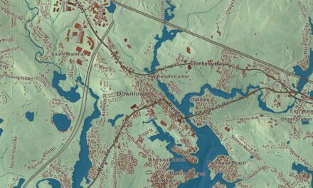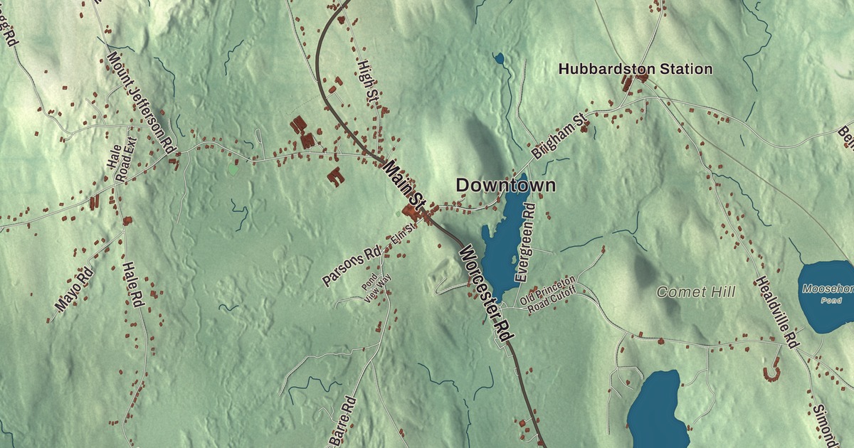
Hubbardston’s center is the crossing of Main Street and Brigham Street, and the rest of town spreads out along Gardner Road, Worcester Road, the Old Boston Turnpike and Old Westminster Road. This map prints those roads with Asnacomet Pond, Bickford Pond, the Mare Meadow Reservoir, Comet Hill and Dolbier Hill. Click here to purchase a print of this map for your wall.
Hubbardston is in Worcester County.
KNOWOL made this map in 2026 from public survey data and gave it the look of an old atlas. The relief comes from United States Geological Survey elevation data, and the roads and the town line come from the Census Bureau. Hubbardston covers 42.0 square miles, 18 miles north of Worcester and 53 miles west of Boston, between Phillipston, Templeton, Gardner, Westminster, Princeton, Rutland and Barre. The town page notes that it stands unusually high for Massachusetts, at 1,015 feet above sea level. It had 4,328 people at the 2020 census.
The Northeast Quarter of Rutland
The Town of Hubbardston’s recorded history, in the Secretary of the Commonwealth’s list, dates European settlement to 1734, and Hubbardston was incorporated as a town in 1775. The town’s own page tells it a little differently: this was the “Northeast Quarter” of Rutland, set off as a separate district in 1767. In 1737 Eleazer Brown took a 60-acre farm from Rutland’s proprietors on the condition that he keep an inn, and until 1746 he and his wife were the only people living here. Israel Green came in 1749; his daughter Molly is reported to be the first child born in town, and he became the first chairman of the selectmen. The town remains part of Worcester County today.
The name honors Thomas Hubbard, Commissary General of the province and treasurer of Harvard College. Local history says he promised to pay for the glass in the first meeting house, and the townspeople planned extra windows to make his generosity all the more visible. When Hubbard died in 1773 his estate was so tangled that the town got nothing and had to glaze the windows itself. The town’s meeting house was framed in 1773 and rebuilt in the Greek Revival style in 1842 on its original frame, and it hosted town meetings and elections into the 20th century. Today it’s the First Parish Church, part of the Hubbardston Town Common Historic District with the common and the old burying ground, at the junction of Main Street, which is Route 68, and Brigham Street. The district was listed on the National Register in 2000.
Farms, chairs and a backhoe
Historians describe early Hubbardston as a poor, thinly settled farm town, with sawmills, potash works and home industries such as making palm-leaf hats, plus small shops turning out chairs, boots and shoes. By the 1800s dairy and berry farming and market gardening led the way, and families from Ireland, French Canada, England, Sweden and Finland came to work on the farms. In 1786, during Shays’ Rebellion, Captain Adam Wheeler of Hubbardston led eighty men from town to Worcester, where they joined hundreds of other farmers in taking over the courthouse to protest foreclosures and seizures of property.
Hubbardston also has a place in machine history. In July 1947, Vaino J. Holopainen and Roy E. Handy, Jr. developed what the town page calls the first backhoe swing frame, and their company took its name from both of them: Wain-Roy, after Holopainen’s first name, pronounced “Waino.” Jonas Gilman Clark, born here in 1815, started out as a carriage maker, ran stores in Hubbardston and other towns, made a fortune in California and founded Clark University in Worcester in 1887. The portrait painter Ethan Allen Greenwood, born here in 1779, opened the New England Museum in Boston in 1818 and later came home to take part in the town’s affairs. The painter Lucretia Ann Waite of Hubbardston and her husband, Joseph Goodhue Chandler, returned to the town in 1860 and spent the rest of their lives here.
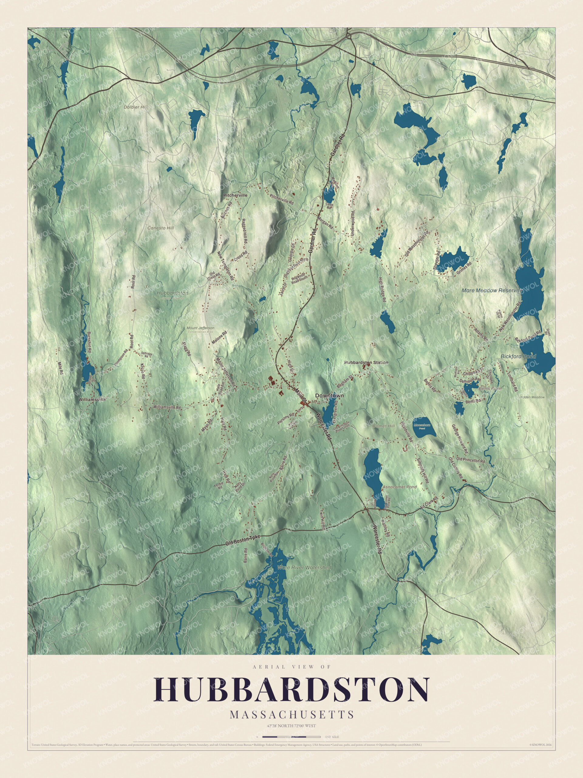
Click to explore a larger preview. The digital watermark does not appear on printed maps.
Names on this map
These names are printed on this map.
Places: Downtown, Canesto Hill, Comet Hill, Dolbier Hill, Asnacomet Pond, Bems Pond, Mare Meadow Reservoir, Bickford Pond, Hidden Meadow, Hubbardston State Forest, Moosehorn Pond, Mount Jefferson Conservation Area, Ware River Watershed, Hubbardston Station, Pitcherville and Williamsville.
Streets and roads: Main Street, Gardner Road, Worcester Road, Old Boston Turnpike, Brigham Street, Old Westminster Road, Barre Road, Root Road, Old Colony Road, Williamsville Road, New Westminster Road, Ragged Hill Road.
More street names, A to Z
Adams Road, Bemis Road, Bems Road, Bickford Pond Road, Birches Road, Brigham Road, Burnshirt Road, Chicopee Drive, Chippewa Street, Cove Road, Cross Road, Dogwood Road North, Dogwood Road South, East Comet Pond Road, Ed Clark Road, Elm Street, Evergreen Road, Ferdie Road, Flagg Road, Geordie Lane, George Howard Road, Green Road, Grimes Road, Grove Street, Hale Road, Hale Road Extension, Halfrey Road, Healdville Road, High Bridge Road, High Street, Iroquois Drive, Kruse Road, Laurel Drive, Lombard Road, Madison Way, Malone Road, Mayo Road, Mile Road, Morgan Road, Morrow Lane, Mount Jefferson Road, Muskogee Avenue, Natty Brook Road, Natty Pond Drive, New Templeton Road, Old Cross Road, Old Princeton Road, Old Princeton Road Cutoff, Parsons Road, Pitcherville Road, Pond View Way, Prentiss Hill Road, Selfridge Road, Seminole Avenue, Simonds Hill Road, Streeter Road, Thompson Road, Twin Hill Road, Underwood Road.
See it on a wall
The Hubbardston map as a framed print. Swipe for more.


Around the map
Start with Hubbardston Station, then follow Main Street, Gardner Road, Worcester Road, the Old Boston Turnpike, Brigham Street and Old Westminster Road across town. Look outward toward Pitcherville and Williamsville. Asnacomet Pond, Bems Pond, the Mare Meadow Reservoir, Bickford Pond, Hidden Meadow, Canesto Hill, Comet Hill and Dolbier Hill are all printed on the map, and every one of those names is right there on the artwork. The Hubbardston map makes a fine addition to an office, library or den, and it can help teach children the geography and history of a high hill town. It’s made for people who call Hubbardston home, from Williamsville to Pitcherville, and it shows the town as it looks today. Zoom in on the preview above to explore the details, then click here to get your copy of the Hubbardston, Massachusetts map.

Sources
- Hubbardston, Massachusetts, Wikipedia
- Hubbardston Town Common Historic District, Wikipedia
- Jonas Gilman Clark, Wikipedia
- Ethan Allen Greenwood, Wikipedia
- Joseph Goodhue Chandler, Wikipedia
- City and Town Incorporation and Settlement Dates, Secretary of the Commonwealth of Massachusetts (archived copy)