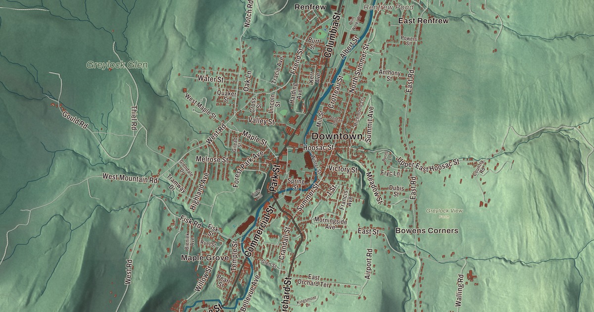
Adams lies along the valley of the Hoosic River, and the summit of Mount Greylock, the highest point in Massachusetts, is inside its bounds. This map prints Park Street, Columbia Street, Commercial Street, Grove Street, Orchard Street and Howland Avenue by name, along with Mount Greylock State Reservation, Cole Mountain, Hales Hill, Cheshire Harbor Hill, the Bassett Reservoir and Renfrew Pond. Click here to purchase a print of this map for your wall.
Adams is in northern Berkshire County, between the Taconic Range and the Hoosac Range.
KNOWOL made this map in 2026 from public survey data and gave it the look of an old atlas. The shaded terrain comes from United States Geological Survey elevation data, and in Adams that means a lot of relief: the summit of Mount Greylock stands about 2,000 feet above the Hoosic Valley, and its page places the summit in Adams. The roads and the town line come from the Census Bureau. Adams had 8,166 people at the 2020 census.
East Hoosac becomes Adams
Nathan Jones bought the township of East Hoosac at auction in 1762 from the Province of Massachusetts Bay, paying £3,200. The Town of Adams’ recorded history dates European settlement to that same year, according to the state’s list. Adams was incorporated as a town in 1778 and named for Samuel Adams, the revolutionary leader and signer of the Declaration of Independence. The land was laid out mostly in 100-acre and 200-acre farm lots facing the Hoosic River, which would later turn the wheels of woolen, cotton, lumber and plastic mills. The town remains part of Berkshire County today. The town long had two centers, and until 1878 North Adams was part of it; people called the southern center South Adams, though no town of that name ever existed, and the name lived on in the South Adams Savings Bank until 2012.
Among the early settlers in the 1760s was a group of Quakers, many of whom came together from Smithfield, Rhode Island, and the town lists a Quaker Meeting House from 1782 among its sites. Susan B. Anthony, the Quaker civil rights leader, abolitionist and suffragist, was born in Adams in 1820 and lived here until she was six. Her childhood home has been preserved and is open today as the Susan B. Anthony Birthplace Museum.
Cotton on the Hoosic
The town page says the War of 1812 helped start the American textile industry by cutting off British cloth, and in 1814 the Adams South Village Cotton Manufacture Company opened. Mills went up along the Hoosic River, and between 1820 and 1835 Adams more than doubled, to 4,000 people. The Hoosac Tunnel, opened in 1875, gave both halves of the town another lift. During the cotton boom of the late 1800s, four large brick buildings rose on Park Street, opposite the Town Hall: the P. J. Barrett Block, the Jones Block, the Armory Block and the Mausert Block, built for stores and offices.
The Plunkett brothers founded the Berkshire Cotton Manufacturing Company in 1889, and their friend President William McKinley visited Adams twice. On the second visit, in 1897, he laid the cornerstone of the Adams Free Library, and in 1903 the town put up a larger-than-life statue of him beside the library. Berkshire Cotton later became a major part of Berkshire Hathaway and made fine textiles into the mid-1900s; its Adams factory closed in 1958. Today the town’s one major remaining mill, Specialty Minerals, mines and processes limestone for calcium carbonate, used in antacids, food supplements and paper whiteners. Click here to learn more about the history of Adams.
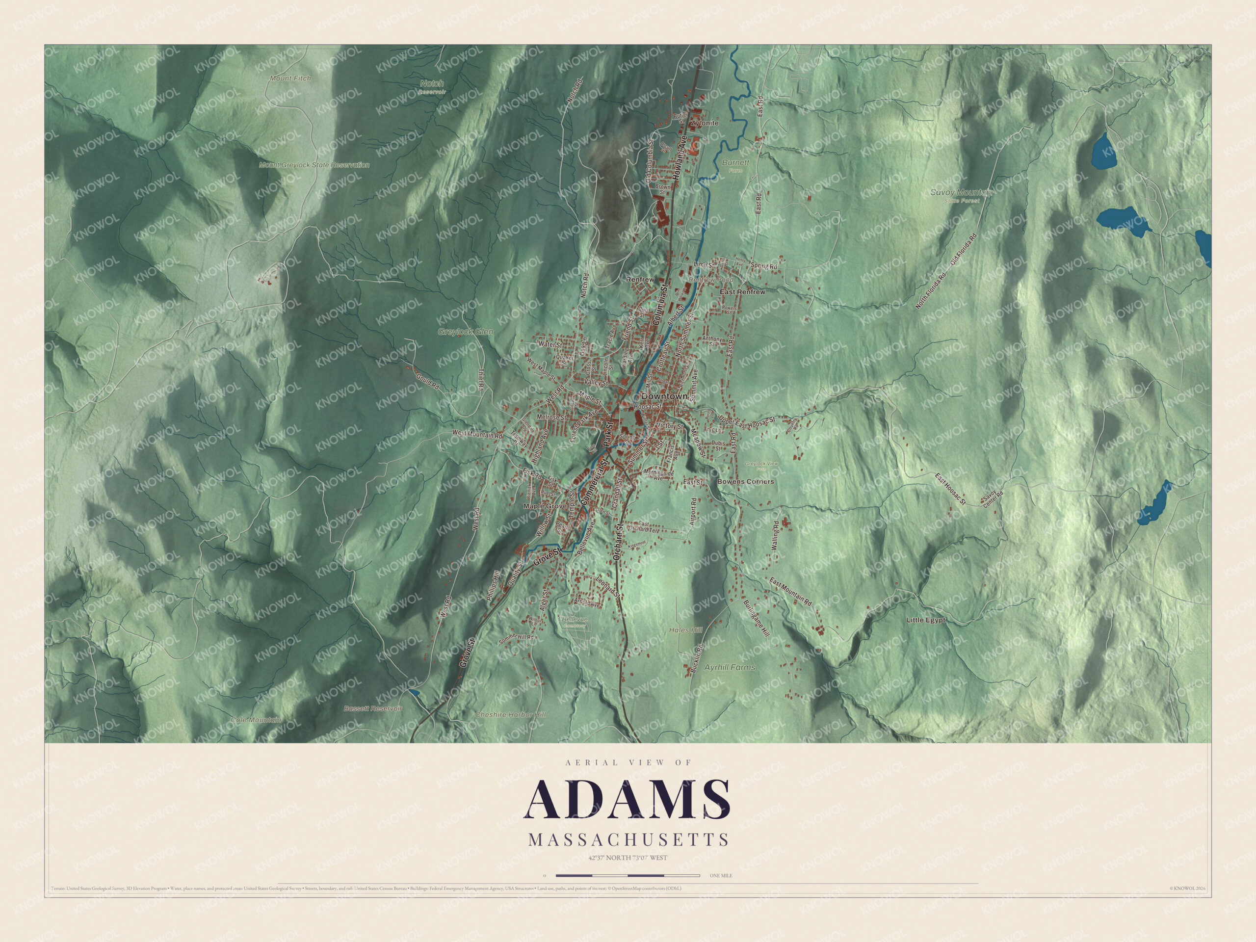
Click to explore a larger preview. The digital watermark does not appear on printed maps.
Names on this map
These names are printed on this map.
Places: Downtown, Little Egypt, Zylonite, Maple Grove, Bowens Corners, Cheshire Harbor Hill, Cole Mountain, Hales Hill, Mount Fitch, Bassett Reservoir, Renfrew Pond, Ayrhill Farms, Bellevue Cemetery, Burnett Farm, Greylock Glen, Greylock View Farm, Mount Greylock State Reservation, Notch Reservoir, Savoy Mountain State Forest, East Renfrew and Renfrew.
Streets and roads: Columbia Street, Park Street, Orchard Street, Howland Avenue, Commercial Street, Grove Street, Summer Street, Maple Street, Hoosac Street, Notch Road, West Road, East Hoosac Street.
More street names, A to Z
1 Street, Airport Road, Albert Street, Alger Street, Anthony Street, Arnold Avenue, Bellevue Avenue, Bieniek Avenue, Bobs Hill, Brown Street, Bucklin Road, Burlingame Hill, Burns Lane, Burt Street, Butler Street, Country Road, Crandall Street, Cross Street, Crotteau Street, Davis Street, Dubis Street, East Mountain Road, East Orchard Terrace, East Road, East Street, Fisk Road, Fisk Street, Forest Park Avenue, Francis Avenue, Friend Street, Fryc Lane, Gilead Street, Glendale Drive, Glen Street, Gould Road, Harding Avenue, Henry Avenue, Highland Avenue, Jordan Street, Kerr Avenue, Kingsmont Lane, Leonard Street, Lime Street, Lincoln Street, Meadow Street, Melrose Street, Mill Street, Morningside Avenue, North Florida Road, North Summer Street, Oak Lane, Old Columbia Street, Old Florida Road, Orcutt Street, Pearl Street, Phillips Hill, Powers Street, Print Works Drive, Quaker Street, Quality Street, Richmond Lane, Ruel Street, Savoy Center Road, Sommer Hill Road, Spring Road, Spring Street, Summit Avenue, Temple Street, Thiel Road, Tracie Avenue, Tramway Drive, Upper East Hoosac Street, Valley Street, Victory Street, Walling Road, Water Street, West Maple Street, West Mountain Road, Wilbur Lane, Willow Street, Winter Street.
See it on a wall
The Adams map as a framed print. Swipe for more.


From the valley to the summit
Mount Greylock State Reservation covers about 12,000 acres in six towns, Adams among them. The state created it in 1898 as Massachusetts’ first public land set aside to preserve a forest. The 93-foot Veterans War Memorial Tower on the summit was built in 1931 and 1932, and in the 1930s the Civilian Conservation Corps built Bascom Lodge and the Thunderbolt Ski Trail, on the mountain’s eastern slopes. An 11.5-mile stretch of the Appalachian Trail crosses the reservation, and Herman Melville was among the writers the mountain inspired. Down in the valley, the Ashuwillticook Rail Trail and the Hoosac Valley Train are on the town’s list of sites, along with the Summer Street Historic District and the Adams Agricultural Fair. Cole Mountain, Hales Hill, Cheshire Harbor Hill, the Bassett Reservoir and Renfrew Pond are printed on the map too. Start with Little Egypt, follow Columbia Street, Park Street, Orchard Street, Howland Avenue, Commercial Street or Grove Street across town, then look outward toward Zylonite, Maple Grove, Bowens Corners, East Renfrew and Renfrew.
This Adams map makes an attractive addition to your office, library or den, and it can help teach children the geography and history of the town where Susan B. Anthony was born. It’s made for people who call Adams home, from Park Street to the top of Greylock. KNOWOL created it in 2026, and it’s printed on museum quality archival paper. Zoom in on the preview above to explore the details, then click here to get your copy of the Adams, Massachusetts map.

Sources