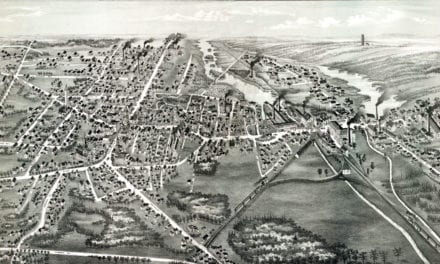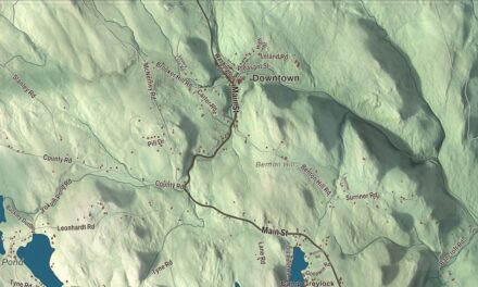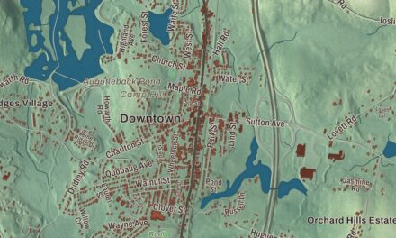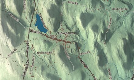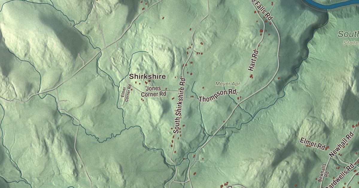
Conway is a farm town of hills and forests on the south bank of the Deerfield River, with the South River running through it and Route 116 passing through the center on its way to Deerfield. This map prints River Street, Elm Street, Ashfield Road, South Deerfield Road, Bridge Road and Main Poland Road, with the Conway Electric Reservoir, Northampton Reservoir Upper, City Pond, Abbott Hill, Badger Hill and Brimstone Hill. Click here to purchase a print of this map for your wall.
Conway is in the central part of Franklin County, 10 miles southwest of Greenfield.
KNOWOL made this map in 2026 from public survey data and gave it the look of an old atlas. The relief comes from United States Geological Survey elevation data, and the roads and the town line come from the Census Bureau. Conway covers 37.9 square miles, nearly all of it land, with Shelburne to the north, Deerfield and Whately to the east and southeast, Williamsburg and Goshen to the south and southwest, and Ashfield and Buckland to the west and northwest. The town had 1,761 people at the 2020 census.
Deerfield’s southwest corner
The Town of Conway’s recorded history, in the Secretary of the Commonwealth’s list, dates European settlement to 1762, when English colonists began farming what was then the southwestern part of Deerfield. Conway was incorporated as a town in 1775, by that list’s count; the town’s own page gives 1767 for its incorporation, after it was separated from Deerfield. It took its name from General Henry Seymour Conway, a leader in the British House of Commons when the Stamp Act was repealed, the same man Conway, New Hampshire, is named for. The town remains part of Franklin County today.
Early Conway was known for sheep farming and other farm work, with some industry along the South River until a dam broke in 1869 and washed it out. Farming is still the town’s main way of life, and the land is dotted with forests and hills, among them Conway State Forest, South River State Forest and the Poland Brook State Wildlife Management Area.
Marshall Field’s gift
Marshall Field, the founder of Marshall Field and Company, was born on a farm in Conway, the son of John Field IV and Fidelia Nash. He gave his hometown the Field Memorial Library in honor of his parents, designed by the Boston architects Shepley, Rutan and Coolidge and finished in 1901. It stands in the center of town with the town offices, the police and fire stations and the post office. Conway’s notable people also include William Collins Whitney, Secretary of the Navy from 1885 to 1889; the poet Archibald MacLeish, a Pulitzer Prize winner and Librarian of Congress; the children’s author Holly Hobbie; and the Hall of Fame pitcher Jack Chesbro, who retired and died here.
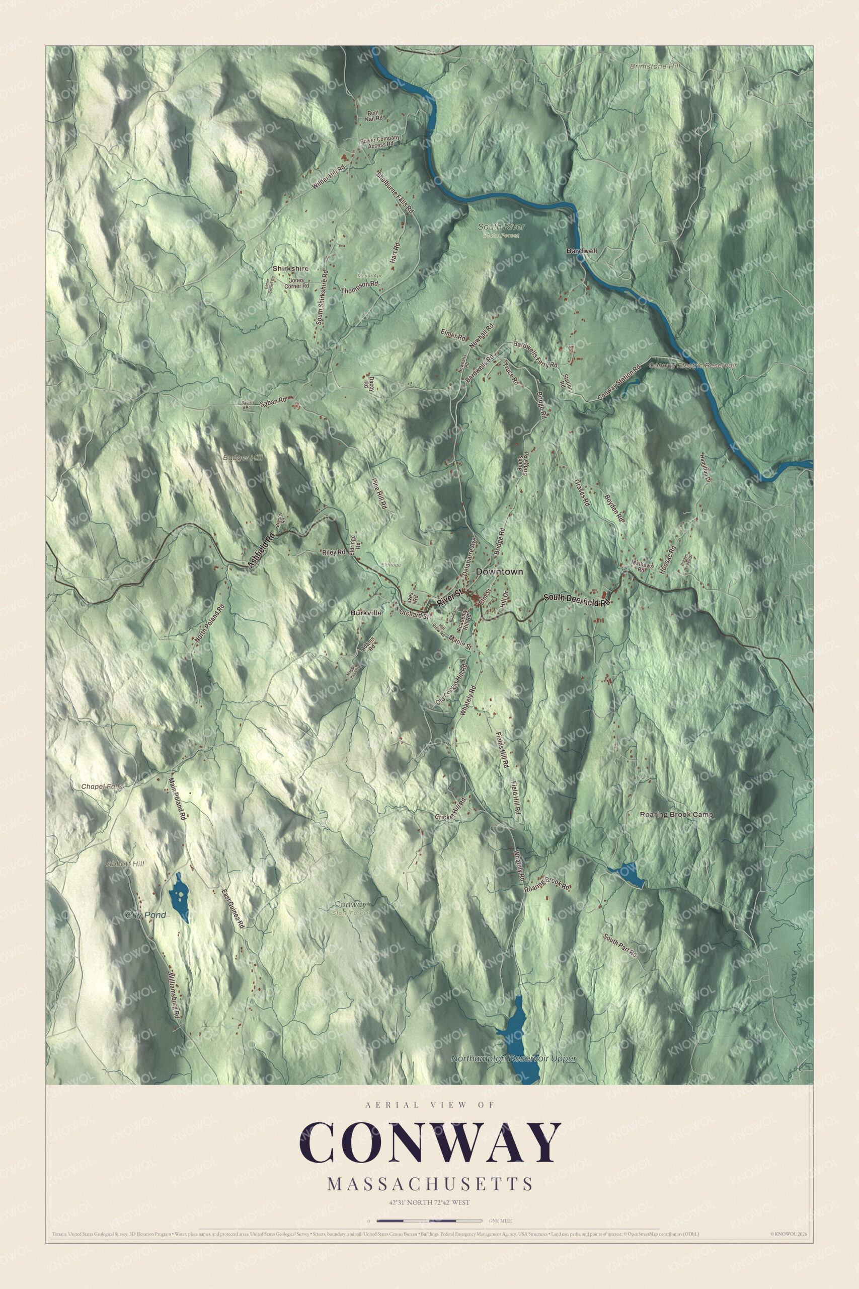
Click to explore a larger preview. The digital watermark does not appear on printed maps.
Names on this map
These names are printed on this map.
Places: Downtown, Roaring Brook Camp, Shirkshire, Abbott Hill, Badger Hill, Brimstone Hill, Chapel Falls, Conway Electric Reservoir, Northampton Reservoir Upper, City Pond, Conway State Forest, Eldridge, Meyer Apr, South River State Forest, Bardwell and Burkville.
Streets and roads: River Street, South Deerfield Road, Ashfield Road, Main Poland Road, Bridge Road, Elm Street, Orchard Street, Delabarre Avenue, Maple Street, Bardwells Road, Bardwells Ferry Road, East Guinea Road.
More street names, A to Z
Academy Hill Road, Adams Road, Bent Nail Road, Bond Street, Boyden Road, Brester Road, Conway Station Road, Cricket Hill Road, Dacey Road, Eldridge Road, Elmer Corner Road, Elmer Road, Field Hill Road, Fields Hill Road, Graves Road, Hamilton Drive, Hart Road, Hidden Ledge Drive, Hill Drive, Hill View Road, Hoosac Road, Ives Road, Jones Corner Road, Maggie Bean Drive, Mathews Road, Newhall Road, Newhalls Road, North Poland Road, Old Cricket Hill Road, Pine Hill Road, Power Company Access Road, Reeds Bridge Road, Riley Road, Roaring Brook Road, Saban Road, Sabin's Road, Shelburne Falls Road, South Part Road, South Shirkshire Road, Station Road, Thompson Road, Truce Road, Whately Road, Wilder Hill Road, Williamsburg Road.
See it on a wall
The Conway map as a framed print. Swipe for more.


Bardwell’s Ferry Bridge
The Deerfield River forms most of Conway’s northern border, and at Bardwell’s Ferry a bridge crosses it to Shelburne. Built in 1882 by the Berlin Iron Bridge Company of East Berlin, Connecticut, it’s a lenticular truss, the lens-shaped kind sometimes called a “pumpkin-seed bridge,” and at 198 feet it’s the longest single-span lenticular bridge in Massachusetts. It sits deep in the valley with steep roads dropping to it on both sides, was restored in the 1990s and has been on the National Register since 2000. The state closed it to traffic in August 2023 as structurally deficient, with no date set for reopening. Part of the South River State Forest lies beside it, and the Mahican-Mohawk Trail runs through the forest, often along the bed of the abandoned New Haven railroad line.
Around the map
Start with Shirkshire, then follow River Street, South Deerfield Road, Ashfield Road, Main Poland Road, Bridge Road and Elm Street across town, and look outward toward Bardwell and Burkville. Burkville and Shirkshire are both historic neighborhoods inside the town line. The South River comes in from Ashfield and runs through town to the Deerfield River, fed by many brooks, and a stretch of freight rail follows the Deerfield along the north edge of town toward the Hoosac Tunnel. Chapel Falls, a series of three waterfalls of 10, 15 and 20 feet on Chapel Brook, lies in neighboring Ashfield, inside the Trustees of Reservations’ Chapel Brook reservation. The Conway Electric Reservoir, Northampton Reservoir Upper, City Pond, Abbott Hill, Badger Hill, Brimstone Hill and Chapel Falls are all printed on the map.
The Conway map makes a fine addition to an office, library or den, and it can help teach children the geography and history of the farm town where their family has roots. It’s made for people who call Conway home, from Burkville to Shirkshire, and it shows the town as it looks today. Zoom in on the preview above to explore the details, then click here to get your copy of the Conway, Massachusetts map.

Sources