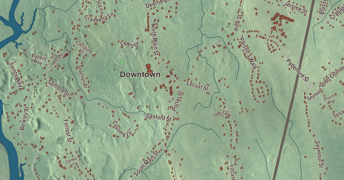
Berkley is a river town: the old white town hall on the common, the bridge over to Dighton, and the carved rock that people have puzzled over for centuries. This map prints South Main Street, North Main Street, Church Street, Myricks Street, Holloway Street and Padelford Street, with the Taunton River, Assonet Bay, Assonet Neck, Forge Pond, Terry Brook Pond, Breakneck Hill and Bryant Hill. Click here to purchase a print of this map for your wall.
Berkley is in Bristol County, between the Taunton River and Lakeville.
KNOWOL made this map in 2026 from public survey data and gave it the look of an old atlas. United States Geological Survey elevation data shades the land, and the Census Bureau supplies the roads and the town line. The ground here stays low: the highest point is the top of Bryant Hill, near the southern border, at 167 feet. Berkley had 6,764 people at the 2020 census, the fewest of any town in the county.
A spelling that stuck
Before it was a town, Berkley’s land belonged to neighboring Dighton and Taunton. The Town of Berkley’s recorded history, in the Secretary of the Commonwealth’s list, dates European settlement to 1638, and the town page agrees. Berkley was incorporated as a town in 1735, on April 18, by the George Berkeley page’s date. It was named for that philosopher and bishop, who lived in Newport, Rhode Island, from 1728 to 1731, and the town page says the dropped “e” was likely the fault of a careless clerk at the General Court. The town remains part of Bristol County today. The Berkley Congregational Church was gathered two years after the town’s founding, and from its home at 13 South Main Street it has held services ever since. Thomas Andros led it for 46 years after his ordination in 1788; as a young man he had fought in the Revolution at Long Island and White Plains, escaped from the prison ship Jersey, and later published the story of his escape.
The old Town Hall, a two-story white clapboard building on Berkley Common, went up in 1849. When a new town hall opened across the street in 2015, the old one became home to the Berkley Historical Society. Myricks was the junction of the railroads from Fall River, New Bedford and Boston on the Fall River Railroad of 1846, and the Myricks station was a popular stop for vacationers; near it, a cattle and agricultural show ran for some years toward the end of the 19th century. The station is gone now.
Dighton Rock
In the southwestern corner of town, on the eastern shore of the Taunton River, Dighton Rock State Park is home to Dighton Rock, a 40-ton sandstone boulder that sat in the riverbed, its face covered with carved lines, shapes and figures of uncertain age and authorship. Cotton Mather wrote about it in 1690, and over the centuries the carvings have been credited, in whole or in part, to the Wampanoag, to Norse sailors and to the Portuguese explorer Miguel Corte-Real. In 1963 the state lifted the rock out of the river to protect it and set it in a small museum in the park, open by appointment, and it was listed on the National Register of Historic Places in 1971. The Old Colony Historical Society owned the park from 1889 until the state took it over in 1955; today it has trails, fishing, picnic spots and room for canoes and kayaks.
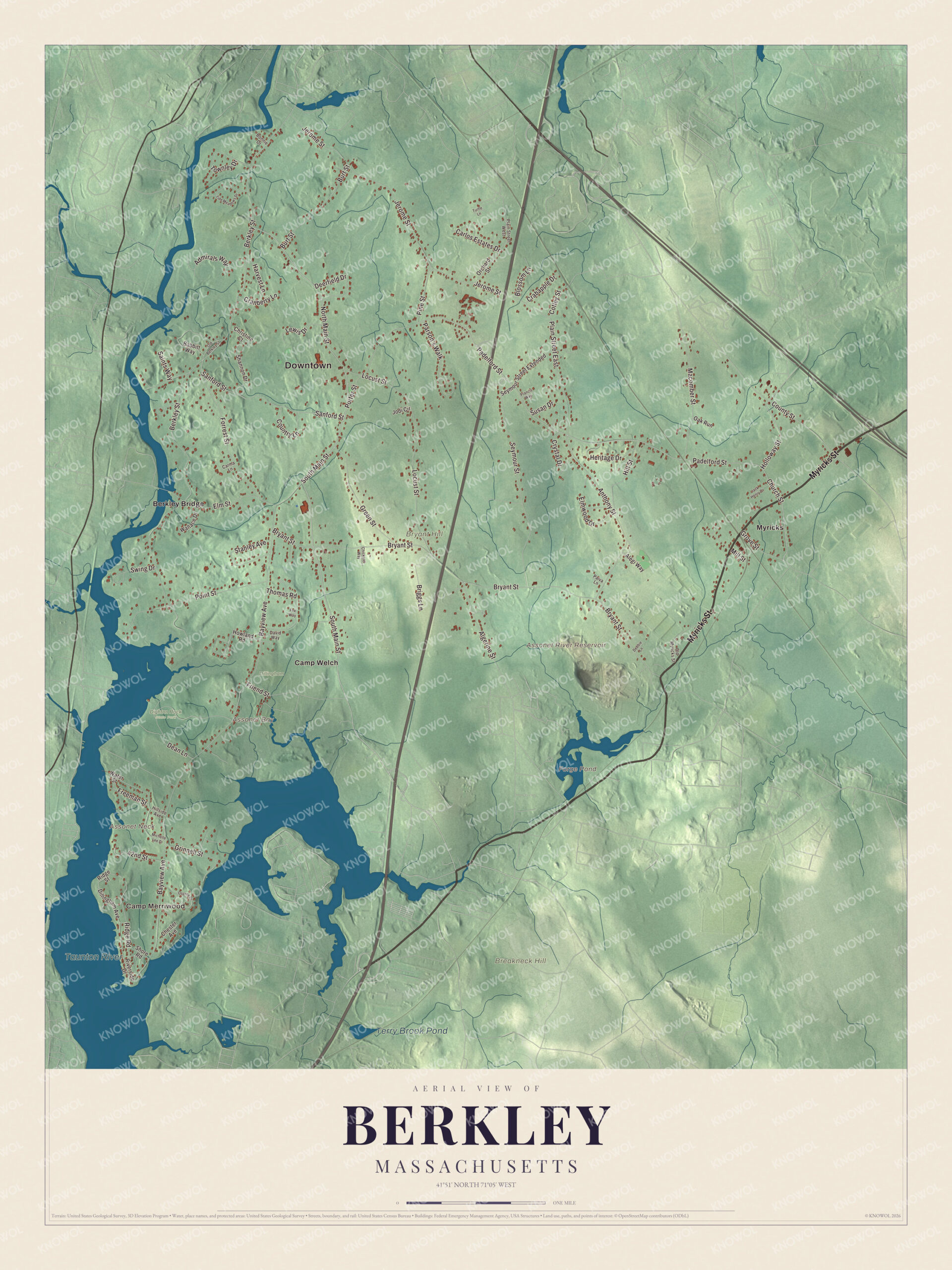
Click to explore a larger preview. The digital watermark does not appear on printed maps.
Names on this map
These names are printed on this map.
Places: Downtown, Camp Merriwood, Assonet Bay, Assonet Neck, Breakneck Hill, Bryant Hill, Assonet River Reservoir, Forge Pond, Terry Brook Pond, Taunton River, Dighton Rock State Park, Dillingham, Berkley Bridge, Camp Welch and Myricks.
Streets and roads: Myricks Street, South Main Street, North Main Street, Church Street, Holloway Street, Padelford Street, Grove Street, Ridge Road, County Street, Freeman Street, Berkley Street, Bayview Avenue.
More street names, A to Z
42nd Street, Admirals Way, Alegi Way, Algerine Street, Anthony Street, Babbitt Way, Blossom Lane, Bonnie Drive, Briggs Lane, Bryant Street, Burt Street, Carlos Estates Drive, Carma Lane, Chester Avenue, Chickster Way, Christine Court, Cotley Street, Country Lane, Crabapple Drive, Cranberry Lane, Crystal Drive, David Way, Dean Lane, Debbie Lane, Deerfield Drive, Dillingham Avenue, Elm Street, Elmwood Drive, Forrest Street, Fox Way, Francis Way, Friend Street, Green Street, Grinnell Street, Harvest Lane, Heritage Drive, Hillside Avenue, Hill Street, Howland Road, Jack Henry Drive, Jerome Street, Jodi Circle, Lewis Drive, Locust Street, Macomber Street, Michelle Lee Drive, Mill Street, Oak Run, Old Berkley Street, Old Myricks Street, Orchard Street, Osprey Drive, Paiva Lane, Parson's Walk, Pine Street, Plain Street East, Plain Street West, Point Street, Porter Street, Ridge Street, Riverside Drive, Saints Way, Sanford Street, Seymour Street, Seymour Street Extended, Shannon Drive, Shore Road, Stanley Avenue, Susan Drive, Swing Drive, Thomas Road, Tide Meadows Drive, Townley Drive, Turtle Lane, Wallace Drive, Water Street.
Along the rivers
The Taunton River forms the town’s western edge, and in 2009 it was added to the National Wild and Scenic River System. The first bridge to Dighton was built in 1801; the present Berkley-Dighton Bridge, a four-span concrete arch made to look like stone masonry, opened on August 28, 2015, and at its foot the Bridge Village Heritage Park at 70 Elm Street gives canoes and kayaks a place to put in. To the south, the Assonet River flows in from Freetown and meets the Taunton near Assonet Neck. Off the southern tip of Berkley Neck, where the two rivers come together, sits a small island called Conspiracy Island, and nobody knows for sure where the name came from. Route 24 crosses the middle of town with an exit at Padelford Street.
Start at Berkley Bridge, then follow South Main Street, North Main Street, Church Street, Holloway Street, Padelford Street and Myricks Street out toward Myricks. Forge Pond, Terry Brook Pond, Breakneck Hill, Bryant Hill, Assonet Bay and Assonet Neck are all printed on the map, and so is the Taunton River.
Hang this Berkley map in an office, library or den, and use it to teach children the geography and history of the town that keeps Dighton Rock. It’s made for people who call Berkley home, from the common to Myricks, and it shows the town as it looks today. Zoom in on the preview above to explore the details, then click here to get your copy of the Berkley, Massachusetts map.

We made a map for every town and city in Massachusetts. Explore the complete Massachusetts map collection and find your town.
Sources
- Berkley, Massachusetts, Wikipedia
- George Berkeley, Wikipedia
- Thomas Andros, Wikipedia
- Myricks, Massachusetts, Wikipedia
- Dighton Rock, Wikipedia
- Dighton Rock State Park, Wikipedia
- Taunton River, Wikipedia
- Berkley-Dighton Bridge, Wikipedia
- Assonet River, Wikipedia
- City and Town Incorporation and Settlement Dates, Secretary of the Commonwealth of Massachusetts (archived copy)