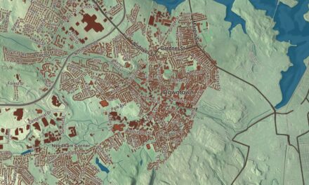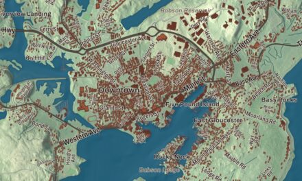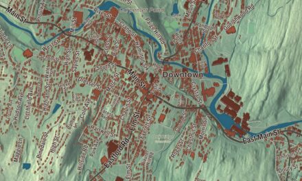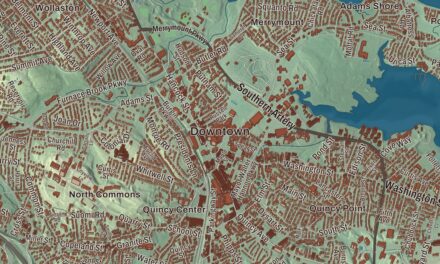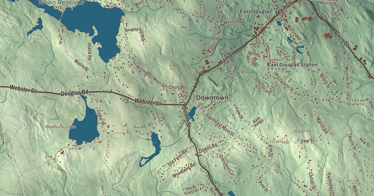
Douglas sits in the corner where Massachusetts meets Rhode Island and Connecticut, with the mill village of East Douglas on the Mumford River. This map prints Main Street, Southwest Main Street, Davis Street, South Street, Webster Street and Douglas Road, with Whitin Reservoir, Manchaug Pond, Badluck Lake, Bating Pond and Bald Hill. Click here to purchase a print of this map for your wall.
Douglas is in southern Worcester County, on the Rhode Island and Connecticut lines.
KNOWOL made this map in 2026 from public survey data and gave it the look of an old atlas. The relief comes from United States Geological Survey elevation data, and the roads and the town line come from the Census Bureau. Douglas covers 37.7 square miles, with Burrillville, Rhode Island, to the south and Thompson, Connecticut, to the southwest. The town had 8,983 people at the 2020 census.
A doctor’s gift and a name
Long before English settlers came, bands of Native people, chiefly the Nipmuc, held this part of Worcester County, and the Blackstone River was once called the Nipmuc River. The Town of Douglas’s recorded history, in the Secretary of the Commonwealth’s list, dates European settlement to 1721; the town’s page says English settlers were here as early as 1715, most of them from Sherborn and some from Natick, and for years the place was called New Sherborn. It was moved from Suffolk County into the new Worcester County in 1731. In 1746 Dr. William Douglass, a Boston physician, offered $500 toward free schools, along with 30 acres, a house and a barn, for the privilege of naming the township. The town’s page adds that he pledged more, a bell for the Center School and money for the ministry, but much of it never arrived. Douglas was incorporated as a town in 1775, and the town remains part of Worcester County today. During the Revolutionary War, the Marquis de Lafayette stopped here to change horses on his way to join General Washington in Boston.
Axes, wool and granite
The town’s forests gave rise to woodcutting and the Douglas axe company. In East Douglas a woolen company on the Mumford River, held in more recent times by the Schuster family, has been prominent in the town’s history, and the Winfield Shuster Mill is one of the mills that grew up along the river. Granite ledges in the center of town have supplied building and ornamental stone shipped to almost every part of New England. Ebenezer Balkcom opened a small store at Main and Pleasant (now Depot) streets in the 1830s, when East Douglas was becoming the town’s economic center. Edward L. Jenckes later bought it, his daughters ran it until it closed in 1964, and since 1972 the Douglas Historical Society has kept it as the E. N. Jenckes Store Museum, restored to look like the general store of a century ago.
In 1946, to welcome home the troops returning from World War II, Winfield A. Schuster arranged an exhibition game between the Boston Red Sox and the New York Yankees at the local ballpark, Soldiers Field, on September 26. About 12,000 people came, and the Yankees won, 8 to 7.
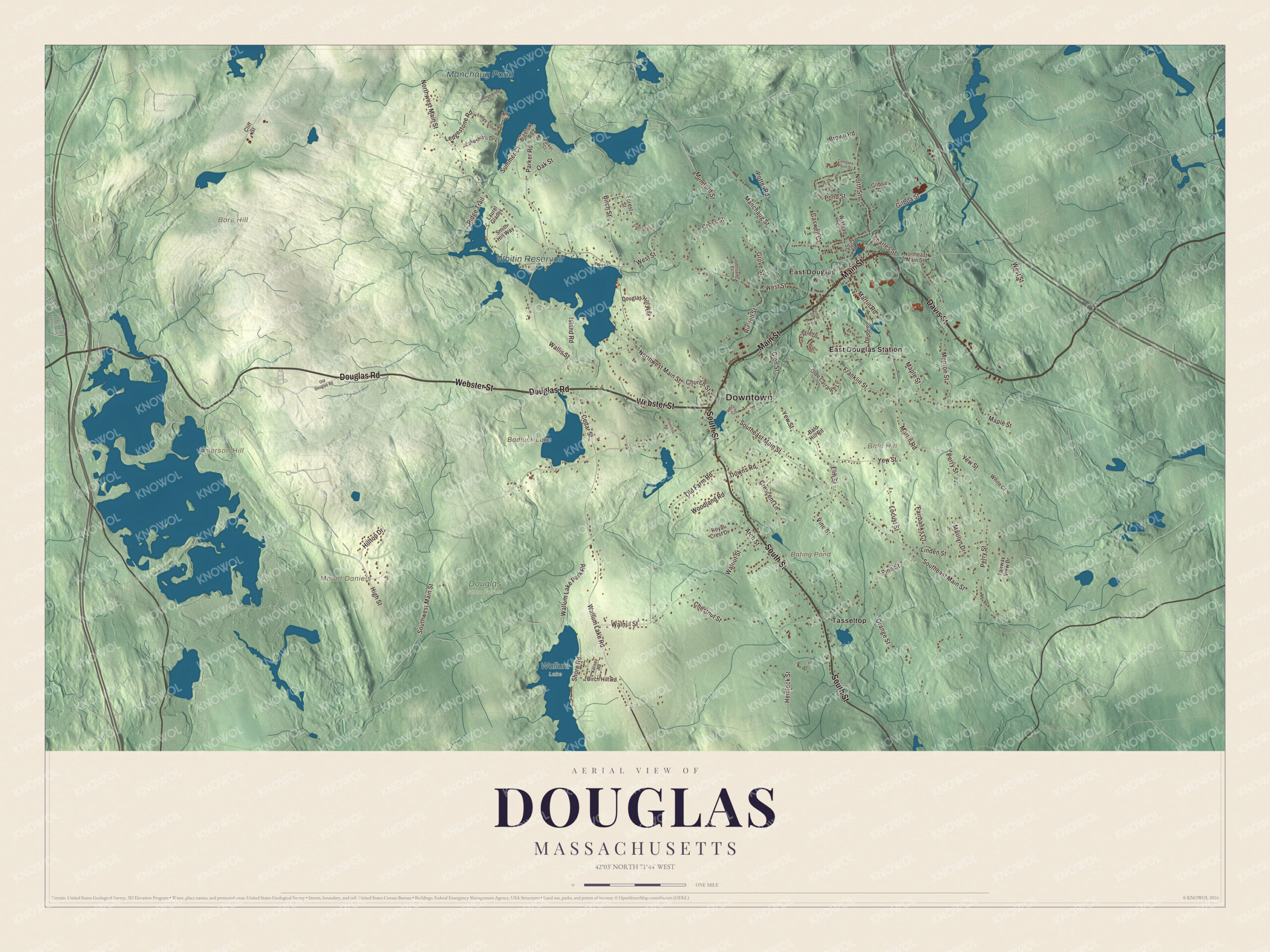
Click to explore a larger preview. The digital watermark does not appear on printed maps.
Names on this map
These names are printed on this map.
Places: Downtown, Bald Hill, Bare Hill, Emerson Hill, Mount Daniels, Badluck Lake, Bating Pond, Manchaug Pond, Whitin Reservoir, Douglas State Forest, Wallum Lake, East Douglas, East Douglas Station and Tasseltop.
Streets and roads: Main Street, Davis Street, South Street, Webster Street, Douglas Road, Southwest Main Street, Southeast Main Street, High Street, Manchaug Street, North Street, West Street, Pine Street.
More street names, A to Z
Arch Street, Bald Hill Road, Bigelow Road, Birch Hill Road, Birch Street, Brown Road, Caswell Court, Cedar Street, Charles Street, Chestnut Street, Churchill Road, Church Street, Cliff Street, Compass Point Drive, Conservation Drive, Cook Street, Crescent Lane, Cross Street, Depot Street, Douglas Hill Way, Downs Road, Eagle Drive, Elm Street, Fairbanks Court, Fairway View Drive, Forest Street, Franklin Street, Gilboa Court, Gilboa Street, Glen Street, Grove Street, Hemlock Street, Hilltop Drive, Island Road, Johnson Court, Kelly Circle, Kerney Road, Lakeshore Drive, Laurel Glades, Ledgestone Road, Ledge Stone Road, Ledgewood Drive, Linden Street, Locust Street, Maple Street, Marilyn Drive, Martin Road, Monroe Street, Mumford Street, Northeast Main Street, Northwest Main Street, Oak Street, Old Douglas Road, Olde Carraige Lane, Old Farm Road, Orange Street, Parker Court, Parker Road, Perry Street, Pond Street, Potter Road, Ridge Trail, Riedell Street, Robin Drive, Royal Crest Drive, Shore Road, Smith Hill Way, Summer Court, Sunset Drive, Towle Court, Vine Street, Wallis Street, Wallum Lake Park Road, Wallum Lake Road, Walnut Street, White Court, Wixtead Court, Woodland Road, Yew Street.
Ponds, hills and the state forest
Douglas has plenty of water. Whitin Reservoir, about 400 acres in the western part of town, is the largest pond. Badluck Lake, which the town’s page calls Badluck Pond, covers about 110 acres, also in the western part of town, and Manchaug Pond, about 93 acres in the north, is where the Mumford River begins on its way east to the Blackstone. Bald Hill, at 711 feet, is one of the town’s principal heights. Along the state lines, Douglas State Forest covers 5,525 acres, including Wallum Lake and a rare Atlantic white cedar swamp; the state bought its first 1,245 acres in 1934, and the Civilian Conservation Corps built a picnic pavilion and other improvements in the 1930s. A short side trail off the Midstate Trail leads to the marker where Connecticut, Massachusetts and Rhode Island meet. The Southern New England Trunkline Trail also crosses the forest. Many people believe its old tracks carried commuters, but the town’s page says they hauled ice from Wallum Lake, and the line was first planned as a railroad whose financier died in the sinking of the Titanic.
Around the map
Start with East Douglas, then follow Main Street, Davis Street, South Street, Webster Street, Douglas Road and Southwest Main Street across town, and look outward toward East Douglas Station and Tasseltop. Most of Douglas is part of the Blackstone River Valley National Heritage Corridor. Badluck Lake, Bating Pond, Manchaug Pond, Whitin Reservoir, Bald Hill, Bare Hill and Emerson Hill are all printed on the map.
The Douglas map makes a fine addition to an office, library or den, and it can help teach children the geography and history of a forest town on three state lines. It’s made for people who call Douglas home, from East Douglas to Tasseltop, and it shows the town as it looks today. Zoom in on the preview above to explore the details, then click here to get your copy of the Douglas, Massachusetts map.

We made a map for every town and city in Massachusetts. Explore the complete Massachusetts map collection and find your town.
Sources