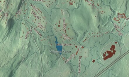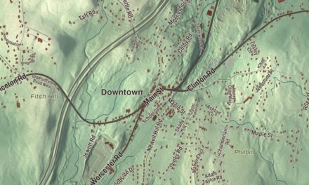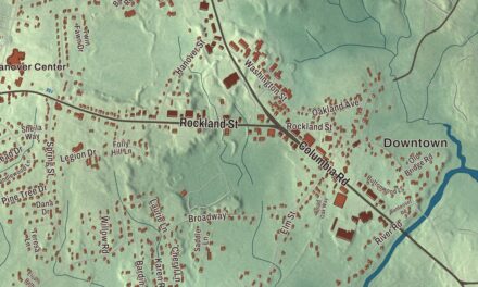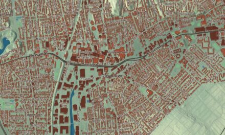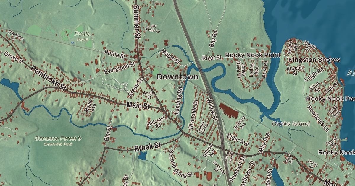
Kingston follows the Jones River from Silver Lake down to Kingston Bay. This map prints Main Street, Summer Street, Elm Street, Wapping Road, Bishops Highway and Indian Pond Road, with Rocky Nook Point, Cooks Island, Indian Pond, the Annasnappet Brook Reservoir and Sampson Forest. Click here to purchase a print of this map for your wall.
Kingston is in Plymouth County.
KNOWOL made this map in 2026 from public survey data and gave it the look of an old atlas. The relief comes from United States Geological Survey elevation data, and the streets and the town line come from the Census Bureau. Kingston covers 20.5 square miles on Kingston Bay, an inlet of Plymouth Bay, bordered by Pembroke, Duxbury, Plymouth, Carver and Plympton, about 35 miles south-southeast of Boston. Its highest natural point is Monk’s Hill, at 313 feet. The town had 13,708 people at the 2020 census.
Plymouth’s northern precinct
This was Wampanoag homeland, and several ancient Native burial sites have been found within the town. The Town of Kingston’s recorded history, in the Secretary of the Commonwealth’s list, dates European settlement to 1620, the year the Pilgrims landed at Plymouth, and the town page says settlers came here shortly after. The Pilgrims named the river for Christopher Jones, captain of the Mayflower. The Mayflower passenger John Howland settled at Rocky Nook between 1638 and 1640, and a stone wall and three cellar holes from his property are still there. Governor William Bradford is on the town’s list of notable people, and the Major John Bradford Homestead on Landing Road, begun around 1714, is now a house museum run by the Jones River Village Historical Society.
Kingston began as Plymouth’s northern precinct in 1717, when First Parish Kingston was formed in what is now the town center. After a tax dispute between the north and south ends of Plymouth, Kingston was incorporated as a town in 1726, on June 16, with land taken from Plymouth, Duxbury, Plympton and Pembroke. In 1857 it annexed a small part of Duxbury, the last change to its borders. The town remains part of Plymouth County today.
Ships, ice and the Jones River
Kingston shipbuilders on the Jones River built the Revolutionary War brig Independence, which served briefly in the Massachusetts Navy, and the ship is on the town seal. The town page says Kingston is home to the longest continuously run boat yard in North America, now called the Jones River Landing. In the early and middle 1800s the town thrived on shipbuilding and on ice. Each winter workers cut ice on Jones River Pond, the largest body of fresh water in town, and shipped it around the world, and the pond was renamed Silver Lake to help sell the ice. The name stuck. The town page also credits Kingston with the first co-op store in North America, which closed when the Silver Lake Post Office shut down in 1954.
Route 3 arrived in the 1950s and turned the small rural town into part of the Boston area, and its largest population growth came in the 1990s, when the Old Colony Railroad reopened as a commuter line. The river has been opening up again too. A dam on Wapping Road came out in 2011 and the Elm Street dam in 2019, and the Jones River now runs free for about 7.5 miles from the dam at Forge Pond and Silver Lake. A new fish ladder built at Forge Pond in 2019 opened the lake to sea-run fish for the first time in several centuries. Click here to learn more about the history of Kingston.
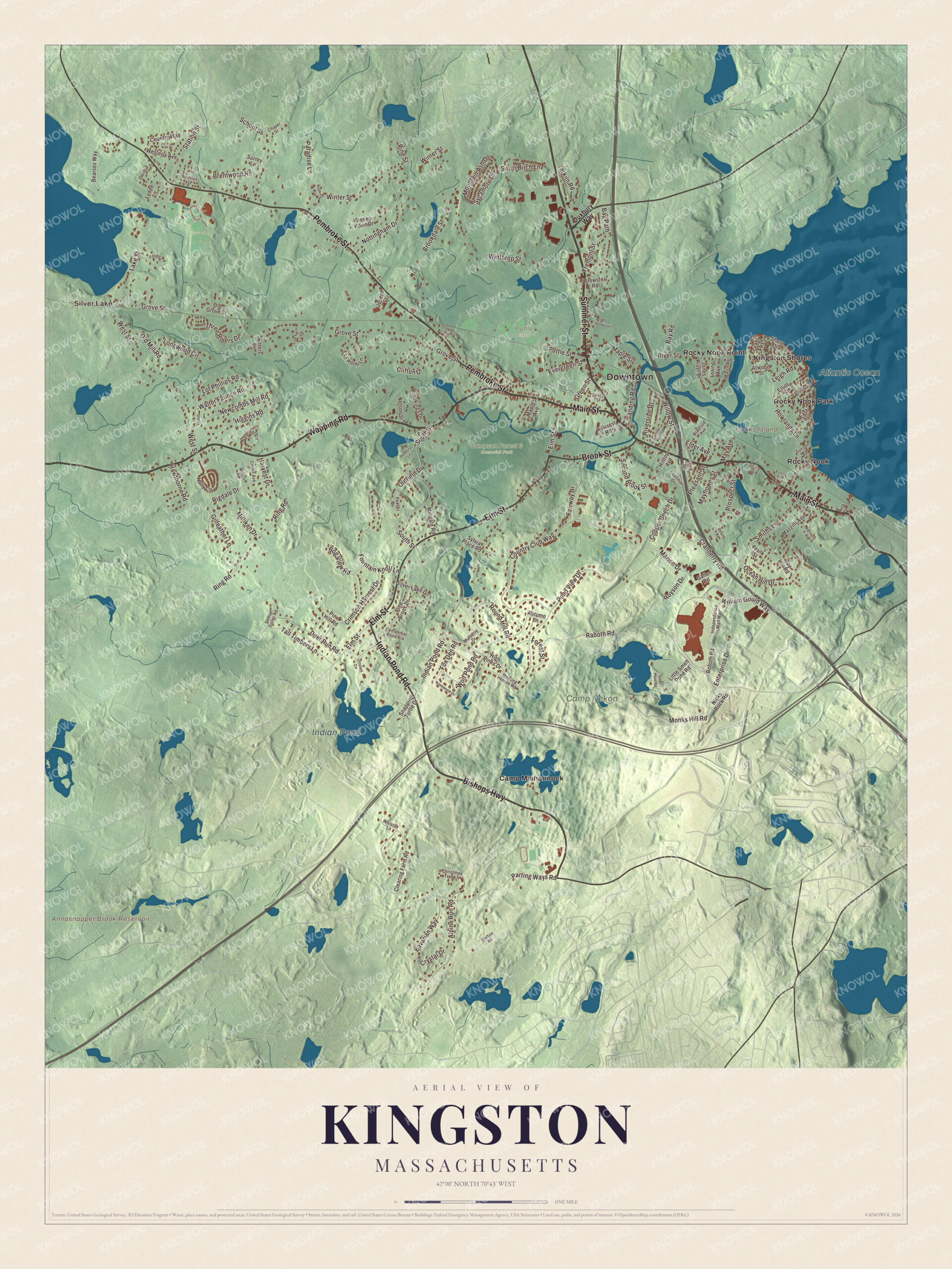
Click to explore a larger preview. The digital watermark does not appear on printed maps.
Names on this map
These names are printed on this map.
Places: Downtown, Silver Lake, Cooks Island, Annasnappet Brook Reservoir, Indian Pond, Atlantic Ocean, Camp Nekon, Pottle Field, Sampson Forest & Memorial Park, Camp Mishannock, Kingston Shores, Rocky Nook, Rocky Nook Park and Rocky Nook Point.
Streets and roads: Main Street, Summer Street, Bishops Highway, Indian Pond Road, Wapping Road, Elm Street, Brook Street, Pembroke Street, Monks Hill Road, Sycamore Drive, West Street, Parting Ways Road.
More street names, A to Z
Alpine Run Road, Atwood Street, Autumn Lane, Baker Avenue, Bavarian Way, Bay Hill Road, Bay Path, Bay Road, Bearses Way, Bog View Road, Bradford Avenue, Brentwood Road, Brewster Road, Brookdale Street, Brookings Drive, Centennial Pond Circle, Center Hill Road, Center Street, Chapel Street, Christmas Tree Lane, Clearing Farm Road, Clifton Drive, Cole Street, Cooke Avenue, Copper Beech Drive, Country Club Way, Country Way, Cranberry Road, Crimson Harvest Drive, Crystal Drive, Cushman Drive, Deer Run Road, Duxbury Way, East Avenue, Elder Avenue, Elliot Street, Enterprise Drive, Evergreen Street, Fairway Drive, Forest Street, Forge Road, Fountain Knoll Lane, Fox Den Road, Foxtail Drive, Foxworth Lane, Frank Street, Gallen Road, Gilfeather Lane, Graffam Road, Green Street, Grove Street, Harvest Drive, Hawthorne Road, Higgins Road, High Pines Drive, Hillcrest Road, Hilltop Avenue, Holly Circle, Home Park Court, Hopkins Way, Howlands Lane, Independence Mall Way, Jones River Drive, Joseph Street, Kennedy Road, Lake Street, Landing Road, Leigh Road, Leland Road, Little Smelt Pond Road, Longwood Circle, Loring Avenue, Lot Phillips Road, Lydon Lane, Maple Avenue, Maple Street, Marion Drive, Marsh Road, May Avenue, Mayflower Street, Mazzilli Avenue, Meeting House Road, Millgate Road, Milliken Drive, Montclair Avenue, Mountain Ash Drive, Mulberry Drive, Nelson Street, Newcombs Mill Road, Nicks Rock Road, Nobadeer Circle, Nottingham Drive, Ocean Hill Drive, Off Foster Lane, Oldfield Drive, Old Grove Street, Old Mill Road, Ortolani Circle, Paradise Lane, Peck Street, Peters Lane, Pine Brook Drive, Pine Hill Road, Pine Street, Pleasant Street, Podbury Lane, Pond View Drive, Pottle Street, Prospect Street, Raboth Road, Rigdale Drive, Ring Road, Riverside Drive, River Street, Roboth Road, Rosewood Drive, Round Hill Road, Royson Drive, Samuel Fuller Road, School Street, Seaver Avenue, Second Brook Street, Sheridan Drive, Sherry Lane, Shore Drive, Silver Birch Lane, Silver Lake Drive, Smelt Pond Road, Smiths Lane, Snapping Turtle Drive, South Street, Station Street, Stoney Point Drive, Strawberry Lane, Sunset Road, Surrey Lane, Sylvia Place Road, Tall Timbers Lane, Tarkiln Road, Three Rivers Drive, Tree Farm Estate, Tremont Street, Victory Road, Walter Faunce Road, Westerly Avenue, Whistler Lane, Wilder Road, William Gould Way, Willow Street, Winter Street, Winthrop Street, Wolf Pond Road.
See it on a wall
The Kingston map as a framed print. Swipe for more.


Around the map
Start with Silver Lake, then follow Main Street, Summer Street, Bishops Highway, Indian Pond Road, Wapping Road and Elm Street across town. Silver Lake is both the lake, shared with Pembroke and Plympton and now Brockton’s main water supply, and a village southeast of it at Grove Street and Lake Street. Look outward toward Kingston Shores, Rocky Nook, Rocky Nook Park and Rocky Nook Point. Rocky Nook sits on a small peninsula where the Jones River meets the sea, near Duxbury, and in 1904 investors from Brockton turned 30 acres there into the Rocky Nook Park summer resort, with cottages that later became year-round homes. Gray’s Beach is in the same neighborhood. The Annasnappet Brook Reservoir, Indian Pond, the Atlantic Ocean, Sampson Forest and Cooks Island are all printed on the map, and every one of those names is right there on the artwork. Indian Pond, a shallow 66-acre pond, lies partly in Plympton.
The Kingston map makes a fine addition to an office, library or den, and it can help teach children the geography and history of a river town settled by the Pilgrims. It’s made for people who call Kingston home, from Silver Lake to Rocky Nook, and it shows the town as it looks today. Zoom in on the preview above to explore the details, then click here to get your copy of the Kingston, Massachusetts map.

Sources
- Kingston, Massachusetts, Wikipedia
- Jones River, Wikipedia
- Silver Lake (Plymouth County, Massachusetts), Wikipedia
- Rocky Nook, Massachusetts, Wikipedia
- Bradford House (Kingston, Massachusetts), Wikipedia
- Indian Pond (Kingston, Massachusetts), Wikipedia
- City and Town Incorporation and Settlement Dates, Secretary of the Commonwealth of Massachusetts (archived copy)