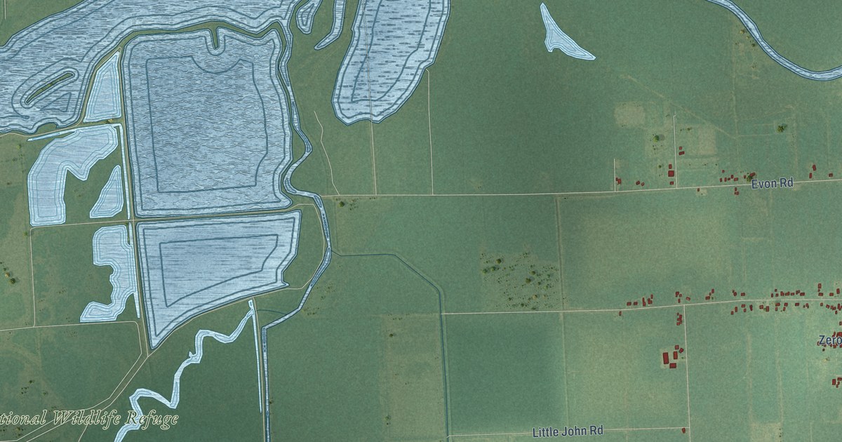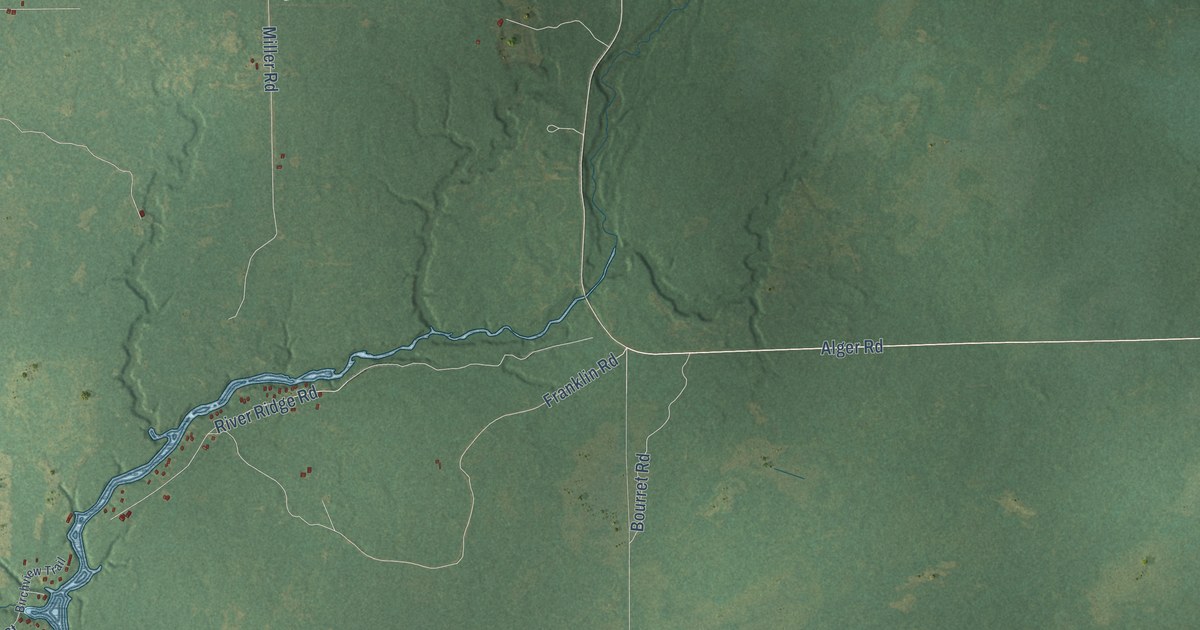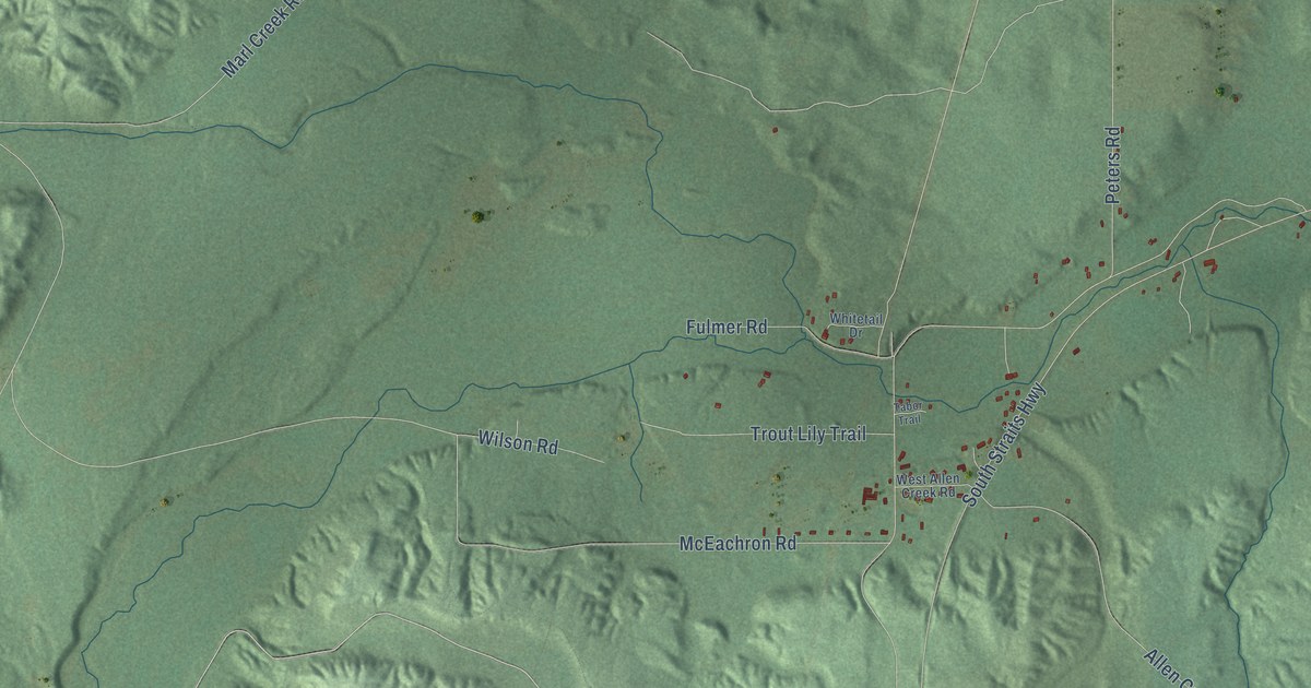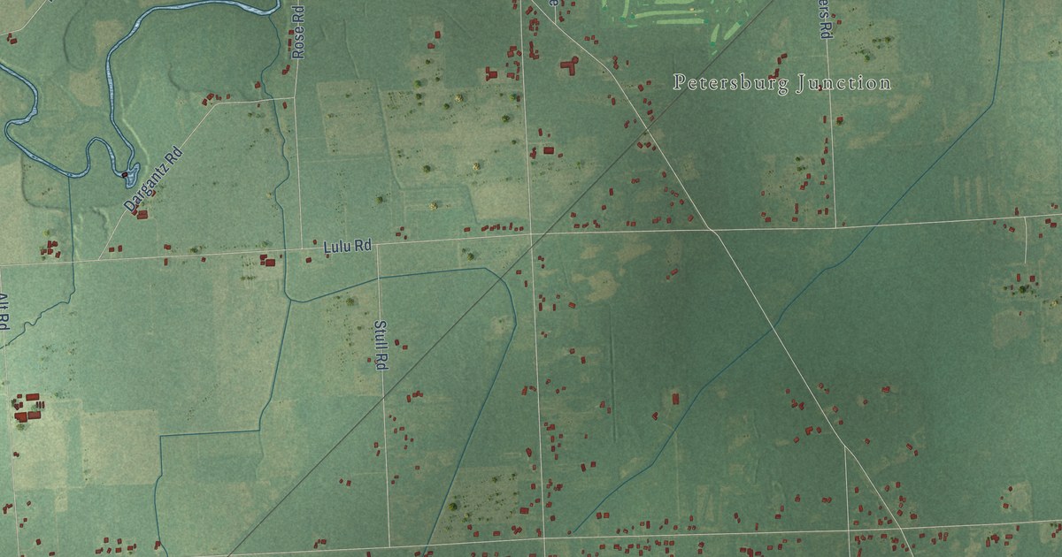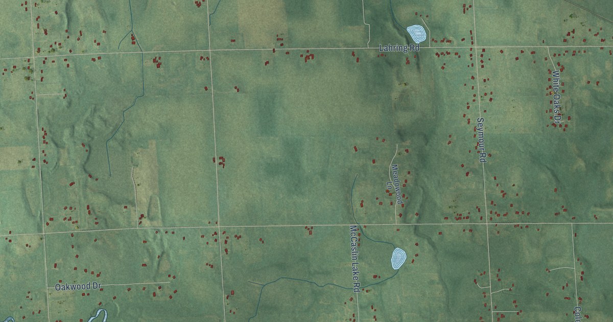
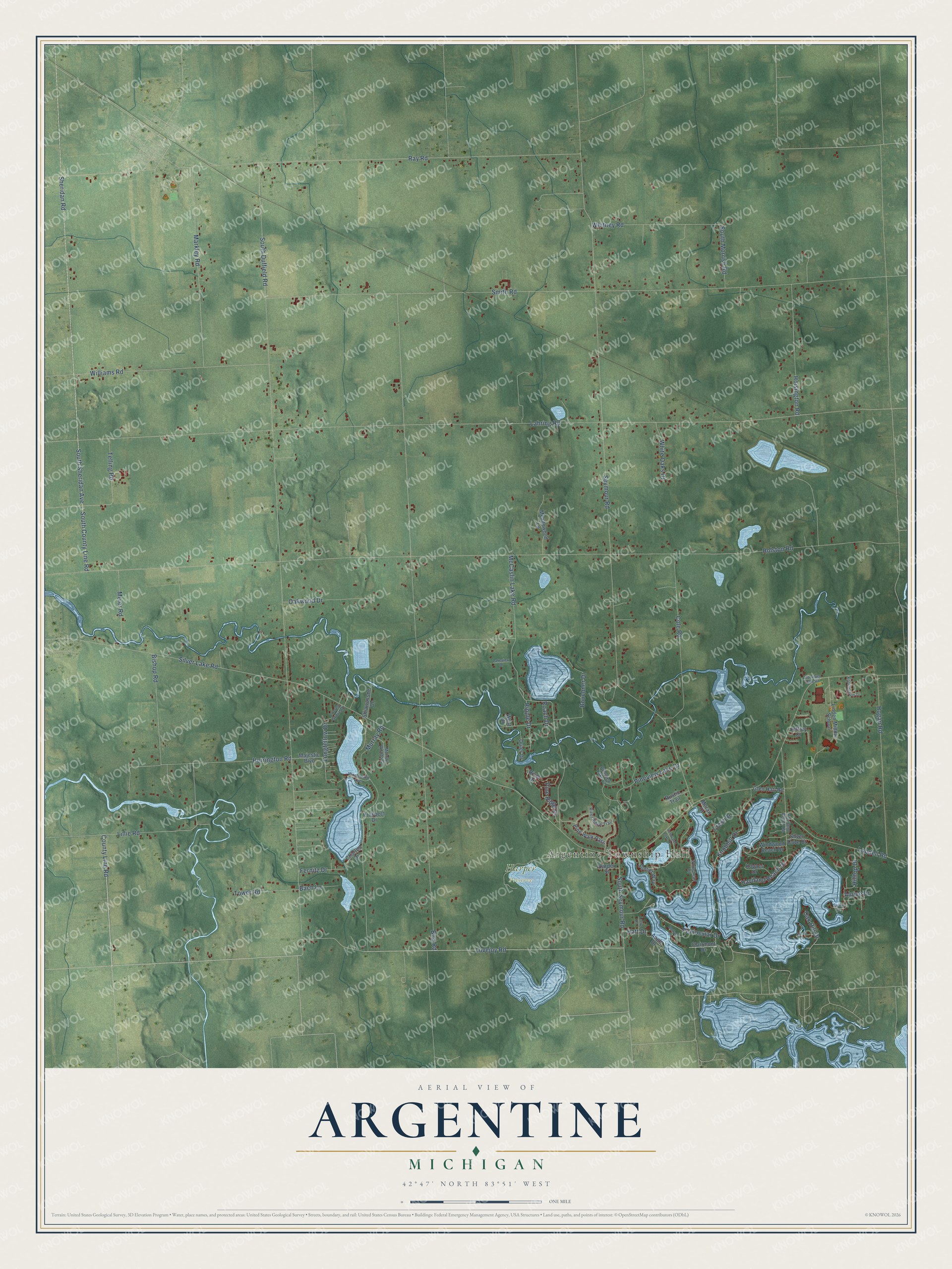
This beautifully detailed map of Argentine, Michigan was created in 2026 using aerial imagery combined with modern topographical, census, street and landmark data. It's a modern aerial view of Argentine in Genesee County, Michigan, that combines modern data with a vintage aesthetic. The roads feature printed names, and if you look closely you can find your exact house accurately shown in its correct location.
Explore an aerial view of Argentine, Michigan
On this map you'll find Argentine Township Hall, Harper Preserve, Sheridan Road, County Line Road, Ray Road, Lovejoy Road, Peninsular Drive, Silver Lake Road, South Duffield Road, Lahring Road, Rolston Road, Seymour Road, and more. Each red shape is a building, so zoom in on the preview and look for yours.
Argentine has a story worth telling. The History of Genesee County puts it this way: "A post-office was established at the village at an early day, and called Booton, but, owing to its inconvenience on account of another office existing in the State with a somewhat similar name, it was finally changed to Argentine. James H. Murray was the first postmaster, and to him is given the credit of naming the township."
The Census Bureau counted 7,091 people here in 2020.
Take a closer look at the Argentine map
Names on this map
These names are printed on this map.
Places: Argentine Township Hall and Harper Preserve.
Streets and roads: Sheridan Road, County Line Road, Ray Road, Lovejoy Road, Peninsular Drive, Silver Lake Road, South Duffield Road, Lahring Road, Rolston Road, Seymour Road, Bird Road, Smith Road.
More street names, A to Z
Alpine Drive, Angle Drive, Bach Lane, Belfast Drive, Bishop Road, Bouchner Drive, Charles Drive, Clairmont Drive, Cole Road, Crest Drive, Fernitz Drive, Glen Hatt Road, Harper Street, Hatt Drive, Haviland Beach Drive, Haviland Beach Road, Herrington Road, Hilltop Drive, Hogan Road, Hoisington Road, Jeffrey Court, Knobhill Drive, Knottingham Drive, Kovacs Drive, Lakeview Drive, Lillie Road, Linden Middle School, Lobdell Road, Locke Drive, Locust Grove Drive, Longfellow Drive, Majestic Boulevard, Markley Road, McCaslin Lake Road, Meadowood Lane, Meier Road, Moran Drive, Murray Road, Murray Woods Court, Oak Hill Drive, Oakwood Drive, Old Silver Lake Road, Outer Drive, Pine Ridge Drive, Pineview Lake Court, Pineview Lake Drive, Pine Walk Pass, Prospect Drive, Ripple Drive, River Drive, River Ridge Trail, Roach Drive, Rustic Trail, Selma Drive, Shiawassee Drive, Silver Cove Court, Softwater Lake Drive, South County Line Road, South Morrish Road, South Seymour Road, South Sheridan Avenue, Sunset Way, Switzer Drive, Telling Road, Tower Road, West Drive, Whitehead Drive, White Oaks Drive, Whitney Road, Williams Road, Windwood Beach Drive, Woodward Avenue.
Created by KNOWOL in 2026. The buildings are small red shapes, the roads carry their printed names, and shaded relief shows the shape of the land. The title panel reads "AERIAL VIEW OF ARGENTINE, MICHIGAN" with 42°47' NORTH 83°51' WEST.
It looks right in a kitchen, an office or a den, and it's a gift for anyone who grew up in Argentine or moved away. Open the preview and find your street. See sizes and frames for the Argentine map.