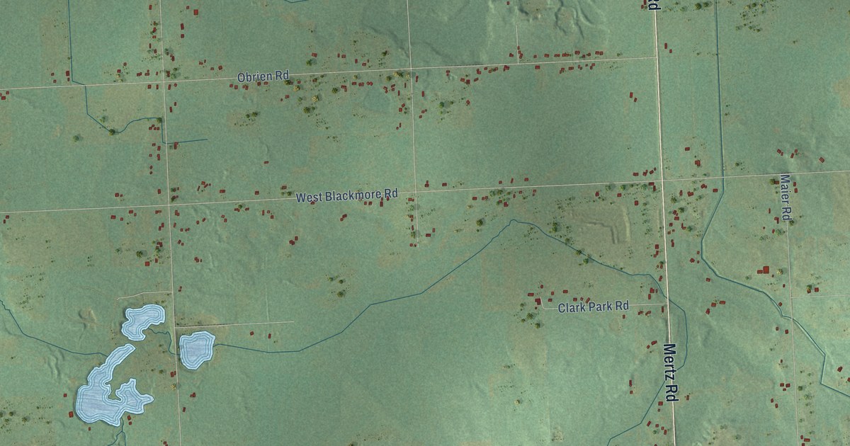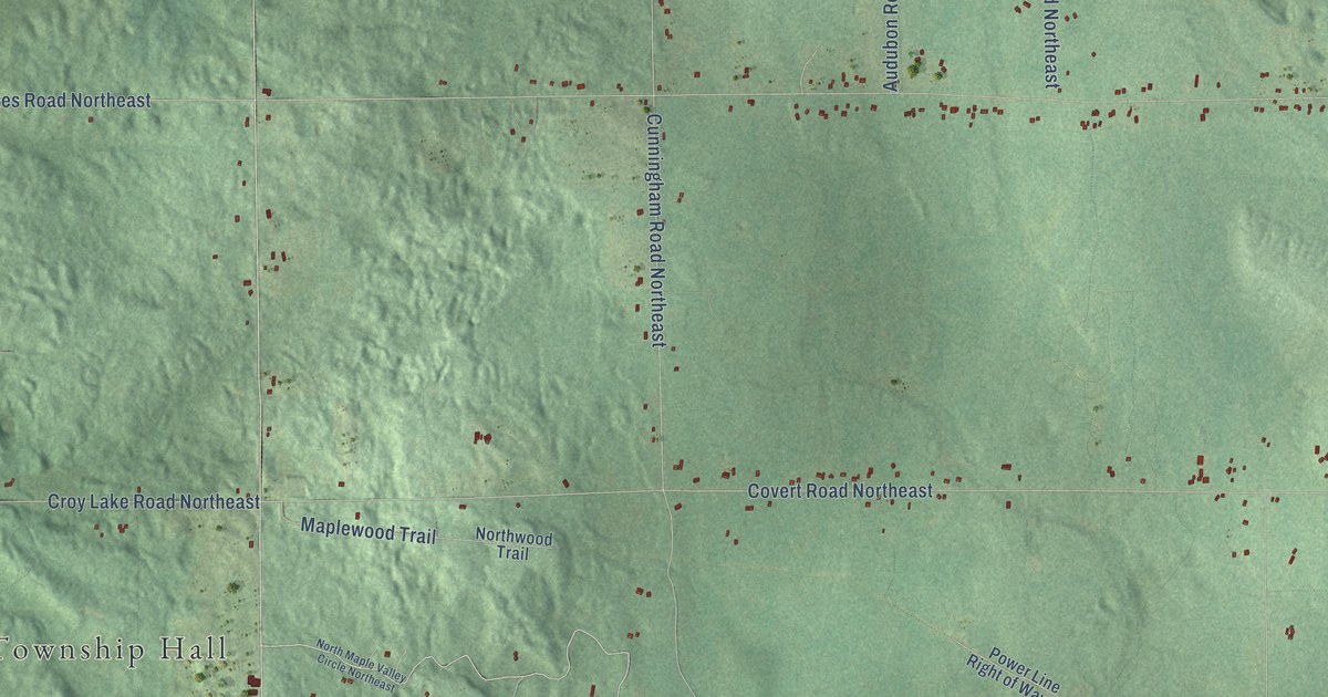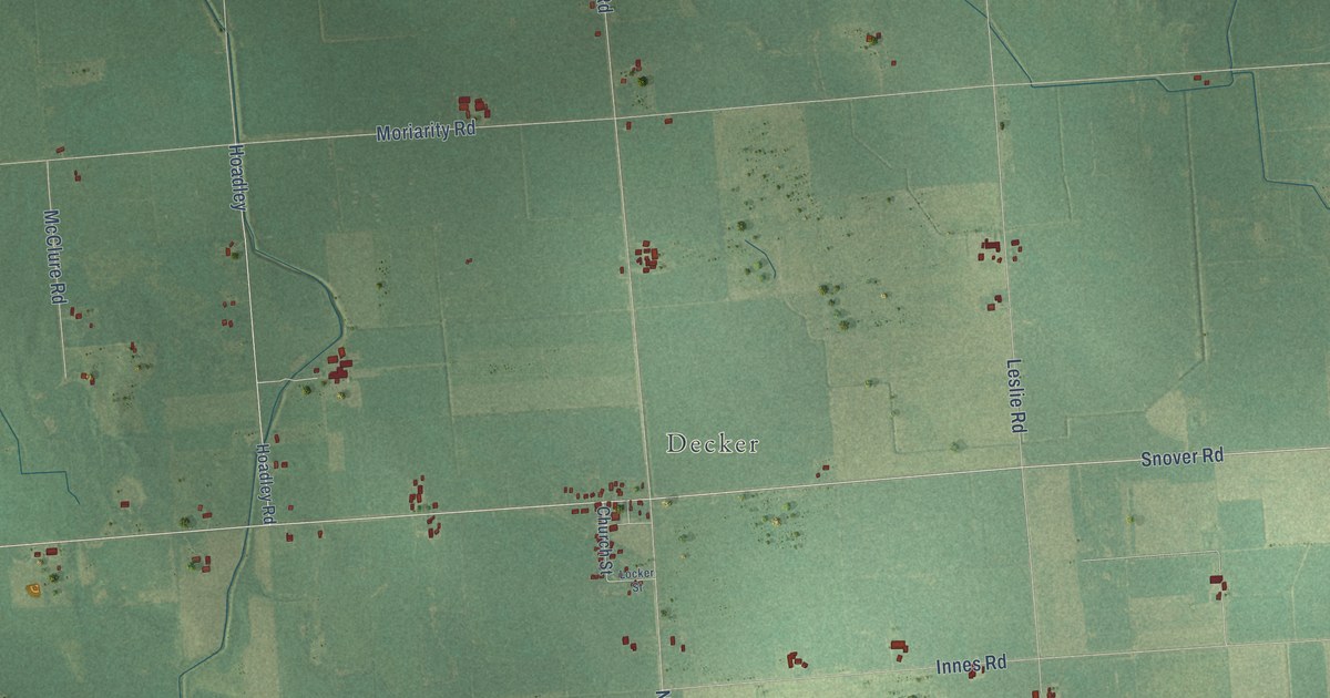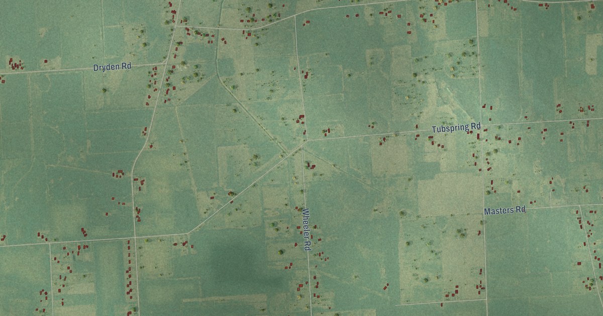
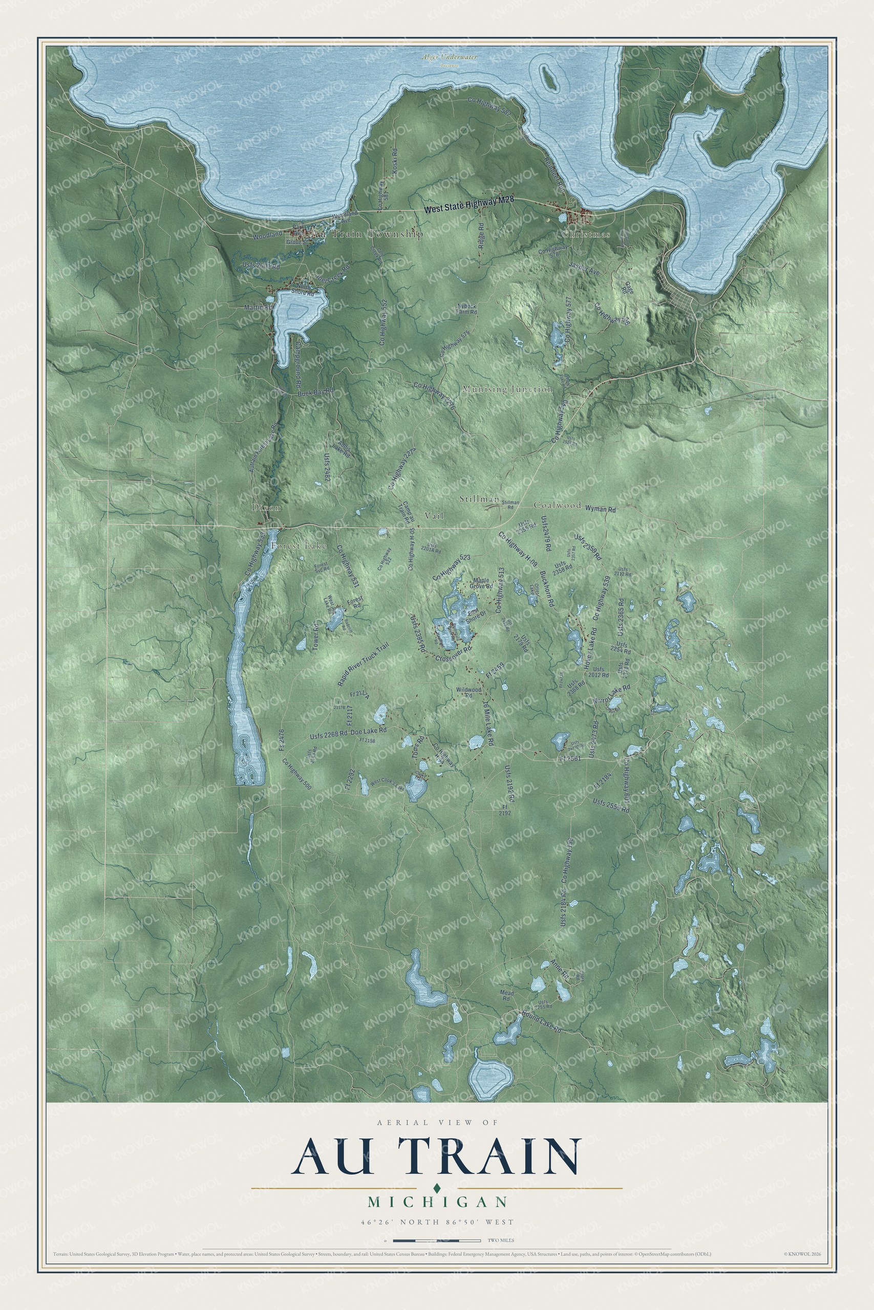
This beautifully detailed map of Au Train, Michigan was created in 2026 using aerial imagery combined with modern topographical, census, street and landmark data. It's a modern aerial view of Au Train in Alger County, Michigan, that combines modern data with a vintage aesthetic. The roads feature printed names, and if you look closely you can find your exact house accurately shown in its correct location.
Explore an aerial view of Au Train, Michigan
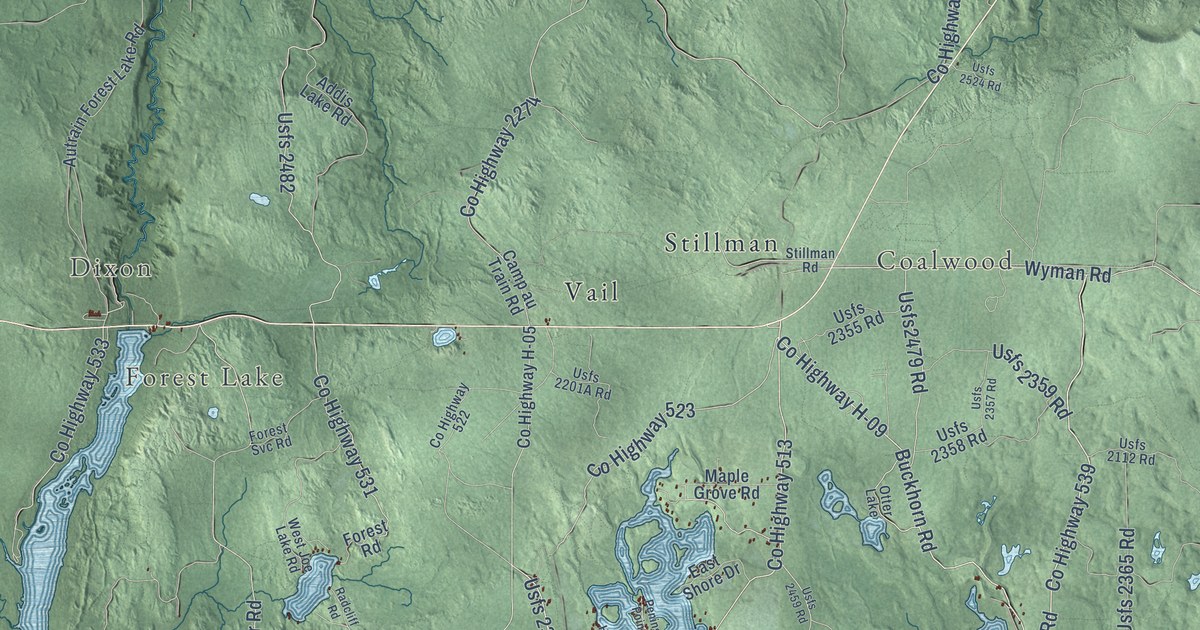
On this map you'll find Au Train Township, Christmas, Munising Junction, Dixon, Forest Lake, Coalwood, Alger Underwater Preserve, Stillman, Vail, West State Highway M28, Round Lake Road, Ff 2561, and more. Each red shape is a building, so zoom in on the preview and look for yours.
Every town has a first chapter, and Au Train is no exception. The record at arcgis.com puts it this way: "Built of hand hewn cedar logs securely dovetailed at the corners, the house was occupied by Paulson and his wife until their deaths in 1925."
The Census Bureau counted 1,019 people here in 2020.
Take a closer look at the Au Train map
Names on this map
These names are printed on this map.
Places: Au Train Township, Christmas, Munising Junction, Dixon, Forest Lake, Coalwood, Alger Underwater Preserve, Stillman, Vail, West Cook's Lake and Otter Lake.
Streets and roads: West State Highway M28, Round Lake Road, Ff 2561, Hovey Lake Road, 16 Mile Lake Road, Anne Road, County Highway 513, County Highway H-09, County Highway 523, Usfs 2395 Road, Usfs 2184 Road, County Highway 539.
More street names, A to Z
Addis Lake Road, Autrain Forest Lake Road, Buck Bay Road, Buckhorn Road, Camp au Train Road, Campground Road, Cole Creek Road, Cooks Trail, County Highway 199, County Highway 500, County Highway 522, County Highway 531, County Highway 533, County Highway 540, County Highway 552, County Highway 575, County Highway 576, County Highway 577, County Highway 578, County Highway 581, County Highway 587, County Highway 589, County Highway 601, County Highway 2274, County Highway 2276, County Highway H-05, County Highway H-44, Crossover Road, Doe Lake Road, East Shore Drive, Ff 2117, Ff 2158, Ff 2184, Ff 2192, Ff 2292, Ff 2459, Forest Road, Forest Svc Road, Fs 2476, Gage Road, Glory Road, Grove Street, Hayward Road, Jasper Avenue, Joel Creek Road, Koski Road, Maple Grove Road, Martin Road, Mead Road, Mirror Lake Road, North Shore Road, Nybeck Farm Road, Old Golf Course Road, Olson Road, Park Avenue, Peninsula Point Road, Perch Lake Road, Radcliff Road, Rapid River Truck Trail, Reindeer Run, Ridge Road, Stillman Road, Toms Road, Tower Road, Usfs 2001 Road, Usfs 2012 Road, Usfs 2112 Road, Usfs 2143 Road, Usfs 2179 Road, Usfs 2192 Road, Usfs 2254 Road, Usfs 2255 Road, Usfs 2268 Road, Usfs 2276 Road, Usfs 2355 Road, Usfs 2357 Road, Usfs 2358 Road, Usfs 2359 Road, Usfs 2365 Road, Usfs 2368 Road, Usfs 2371 Road, Usfs 2459 Road, Usfs 2473 Road, Usfs2479 Road, Usfs 2482, Usfs 2524 Road, Usfs 2559 Road, West Joe Lake Road, Wildwood Road, Woodland, Woodland Avenue, Wyman Road.
Created by KNOWOL in 2026. The buildings are small red shapes, the roads carry their printed names, and shaded relief shows the shape of the land. The title panel reads "AERIAL VIEW OF AU TRAIN, MICHIGAN" with 46°26' NORTH 86°50' WEST.
Hang it in the hallway, the office or the cabin, or give it to someone who left Au Train and still calls it home. Open the preview and look for a street you know. See sizes and frames for the Au Train map.