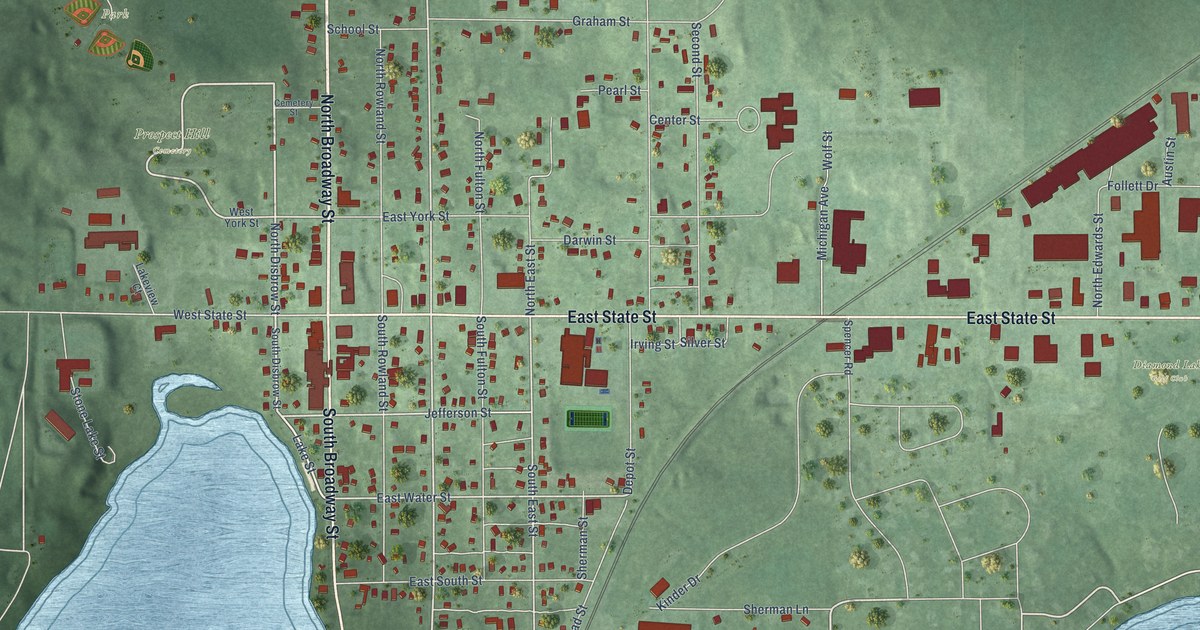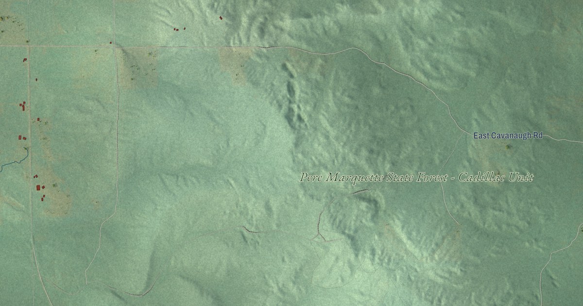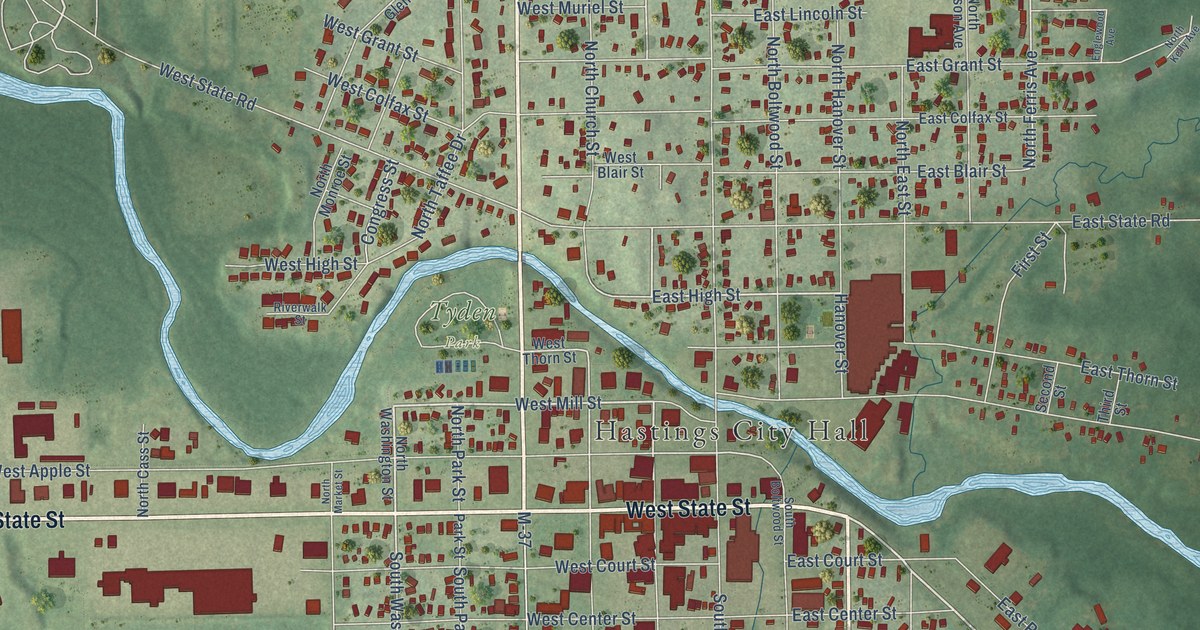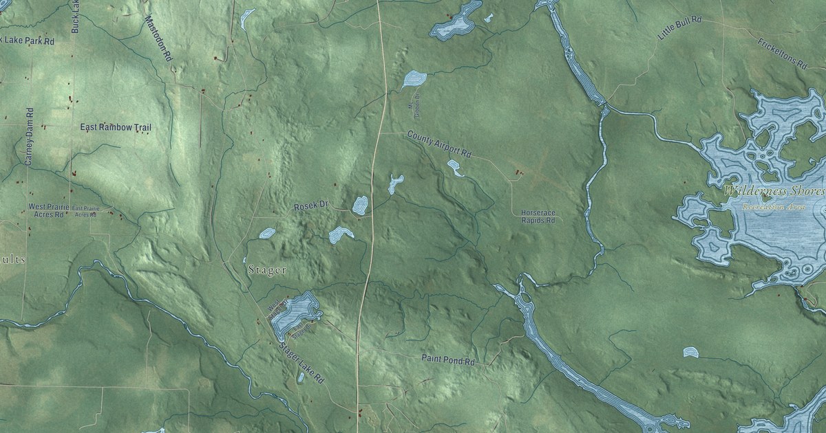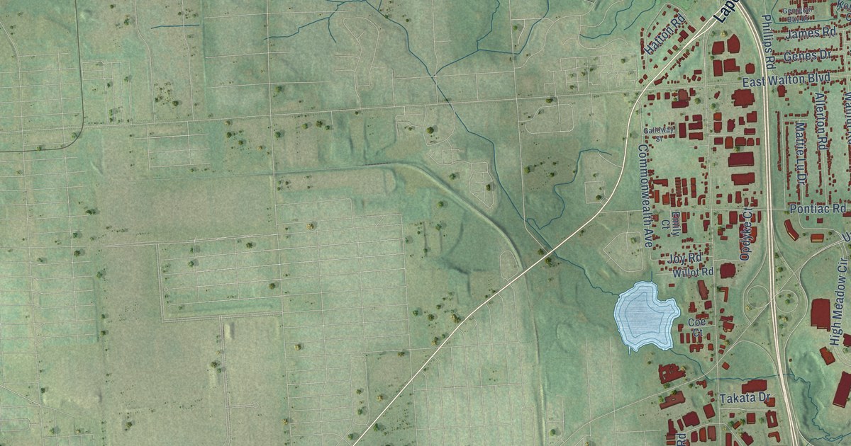
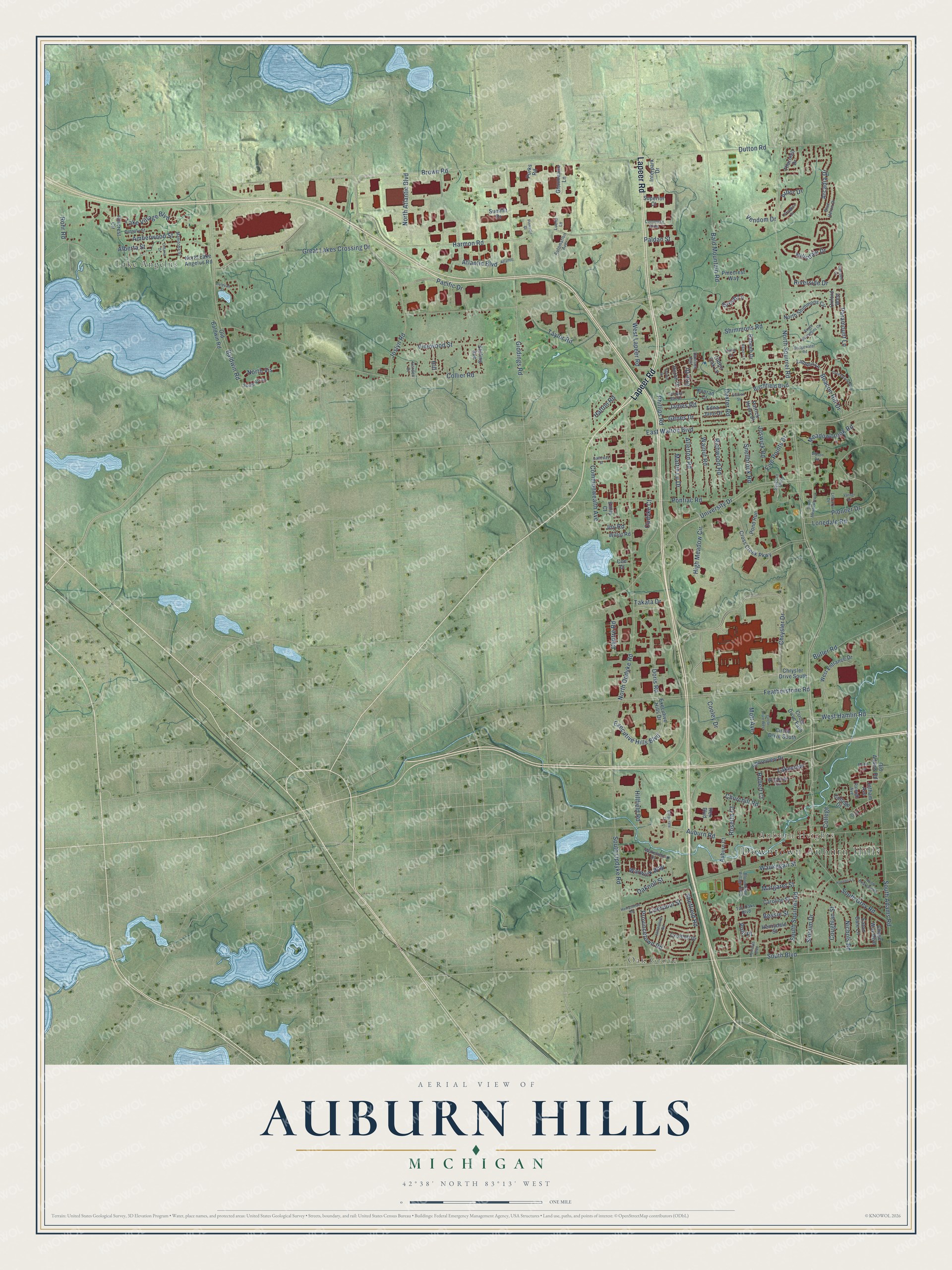
This beautifully detailed map of Auburn Hills, Michigan was created in 2026 using aerial imagery combined with modern topographical, census, street and landmark data. It's a modern aerial view of Auburn Hills in Oakland County, Michigan, that combines modern data with a vintage aesthetic. The roads feature printed names, and if you look closely you can find your exact house accurately shown in its correct location.
Explore an aerial view of Auburn Hills, Michigan
On this map you'll find Downtown Auburn Hills, Oak Grove, Auburn Heights, Lake Angelus, Lapeer Road, North Squirrel Road, Chrysler Drive, South Boulevard, Brown Road, East Walton Boulevard, Pacific Drive, University Drive, and more. Each red shape is a building, so zoom in on the preview and look for yours.
Here is a piece of Auburn Hills history, in the words of the record. The City of Auburn Hills puts it this way: "Auburn Hills began as the town of Auburn in 1821 at what is today the corner of Auburn and Squirrel Roads. Situated on the Clinton River, it was named by Aaron Webster, the first settler, for Auburn, New York."
Auburn Hills is a city in Oakland County. The Census Bureau counted 24,360 people here in 2020.
Take a closer look at the Auburn Hills map
Names on this map
These names are printed on this map.
Places: Downtown Auburn Hills, Oak Grove, Auburn Heights and Lake Angelus.
Streets and roads: Lapeer Road, North Squirrel Road, Chrysler Drive, South Boulevard, Brown Road, East Walton Boulevard, Pacific Drive, University Drive, Commonwealth Avenue, North Opdyke Road, West Hamlin Road, Pioneer Drive.
More street names, A to Z
Alberta Street, Allerton Road, Amberwood Street, Arbor Drive, Arcadia Drive, Atlantic, Atlantic Boulevard, Auburn Court, Auburn Road, Automation Avenue, Bald Mountain Road, Baldwin Road, Beacon Hill Drive, Bessie Street, Birchfield Boulevard, Bloomfield Village Boulevard, Blue Heron Drive, Bridgewater Road, Butler Road, Calgary Street, Camden Court, Carly Court, Caroline Street, Centre Road, Chase Way Boulevard, Chrysler Drive South, Churchill Road, Circle Drive East, Circle Drive South, Circle Drive West, Coe Court, College, College Drive, Collier Road, Commerce Parkway, Cooley Drive, Corporate Drive, Coughlan Street, Crofthill Drive, Cross Creek Parkway, Davison Avenue, Delevan Street, Dexter Road, Doris Road, Dutton Road, Eaton Gate Lane, Edna Jane Drive, Elk Court, Elstead Street, Emily Court, Erie Drive, Executive Hills Boulevard, Executive Hills Drive, Featherstone Road, Five Points Drive, Galloway Street, Garden Court, Genes Drive, Georgian Bay Drive, Giddings Road, Glenmeade Lane, Great Lakes Crossing Drive, Greenstone Boulevard, Grove Lane, Harmon Road, Hatton Road, Havens Lane, Hempstead Road, Henrydale Street, High Meadow Circle, Hill, Hillcrest Circle, Hillfield Road, Hillsdale Drive, Huntclub Boulevard, Huron Drive, Interpark Drive, James Road, Jamestown Road, Joslyn Road, Joswick Road, Jotham Avenue, Joy Road, Konrad Court, Lakeview, Lake Village Boulevard, Lantern Lane, Lexington Drive, Library Drive, Liverpool Street, Lonedale Road, Luella Lane, Manitoba Street, Maple Lane, Margaret Street, Mattie Lu Drive, Meadowbrook Road, Mott Avenue, Nichols Road, North Atlantic Boulevard, North Briarvale Road, North Lake Angelus Road, North Shimmons Circle, North Vis, Oaknoll Street, Old Adams Road, Old Baldwin Road, Olden Oak Lane, Ontario Drive, Opdyke Court, Oxford West, Paldan Street, Paramount Lane, Patrick Henry Street, Phillips Road, Pinecrest Way, Pinnacle Court, Polo Place, Pond Run, Pontiac Road, Provincetown Road, Purks Road, Rabeeh Drive, Raleigh Avenue, Ramzi Lane, Rex Boulevard, Richwood Road, Riverside Drive, Robert Court, Rohr Road, Rosetta Court, Seyburn Boulevard, Sheffield Road, Shimmons Road, Shoreview Drive, Slocum Drive, Snellbrook Road, South Adams Road, South Grey Road, South Meadowbrook, South Opdyke Road, South Shimmons Circle, South Squirrel Road, South Vis Drive, Stirling Avenue, Summit Drive, Superior Court, Sylvan Drive, Takata Drive, Tall Oaks Boulevard, Taylor Road, Thornhill Drive, Varner Drive, Vendom Drive, Vinewood Street, Wakefield Drive, Walnut Road, Warwick Way, Waukegan Street, West Entrance Drive, West Lapeer Road, Willot Road, Wilson Road, Woodside Circle.
Created by KNOWOL in 2026. The buildings are small red shapes, the roads carry their printed names, and shaded relief shows the shape of the land. The title panel reads "AERIAL VIEW OF AUBURN HILLS, MICHIGAN" with 42°38' NORTH 83°13' WEST.
It suits a den, a classroom or a front hall, and it makes a gift for anyone with Auburn Hills roots. Open the preview and find the block you know. See sizes and frames for the Auburn Hills map.