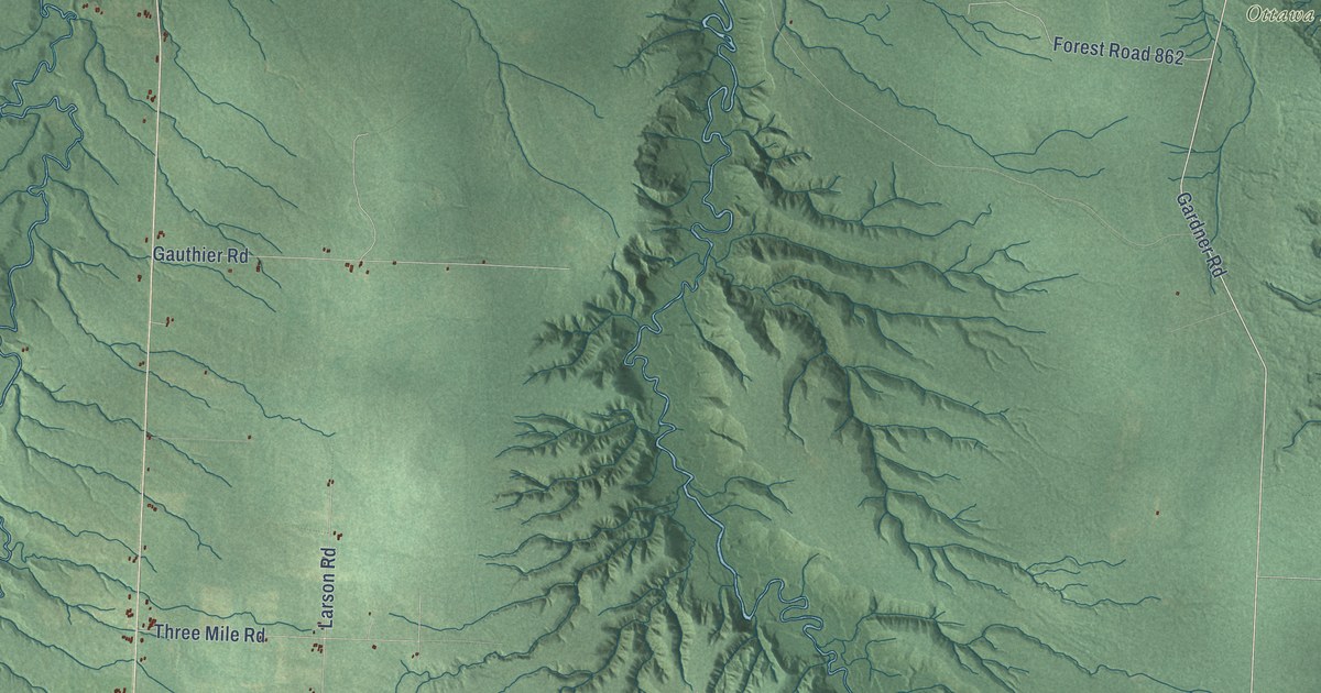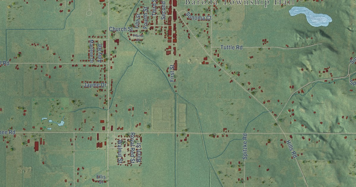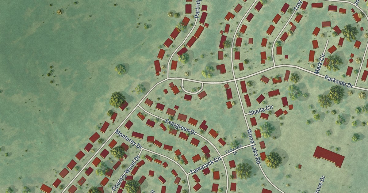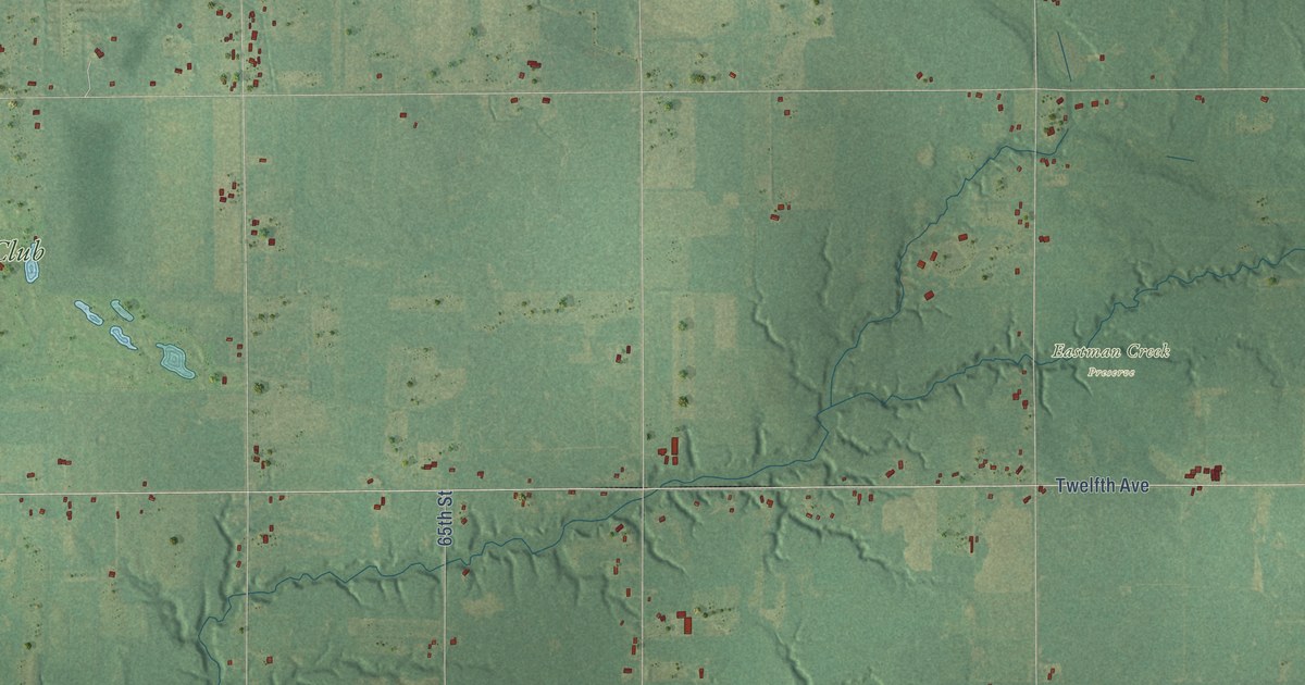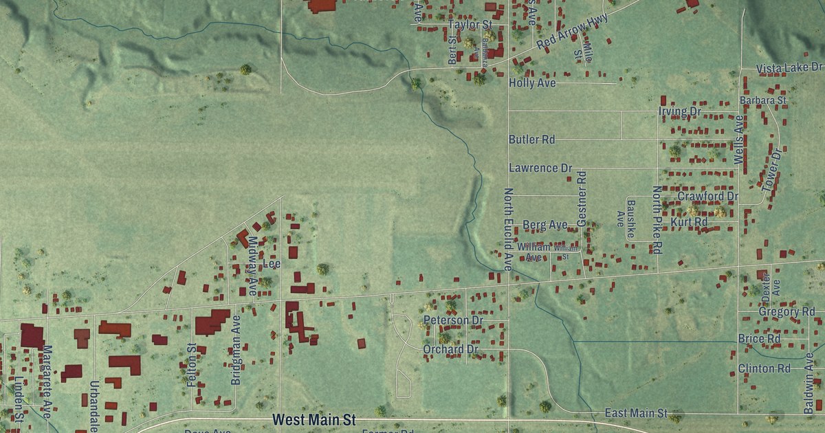
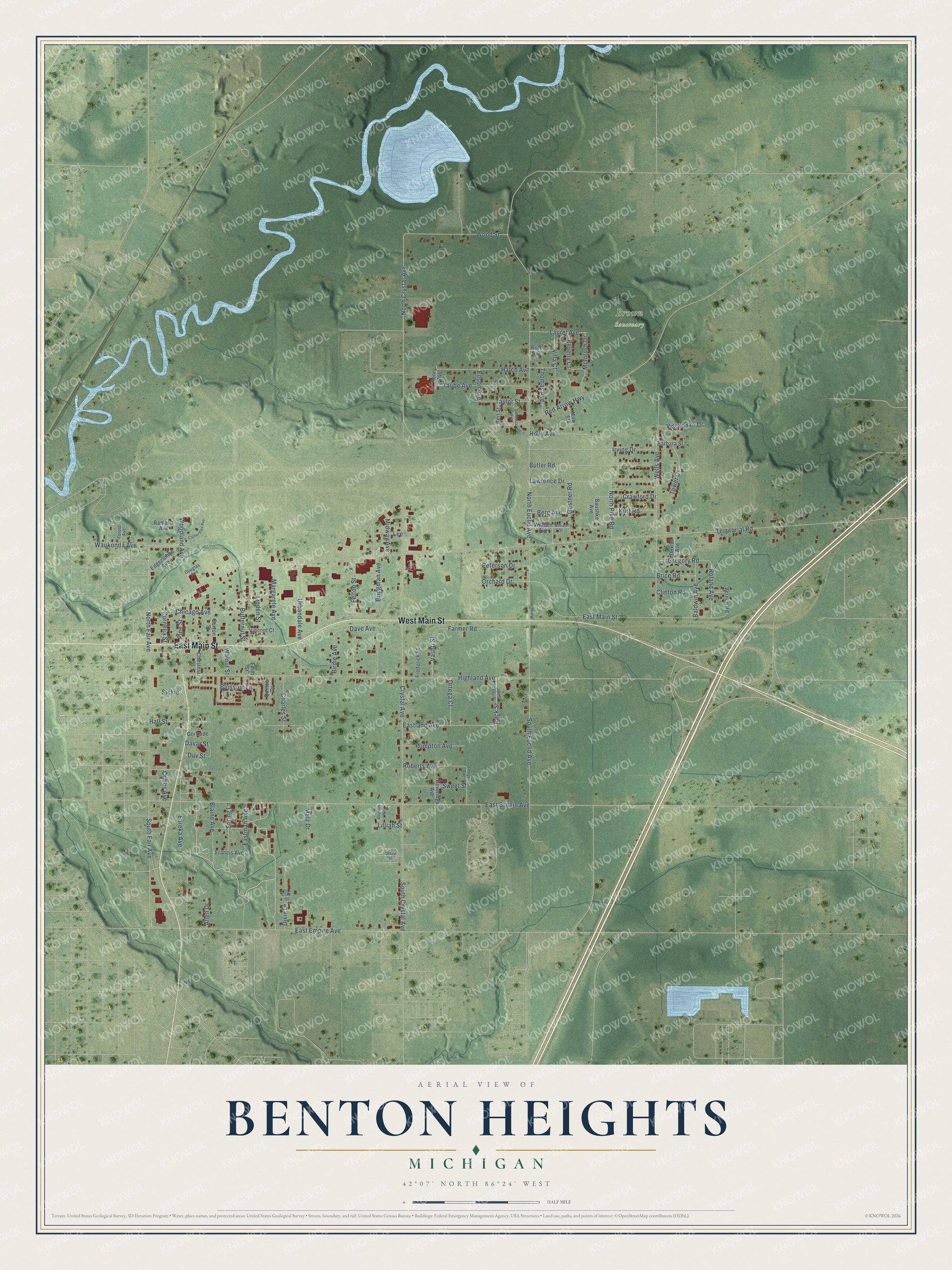
This beautifully detailed map of Benton Heights, Michigan was created in 2026 using aerial imagery combined with modern topographical, census, street and landmark data. It's a modern aerial view of Benton Heights in Berrien County, Michigan, that combines modern data with a vintage aesthetic. The roads feature printed names, and if you look closely you can find your exact house accurately shown in its correct location.
Explore an aerial view of Benton Heights, Michigan
On this map you'll find Brown Sanctuary, West Main Street, East Main Street, Crystal Avenue, Orchard Drive, North Fair Avenue, Eastland Avenue, South Euclid Avenue, Dave Avenue, Territorial Road, North Euclid Avenue, Red Arrow Highway, and more. Each red shape is a building, so zoom in on the preview and look for yours.
Here is a piece of Benton Heights history. Benjamin and Mary Purnell founded the House of David, a communal religious colony, in 1903. At its peak it had a thousand members and ran prize-winning farms and an amusement park with miniature trains. Its baseball teams, known for their long hair and beards, barnstormed the country in the 1920s and 1930s. After Benjamin Purnell died in 1927, the community split, and Mary founded Mary's City of David on the neighboring site in 1930. At a time when resorts were restricted by race and ethnicity, it welcomed Jewish visitors with cabins and a synagogue. That's from the Michigan History Center.
Benton Heights is a community in Berrien County. The Census Bureau counted 3,652 people here in 2020. Benton Heights sits about 2 miles east of Benton Harbor, 3 miles northeast of Fair Plain and 4 miles west of Millburg. The map prints the town name in its title panel, with the coordinates below it.
Take a closer look at the Benton Heights map
Names on this map
These names are printed on this map.
Places: Brown Sanctuary.
Streets and roads: West Main Street, East Main Street, Crystal Avenue, Orchard Drive, North Fair Avenue, Eastland Avenue, South Euclid Avenue, Dave Avenue, Territorial Road, North Euclid Avenue, Red Arrow Highway, North Crystal Avenue.
More street names, A to Z
Allen Drive, Baldanza Avenue, Baldwin Avenue, Barbara Street, Baushke Avenue, Berg Avenue, Bert Street, Beveridge Avenue, Beverly Court, Birdie Avenue, Blaine Avenue, Blossom Lane, Boynton Avenue, Brice Road, Bridgman Avenue, Burton Street, Butler Road, Butternut Street, Catherman Avenue, Charles Street, Chestnut Street, Chicago Avenue, Clay Street, Clinton Road, Cornelia Street, Crawford Drive, Cribbs Avenue, Davar Street, Dexter Avenue, Dixie Drive, Douglas Avenue, Duv Street, East Britain Avenue, East Empire Avenue, Eastman Avenue, Edgecumbe Avenue, Edith Street, Edson Avenue, Eureka Avenue, Farmer Road, Felton Street, Forest Avenue, Francis Avenue, Frederick Street, Gertrude, Gestner Road, Gregory Road, Hall Street, Hatch Avenue, Henry Avenue, Highland Avenue, Holly Avenue, Irving Drive, John McCoy Drive, Kurt Road, Laurel Avenue, Lawrence Drive, Lee, Lillian Street, Linden Street, Margarete Avenue, McIntosh Drive, Metz Drive, Midway Avenue, Milo Street, North Pike Road, Office Street, Ortega Court, Pack Street, Peterson Drive, Pine Street, Plimpton Avenue, Quince Drive, Ramona Avenue, Roberts Avenue, Roland Avenue, Ruth Avenue, Sickle, South Crystal Avenue, South Fair Avenue, Spring Lane, Sweet Street, Taube Avenue, Taylor Street, Thayer Avenue, Thomas Avenue, Tower Drive, Urbandale Avenue, Vashti Street, Vernon Road, Villa Court, Vincent Court, Vista Lake Drive, Walnut Street, Waukonda Avenue, Wells Avenue, William Avenue, William Street, Woodland Avenue, Wood Street.
See it on a wall
The Benton Heights map as a framed print. Swipe for more.


Created by KNOWOL in 2026. The buildings are small red shapes, the roads carry their printed names, and shaded relief shows the shape of the land. The title panel reads "AERIAL VIEW OF BENTON HEIGHTS, MICHIGAN" with 42°07' NORTH 86°24' WEST.
It suits a den, a classroom or a front hall, and it makes a gift for anyone with Benton Heights roots. Open the preview and find the block you know. See sizes and frames for the Benton Heights map.