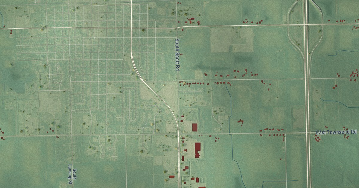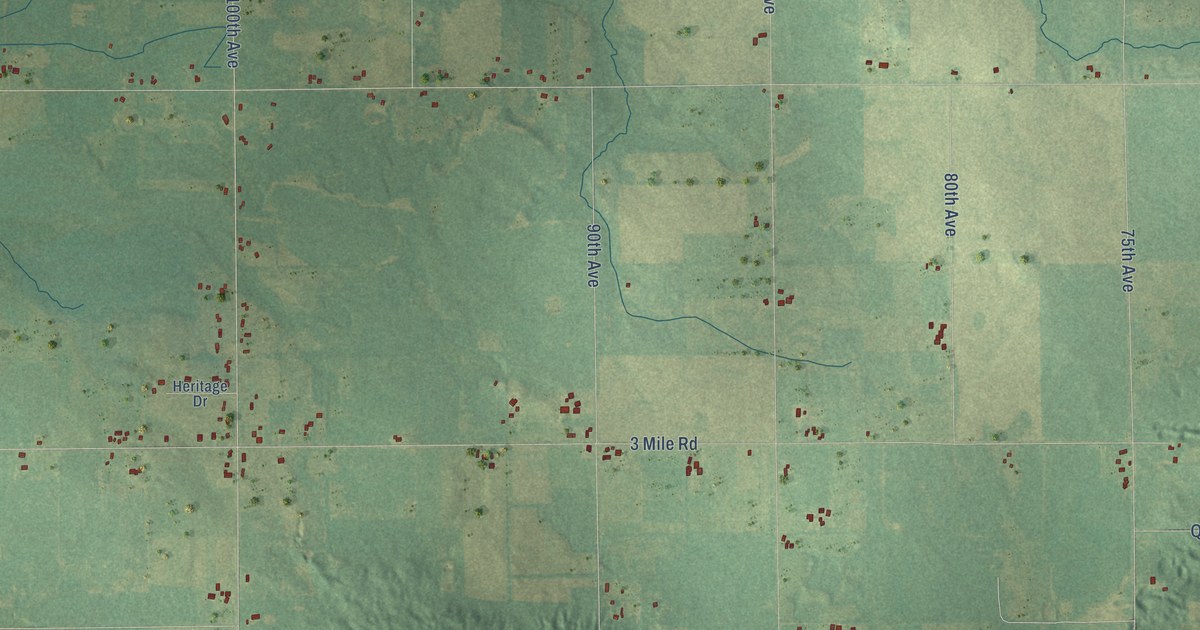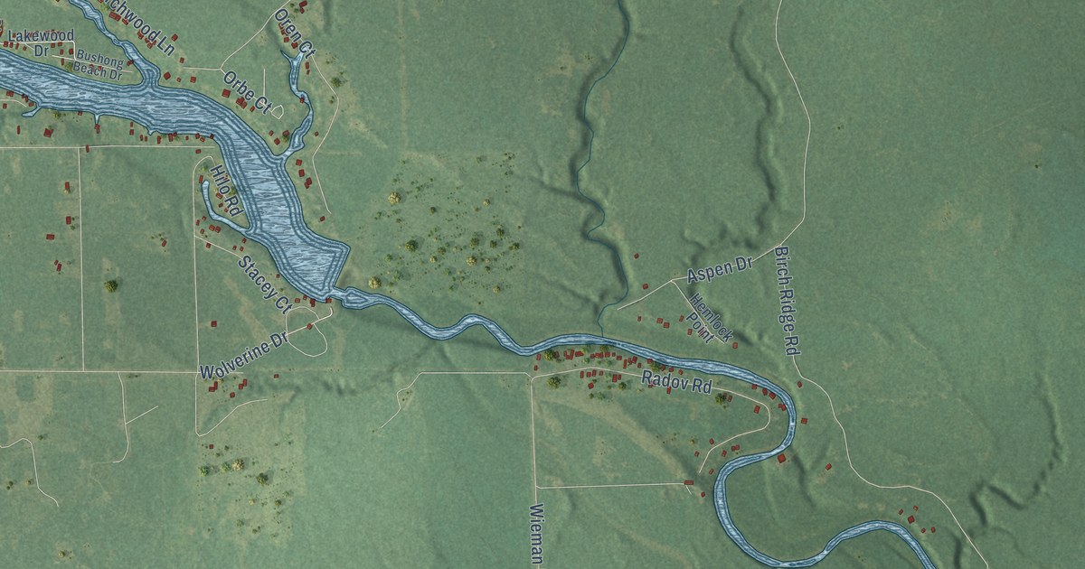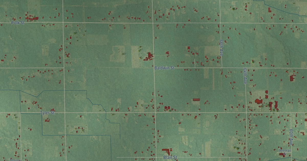
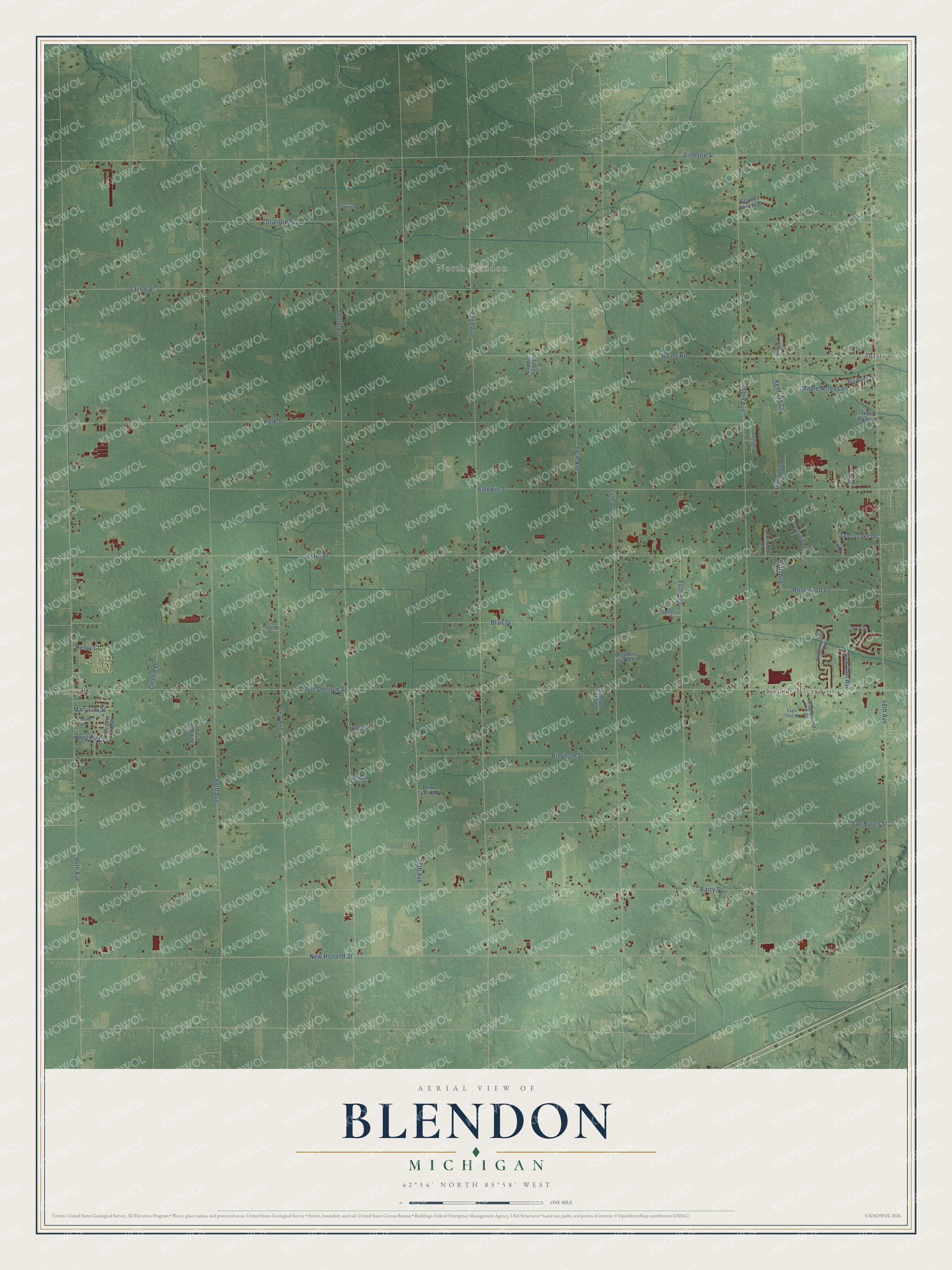
This beautifully detailed map of Blendon, Michigan was created in 2026 using aerial imagery combined with modern topographical, census, street and landmark data. It's a modern aerial view of Blendon in Ottawa County, Michigan, that combines modern data with a vintage aesthetic. The roads feature printed names, and if you look closely you can find your exact house accurately shown in its correct location.
Explore an aerial view of Blendon, Michigan
On this map you'll find Borculo, South Blendon, North Blendon, Bauer, Port Sheldon Street, New Holland Street, Tyler Street, Fillmore Street, 48th Avenue, 56th Avenue, 72nd Avenue, 88th Avenue, and more. Each red shape is a building, so zoom in on the preview and look for yours.
Here is a piece of Blendon history, in the words of the record. The Compendium of Ottawa County puts it this way: "Blendon was set off from Allendale, Jan. 4, 1854, and its first township meeting was held April 3, 1854, at which the following officers were chosen: supervisor, A. H. Vredenburg; clerk, J. R. Hall; treasurer, W. S. Woodruff."
The Census Bureau counted 7,081 people here in 2020.
Take a closer look at the Blendon map
Names on this map
These names are printed on this map.
Places: Borculo, South Blendon, North Blendon and Bauer.
Streets and roads: Port Sheldon Street, New Holland Street, Tyler Street, Fillmore Street, 48th Avenue, 56th Avenue, 72nd Avenue, 88th Avenue, 96th Avenue, 80th Avenue, Barry Street, Polk Street.
More street names, A to Z
54th Avenue, 60th Avenue, 64th Avenue, 66th Avenue, 76th Avenue, 84th Avenue, Acoustic Drive, Aljopark Court, Baldwin Street, Barnsley Drive, Bauer Road, Bear Track Road, Big Bass Drive, Bingham Street, Blair Street, Bradenwood Drive, Brindlewood Court, Charlie Drive, Crescent Drive, Deer Track Run, Deertrail Court, Doug Fir Drive, Eagle Cove Drive, Eaglewood Drive, Forestview Drive, Henry Court, Hide Away Lane, Hofman Court, Manitoba Court, Maple Acres Lane, Mary Lou Street, Meadow Cv West, Millpond, Prairie Avenue, Redfield Court, Rosewood Lane, Sheldon Woods, Stanton Street, Stanton Woods Drive, Summerwood Ci, Taylor Street, Twin Ponds Court, Tyler Oaks Drive, Tyler Pines Avenue, Van Buren Street, Van Dam Avenue, Vander Laan Lane, Willow Lane.
Created by KNOWOL in 2026. The buildings are small red shapes, the roads carry their printed names, and shaded relief shows the shape of the land. The title panel reads "AERIAL VIEW OF BLENDON, MICHIGAN" with 42°54' NORTH 85°58' WEST.
It suits a den, a classroom or a front hall, and it makes a gift for anyone with Blendon roots. Open the preview and find the block you know. See sizes and frames for the Blendon map.