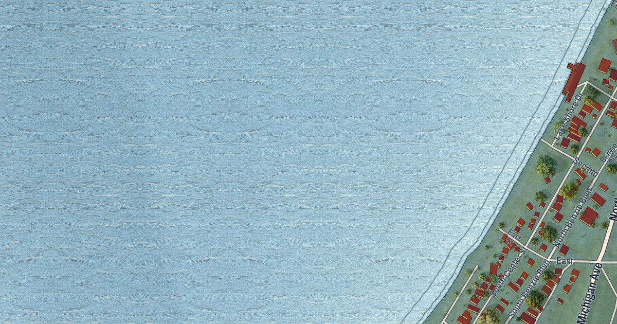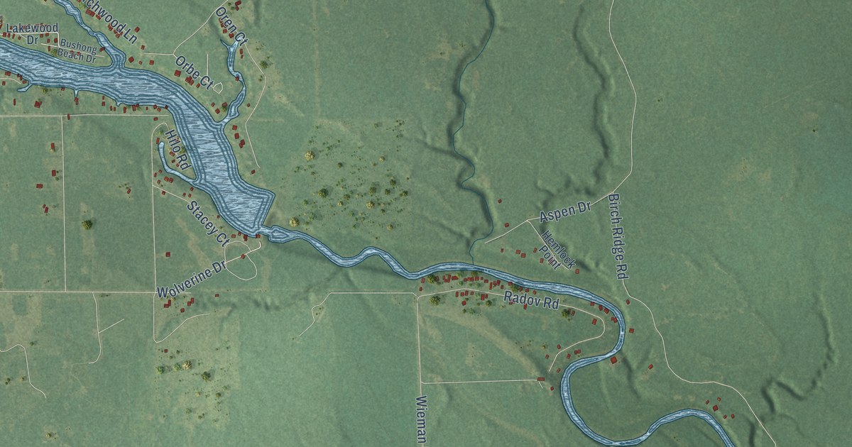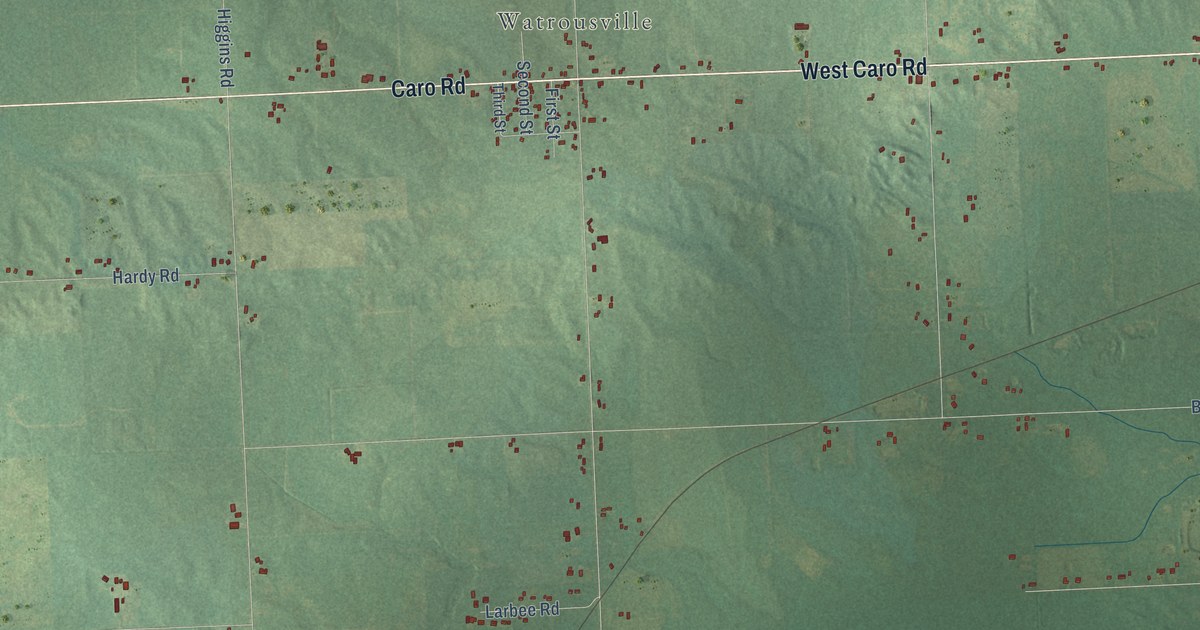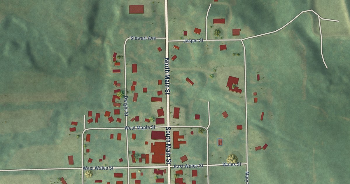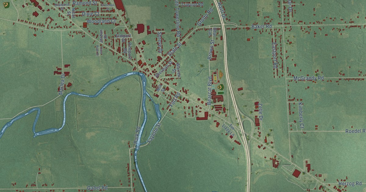
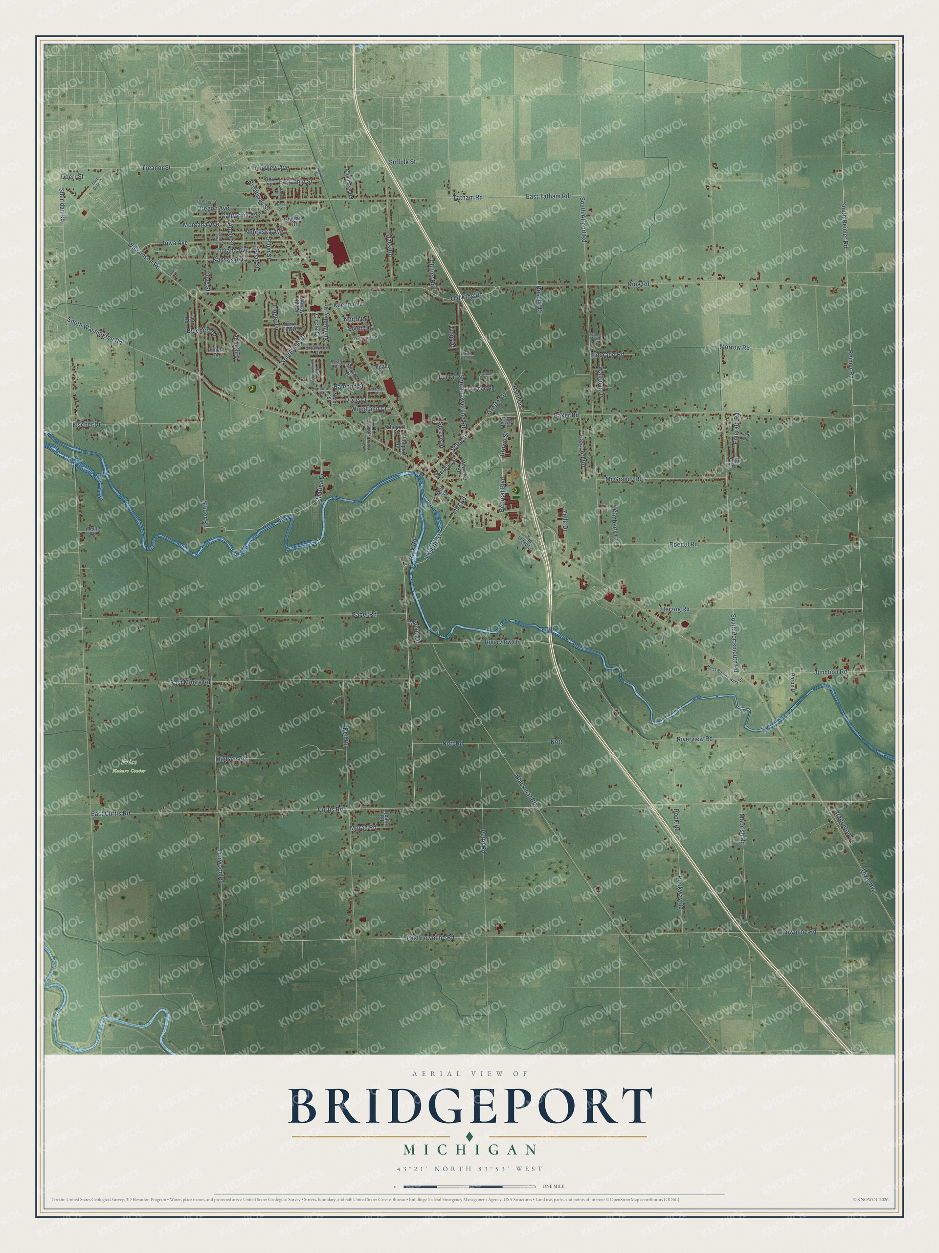
This beautifully detailed map of Bridgeport, Michigan was created in 2026 using aerial imagery combined with modern topographical, census, street and landmark data. It's a modern aerial view of Bridgeport in Saginaw County, Michigan, that combines modern data with a vintage aesthetic. The roads feature printed names, and if you look closely you can find your exact house accurately shown in its correct location.
Explore an aerial view of Bridgeport, Michigan
On this map you'll find Price Nature Center, Studor Road, East Ohio Street, Park Road, King Road, Reimer Road, Fort Road, Dixie Highway, Curtis Road, East Curtis Road, Sheridan Road, East Townline Road, and more. Each red shape is a building, so zoom in on the preview and look for yours.
Every town has a first chapter, and Bridgeport is no exception. The History of Saginaw County puts it this way: "Many were converted in Bridgeport, and a Methodist Episcopal class was organized from the new converts, including the greater portion of the old Wesleyan class."
The Census Bureau counted 10,104 people here in 2020.
Take a closer look at the Bridgeport map
Names on this map
These names are printed on this map.
Places: Price Nature Center.
Streets and roads: Studor Road, East Ohio Street, Park Road, King Road, Reimer Road, Fort Road, Dixie Highway, Curtis Road, East Curtis Road, Sheridan Road, East Townline Road, Townline Road.
More street names, A to Z
Angel Drive, Apple Street, Atwood Road, Baker Road, Baron Drive, Bear Cat, Bearcat Boulevard, Bell Road, Bernice Drive, Blackmar Road, Bluebird Drive, Bradenton Street, Brian Paul Place, Briarwood Drive, Broadway Street, Brown Street, California Avenue, Cass River Drive, Chalmers Road, Circle Drive, Clutier Road, Depaul Drive, Diamond Street, Dixie Court, Doerr Street, Dorwood Road, Eastlawn Street, East Moore Road, East Outer Drive, Eastport Road, East Tatham Road, Eldorado Road, Elmport Street, Emerald Road, Fayette Street, Finch Drive, Fischer Drive, Gabel Road, Gretchen Street, Grotto Road, Hartl Drive, Herzog Road, Hughes Street, Indiana Avenue, Industrial Drive, Iowa Avenue, Jade Road, Jim Drive, Jordan Drive, Junction Road, Kansas Avenue, Kimberly Court, Kuehn Avenue, Larry Tim Drive, Linger Lane, Longview Avenue, Mack Road, Madsen Road, Marlea Drive, McGrandy Road, Mill Street, Miriam Drive, Montana Avenue, Moorish Road, Moran Road, Morrow Road, Murray Hill Drive, Nebraska Avenue, Nicol Street, North Drive, Nott, Nott Road, Ohio Street, Old King Road, Olive Street, Onyx Road, Orange Street, Oregon Avenue, Pear Street, Pettit Road, Pineport Road, Plum Street, Quain Road, Ramond Street, Riverview Drive, Riverview Road, Roedel Road, Rook Road, Rookway Road, Roselle Drive, Sherman Street, Shreve Drive, Snowy Lane, South Airport Road, South Drive, Southfield Drive, South Portsmouth Road, South Reimer Road, South Towerline Road, South Washington Road, Squire Drive, Stanton Drive, State Street, Suffolk Street, Sun Valley Drive, Tacora Trail, Tatham Road, Tin Lizzy Lane, Toth Road, Treanor Street, Triwood Road, Tulip Drive, Vessy Drive, Waltmar Drive, Warren Street, West Diamondale Drive, West Rolling Hills Drive, Wigen Street, Williamson Road, Woodland Court, Young Road, Zelle Drive.
Created by KNOWOL in 2026. The buildings are small red shapes, the roads carry their printed names, and shaded relief shows the shape of the land. The title panel reads "AERIAL VIEW OF BRIDGEPORT, MICHIGAN" with 43°21' NORTH 83°53' WEST.
Hang it in the hallway, the office or the cabin, or give it to someone who left Bridgeport and still calls it home. Open the preview and look for a street you know. See sizes and frames for the Bridgeport map.