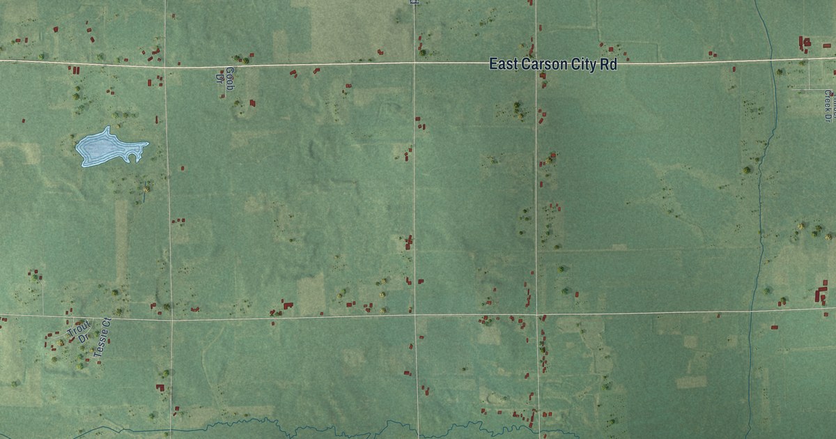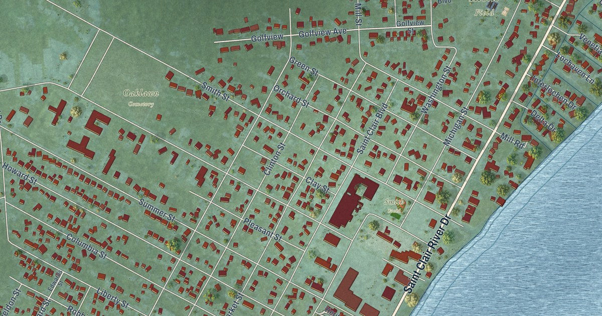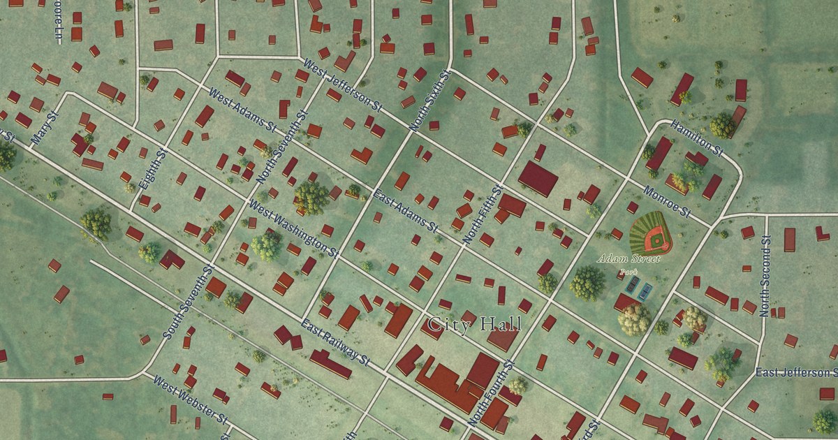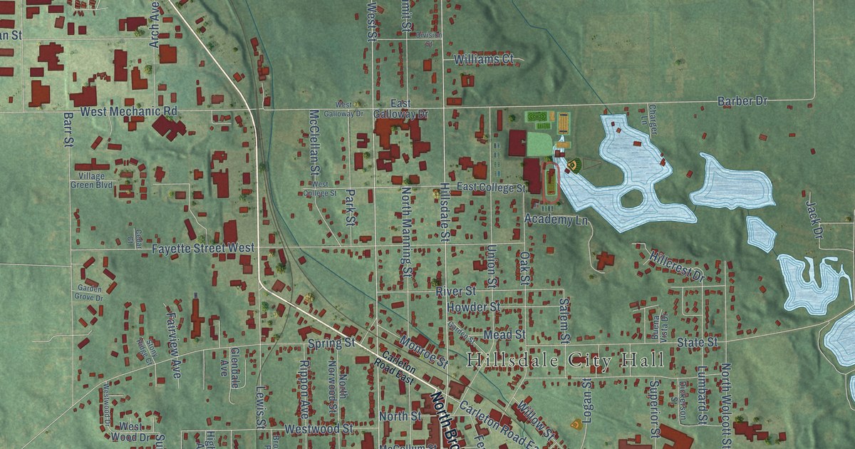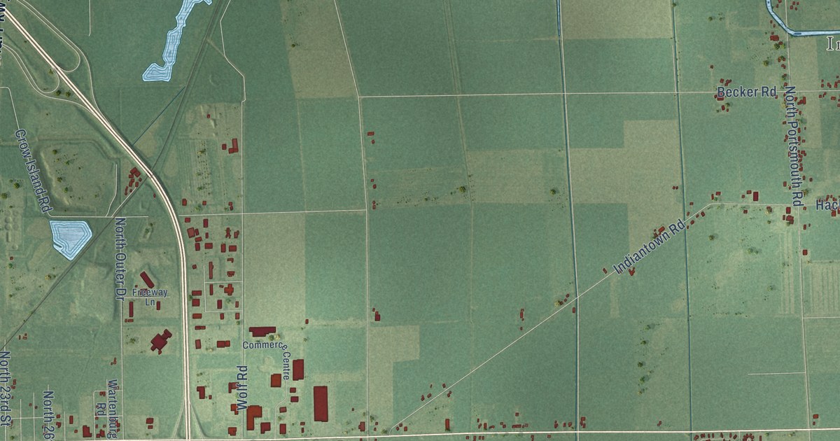
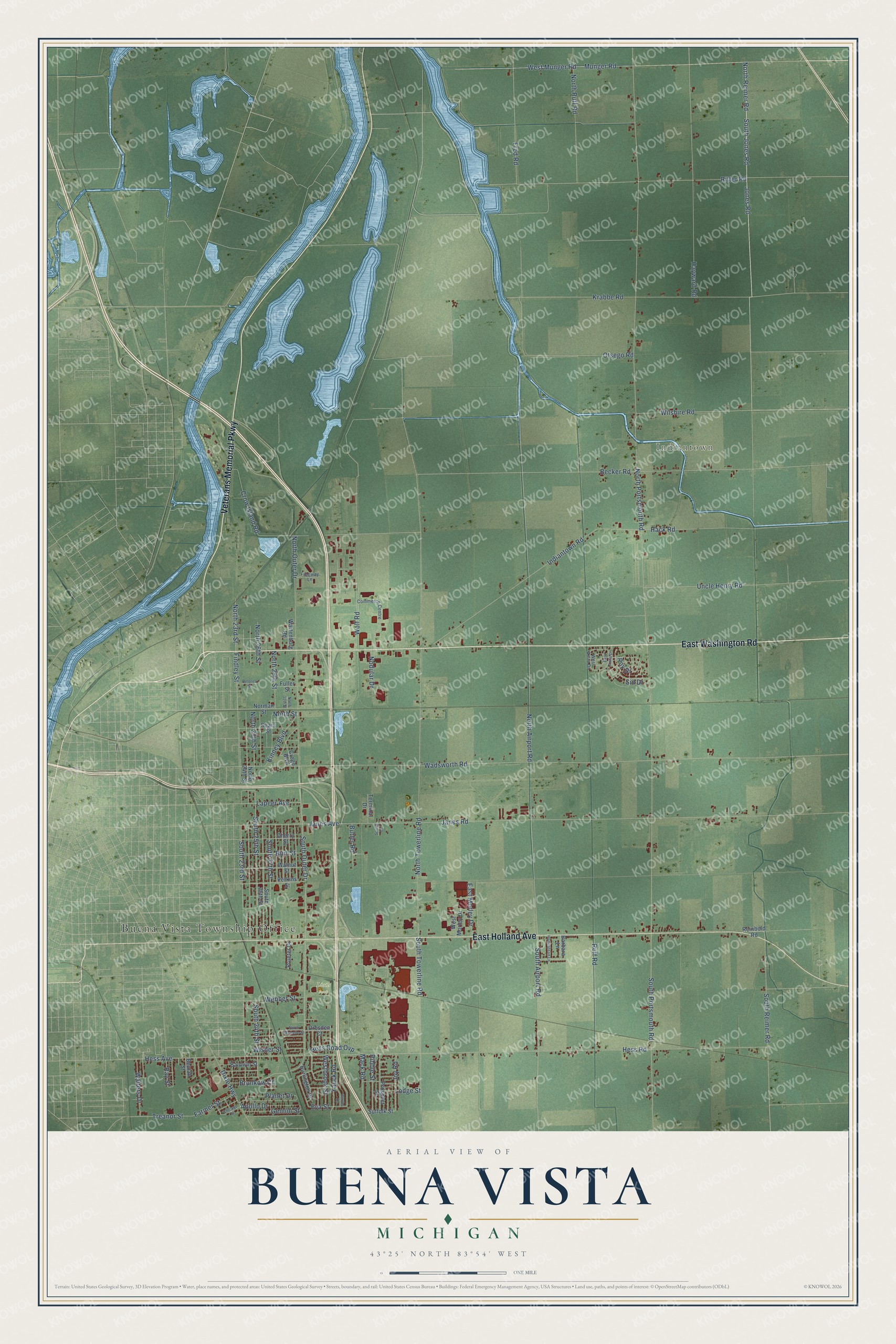
This beautifully detailed map of Buena Vista, Michigan was created in 2026 using aerial imagery combined with modern topographical, census, street and landmark data. It's a modern aerial view of Buena Vista in Saginaw County, Michigan, that combines modern data with a vintage aesthetic. The roads feature printed names, and if you look closely you can find your exact house accurately shown in its correct location.
Explore an aerial view of Buena Vista, Michigan
On this map you'll find Buena Vista Township Office, Indiantown, Lions Park, East Washington Road, Veterans Memorial Parkway, East Holland Avenue, Jones Road, North Reimer Road, South Jones Road, South Outer Drive, Fred Road, Lapeer Avenue, and more. Each red shape is a building, so zoom in on the preview and look for yours.
Every town has a first chapter, and Buena Vista is no exception. The History of Saginaw County puts it this way: "C.W. Grant was the first town clerk of Buena Vista, and Curtis Emerson the first supervisor."
The Census Bureau counted 7,664 people here in 2020.
Take a closer look at the Buena Vista map
Names on this map
These names are printed on this map.
Places: Buena Vista Township Office, Indiantown and Lions Park.
Streets and roads: East Washington Road, Veterans Memorial Parkway, East Holland Avenue, Jones Road, North Reimer Road, South Jones Road, South Outer Drive, Fred Road, Lapeer Avenue, Treanor Street, North Street, North Portsmouth Road.
More street names, A to Z
Apollo Drive, Baldwin Street, Barbara Lane, Becker Road, Bertha Drive, Beulah Street, Brunkow Court, Burlington Drive, Burt Street, Butler Road, Cherry Street, Chicago Street, Commerce Centre, Crego Boulevard, Crow Island Road, Delores Street, Dixie Highway, Dresden Court, East Anita Drive, East Morley Drive, Eva Street, Farmer Street, Findley Street, Freeway Lane, Fuller Street, Gemini Street, Hack Road, Hayward Road, Hess Avenue, Hess Road, Hess Road Ovp, Homestead Lane, Indiantown Road, Janes Avenue, Janes Road, Joy Road, Kinney Boulevard, Krabbe Road, Lodge Street, Mack Road, Munger Road, Nodular Drive, Norman Street, North 23rd Street, North 24th Street, North 25th Street, North 26th Street, North 29th Street, North 31st Street, North Airport Road, North Michelle Street, North Outer Drive, North Ruff Road, North Towerline Road, Otsego Road, Perkins Street, Planet Drive, Prospect Street, Prueter Drive, Ray Street, Reinbold Road, Ribble Street, Ritter Road, Roy Drive, Ruff Road, Sears Street, Sid Drive, South 23rd Street, South 24th Street, South 25th Street, South 26th Street, South 27th Street, South Airport Road, South Portsmouth Road, South Reimer Road, South Towerline Road, Spring Lane, Suffolk Street, Terminal Drive, Uncle Henry Road, Wadsworth Road, Walnut Street, Walters Drive, Wartenburg Road, Webber Street, West Anita Drive, Westbrook Street, West Morley Drive, West Munger Road, Wilshire Road, Wisner Street, Wolf Road, Yauck Road.
Created by KNOWOL in 2026. The buildings are small red shapes, the roads carry their printed names, and shaded relief shows the shape of the land. The title panel reads "AERIAL VIEW OF BUENA VISTA, MICHIGAN" with 43°25' NORTH 83°54' WEST.
Hang it in the hallway, the office or the cabin, or give it to someone who left Buena Vista and still calls it home. Open the preview and look for a street you know. See sizes and frames for the Buena Vista map.