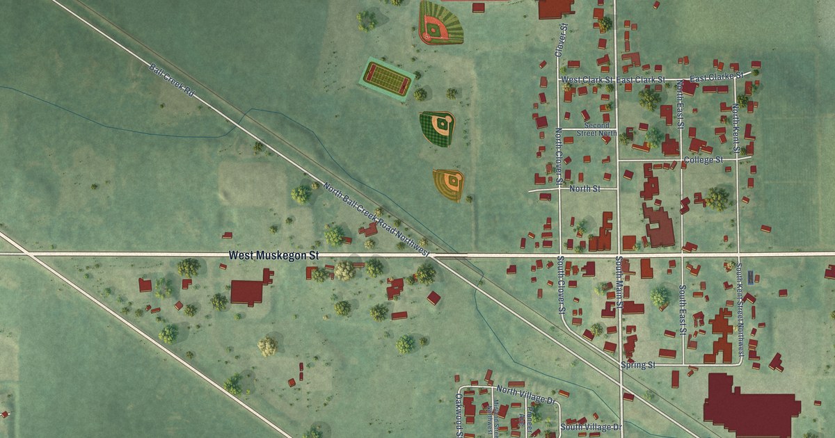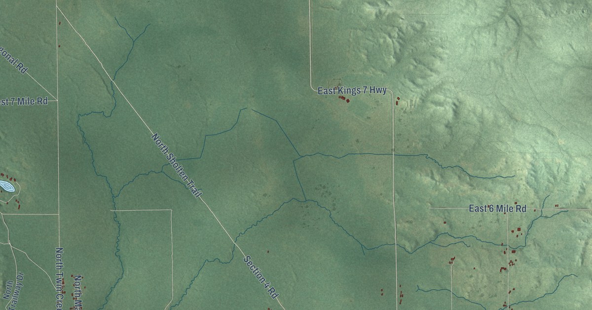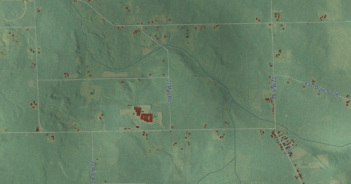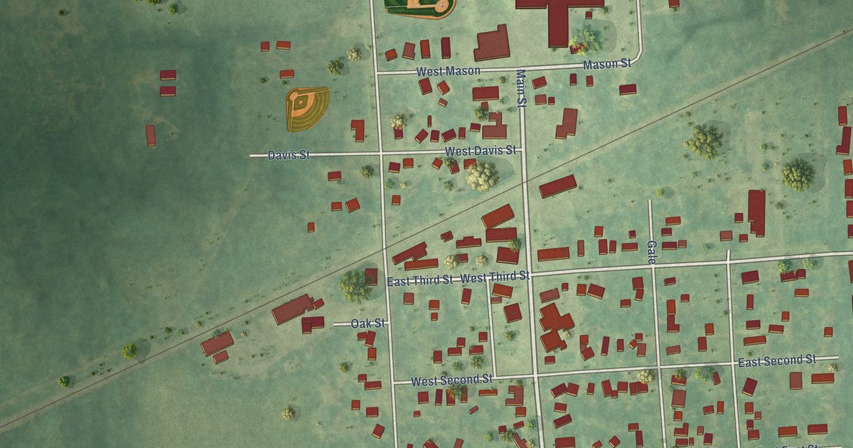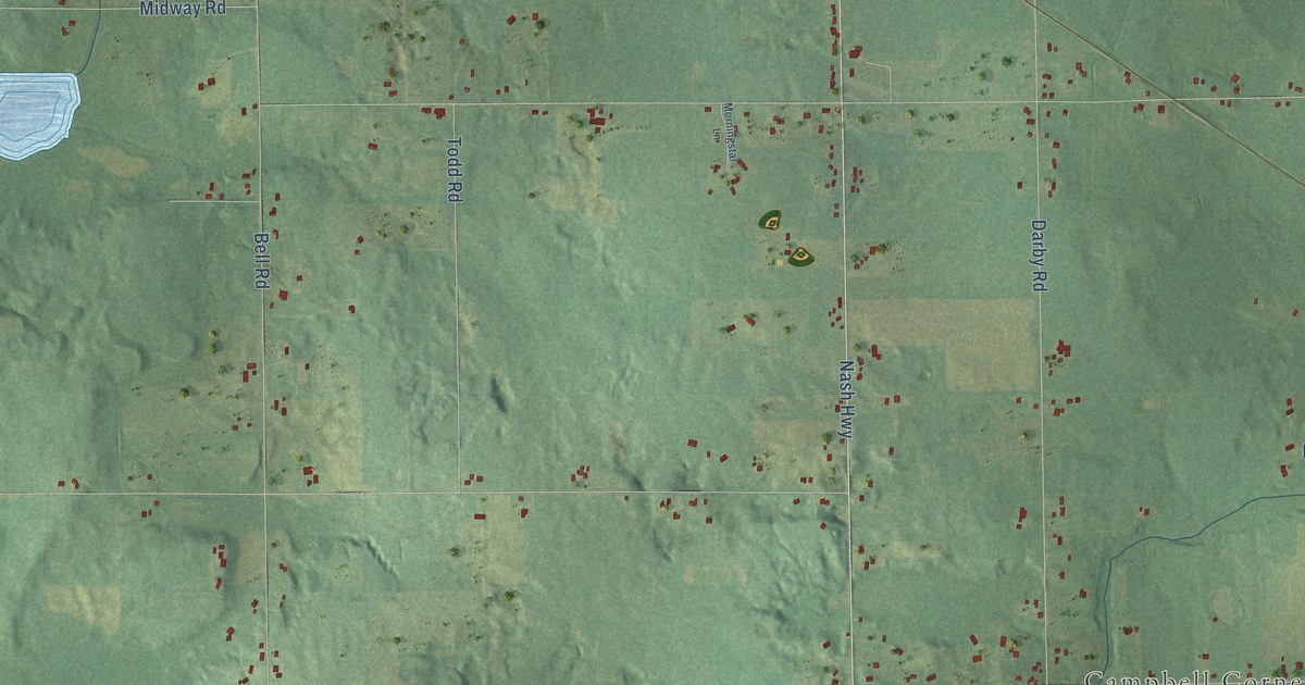
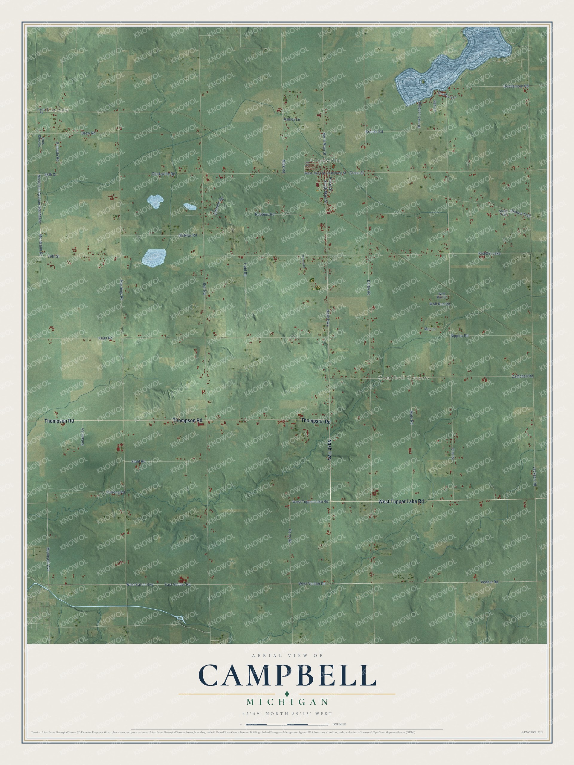
This beautifully detailed map of Campbell, Michigan was created in 2026 using aerial imagery combined with modern topographical, census, street and landmark data. It's a modern aerial view of Campbell in Ionia County, Michigan, that combines modern data with a vintage aesthetic. The roads feature printed names, and if you look closely you can find your exact house accurately shown in its correct location.
Explore an aerial view of Campbell, Michigan
On this map you'll find Elmdale, Clarksville, Campbell Corners, Nash Highway, Thompson Road, West Tupper Lake Road, West Vedder Road, Vedder Road, South Main Street, Montcalm Avenue, East Vedder Road, West Eaton Highway, and more. Each red shape is a building, so zoom in on the preview and look for yours.
Every town has a first chapter, and Campbell is no exception. The History of Ionia and Montcalm Counties puts it this way: "The first school in Campbell was taught by Sarah Piatt, in a log building erected by the Nash brothers and occupying a site on Marvil Church's land in section 10."
The Census Bureau counted 2,399 people here in 2020.
Take a closer look at the Campbell map
Names on this map
These names are printed on this map.
Places: Elmdale, Clarksville, Campbell Corners and Peddler Lake.
Streets and roads: Nash Highway, Thompson Road, West Tupper Lake Road, West Vedder Road, Vedder Road, South Main Street, Montcalm Avenue, East Vedder Road, West Eaton Highway, Clarksville Road, North Main Street, Furlong Road.
More street names, A to Z
68th Street, 76th Street, Ash Lane, Ashley Lane, Bell Road, Bippley Road, Broad Street, Brooks Landing, Brooks Road, Campbell Road, Choo Choo Lane, Clinton Trail, Cross Street, Darby Road, Drew Road, East Cross Street, Elmdale Road, Elm Road, Goodemoot Road, Hastings Road, Jackson Road, Keim Road, Kelanni Drive, Lind Avenue, Mar Lane, Mick Road, Midway Road, Montcalm Avenue Southeast, Montcalm Road, Morningstar Lane, Mote Road, Perry Road, Pierre Road, Ribbons Road, Robbins Road, South Trail, Stahl Road, Strawberry Lane, Todd Road, West Cross Street, Wolf Run Drive, Wolf Run Road.
Created by KNOWOL in 2026. The buildings are small red shapes, the roads carry their printed names, and shaded relief shows the shape of the land. The title panel reads "AERIAL VIEW OF CAMPBELL, MICHIGAN" with 42°49' NORTH 85°15' WEST.
Hang it in the hallway, the office or the cabin, or give it to someone who left Campbell and still calls it home. Open the preview and look for a street you know. See sizes and frames for the Campbell map.