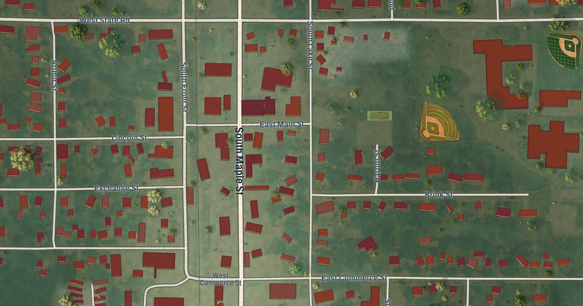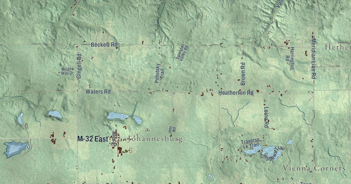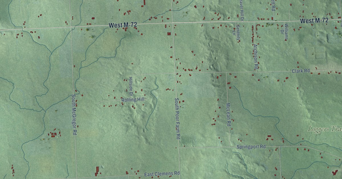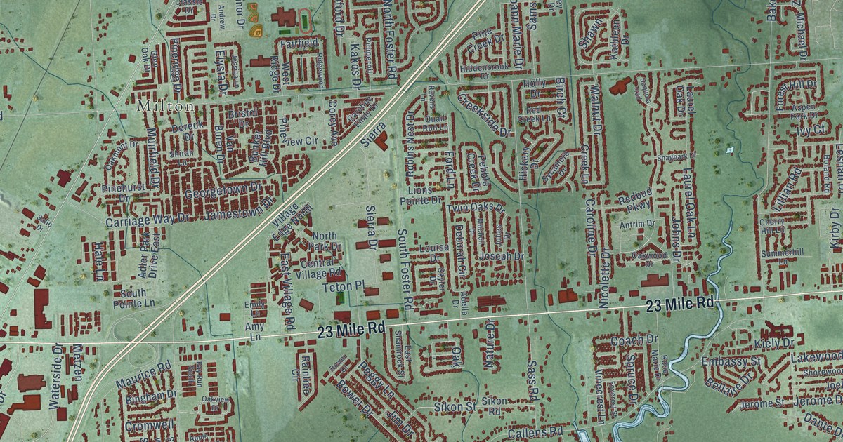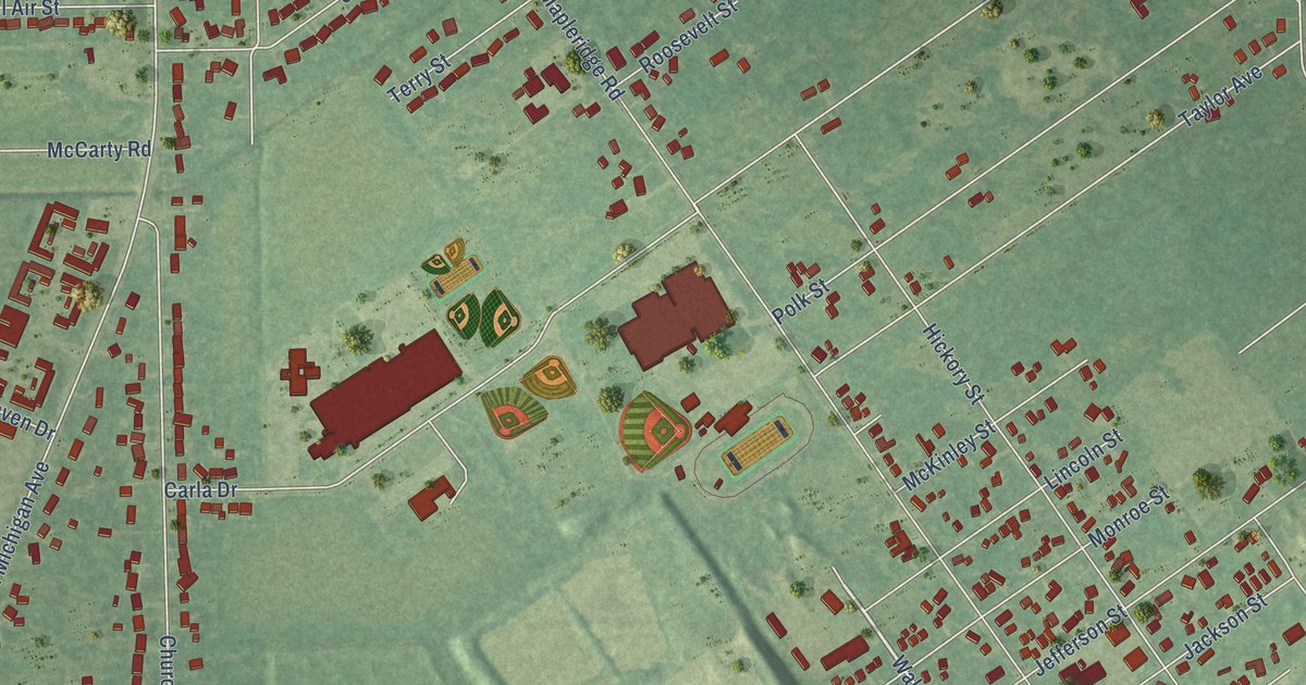
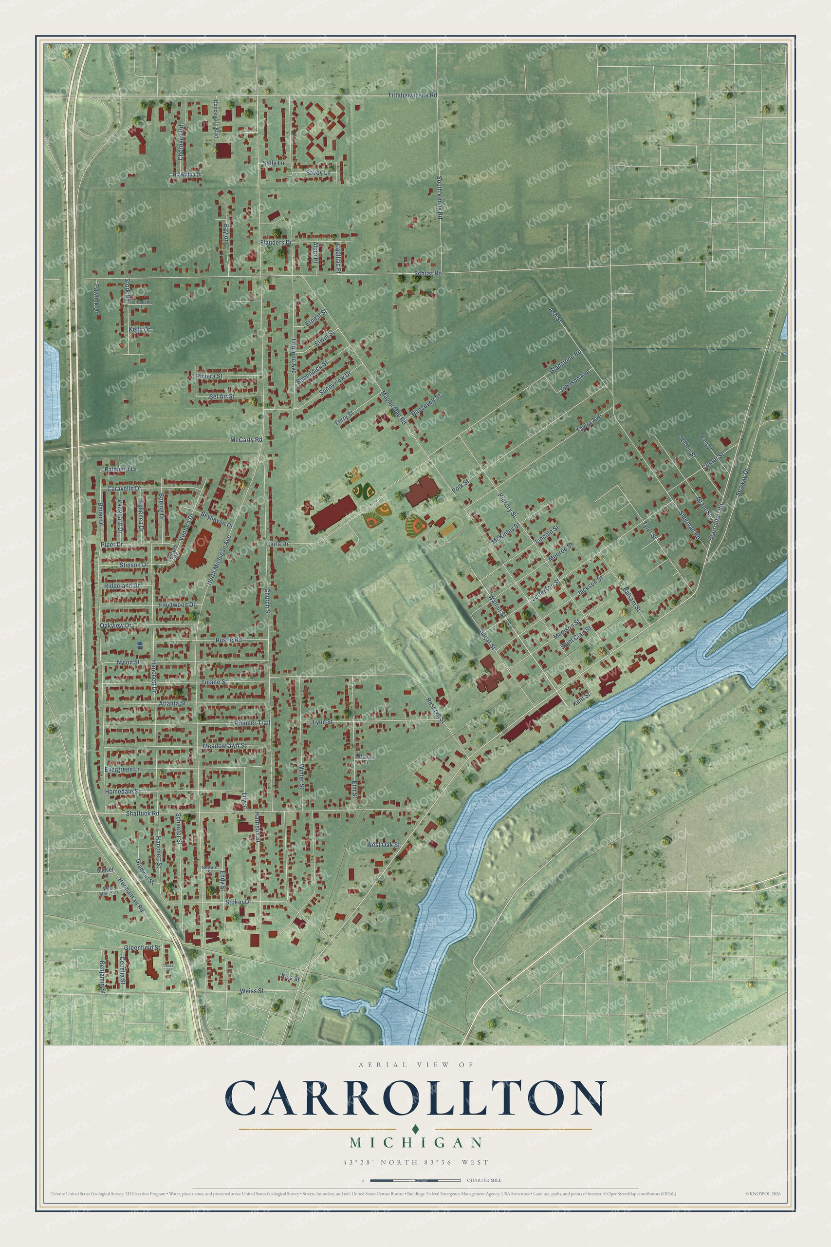
This beautifully detailed map of Carrollton, Michigan was created in 2026 using aerial imagery combined with modern topographical, census, street and landmark data. It's a modern aerial view of Carrollton in Saginaw County, Michigan, that combines modern data with a vintage aesthetic. The roads feature printed names, and if you look closely you can find your exact house accurately shown in its correct location.
Explore an aerial view of Carrollton, Michigan
On this map you'll find Walnut Street, North Michigan Avenue, Carrollton Road, Mapleridge Road, Tittabawassee Road, Schust Road, Hanchett Street, Church Street, Bauer Drive, Lorraine Avenue, Shattuck Road, Tulane Street, and more. Each red shape is a building, so zoom in on the preview and look for yours.
Every town has a first chapter, and Carrollton is no exception. The History of Saginaw County puts it this way: "Later he became interested in hardwoods, and organized the S. L. Eastman Flooring Company, which erected a large flooring mill, dry kilns and stock sheds at Carrollton, a north suburb of this city."
The Census Bureau counted 5,750 people here in 2020.
Take a closer look at the Carrollton map
Names on this map
These names are printed on this map.
Streets and roads: Walnut Street, North Michigan Avenue, Carrollton Road, Mapleridge Road, Tittabawassee Road, Schust Road, Hanchett Street, Church Street, Bauer Drive, Lorraine Avenue, Shattuck Road, Tulane Street.
More street names, A to Z
Alcona Street, Alura Place, Ash Street, Atlanta Street, Balsam Street, Baylor Court, Bel Air Street, Bellenca Drive, Benjamin Street, Bobendick Street, Boeing Drive, Cadillac Place, Caravelle Drive, Carla Drive, Cecelia Street, Center Street, Cherokee Road, Concentric Boulevard, Crescent Drive, Cross Street, Eddy Street, Elm Street, Ernest Street, Erwin Street, Evergreen Lane, First Street, Flanders Drive, Fleetwood Drive, Gladstone Road, Gladwin Street, Grant Street, Greenfield Street, Hanchett Drive, Harrison Street, Hermansau Road, Hiawatha Drive, Hickory Street, Homedale Street, Howard Street, Jackson Street, Jefferson Street, Johnson Avenue, Kelly Drive, Kent Street, Kiss Street, Lily Street, Lincoln Street, Lynn Street, Madison Street, McCarty Road, McKinley Street, Meadowlawn Street, Monroe Street, Nylon Street, Oakview Drive, Palmetto Drive, Pawlick Drive, Pioneer Trail, Piper Drive, Polk Street, Reserve Street, Ridgeland Drive, Riviera Street, Roosevelt Street, Rustic Road, Saint Clair Street, Sally Lane, Savoy Lane, Schaefer Street, Seaway Drive, Selden Street, Sherman Road, Skyhaven Drive, South Venoy Road, Stinson Drive, Stoker Drive, Stork Road, Sugar Street, Sunnyview Drive, Sunset Lane, Taylor Avenue, Terry Street, Tyler Street, Vanguard Drive, Ventura Court, Ventura Drive, Weiss Street, West Oak Street, West Stoker Drive, Winter Street.
Created by KNOWOL in 2026. The buildings are small red shapes, the roads carry their printed names, and shaded relief shows the shape of the land. The title panel reads "AERIAL VIEW OF CARROLLTON, MICHIGAN" with 43°28' NORTH 83°56' WEST.
Hang it in the hallway, the office or the cabin, or give it to someone who left Carrollton and still calls it home. Open the preview and look for a street you know. See sizes and frames for the Carrollton map.