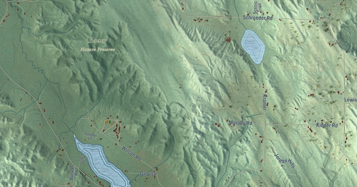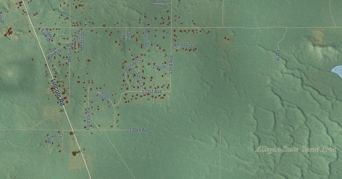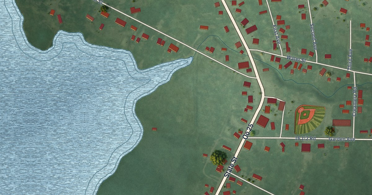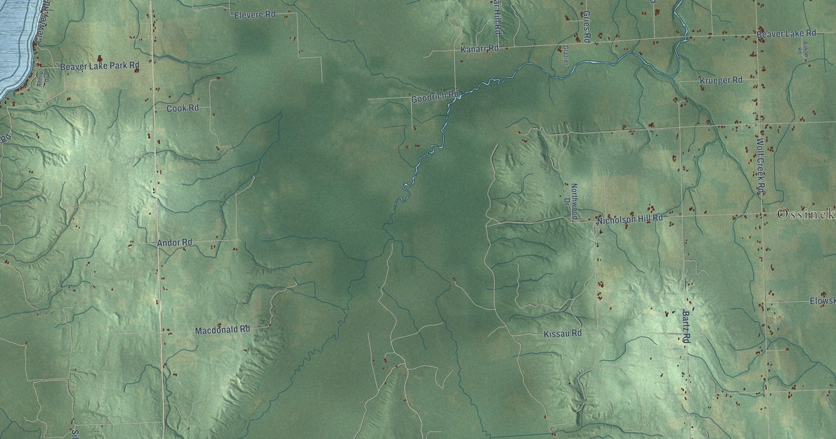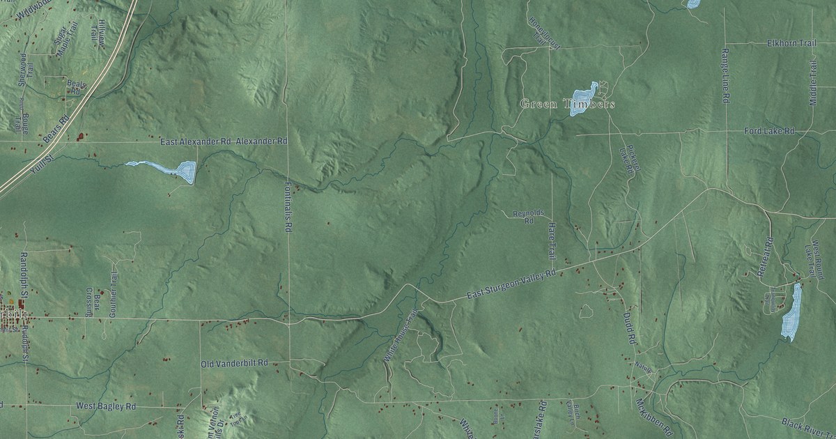
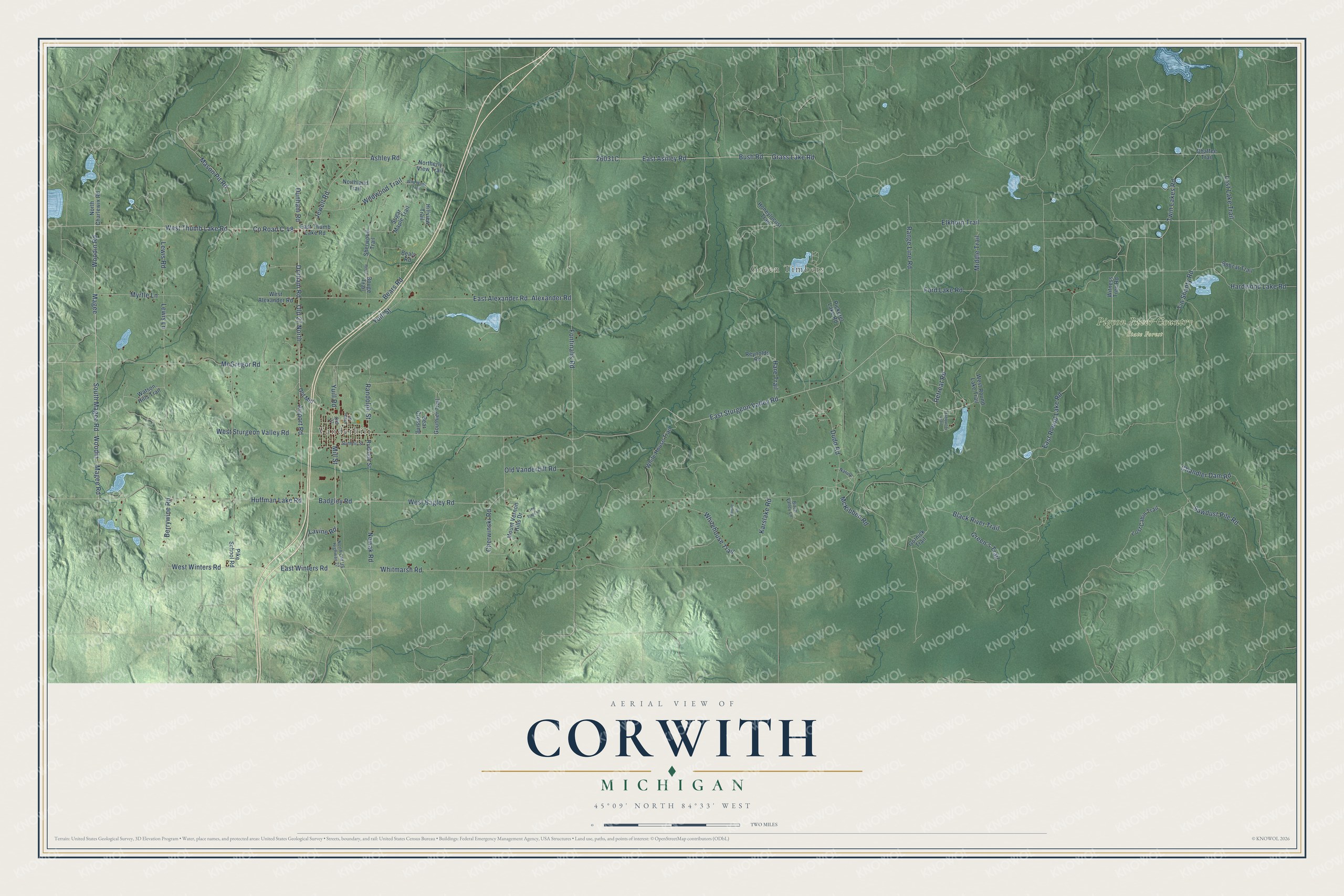
This beautifully detailed map of Corwith, Michigan was created in 2026 using aerial imagery combined with modern topographical, census, street and landmark data. It's a modern aerial view of Corwith in Otsego County, Michigan, that combines modern data with a vintage aesthetic. The roads feature printed names, and if you look closely you can find your exact house accurately shown in its correct location.
Explore an aerial view of Corwith, Michigan
On this map you'll find Vanderbilt, Green Timbers, Pigeon River Country State Forest, East Sturgeon Valley Road, Dunham Road, West Thumb Lake Road, Ashley Road, Twin Lakes Road, Old 27 North, South Magee Road, East Ashley Road, Magee Road, and more. Each red shape is a building, so zoom in on the preview and look for yours.
The Census Bureau counted 1,708 people here in 2020. The map prints the town name in its title panel, with the coordinates below it.
Take a closer look at the Corwith map
Names on this map
These names are printed on this map.
Places: Vanderbilt, Green Timbers and Pigeon River Country State Forest.
Streets and roads: East Sturgeon Valley Road, Dunham Road, West Thumb Lake Road, Ashley Road, Twin Lakes Road, Old 27 North, South Magee Road, East Ashley Road, Magee Road, County Road C-48, Durham Road, Bush Road.
More street names, A to Z
Airport Road, Alexander Road, Badgley Road, Beals Road, Bear Crossing, Bears Road, Berrywine Road, Birch Valley Lane, Black River Trail, Bobcat Trail, Boone Lane, Bouge Trail, Cedar Street, Chaffee Trail, Chandler Dam Road, Cherwinski Road, Dudd Road, East Alexander Road, East Round Lake Road, East Thumb Lake Road, East Winters Road, Elkhorn Trail, Fontinalis Road, Ford Lake Road, Gornick Trail, Gouthier Trail, Grass Lake Road, Green's Trail, Hardwood Lake Road, Hare Trail, Hillview Trail, Honeylocust Trail, Huffman Lake Road, Jewell Road, Karslake Road, Lavine Road, Lewis Lane, Lewis Road, Lost Cabin Trail, Lost Lake Trail, Magee, Mason Pit Road, McGregor Road, McKibben Road, Middle Trail, Mill Street, Mount Vernon Hills Drive, Myrtle Lane, Nature, North Charlewix Road, Northerly View Trail, Northland Trail, North Old US Highway 27, Nowak Road, Old 27, Old Mill, Old Vanderbilt Road, Pickerel Lake Road, Pike School Road, Randolph Street, Range Line Road, Reed, Retreat Road, Reynolds Road, Rudolph Street, Sawdust Pile Road, Sherwood Trail, Sugar Maple Trail, Summit Street, Tin Shanty Road, Tranquility Trail, Tree Tops Lane, Watson Hills Trail, West Alexander Road, West Bagley Road, West Round Lake Trail, West Sturgeon Valley Road, West Winters Road, Whitehouse Trail, White House Trail, Whitmarsh Road, Wildwood Trail, Wild Wood Trail, Witness Tree Road, Woodin, Woodin Road, Yuill Road, Yuill Street.
Created by KNOWOL in 2026. The buildings are small red shapes, the roads carry their printed names, and shaded relief shows the shape of the land. The title panel reads "AERIAL VIEW OF CORWITH, MICHIGAN" with 45°09' NORTH 84°33' WEST.
Hang it in the hallway, the office or the cabin, or give it to someone who left Corwith and still calls it home. Open the preview and look for a street you know. See sizes and frames for the Corwith map.