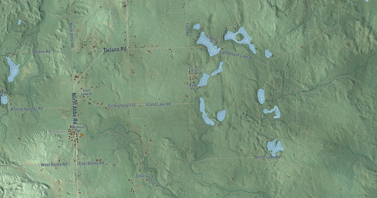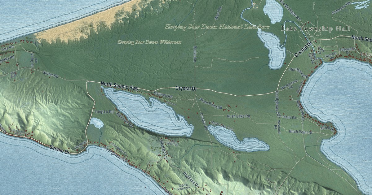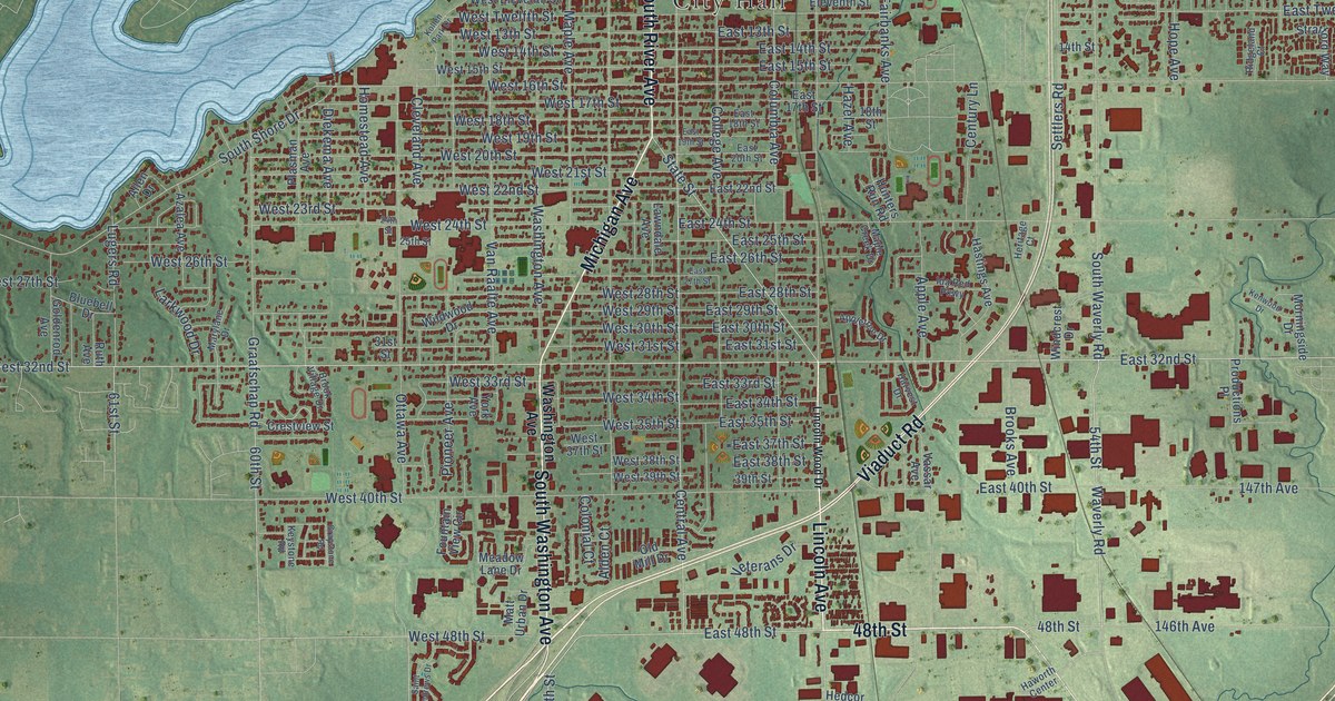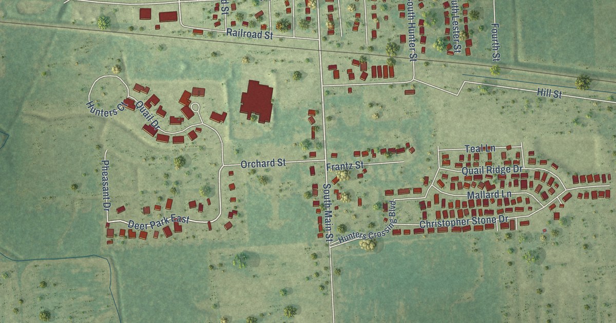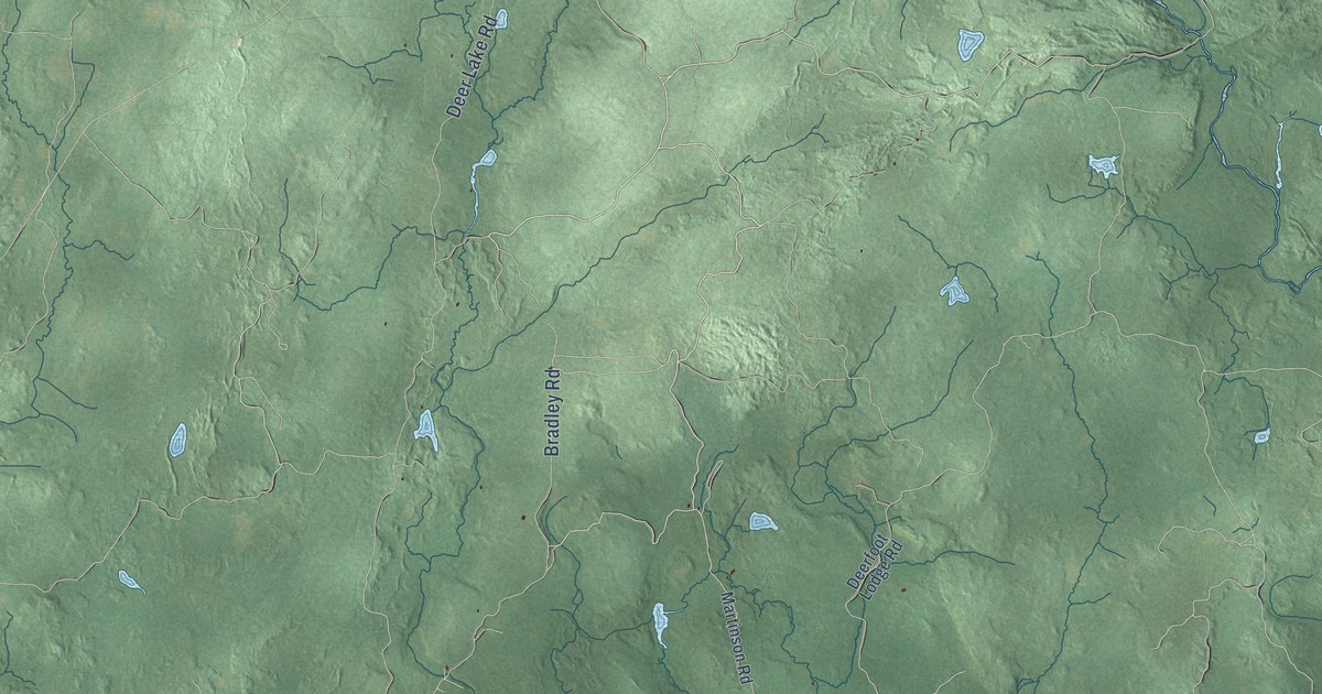
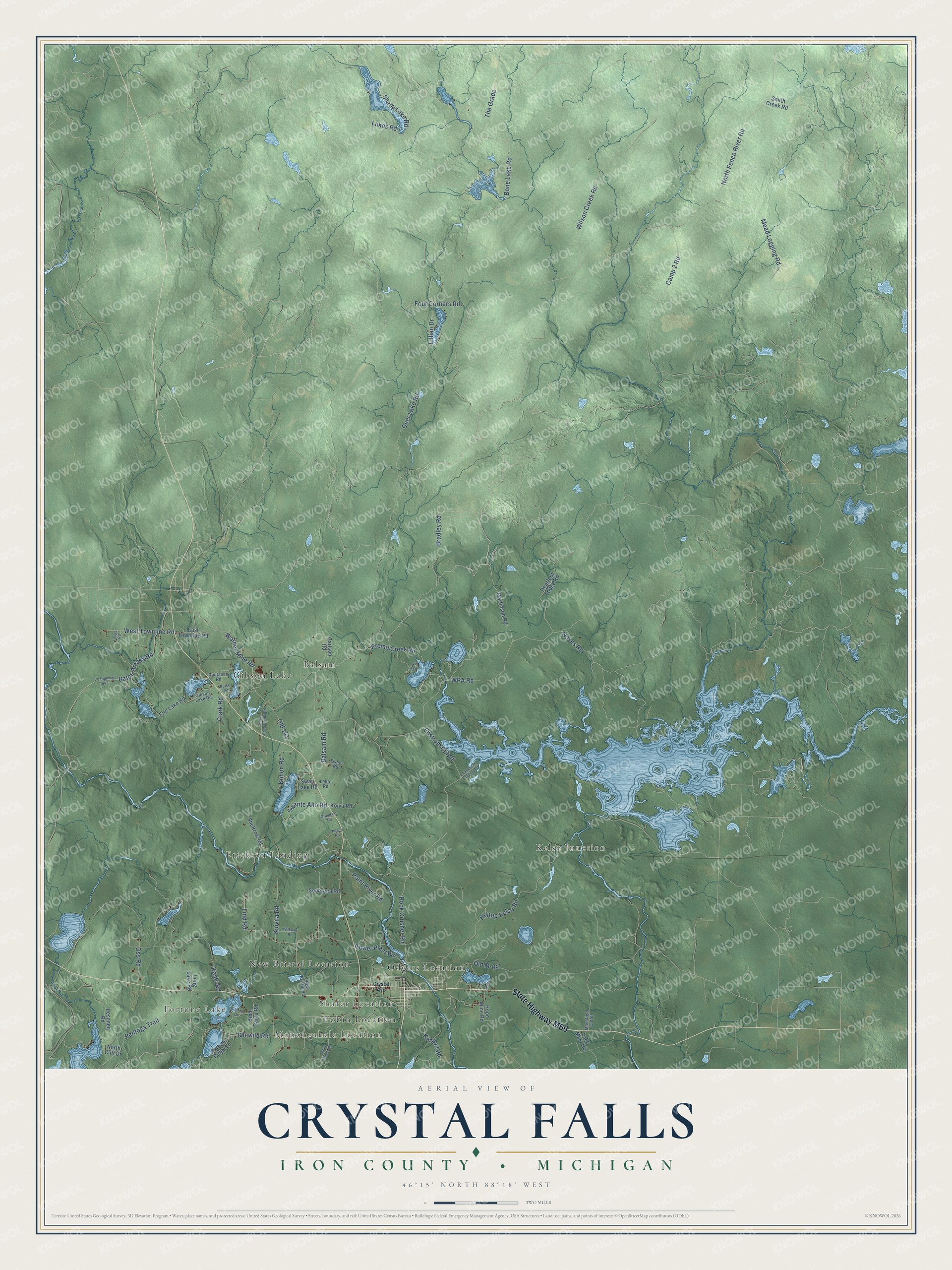
This beautifully detailed map of Crystal Falls, Michigan was created in 2026 using aerial imagery combined with modern topographical, census, street and landmark data. It's a modern aerial view of Crystal Falls in Iron County, Michigan, that combines modern data with a vintage aesthetic. The roads feature printed names, and if you look closely you can find your exact house accurately shown in its correct location.
Explore an aerial view of Crystal Falls, Michigan
On this map you'll find Fortune Lake, Monongahela Location, Shafer Location, Balsam, Erickson Landing, Gibson Lake, Kelso Junction, New Bristol Location, Odgers Location, Tobin Location, State Highway M69, Kimball Road, and more. Each red shape is a building, so zoom in on the preview and look for yours.
Crystal Falls has a story worth telling. The History of the Diocese of Sault Ste. Marie puts it this way: "Upon a petition two new townships, that of Iron River and of Crystal Falls were formed."
The Census Bureau counted 1,647 people here in 2020.
Take a closer look at the Crystal Falls map
Names on this map
These names are printed on this map.
Places: Fortune Lake, Monongahela Location, Shafer Location, Balsam, Erickson Landing, Gibson Lake, Kelso Junction, New Bristol Location, Odgers Location and Tobin Location.
Streets and roads: State Highway M69, Kimball Road, Warner Mine Road, Power Plant Road, North Fence River Road, Deer Lake Road, The Grade, WPA Road, Wilson Creek Road, Rock Crusher Road, Mead Logging Road, Bone Lake Road.
More street names, A to Z
Balsam Road, Bates Amasa Road, Bible Camp Road, Bradley Road, Burke Road, Camp 2 Road, Carlson Road, Cattail Drive, Challancin Landing Road, Clark Road, County Highway 643, Crystal Avenue, Deerfoot Lodge Road, East Townline Road, Enstrom Cutoff, Fire Lake Road, Fisher Road, Fortune Ridge Lane, Four Corners Road, Gibson Lake Road, Grandahl Road, Hilltop Kelso Road, Hope Mine Road, Idlewild Road, Kaski Road, Kohon Road, Koivu Road, Kuivila Road, Lake Mary Road, Lange Road, Lehto Road, Lillian Drive, Lily Pad Lane, Lind Road, Long Lake Road, Lukes Road, Mansfield Cutoff, Martinson Road, Nelson Road, New Bristol Road, North Casagranda Road, North Cliff Drive, Noyes Road, Old 141, Old M-69, Oss Road, Paint River Road, Pentoga Trail, Pesonen Road, Premo Creek Road, Rautanen Road, Shank Lake Road, Sheltrow Road, Smith Creek Road, Soderena Road, Swan Lake Road, Swante Aho Road, Tobin Alpha Road, West Townline Road, Williams Road.
Created by KNOWOL in 2026. The buildings are small red shapes, the roads carry their printed names, and shaded relief shows the shape of the land. The title panel reads "AERIAL VIEW OF CRYSTAL FALLS, IRON COUNTY • MICHIGAN" with 46°15' NORTH 88°18' WEST.
It looks right in a kitchen, an office or a den, and it's a gift for anyone who grew up in Crystal Falls or moved away. Open the preview and find your street. See sizes and frames for the Crystal Falls, Iron County map.