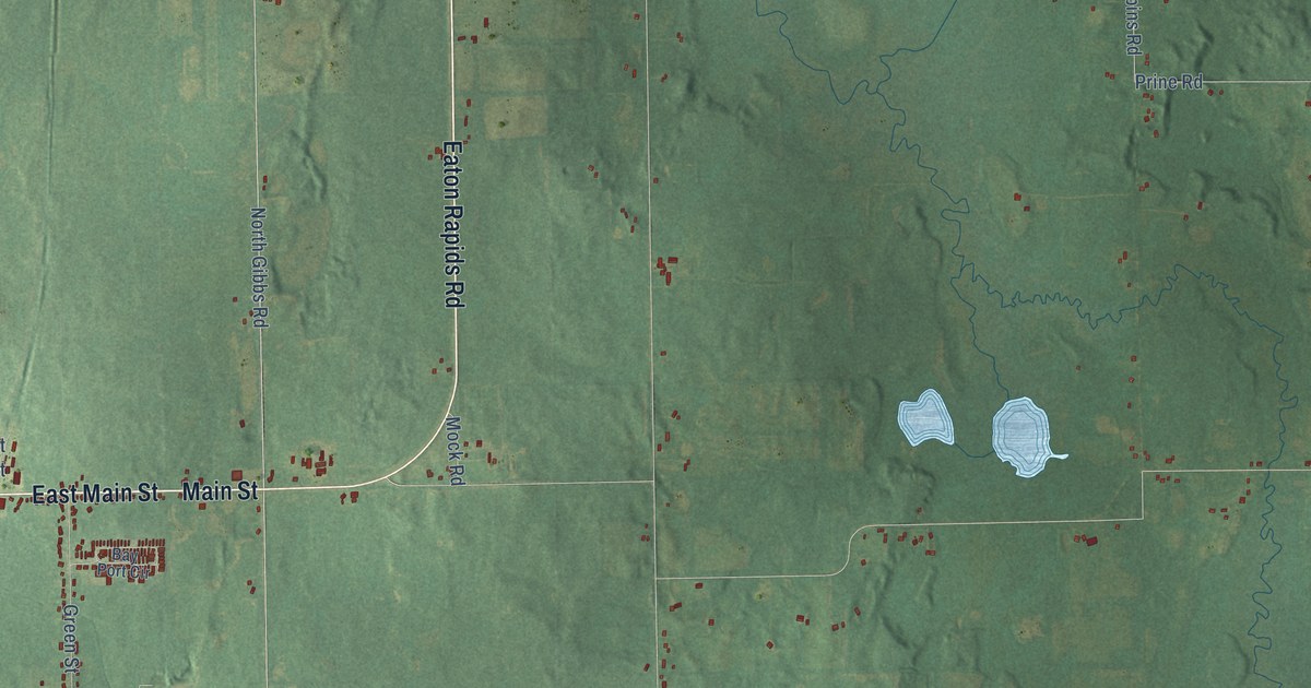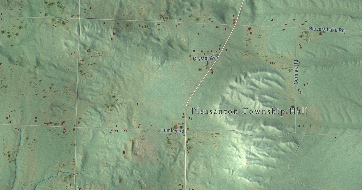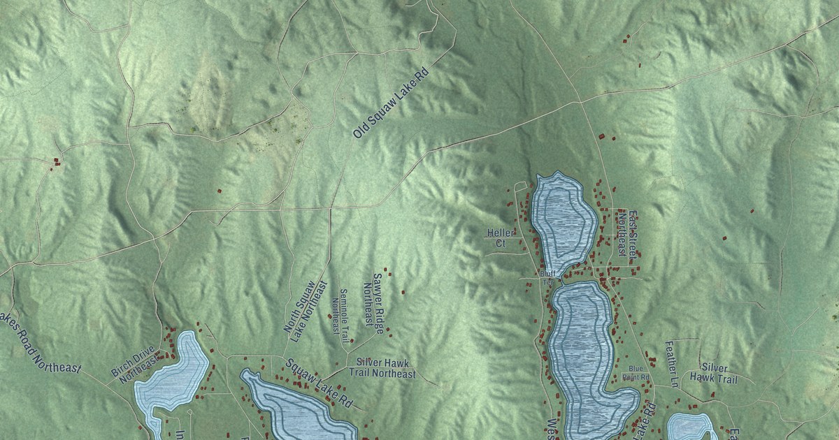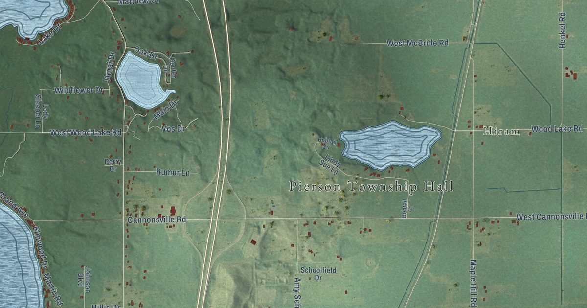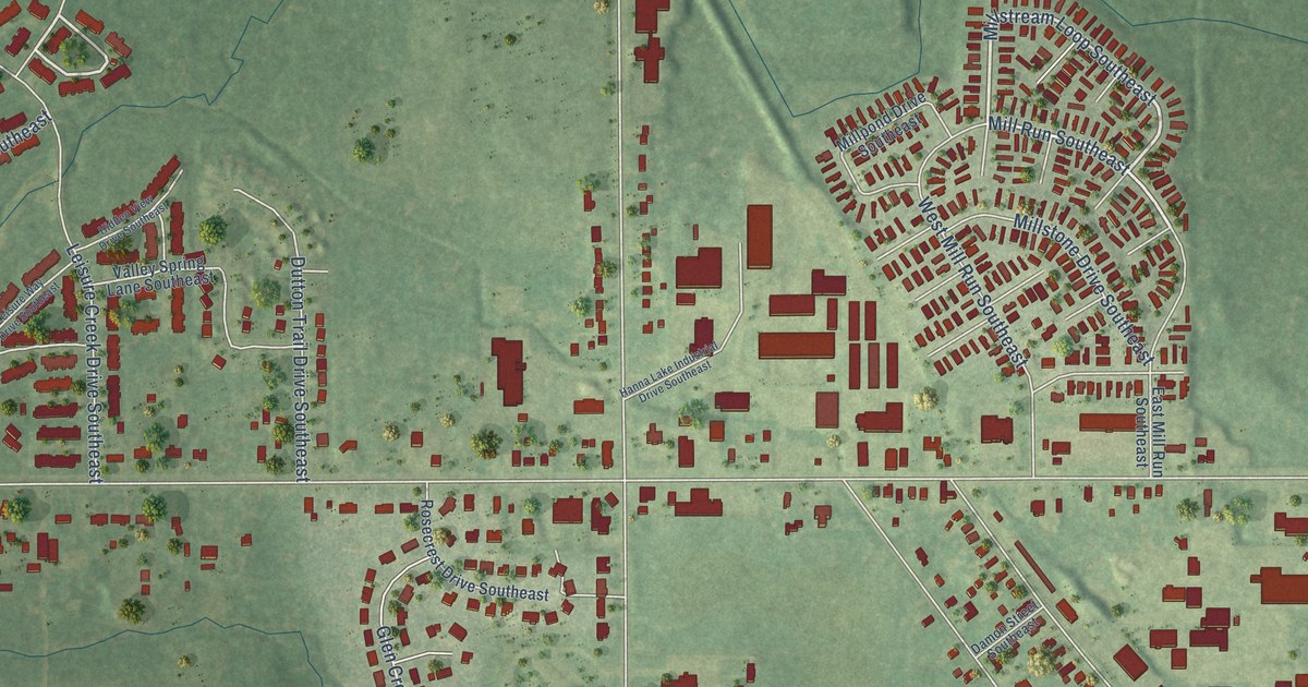
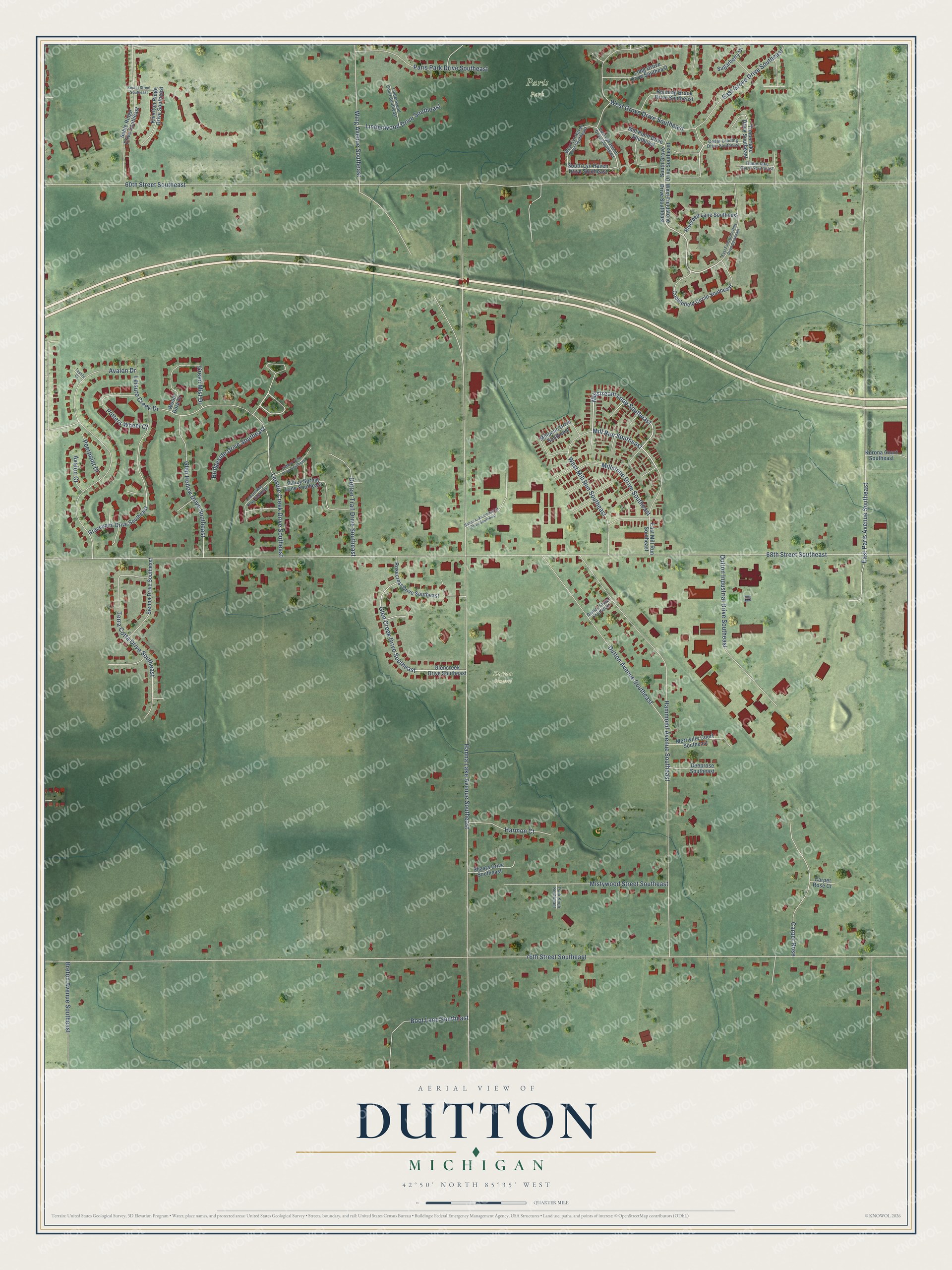
This beautifully detailed map of Dutton, Michigan was created in 2026 using aerial imagery combined with modern topographical, census, street and landmark data. It’s a one-of-a-kind view of Dutton that combines accurate data with a vintage aesthetic. The map shows every building in its true location, many of the roads carry their names, and the shaded topographic relief shows the shape of the land.
Explore an aerial view of Dutton, Michigan
On the map you’ll find Paris Park, Dutton Cemetery, and Mill Run Southeast, along with Millstream Loop Southeast, Hanna Lake Avenue Southeast, 60th Street Southeast, 76th Street Southeast, 68th Street Southeast, East Paris Avenue Southeast, Hammond Avenue Southeast, Wing Avenue Southeast, Avalon Drive, and more. If you look closely you can even find your house accurately drawn in its correct location. Zoom in on the preview to look for yours.
Did You Know?
From Internet Archive: "About 1840 two settlers named Eaton and Dutton made commencements upon section 14, but did not tarry a great while, Eaton selling out to Mathew Mulvaney and his son James."
Dutton is a community in Kent County.
Take a closer look at the Dutton map
Names on this map
These names are printed on this map.
Places: Paris Park and Dutton Cemetery.
Streets and roads: Millstream Loop Southeast, Mill Run Southeast, Hanna Lake Avenue Southeast, 60th Street Southeast, 76th Street Southeast, 68th Street Southeast, East Paris Avenue Southeast, Hammond Avenue Southeast, Wing Avenue Southeast, Avalon Drive, Leisure Creek Drive Southeast, Dutton Avenue Southeast.
More street names, A to Z
Avalon Court, Boot Lane Southeast, Breton Avenue Southeast, Bridgeside Drive Southeast, Carpet Rose, Carpet Rose Court, Cedar Landing Drive Southeast, Cobblefield Circle Southeast, Damon Street Southeast, Deeprose Southeast, Dutton Industrial Drive Southeast, Dutton Trail Drive Southeast, East Fieldstone Hills Drive Southeast, East Grove Drive Southeast, East Lyn Haven Drive Southeast, East Mill Run Southeast, Glen Creek Drive Southeast, Glencreek Drive Southeast, Glen Hollow Drive Southeast, Gracepoint Drive Southeast, Green Mist Drive, Hanna Lake Industrial Drive Southeast, Harmon Court, Hidden View Drive Southeast, Kiverton Ridge Drive Southeast, Korona Court Southeast, Leisure Creek Drive, Leisure Way Drive Southeast, Lindenwood Court Southeast, Lindenwood Drive Southeast, Long Grove Drive Southeast, Merriville Court Southeast, Mill Point Drive Southeast, Millpond Drive Southeast, Millstone Drive Southeast, Mistywood Street Southeast, Paris Park Drive Southeast, Park Knob Southeast, Peerpoint Drive, Potters Wheel Court, Riverbed Lane Southeast, Rosecrest Drive Southeast, Running Brook Drive Southeast, Sable Ridge Drive Southeast, Secret Street Southeast, Shasta Drive Southeast, Sienna Drive Southeast, South Grove Drive Southeast, South Lyn Haven Drive Southeast, Sugarberry Drive, Terra Cotta Drive Southeast, Testify Court, Timberlake Court Southeast, Timberlake Drive Southeast, Valley Spring Lane Southeast, West Fieldstone Drive Southeast, West Grove Drive Southeast, West Lyn Haven Drive Southeast, West Mill Run Southeast, Wood Dora Drive.
See it on a wall
The Dutton map as a framed print. Swipe for more.


This beautifully detailed map of Dutton makes an attractive addition to your office, library, or den, and it can even be used to teach children the geography and history of the area. It also makes a great gift for anyone who grew up in Dutton or moved away. When you’re done exploring, click here to get your copy of the Dutton map.