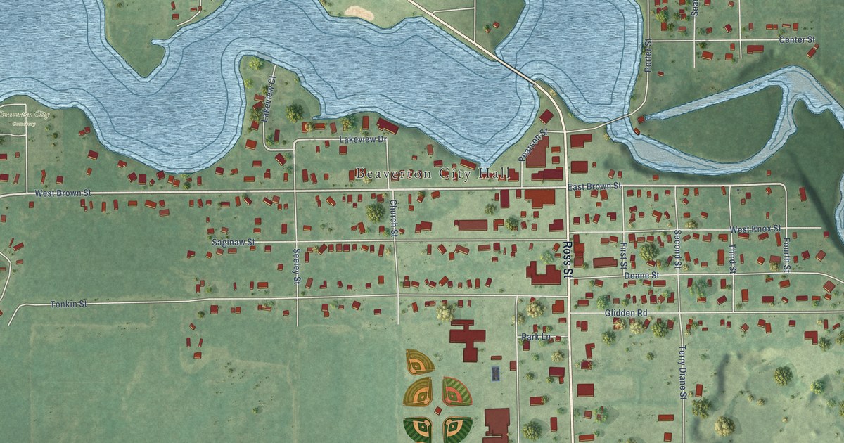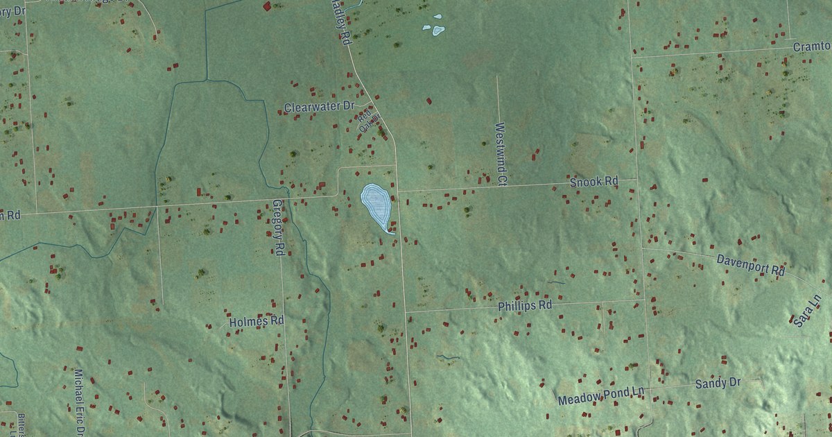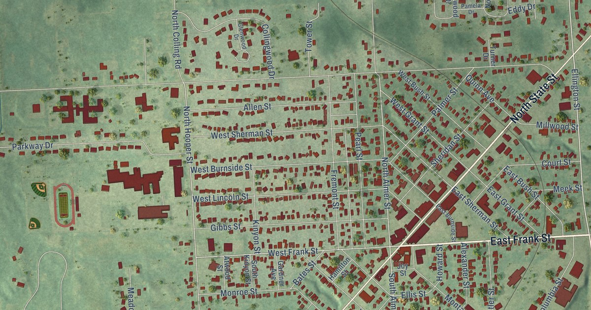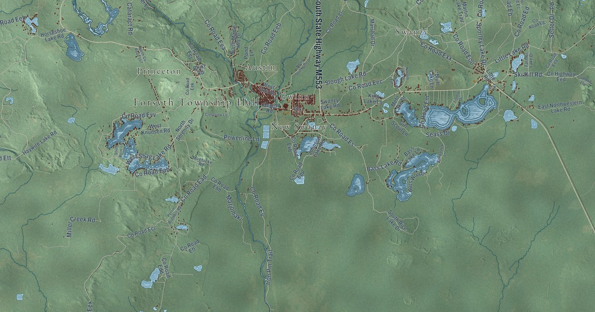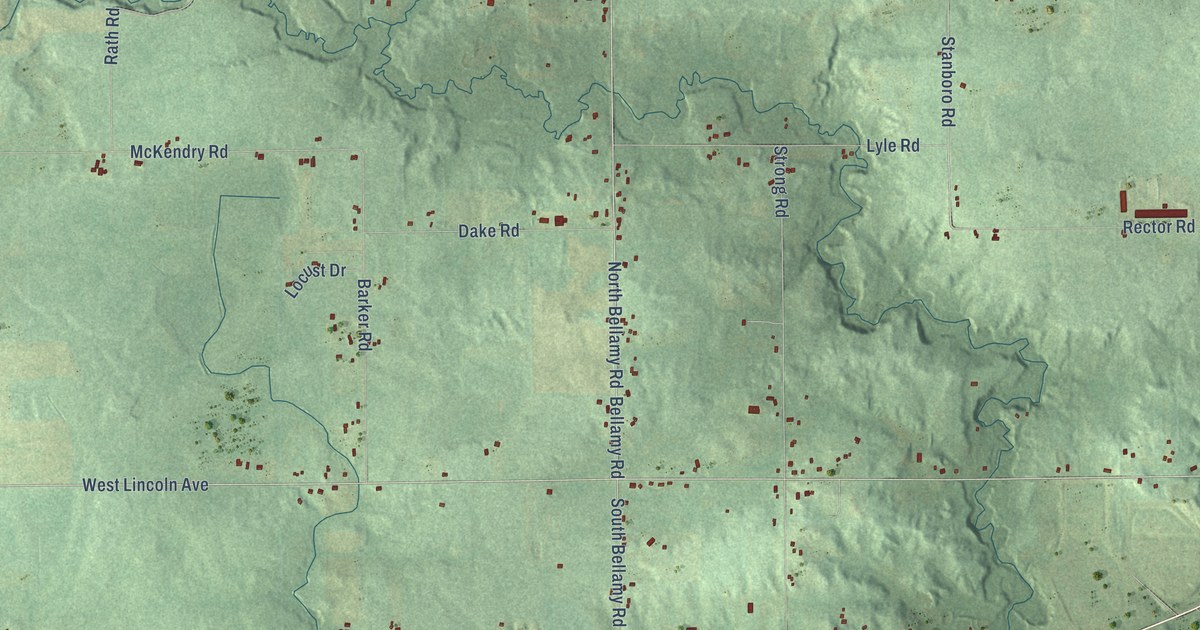
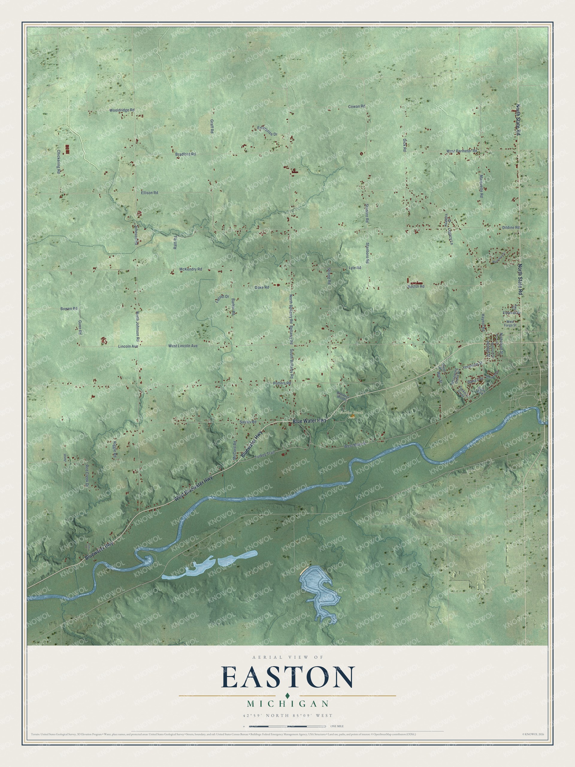
This beautifully detailed map of Easton, Michigan was created in 2026 using aerial imagery combined with modern topographical, census, street and landmark data. It's a modern aerial view of Easton in Ionia County, Michigan, that combines modern data with a vintage aesthetic. The roads feature printed names, and if you look closely you can find your exact house accurately shown in its correct location.
Explore an aerial view of Easton, Michigan
On this map you'll find Bertha Brock Park, West Bluewater Highway, Bluewater Highway, Blue Water Highway, North State Road, Turkey Trail, West Lincoln Avenue, Lincoln Avenue, South Bellamy Road, Bellamy Road, North Bellamy Road, Gunn Road, and more. Each red shape is a building, so zoom in on the preview and look for yours.
Here is a piece of Easton history, in the words of the record. The History of Ionia County puts it this way: "Easton's first postoffice was called Avon and was located at the home of Silas Sprague. The office was discontinued after a time and home mail accommodations were not restored there after until 1861, when Easton postoffice was established and William Dildine given charge."
The Census Bureau counted 3,058 people here in 2020.
Take a closer look at the Easton map
Names on this map
These names are printed on this map.
Places: Bertha Brock Park.
Streets and roads: West Bluewater Highway, Bluewater Highway, Blue Water Highway, North State Road, Turkey Trail, West Lincoln Avenue, Lincoln Avenue, South Bellamy Road, Bellamy Road, North Bellamy Road, Gunn Road, Johnson Road.
More street names, A to Z
Barker Road, Beresford Street, Bowen Road, Bradford Road, Brockton Woods, Bud's Boulevard, Chickering Road, Cowan Road, Dake Road, Dana's Drive, Dick Road, Dildine Road, Ellison Road, Elmwood Drive, Enterprise Drive, Graff Road, Hawkins Drive, Haynor Road, Janet, Jermyn Street, King Street, Legacy Lane, Locust Drive, Lucky Lane, Lyle Road, Marquette Road, McCord Road, McKendry Road, Meadowlark Drive, Nicholson Street, North Johnson Road, Potters Road, Price Street, Rath Road, Rector Road, Red Creek Drive, Riggle Road, Sayles Road, Sherwood Drive, Short Street, Stanboro Road, Stanbro Road, Strong Road, Tucker's Grade, Wall Street, West Fargo Street, West Main Street, West Parmeter Road, Whispering Creek Drive, Wooldridge Road, Yeomans Street.
Created by KNOWOL in 2026. The buildings are small red shapes, the roads carry their printed names, and shaded relief shows the shape of the land. The title panel reads "AERIAL VIEW OF EASTON, MICHIGAN" with 42°59' NORTH 85°09' WEST.
It suits a den, a classroom or a front hall, and it makes a gift for anyone with Easton roots. Open the preview and find the block you know. See sizes and frames for the Easton map.