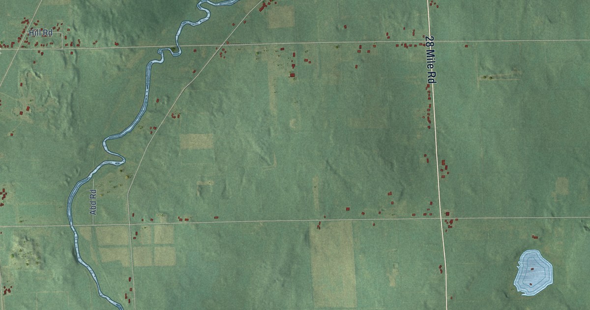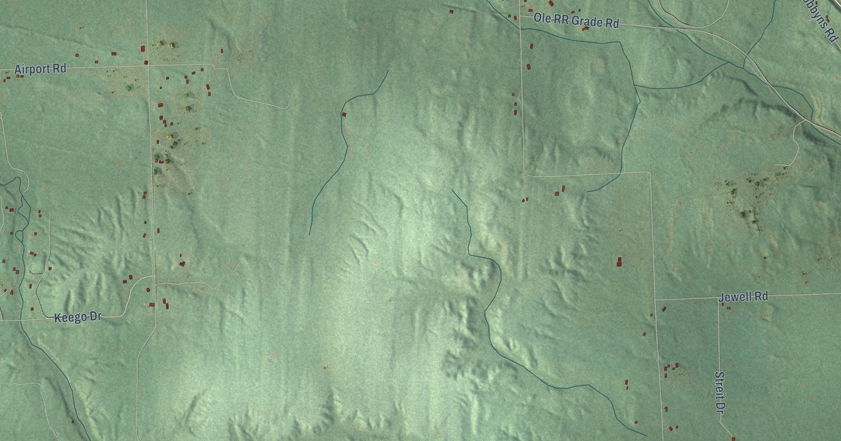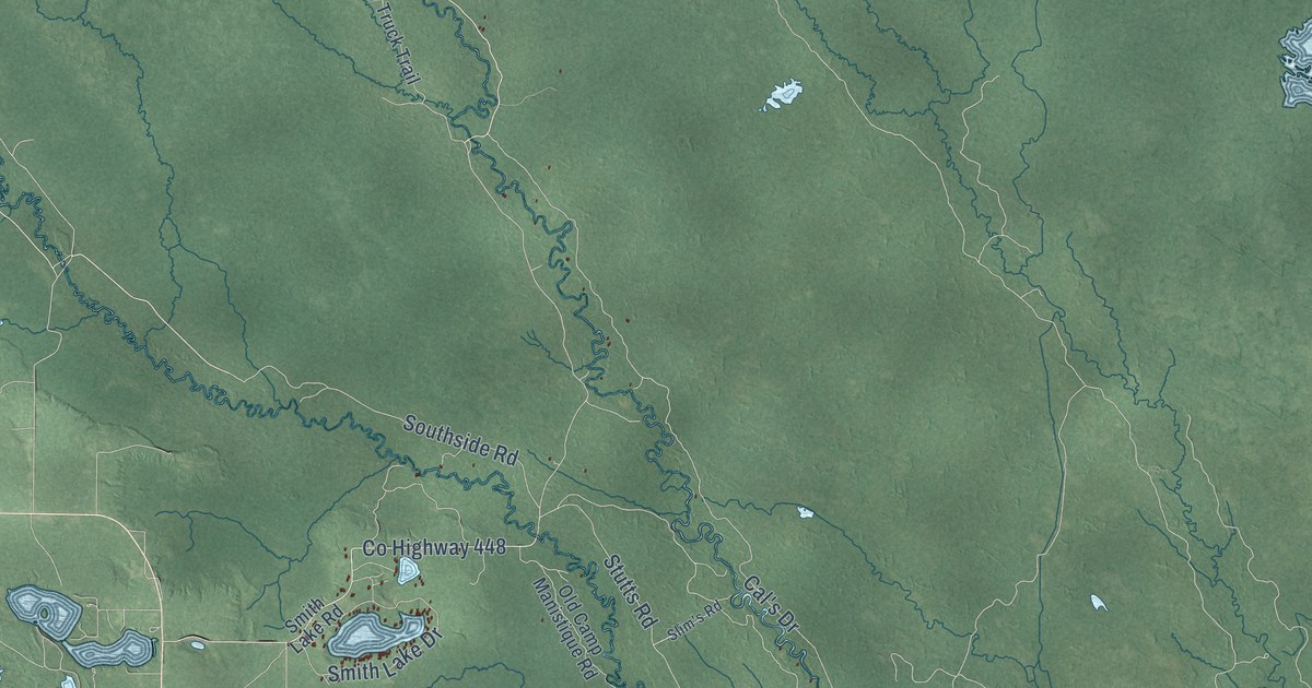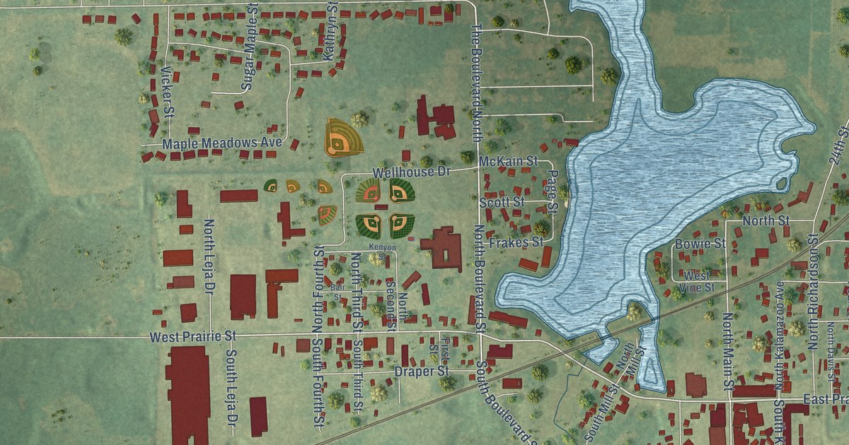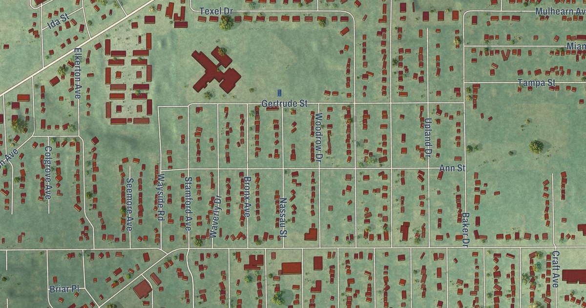
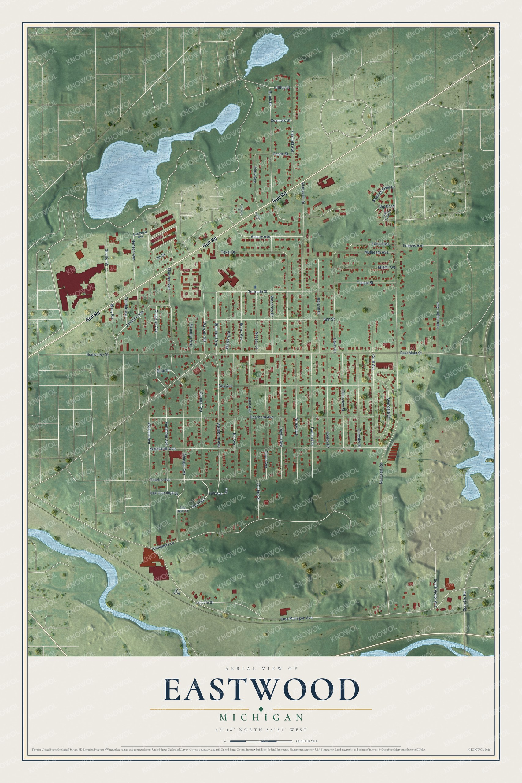
This beautifully detailed map of Eastwood, Michigan was created in 2026 using aerial imagery combined with modern topographical, census, street and landmark data. It's a modern aerial view of Eastwood in Kalamazoo County, Michigan, that combines modern data with a vintage aesthetic. The roads feature printed names, and if you look closely you can find your exact house accurately shown in its correct location.
Explore an aerial view of Eastwood, Michigan
On this map you'll find Gull Road, The Dells, Washburn Avenue, East Michigan Avenue, Nazareth Road, East Main Street, Kenilworth Avenue, Dearborn Avenue, Schippers Lane, Chicago Avenue, Texel Drive, Sunnyside Drive, and more. Each red shape is a building, so zoom in on the preview and look for yours.
Eastwood is a community in Kalamazoo County. The Census Bureau counted 6,366 people here in 2020. Eastwood sits about 2 miles southwest of Comstock Northwest, 2 miles southeast of Parchment and 3 miles northeast of Kalamazoo. The map prints the town name in its title panel, with the coordinates below it.
Take a closer look at the Eastwood map
Names on this map
These names are printed on this map.
Streets and roads: Gull Road, The Dells, Washburn Avenue, East Michigan Avenue, Nazareth Road, East Main Street, Kenilworth Avenue, Dearborn Avenue, Schippers Lane, Chicago Avenue, Texel Drive, Sunnyside Drive.
More street names, A to Z
Ann Street, Arthur Avenue, Asbury Avenue, Ashley Drive, Avondale Drive, Baker Drive, Big Bend, Bixby Road, Briar Place, Bronx Avenue, Brook Drive, Castle Street, Charles Avenue, Chrysler Street, Clark Avenue, Clearview Street, Colgrove Avenue, Cooper Avenue, Coy Avenue, Craft Avenue, Darling Street, Dayton Avenue, Dell, Dell Avenue, Dwillard Drive, Earl Street, Edna Boulevard, Elkerton Avenue, Fairfield Avenue, Fenimore Avenue, Francis Avenue, Gayle Avenue, Gertrude Street, Heather Lane, Henson Avenue, Hilltop Street, Humphrey Street, Huntington Avenue, Ida Street, Ira Avenue, Junction Avenue, Lakeview Avenue, Lakewood Drive, Lincoln Street, Lum Avenue, Miami Avenue, Mulhearn Avenue, Nassau Street, Oak Openings Street, Oak Tree Drive, Seamers Street, Seemore Avenue, Shadow Bend Drive, Shaffer Street, South Victor Avenue, Sprinkle Road, Stamford Avenue, Tampa Street, The Dells Street, Trimble Avenue, Upland Drive, Wallace Avenue, Waverly Drive, Wayside Road, Woodrow Drive.
See it on a wall
The Eastwood map as a framed print. Swipe for more.


Created by KNOWOL in 2026. The buildings are small red shapes, the roads carry their printed names, and shaded relief shows the shape of the land. The title panel reads "AERIAL VIEW OF EASTWOOD, MICHIGAN" with 42°18' NORTH 85°33' WEST.
Hang it in the hallway, the office or the cabin, or give it to someone who left Eastwood and still calls it home. Open the preview and look for a street you know. See sizes and frames for the Eastwood map.