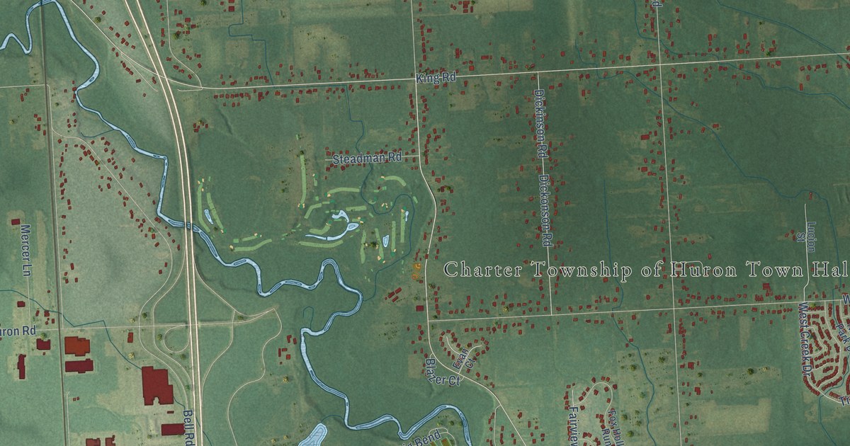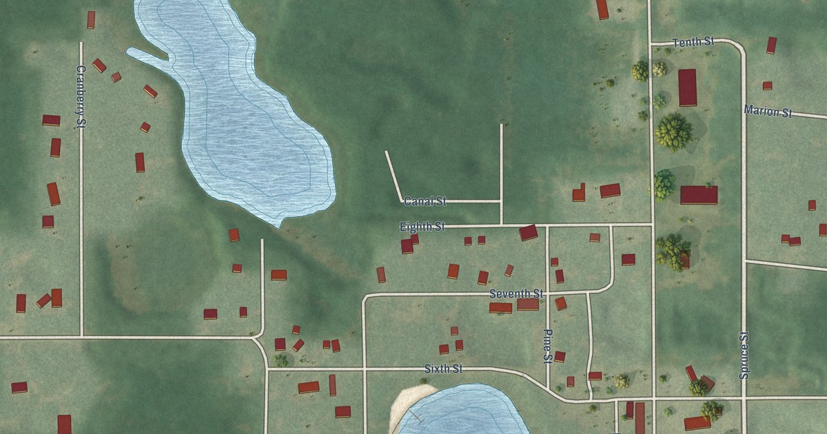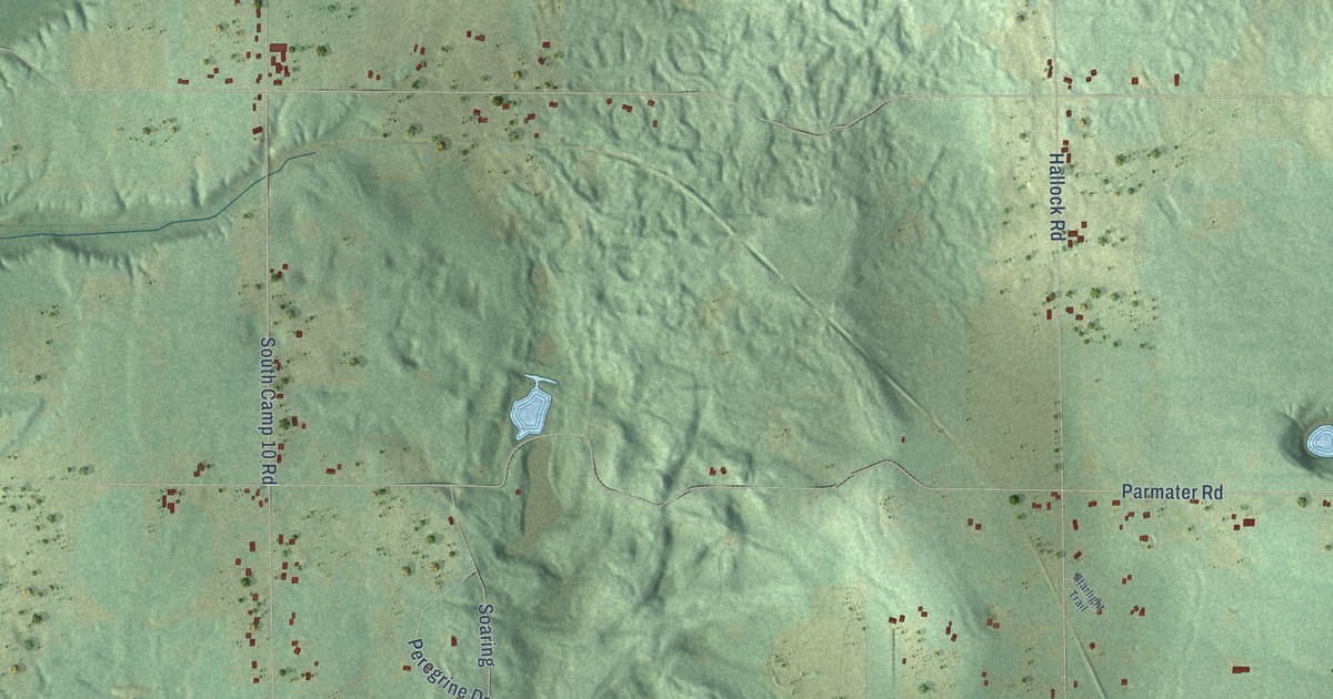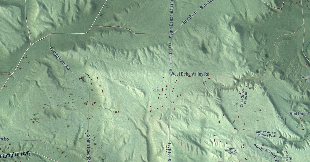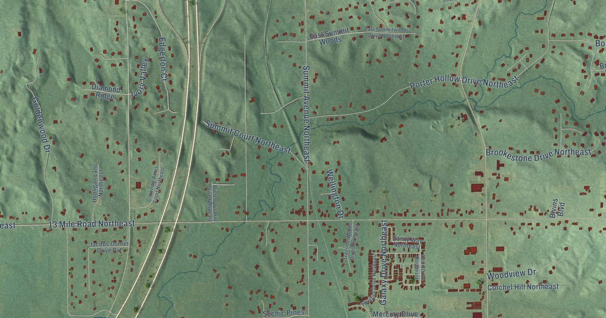
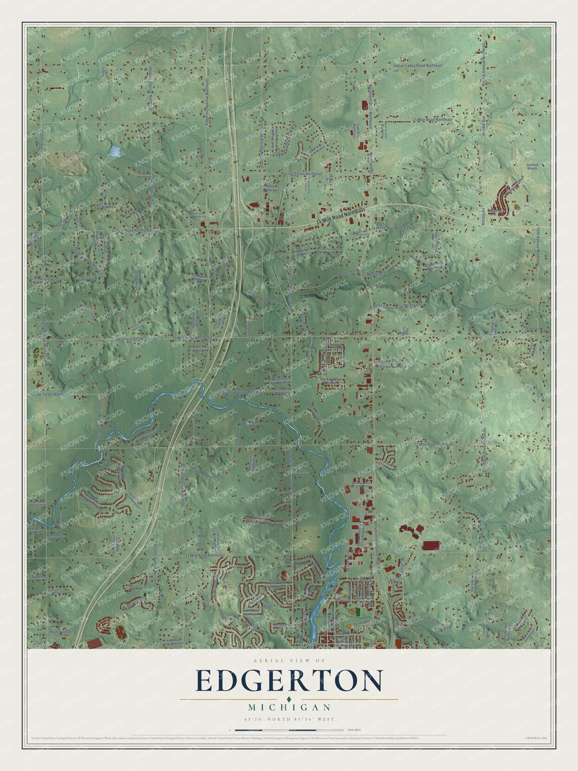
This beautifully detailed map of Edgerton, Michigan was created in 2026 using aerial imagery combined with modern topographical, census, street and landmark data. It’s a one-of-a-kind view of Edgerton that combines accurate data with a vintage aesthetic. The map shows every building in its true location, many of the roads carry their names, and the shaded topographic relief shows the shape of the land.
Explore an aerial view of Edgerton, Michigan
On the map you’ll find 14 Mile Road Northeast, Arbor Drive, Spring Street, 11 Mile Road Northeast, East Main Street, Northland Drive Northeast, Algoma Avenue Northeast, Edgerton Avenue Northeast, 12 Mile Road Northeast, 13 Mile Road Northeast, Summit Avenue Northeast, Indian Lakes Road Northeast, and more. If you look closely you can even find your house accurately drawn in its correct location. Zoom in on the preview to look for yours.
Did You Know?
From Internet Archive: "The Diocesan Memorial Fund is a combination of gifts from Parishes and the original Trust Fund established by Clara Edgerton."
Edgerton is a community in Kent County.
Take a closer look at the Edgerton map
Names on this map
These names are printed on this map.
Streets and roads: 14 Mile Road Northeast, Arbor Drive, Spring Street, 11 Mile Road Northeast, East Main Street, Northland Drive Northeast, Algoma Avenue Northeast, Edgerton Avenue Northeast, 12 Mile Road Northeast, 13 Mile Road Northeast, Summit Avenue Northeast, Indian Lakes Road Northeast.
More street names, A to Z
11 Mile Road, 14 Mile Court Northeast, 15 Mile Road Northeast, Adolph Avenue, Algoma Avenue, Algoma Woods Drive, Alshire Farms Drive Northeast, Aquarius Drive Northeast, Arbor Drive Northeast, Arloa, Ashridge Drive Northeast, Bivins Boulevard, Bonasa Drive, Branta Drive Northeast, Brookestone Drive Northeast, Byrne Industrial Drive Northeast, Castleway Court, Cedar Lane Northeast, Chelsea, Corchel Hill Northeast, County Highway B72 Northeast, Courtland Drive Northeast, Courtland Street Northeast, Crowning Acres Court Northeast, Crystal Ridge Drive Northeast, Deer Trail Northeast, Diamond Ridge, Dimick Drive Northeast, Donald Street, East Bridge Street Northeast, East Summit Woods, East Summitwoods Drive Northeast, Edgerton Court, Edgerton Valley Court Northeast, Elizabeth Avenue, Elstner Avenue Northeast, Eric Lane, Fonger Street Northeast, Forrest Trail Northeast, Four Seasons Drive Northeast, Friske Drive Northeast, Galaxy Drive Northeast, Glenbrook, Glen Eagle Drive Northeast, Glenpark Drive, Glenview Court, Goldenwood Drive, Greenwich Drive, Greenwich Drive Northeast, Hardwood Ridge Drive Northeast, Harvest Lane Northeast, Highlander Drive, Hooligan Lane Northeast, Hoskins Avenue, Hoskins Avenue Northeast, Ives Farm Lane Northeast, Ives Meadow Lane Northeast, Ivory Valley, Jacobs Corner Drive Pvt, Kayleekin Drive Northeast, Kay Lynn Drive, Kiki Run Northeast, Kingin Drive, Kingsley Drive, Lewis Street, Lindsey Drive, Little Cedar Creek, Luyk Drive Northeast, Mercury Drive Northeast, Northland Drive, North Main Street Northeast, North Monroe Street Northeast, Norwood Street, Oakbrook Ridge Northeast, Oakwood Trail, Olde Meadow Court Northeast, Olde Meadow Drive Northeast, Orchard Drive, Orion Drive Northeast, Park Place Drive, Point High Drive, Porter Hollow Drive Northeast, Prasada Drive Northeast, Prospect Street, Rector Avenue Northeast, Rector Road Northeast, Rector Street Northeast, Red Rose Lane, Richter Place, Ridge Water Drive, Ritchie Avenue, Ritchie Avenue Northeast, Ritchie Road, River Bluff Drive, Riverchase Drive, Riverwatch Road, Rockford Park Drive Northeast, Rockview Drive Northeast, Rogue Pond Drive Northeast, Rogue Wood Avenue Northeast, Royal Hannah Drive, Russell Ridge Drive Northeast, Russell Street Northeast, Saddle Ridge Drive Northeast, Sawmill Drive Northeast, Scenic Pines Drive Northeast, Schaap Woods, Serenity Shores Drive Northeast, Shaw Estates Drive Northeast, Sherwood Trail, Sigsbee Street, Sir Charles Drive, Stegman Forest Court, Sterling Hills Drive Northeast, Stoneridge Drive Northeast, Sugartree Drive, Summerfield Street, Summit Court Northeast, Summit Street, Sunset Ridge Northeast, Sunshine Lane Northeast, Sussex Court Northeast, Tefft Avenue Northeast, Terrace Park Drive, Tillie Run Northeast, Townsquare Boulevard, Trailside Woods Drive Northeast, Troyview Drive Northeast, Tyler Way Drive, Valley View Drive Northeast, Verschel Drive Northeast, Wellington Drive, West Bridge Street Northeast, West Morgan Trail Northeast, Whirlwind Drive Northeast, White Creek Avenue Northeast, White Creek Lane, White Tail Drive Northeast, Wierengo's Way Drive Northeast, Wild Goose Chase, Winding Ridge Trail Northeast, Windmill Drive Northeast, Windsor Drive Northeast, Winzer Drive, Wolven Avenue Northeast, Wolverine Boulevard Northeast, Wolverine Street, Wood Valley Court Northeast, Woodview Drive, Zandy Way Northeast.
See it on a wall
The Edgerton map as a framed print. Swipe for more.


This beautifully detailed map of Edgerton makes an attractive addition to your office, library, or den, and it can even be used to teach children the geography and history of the area. It also makes a great gift for someone who left Edgerton and still calls it home. When you’re done exploring, click here to get your copy of the Edgerton map.